Walk n196 Ring Chesters, Eccles Cairn and Trowupburn from Hethpool
This 8¼ mile, Grade 5 (Moderate), easy-to-follow, hand-crafted walk, complete with GPS Waypoints, starts at Hethpool & will take about 4½ hrs to complete.
   |
Vital Statistics:
| Length: | 8¼mls (13km) |
| Ascent: | 1,483ft (452m) |
| Time: | 4½hrs |
| Grade: |  |
Route outline for walk n196:
Hethpool - The St Cuthbert's Way - White Hill (Hethpool) - East Laddie's Knowe - Laddie's Knowe or Betsy's Cairn - Black Bog (Haddon Hill) - Haddon Hill - Ring Chesters - Sheepfold - Eccles Cairn - England / Scotland Border - The Pennine Way - Tuppie's Grave - The Tongue - Maddie's Well - Madam Law - Wideopen Head - Trowup Burn - Trowupburn - College Valley - College Burn - Hethpool
Peaks, Summits and Tops reached on this walk:
 0 English Mountains |
 0 Wainwrights |
 0 English Nuttalls |
 0 English Deweys |
 0 Wainwright Outlying Fells |
 0 Marilyns |
 0 Bridgets |
National Trails & Long Paths included on this walk:
Part of this walk follows a section of The Pennine Way, a 404km (251 miles) linear footpath connecting Edale in Derbyshire, England with Kirk Yetholm in The Borders, Scotland. The Pennine Way is waymarked by a National Trail Acorn. For more walks that include a section of this trail see The Pennine Way.
Part of this walk also follows a section of The St Cuthbert's Way, a 100km (62 miles) linear footpath connecting Melrose Abbey in The Borders, Scotland with Holy Island (Lindisfarne) in Northumberland, England. The St Cuthbert's Way is waymarked by a Celtic Cross. For more walks that include a section of this trail see The St Cuthbert's Way.
You can find this walk and other nearby walks on these unique Interactive Walk Planning Maps:
(worth a look if you're new to go4awalk.com & have never seen one of these before.)
1:25,000 scale OS Explorer Map (orange/yellow covers):
1:50,000 scale OS Landranger Map (pink/magenta covers):
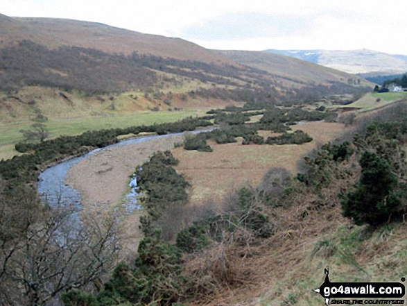
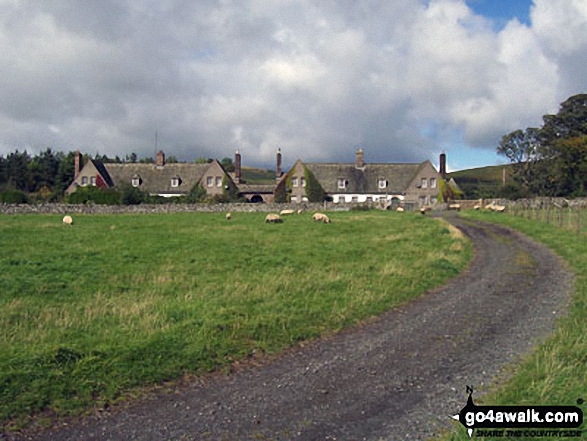
Some Photos and Pictures from Walk n196 Ring Chesters, Eccles Cairn and Trowupburn from Hethpool
In no particular order . . .

Longknowe Hill, White Hill (Hethpool), Easter Tor, Newton Tors, Hare Law, Hethpool, Great Hetha, and Ring Chesters from East Laddie's Knowe

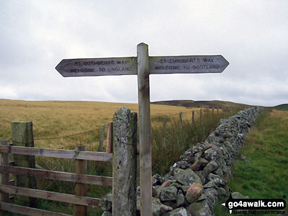
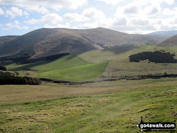
The St Cuthbert's Way crossing the border from Scotland into England near Eccles Cairn

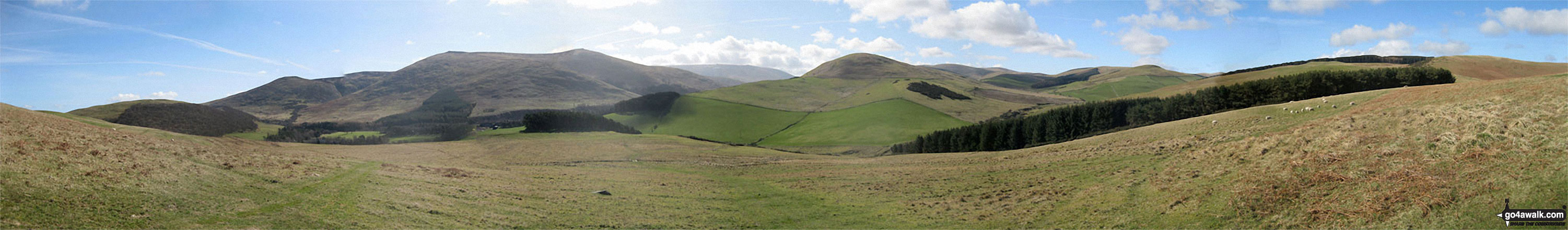
Easter Tor, Newton Tors, Hare Law, Hethpool, Great Hetha, Madam Law, Eccles Cairn and Coldsmouth Hill from White Hill (Hethpool)


. . . load all 25 walk photos from Walk n196 Ring Chesters, Eccles Cairn and Trowupburn from Hethpool
Send us your photographs and pictures from your walks and hikes
We would love to see your photographs and pictures from walk n196 Ring Chesters, Eccles Cairn and Trowupburn from Hethpool. Send them in to us as email attachments (configured for any computer) along with your name and where the picture was taken to:
and we shall do our best to publish them.
(Guide Resolution = 300dpi. At least = 660 pixels (wide) x 440 pixels (high).)

You can also submit photos from walk n196 Ring Chesters, Eccles Cairn and Trowupburn from Hethpool via our Facebook Page.
NB. Please indicate where each photo was taken.

To contribute to go4awalk.com or to contact us about anything at all - see Talk To Us.
For help see Help.
go4awalk.com and go4awalk.co.uk are registered trademarks of TMDH Limited.
Copyright © 2000-2026 TMDH Limited. All rights reserved.
Copyright Terms & Conditions Privacy Statement
A - Z Walks Home Log On/Accounts Photo Gallery Walk Ideas and Collections Fell Facts Hill Skills Walking Questions and Answers Your Stories News Competitions Product Reviews/Gear Tests Walking Gear Guides Peaks and Mountains Peak Bagging Find New Walking Friends Camping GPS Waypoints for Walking Contents Walk Search Talk To Us go4awalk.com Help Free Example Walks Newsletter


