   |
Vital Statistics:
| Length: | 7¼mls (11.5km) |
| Ascent: | 1,165ft (355m) |
| Time: | 3¾hrs |
| Grade: |  |
Route outline for walk n110:
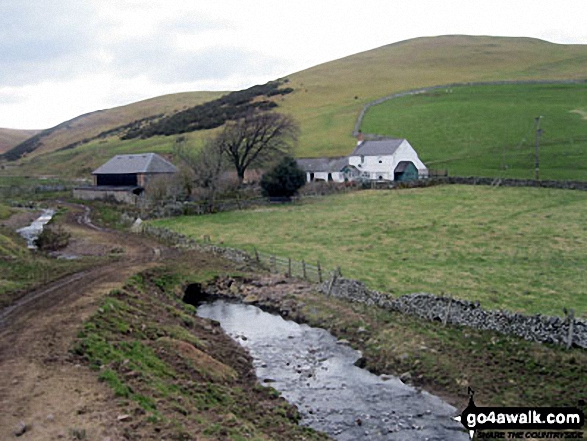
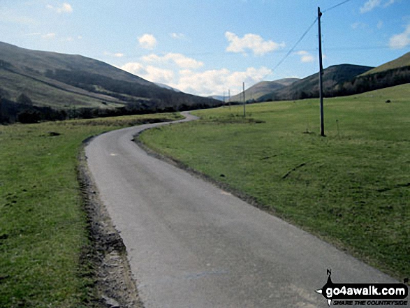
Hethpool - The St Cuthbert's Way - Elsdon Burn - Elsdonburn Farm - Shank's Sike - Scaldhill Shank - Tom's Knowe - Tuppie's Sike - Eccles Cairn - England / Scotland Border - The Pennine Way - Tuppie's Grave - The Tongue - Maddie's Well - Madam Law - Wideopen Head - Trowup Burn - Trowupburn - College Valley - College Burn - Hethpool
National Trails & Long Paths included on this walk:
Part of this walk follows a section of The Pennine Way, a 404km (251 miles) linear footpath connecting Edale in Derbyshire, England with Kirk Yetholm in The Borders, Scotland. The Pennine Way is waymarked by a National Trail Acorn. For more walks that include a section of this trail see The Pennine Way.
Part of this walk also follows a section of The St Cuthbert's Way, a 100km (62 miles) linear footpath connecting Melrose Abbey in The Borders, Scotland with Holy Island (Lindisfarne) in Northumberland, England. The St Cuthbert's Way is waymarked by a Celtic Cross. For more walks that include a section of this trail see The St Cuthbert's Way.
You can find this walk and other nearby walks on these unique free-to-access Interactive Walk Planning Maps:
1:25,000 scale OS Explorer Map (orange/yellow covers):
1:50,000 scale OS Landranger Map (pink/magenta covers):
Some Photos and Pictures from Walk n110 The St Cuthbert's Way and Eccles Cairn from Hethpool
In no particular order . . .
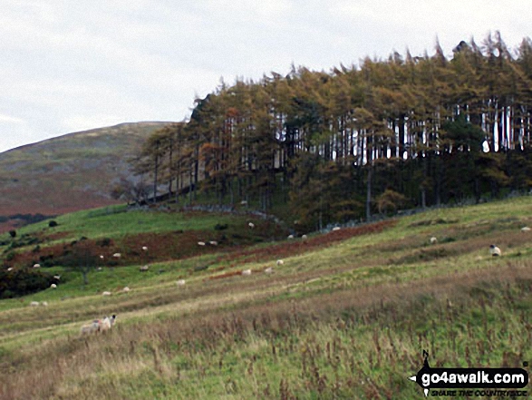
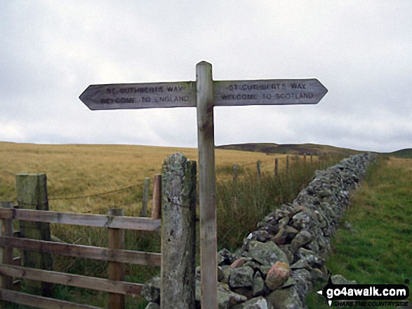
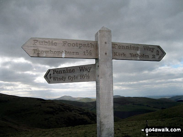
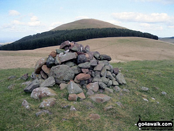
The St Cuthbert's Way crossing the border from Scotland into England near Eccles Cairn
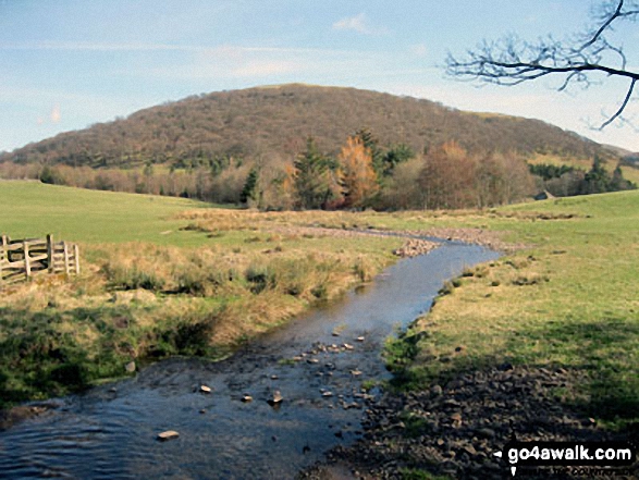
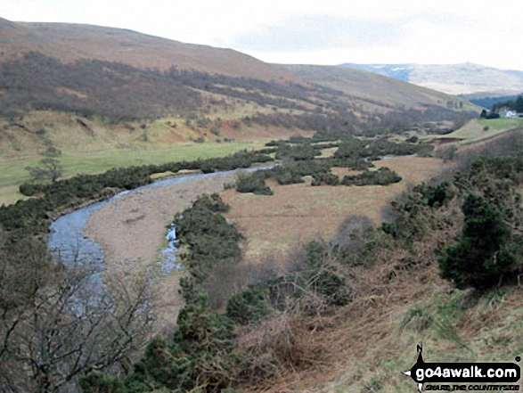
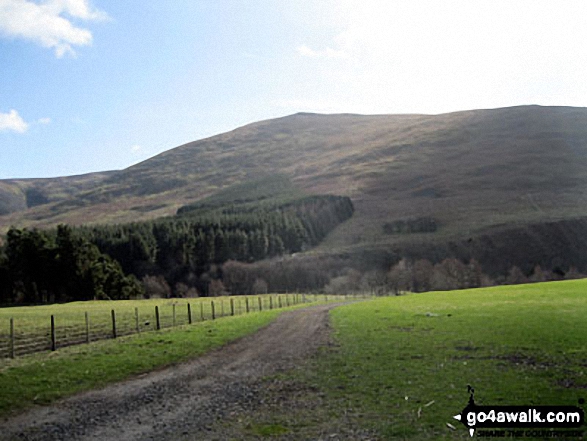
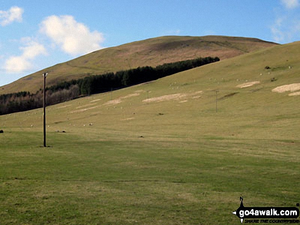
Hare Law, Coldburn Hill, College Valley, Blackhaggs Rigg, Black Hag and Sinkside Hill from Hethpool
Send us your photographs and pictures from your walks and hikes
We would love to see your photographs and pictures from walk n110 The St Cuthbert's Way and Eccles Cairn from Hethpool. Send them in to us as email attachments (configured for any computer) along with your name and where the picture was taken to:
and we shall do our best to publish them.
(Guide Resolution = 300dpi. At least = 660 pixels (wide) x 440 pixels (high).)

You can also submit photos from walk n110 The St Cuthbert's Way and Eccles Cairn from Hethpool via our Facebook Page.
NB. Please indicate where each photo was taken.


