The 30 nearest, easy-to-follow, circular walks, routes & maps to UK Postcode DN14

The thirty nearest, easy-to-follow, circular walks, routes & maps to UK Postcode DN14 in Walk Grade Order


Not familiar with the area around DN14?

See these 30 nearest walks to UK Postcode DN14 on a google map


Walk 1 Walking Bootprint Icon

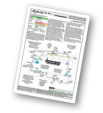
Walk wy112 Harewood House and Gardens from Cote Hill

Lovely parkland

Download GPS Waypoint Data for walk wy112
Download GPX Waypoint Data for walk wy112
Download Map and Route Details for walk wy112

Vital Statistics:

Length:6.75 miles (11 km)
Ascent:696ft (212m)
Time:3.25hrs
Grade:Grade 3 Walking Easy
Walk 2 Walking Bootprint Icon

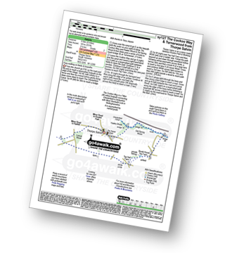
Walk sy127 The Cuckoo Way and Turnerwood from Thorpe Salvin

Easy walking on fields and towpaths

Download GPS Waypoint Data for walk sy127
Download GPX Waypoint Data for walk sy127
Download Map and Route Details for walk sy127

Vital Statistics:

Length:6 miles (9.5 km)
Ascent:331ft (101m)
Time:2½ hrs
Grade:Grade 2 Walking Easy
Walk 3 Walking Bootprint Icon

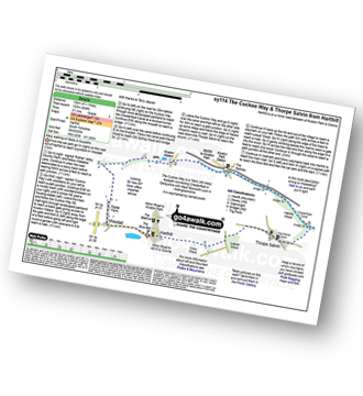
Walk sy114 The Cuckoo Way and Thorpe Salvin from Harthill

Easy walking on fields and towpaths

Download GPS Waypoint Data for walk sy114
Download GPX Waypoint Data for walk sy114
Download Map and Route Details for walk sy114

Vital Statistics:

Length:8.25 miles (13 km)
Ascent:404ft (123m)
Time:3½ hrs
Grade:Grade 3 Walking Easy
Walk 4 Walking Bootprint Icon

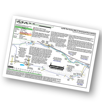
Walk sy100 The Cuckoo Way and Turnerwood from Harthill

Easy walking on fields and towpaths

Download GPS Waypoint Data for walk sy100
Download GPX Waypoint Data for walk sy100
Download Map and Route Details for walk sy100

Vital Statistics:

Length:10 miles (16 km)
Ascent:515ft (157m)
Time:4½ hrs
Grade:Grade 4 Walking Moderate
Walk 5 Walking Bootprint Icon

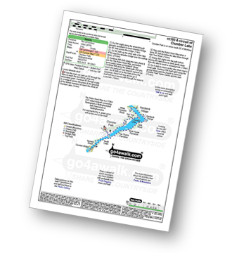
Walk nt100 A circuit of Clumber Lake

Lovely lakeside stroll

Download GPS Waypoint Data for walk nt100
Download GPX Waypoint Data for walk nt100
Download Map and Route Details for walk nt100

Vital Statistics:

Length:4.5 miles (7 km)
Ascent:407ft (124m)
Time:2 hrs
Grade:Grade 2 Walking Easy
Walk 6 Walking Bootprint Icon

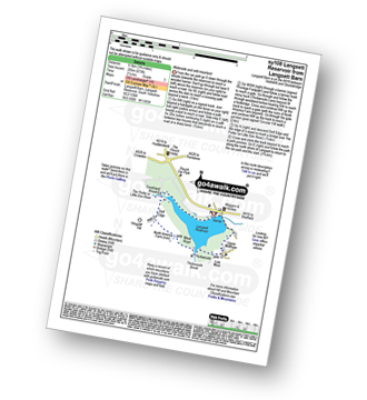
Walk sy108 Langsett Reservoir from Langsett Barn

Waterside and wild moorland walking

Download GPS Waypoint Data for walk sy108
Download GPX Waypoint Data for walk sy108
Download Map and Route Details for walk sy108

Vital Statistics:

Length:3.75 miles (6.5 km)
Ascent:673ft (205m)
Time:2.25hrs
Grade:Grade 3 Walking Easy
Walk 7 Walking Bootprint Icon

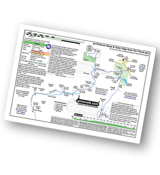
Walk sy119 Horse Stone and Outer Edge from The Flouch

Fine moorland walk - but good navigation skills needed in mist

Download GPS Waypoint Data for walk sy119
Download GPX Waypoint Data for walk sy119
Download Map and Route Details for walk sy119

Vital Statistics:

Length:11.5 miles (18.5 km)
Ascent:1,674ft (510m)
Time:6 hrs
Grade:Grade 6 Walking Moderate
Walk 8 Walking Bootprint Icon

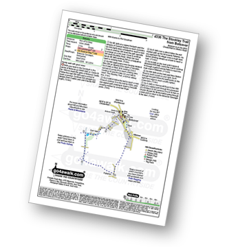
Walk d336 The Stockley Trail from Bolsover

Family walk with good views

Download GPS Waypoint Data for walk d336
Download GPX Waypoint Data for walk d336
Download Map and Route Details for walk d336

Vital Statistics:

Length:4.75 miles (7 km)
Ascent:394ft (120m)
Time:2 hrs
Grade:Grade 2 Walking Easy
Walk 9 Walking Bootprint Icon

Walk wy108 Upperthong and Netherthong from Holmfirth

Last of the summer wine country

Download GPS Waypoint Data for walk wy108
Download GPX Waypoint Data for walk wy108
Download Map and Route Details for walk wy108

Vital Statistics:

Length:6 miles (9.5 km)
Ascent:1,152ft (351m)
Time:3.25hrs
Grade:Grade 4 Walking Moderate
Walk 10 Walking Bootprint Icon

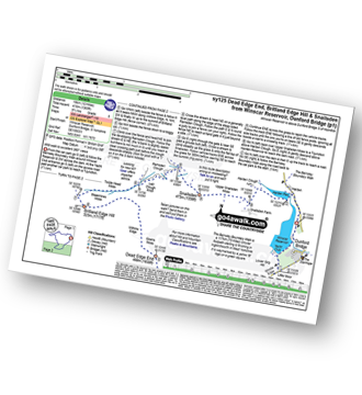
Walk sy125 Dead Edge End, Britland Edge Hill and Snailsden from Winscar Reservoir, Dunford Bridge

Wild walk to excellent 360� views

Download GPS Waypoint Data for walk sy125
Download GPX Waypoint Data for walk sy125
Download Map and Route Details for walk sy125

Vital Statistics:

Length:12 miles (19 km)
Ascent:1,365ft (416m)
Time:5.75hrs
Grade:Grade 6 Walking Moderate
Walk 11 Walking Bootprint Icon

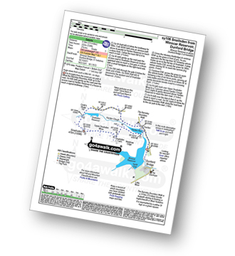
Walk sy106 Snailsden from Winscar Reservoir, Dunford Bridge

Huge views from such a little hill

Download GPS Waypoint Data for walk sy106
Download GPX Waypoint Data for walk sy106
Download Map and Route Details for walk sy106

Vital Statistics:

Length:5.5 miles (8.5 km)
Ascent:728ft (222m)
Time:2.75hrs
Grade:Grade 3 Walking Easy
Walk 12 Walking Bootprint Icon

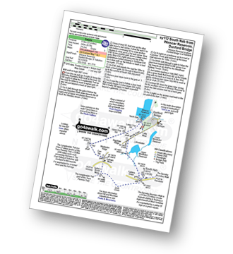
Walk sy112 South Nab from Winscar Reservoir, Dunford Bridge

Wild walk to huge 360° views

Download GPS Waypoint Data for walk sy112
Download GPX Waypoint Data for walk sy112
Download Map and Route Details for walk sy112

Vital Statistics:

Length:5.25 miles (8.5 km)
Ascent:817ft (249m)
Time:2.75hrs
Grade:Grade 3 Walking Easy
Walk 13 Walking Bootprint Icon

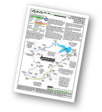
Walk sy134 Dead Edge End from Winscar Reservoir, Dunford Bridge

Wild walk to excellent 360° views

Download GPS Waypoint Data for walk sy134
Download GPX Waypoint Data for walk sy134
Download Map and Route Details for walk sy134

Vital Statistics:

Length:7.25 miles (11.5 km)
Ascent:896ft (273m)
Time:3.75hrs
Grade:Grade 5 Walking Moderate
Walk 14 Walking Bootprint Icon

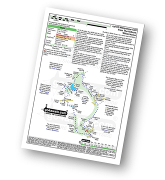
Walk ny105 Whitestone Cliff from The Kilburn White Horse

Fine views over the Vale of Mowbray

Download GPS Waypoint Data for walk ny105
Download GPX Waypoint Data for walk ny105
Download Map and Route Details for walk ny105

Vital Statistics:

Length:6.25 miles (10 km)
Ascent:1,355ft (413m)
Time:3.75hrs
Grade:Grade 4 Walking Moderate
Walk 15 Walking Bootprint Icon

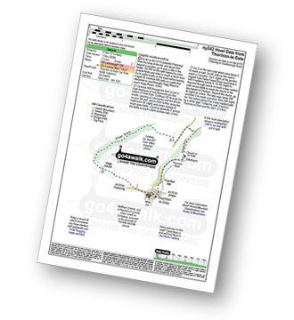
Walk ny242 Howl Dale from Thornton-le-Dale

Delightful woodland walking

Download GPS Waypoint Data for walk ny242
Download GPX Waypoint Data for walk ny242
Download Map and Route Details for walk ny242

Vital Statistics:

Length:5.25 miles (8.5 km)
Ascent:380ft (116m)
Time:2.25hrs
Grade:Grade 2 Walking Easy

Not familiar with the area around DN14?

See these 30 nearest walks to UK Postcode DN14 on a google map


Walk 16 Walking Bootprint Icon

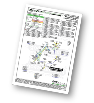
Walk d247 White Edge Moor and Padley Gorge from Longshaw Country Park

Stunning scenery

Download GPS Waypoint Data for walk d247
Download GPX Waypoint Data for walk d247
Download Map and Route Details for walk d247

Vital Statistics:

Length:4.5 miles (7 km)
Ascent:804ft (245m)
Time:2½ hrs
Grade:Grade 3 Walking Easy
Walk 17 Walking Bootprint Icon

Walk d281 Higger Tor and Burbage Rocks from Longshaw Country Park

A pleasant stroll with superb views

Download GPS Waypoint Data for walk d281
Download GPX Waypoint Data for walk d281
Download Map and Route Details for walk d281

Vital Statistics:

Length:5.5 miles (8.5 km)
Ascent:1,007ft (307m)
Time:3 hrs
Grade:Grade 4 Walking Moderate
Walk 18 Walking Bootprint Icon

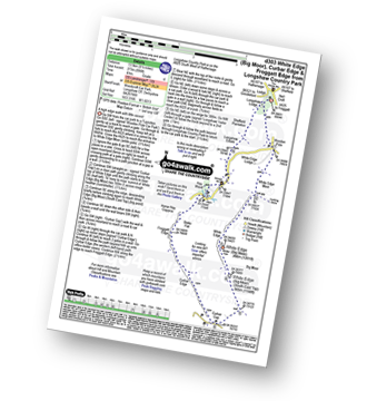
Walk d303 White Edge (Big Moor), Curbar Edge and Froggatt Edge from Longshaw Country Park

A high edge walk with little ascent

Download GPS Waypoint Data for walk d303
Download GPX Waypoint Data for walk d303
Download Map and Route Details for walk d303

Vital Statistics:

Length:8.5 miles (13.5 km)
Ascent:896ft (273m)
Time:4 hrs
Grade:Grade 4 Walking Moderate
Walk 19 Walking Bootprint Icon

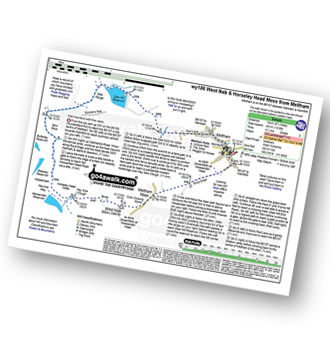
Walk wy106 West Nab and Horseley Head Moss from Meltham

Wild moorland with fine views

Download GPS Waypoint Data for walk wy106
Download GPX Waypoint Data for walk wy106
Download Map and Route Details for walk wy106

Vital Statistics:

Length:8.75 miles (14 km)
Ascent:1,316ft (401m)
Time:4½ hrs
Grade:Grade 5 Walking Moderate
Walk 20 Walking Bootprint Icon

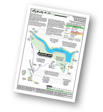
Walk d144 Winhill Pike (Win Hill) and Hope Cross from Yorkshire Bridge

A steep ascent to superb views

Download GPS Waypoint Data for walk d144
Download GPX Waypoint Data for walk d144
Download Map and Route Details for walk d144

Vital Statistics:

Length:8.75 miles (14 km)
Ascent:1,887ft (575m)
Time:5.25hrs
Grade:Grade 6 Walking Moderate
Walk 21 Walking Bootprint Icon

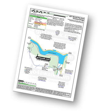
Walk d271 Winhill Pike (Win Hill) from Yorkshire Bridge

A steady but gentle ascent to superb views

Download GPS Waypoint Data for walk d271
Download GPX Waypoint Data for walk d271
Download Map and Route Details for walk d271

Vital Statistics:

Length:6.75 miles (10.5 km)
Ascent:1,289ft (393m)
Time:3.75hrs
Grade:Grade 4 Walking Moderate
Walk 22 Walking Bootprint Icon

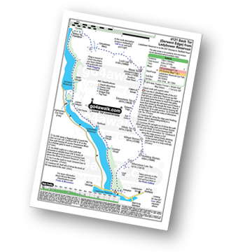
Walk d121 Back Tor from Ashopton Bridge, Ladybower Reservoir

Classic walk with superb views

Download GPS Waypoint Data for walk d121
Download GPX Waypoint Data for walk d121
Download Map and Route Details for walk d121

Vital Statistics:

Length:10 miles (16 km)
Ascent:1,568ft (478m)
Time:5.25hrs
Grade:Grade 6 Walking Moderate
Walk 23 Walking Bootprint Icon

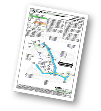
Walk d136 Crook Hill (Ladybower) from Ladybower Reservoir

Superb views from a little climbed hill

Download GPS Waypoint Data for walk d136
Download GPX Waypoint Data for walk d136
Download Map and Route Details for walk d136

Vital Statistics:

Length:4.75 miles (7.5 km)
Ascent:1,195ft (364m)
Time:3 hrs
Grade:Grade 4 Walking Moderate
Walk 24 Walking Bootprint Icon

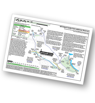
Walk d212 Alport Castles from Fairholmes Car Park, Ladybower Reservoir

Stunning cliff scenery & wild moorland

Download GPS Waypoint Data for walk d212
Download GPX Waypoint Data for walk d212
Download Map and Route Details for walk d212

Vital Statistics:

Length:10 miles (16 km)
Ascent:2,368ft (722m)
Time:6 hrs
Grade:Grade 6 Walking Moderate
Walk 25 Walking Bootprint Icon

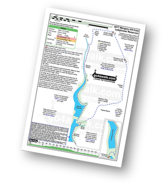
Walk d277 Margery Hill from Fairholmes Car Park, Ladybower Reservoir

Wild moorland with superb views

Download GPS Waypoint Data for walk d277
Download GPX Waypoint Data for walk d277
Download Map and Route Details for walk d277

Vital Statistics:

Length:12.75 miles (20.5 km)
Ascent:2,094ft (638m)
Time:6.75hrs
Grade:Grade 7 Walking Hard
Walk 26 Walking Bootprint Icon

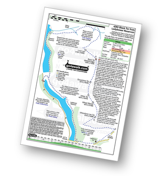
Walk d260 Back Tor from Fairholmes Car Park, Ladybower Reservoir

A classic walk with superb views

Download GPS Waypoint Data for walk d260
Download GPX Waypoint Data for walk d260
Download Map and Route Details for walk d260

Vital Statistics:

Length:13.75 miles (22 km)
Ascent:2,061ft (628m)
Time:7 hrs
Grade:Grade 7 Walking Hard
Walk 27 Walking Bootprint Icon

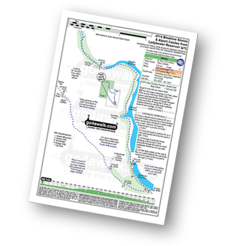
Walk d114 Alport Castles and Bleaklow Stones from Fairholmes Car Park, Ladybower Reservoir

Rough & wild with one steep ascent

Download GPS Waypoint Data for walk d114
Download GPX Waypoint Data for walk d114
Download Map and Route Details for walk d114

Vital Statistics:

Length:16.5 miles (26.5 km)
Ascent:2,604ft (794m)
Time:8½ hrs
Grade:Grade 8 Walking Hard
Walk 28 Walking Bootprint Icon

Walk d298 Back Tor and Margery Hill from Fairholmes Car Park, Ladybower Reservoir

A long but classic walk with superb views

Download GPS Waypoint Data for walk d298
Download GPX Waypoint Data for walk d298
Download Map and Route Details for walk d298

Vital Statistics:

Length:19.75 miles (31.5 km)
Ascent:2,757ft (840m)
Time:9.75hrs
Grade:Grade 8 Walking Hard
Walk 29 Walking Bootprint Icon

Walk d130 Stanage Edge, High Neb and Bamford Moor from Hathersage

High level route with glorious views

Download GPS Waypoint Data for walk d130
Download GPX Waypoint Data for walk d130
Download Map and Route Details for walk d130

Vital Statistics:

Length:9.5 miles (15 km)
Ascent:2,097ft (639m)
Time:5½ hrs
Grade:Grade 6 Walking Moderate
Walk 30 Walking Bootprint Icon

Walk d189 White Edge (Big Moor) and Curbar Edge from Grindleford Station

Fine Edge walk with great views

Download GPS Waypoint Data for walk d189
Download GPX Waypoint Data for walk d189
Download Map and Route Details for walk d189

Vital Statistics:

Length:10.75 miles (17 km)
Ascent:1,493ft (455m)
Time:5½ hrs
Grade:Grade 6 Walking Moderate

Not familiar with the area around DN14?

See these 30 nearest walks to UK Postcode DN14 on a google map


Do not miss our pick of the Best Walks in the UK


Follow go4awalk.com on Twitter Follow go4awalk.com on Facebook


Do not miss our pick of the Best Walks in the UK