   |
Vital Statistics:
| Length: | 10mls (16km) |
| Ascent: | 2,368ft (722m) |
| Time: | 6hrs |
| Grade: |  |
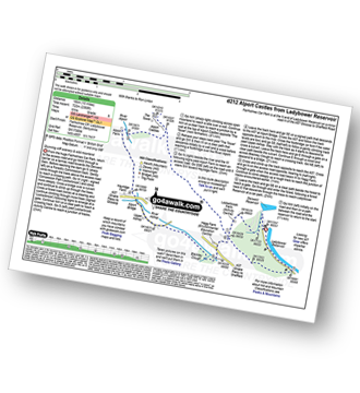
Route outline for walk d212:
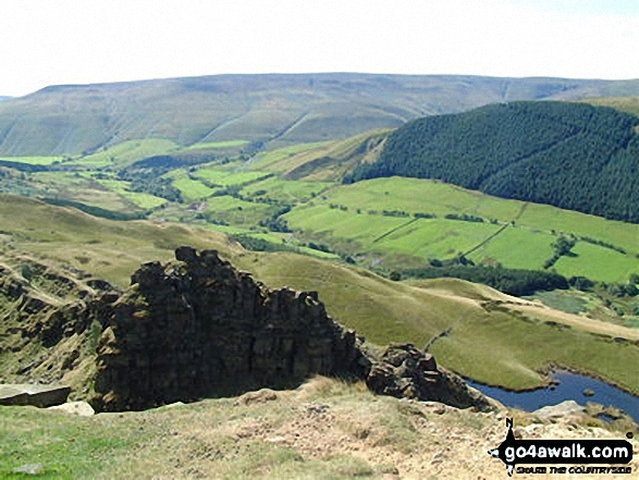
Ladybower Reservoir - Fairholmes Car Park - Lockerbrook Farm - Lockerbrook Heights - Rowlee Pasture - Alport Castles - River Alport - Alport Dale - Alport Farm - Hayridge Farm - Upper Ashop - Blackley Clough - Hagg Farm - Hagg Side - Fairholmes Car Park - Ladybower Reservoir
You can find this walk and other nearby walks on these unique free-to-access Interactive Walk Planning Maps:
1:25,000 scale OS Explorer Map (orange/yellow covers):
1:50,000 scale OS Landranger Map (pink/magenta covers):
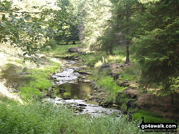
Some Photos and Pictures from Walk d212 Alport Castles from Fairholmes Car Park, Ladybower Reservoir
In no particular order . . .
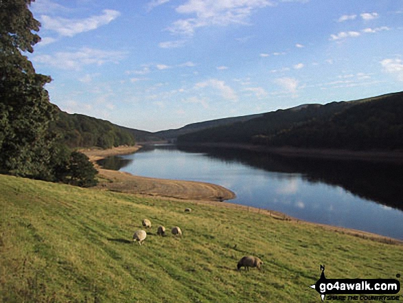
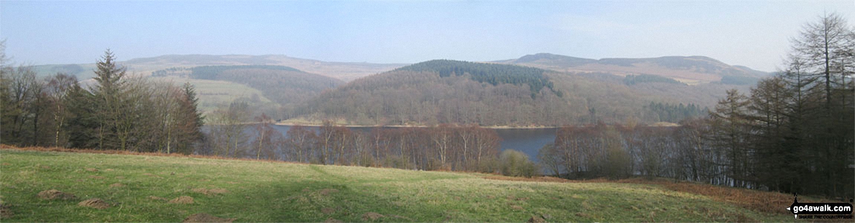
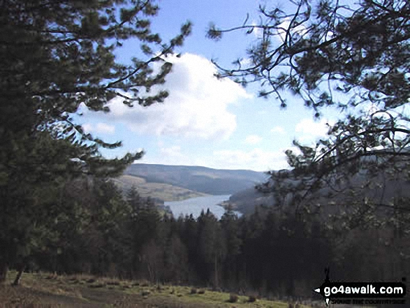
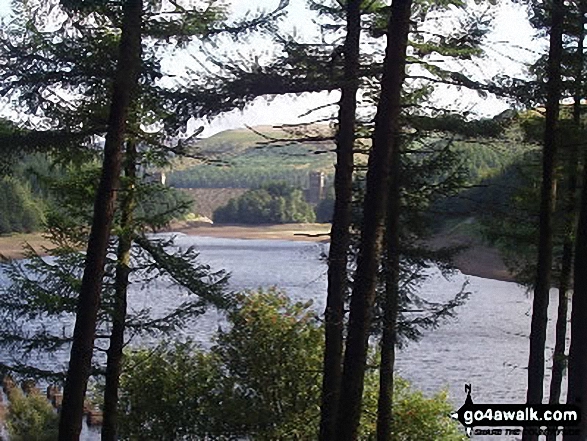
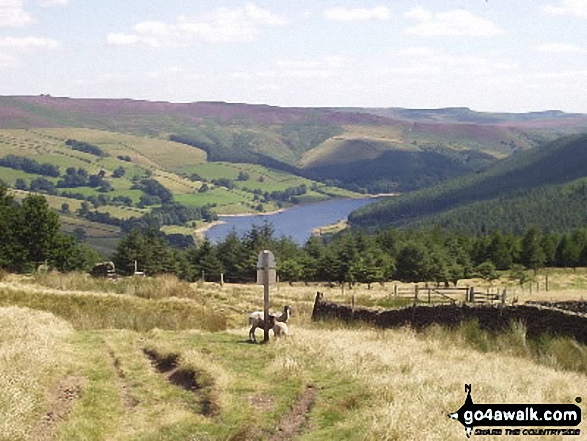
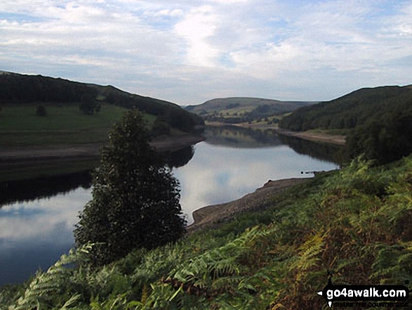
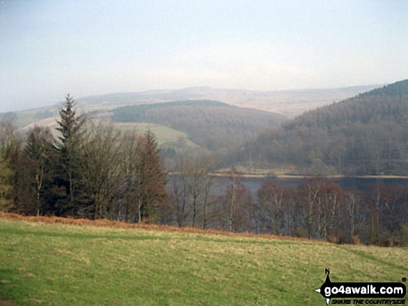
Lost Lad, Back Tor (Derwent Edge), Dovestones Tor, Derwent Edge, White Tor (Derwent Edge), Hurkling Stones and Whinstone Lee Tor above Ladybower Reservoir
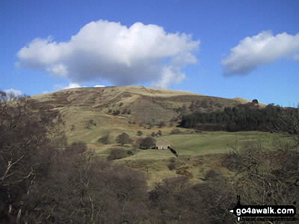
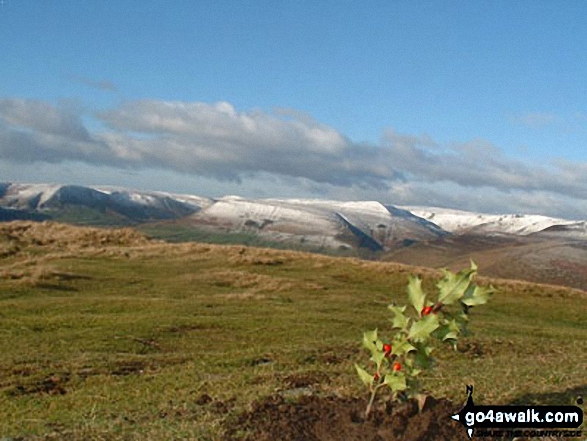
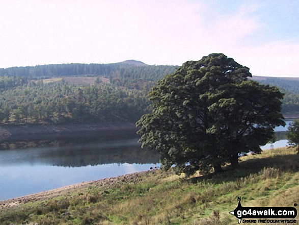
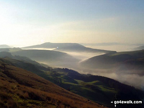
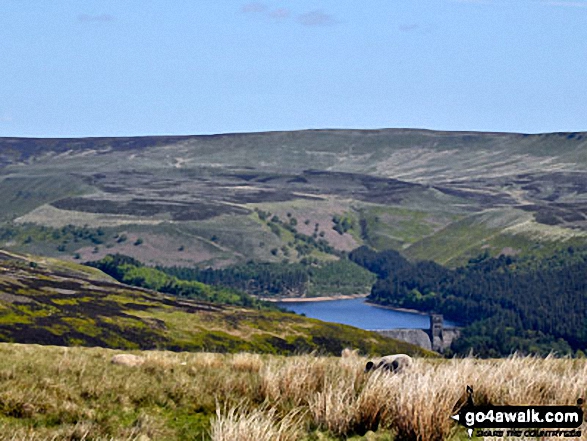
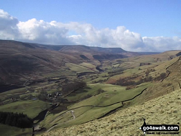
Margery Hill and Howden Moor beyond Howden Reservoir from Lockerbrook Heights
. . . load all 66 walk photos from Walk d212 Alport Castles from Fairholmes Car Park, Ladybower Reservoir
Send us your photographs and pictures from your walks and hikes
We would love to see your photographs and pictures from walk d212 Alport Castles from Fairholmes Car Park, Ladybower Reservoir. Send them in to us as email attachments (configured for any computer) along with your name and where the picture was taken to:
and we shall do our best to publish them.
(Guide Resolution = 300dpi. At least = 660 pixels (wide) x 440 pixels (high).)

You can also submit photos from walk d212 Alport Castles from Fairholmes Car Park, Ladybower Reservoir via our Facebook Page.
NB. Please indicate where each photo was taken.


