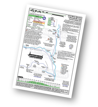
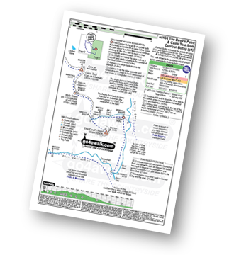
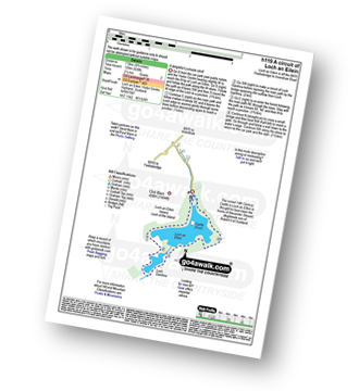
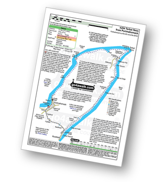
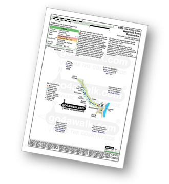
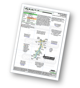
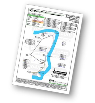
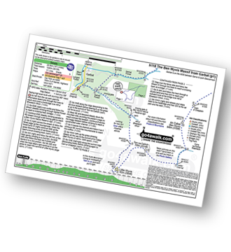
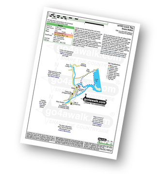
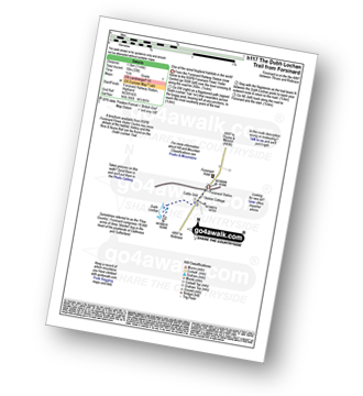
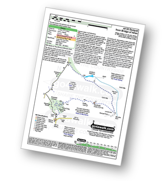
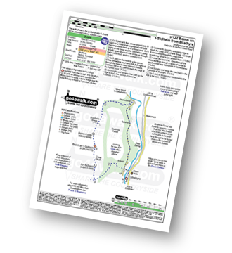
UK Postcode AB51 - The 30 nearest easy-to-follow, circular walk route maps to you
The thirty nearest easy-to-follow, circular walk route maps to you in UK Postcode AB51 in Walk Grade Order
The UK cities, towns and villages in Aberdeenshire, Scotland that have AB51 in their UK Postcode include:
• Auchorrie • Auquhorthies • Badenscoth • Balbithan • Balgove • Balhalgardy • Bankhead • Barthol Chapel • Blackford • Bograxie • Burnhervie • Burnside • Cairnbrogie • Chapel of Garioch • Clovenstone • Comers • Corsindae • Cottown • Craigearn • Cromblet • Cross of Jackson • Dalmadilly • Daviot • Denhead • Denmill • Denmoss • Durno • Earlsford • Fetternear Ho. • Fingask • Fisherford • Folla Rule • Glack • Glenton • Gordonstown • Grantlodge • Hillbrae • Inverurie • Jackstown • Kemnay • Kinmuck • Kintore • Kirkton of Bourtie • Kirktown of Rayne • Lauchintilly • Leschangie • Leylodge • Little Ley • Lyne • Mains of Linton • Meikle Wartle • Mill of Kingoodie • Milton Inveramsay • Monymusk • Mounie Castle • Nether Crimond • Nether Lenshie • Newseat • Oldmeldrum • Ordhead • Overton • Pitcaple • Pitfichie • Pitinnan • Pitmunie • Pittodrie Ho. • Port Elphinstone • Redhill • Rorandle • Rothienorman • Sauchen • Shiels • Silvermoss • South Blackbog • Springleys • St Katherines • Tavelty • Thainstone • The Banking • Tillybirloch • Tillyfourie • Tocher • Todlachie • Tulloch • Wester Fintray • Whitefield • Whiteford • Woodend •
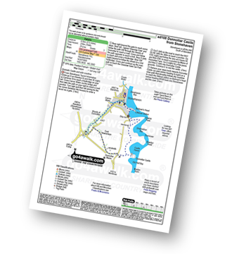
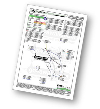
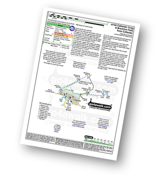
Vital Statistics:
| Length: | 4.75 miles (7.5 km) |
| Ascent: | 784ft (239m) |
| Time: | 2½ hrs |
| Grade: |  |
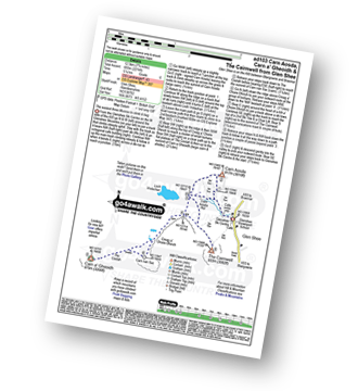
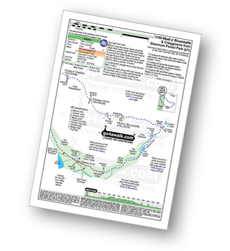
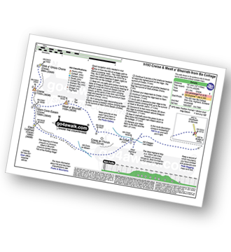
Vital Statistics:
| Length: | 7.75 miles (12.5 km) |
| Ascent: | 2,274ft (693m) |
| Time: | 5.25hrs |
| Grade: |  |
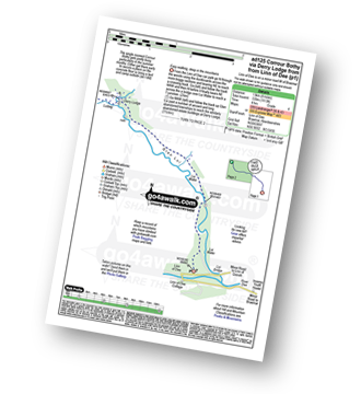
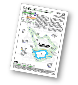
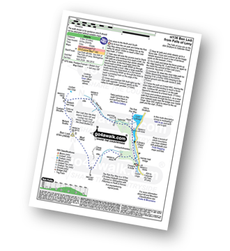
Vital Statistics:
| Length: | 8.25 miles (13 km) |
| Ascent: | 1,113ft (339m) |
| Time: | 4 hrs |
| Grade: |  |
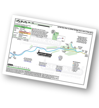
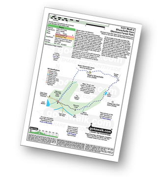
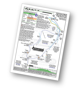
Vital Statistics:
| Length: | 7 miles (11 km) |
| Ascent: | 610ft (186m) |
| Time: | 3.25hrs |
| Grade: |  |
Vital Statistics:
| Length: | 11 miles (17.5 km) |
| Ascent: | 1,159ft (353m) |
| Time: | 5 hrs |
| Grade: |  |
Vital Statistics:
| Length: | 15 miles (24 km) |
| Ascent: | 3,052ft (930m) |
| Time: | 8½ hrs |
| Grade: |  |
Vital Statistics:
| Length: | 8.75 miles (14 km) |
| Ascent: | 3,036ft (925m) |
| Time: | 6.25hrs |
| Grade: |  |
Vital Statistics:
| Length: | 7.25 miles (11.5 km) |
| Ascent: | 2,609ft (795m) |
| Time: | 5.25hrs |
| Grade: |  |
Vital Statistics:
| Length: | 4 miles (6.5 km) |
| Ascent: | 2,104ft (641m) |
| Time: | 3.75hrs |
| Grade: |  |
Vital Statistics:
| Length: | 10 miles (16 km) |
| Ascent: | 2,425ft (739m) |
| Time: | 6 hrs |
| Grade: |  |
Vital Statistics:
| Length: | 8.25 miles (13 km) |
| Ascent: | 745ft (244m) |
| Time: | 3.75hrs |
| Grade: |  |
Vital Statistics:
| Length: | 5.25 miles (8.5 km) |
| Ascent: | 1,666ft (508m) |
| Time: | 3.75hrs |
| Grade: |  |
Vital Statistics:
| Length: | 12.75 miles (20.5 km) |
| Ascent: | 3,243ft (988m) |
| Time: | 8 hrs |
| Grade: |  |
Vital Statistics:
| Length: | 11.5 miles (18.5 km) |
| Ascent: | 4,260ft (1,298m) |
| Time: | 8½ hrs |
| Grade: |  |
Vital Statistics:
| Length: | 4.75 miles (7.5 km) |
| Ascent: | 197ft (60m) |
| Time: | 2 hrs |
| Grade: |  |
Vital Statistics:
| Length: | 8.5 miles (13.5 km) |
| Ascent: | 571ft (174m) |
| Time: | 3.75hrs |
| Grade: |  |
Vital Statistics:
| Length: | 2.5 miles (4 km) |
| Ascent: | 407ft (124m) |
| Time: | 1½ hrs |
| Grade: |  |
Vital Statistics:
| Length: | 2.75 miles (4.5 km) |
| Ascent: | 587ft (179m) |
| Time: | 1.75hrs |
| Grade: |  |
Vital Statistics:
| Length: | 5.5 miles (9 km) |
| Ascent: | 391ft (119m) |
| Time: | 2½ hrs |
| Grade: |  |
Vital Statistics:
| Length: | 16.5 miles (26.5 km) |
| Ascent: | 5,415ft (1,045m) |
| Time: | 11½ hrs |
| Grade: |  |
Vital Statistics:
| Length: | 2.75 miles (4.5 km) |
| Ascent: | 82ft (25m) |
| Time: | 1 hrs |
| Grade: |  |
Vital Statistics:
| Length: | 1 miles (1.5 km) |
| Ascent: | 33ft (10m) |
| Time: | 0½ hrs |
| Grade: |  |
Vital Statistics:
| Length: | 7.25 miles (11.5 km) |
| Ascent: | 1,894ft (577m) |
| Time: | 4½ hrs |
| Grade: |  |
Vital Statistics:
| Length: | 6.25 miles (10 km) |
| Ascent: | 1,848ft (563m) |
| Time: | 4.25hrs |
| Grade: |  |
Vital Statistics:
| Length: | 5.25 miles (8.5 km) |
| Ascent: | 1,165ft (355m) |
| Time: | 3½ hrs |
| Grade: |  |
Vital Statistics:
| Length: | 12.25 miles (19.5 km) |
| Ascent: | 4,322ft (1,317m) |
| Time: | 8.75hrs |
| Grade: |  |
Vital Statistics:
| Length: | 6.25 miles (9.5 km) |
| Ascent: | 2,681ft (817m) |
| Time: | 5 hrs |
| Grade: |  |
Vital Statistics:
| Length: | 10.25 miles (16.5 km) |
| Ascent: | 3,929ft (1,197m) |
| Time: | 7.75hrs |
| Grade: |  |
Vital Statistics:
| Length: | 11.5 miles (18.5 km) |
| Ascent: | 3,919ft (1,194m) |
| Time: | 8½ hrs |
| Grade: |  |
Vital Statistics:
| Length: | 6.5 miles (10.5 km) |
| Ascent: | 2,227ft (679m) |
| Time: | 4½ hrs |
| Grade: |  |


