Peak Bagging the Mountains, Tops, Peaks and Hills in area of The Peak District National Park in England
The Peak District National Park is the area contained within The Peak District National Park boundary. The Peak District National Park covers parts of Cheshire, Derbyshire, Staffordshire, South Yorkshire and West Yorkshire.
For Peak Bagging purposes, The Peak District National Park is divided into two distinct areas:
- The Dark Peak (The Northern Area) and
- The White Peak (The Southern Area)
There are 106 'tops' to walk up, bag and conquer, the highest point is Kinder Scout and the area includes:
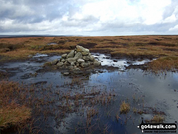 The summit of Kinder Scout, the highest point in area of The Peak District
Photo: Ben Lockett
| 0 | Wainwrights | |
| 2 | Mountains (aka Hewitts) | |
| 20 | Deweys | |
| 3 | Nuttalls | |
| 0 | Wainwright Outlying Fells | |
| 4 | Marilyns | |
| 80 | Hills (aka Bridgets) and | |
| 48 | Mountains, Tops, Peaks or Hills with a Trig Point on or near the top |
View these Mountains, Peaks, Tops and Hills in The Peak District:
- On Two Downloadable PDFs you can print or save to your phone covering:
- On an Interactive Google Map (loads faster)
- On an Interactive Google Map with a list of tops below it.
(makes it easier to locate a particular top) - On a Detailed List in:
Alphabetical Order | Height Order - On one page with 'yet-to-be-bagged' listed 1st & then 'already-bagged' tops listed 2nd in:
Alphabetical Order | Height Order - On one page with 'already-bagged' tops listed 1st & then 'yet-to-be-bagged' tops listed 2nd in:
Alphabetical Order | Height Order


