The North York Moors National Park - a fully detailed list of all the Peaks, Tops and Hills
The North York Moors National Park is located in North Eastern England and wholly within the county of North Yorkshire.
If you include the Marilyns, the Bridgets (Hills) and all the Mountains, Tops, Peaks and Hills with a Trig Point on them there are 9 tops to climb, bag & conquer and the highest point is Urra Moor (Round Hill) at 454m (1,490ft).
To see these Mountains, Peaks, Tops and Hills displayed in different ways - see the options in the left-hand column and towards the bottom of this page.
![]() Your Personal Bagging Record for The North York Moors
Your Personal Bagging Record for The North York Moors
LOG ON and RELOAD this page to show which Mountains, Peaks, Tops and Hills you have already climbed, bagged & conquered [. . . more details]
See this list in: Alphabetical Order‡
| Height Order
To reverse the order select the link again.
Mountain, Peak, Top or Hill:
Bagged

![]()
1. Whorlton Moor (Carlton Bank)
408m (1,339ft)
Whorlton Moor (Carlton Bank) is on interactive maps:
A downloadable go4awalk.com PDF Peak Bagging Map featuring Whorlton Moor (Carlton Bank) will be available soon. |

![]()
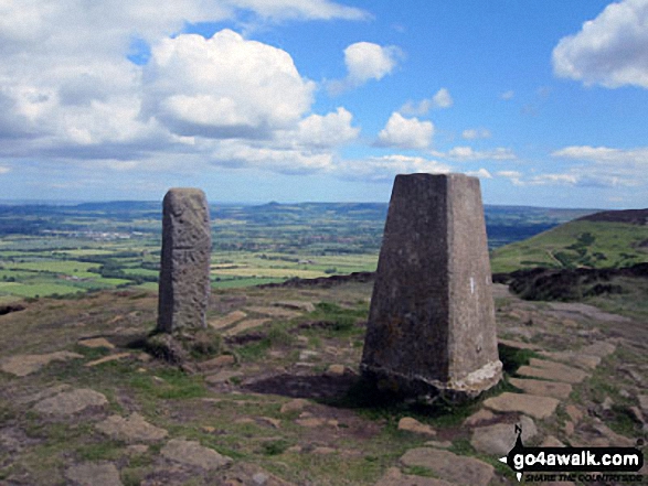
2. Urra Moor (Round Hill)
454m (1,490ft)
Send it in and we'll publish it here.
Urra Moor (Round Hill) is on interactive maps:
A downloadable go4awalk.com PDF Peak Bagging Map featuring Urra Moor (Round Hill) will be available soon. |
![]()
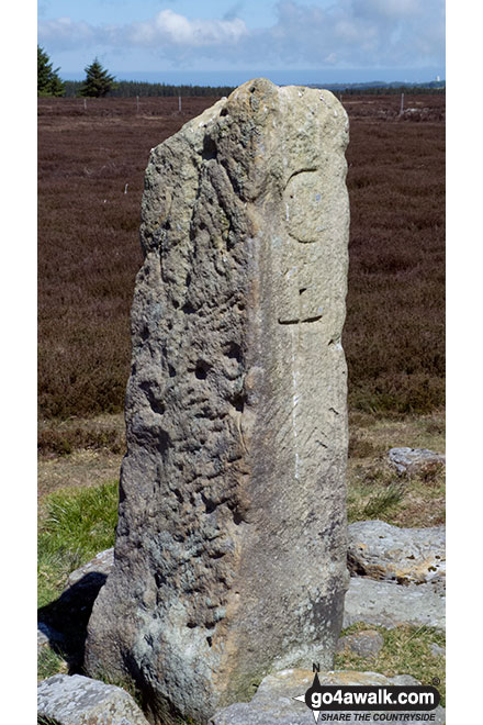
3. Stony Leas (Louven Howe)
299m (981ft)
Stony Leas (Louven Howe) is on interactive maps:
|
![]()
4. Roseberry Topping
320m (1,050ft)
Roseberry Topping is on interactive maps:
A downloadable go4awalk.com PDF Peak Bagging Map featuring Roseberry Topping will be available soon. |

![]()
5. Gisborough Moor
328m (1,076ft)
Gisborough Moor is on interactive maps:
A downloadable go4awalk.com PDF Peak Bagging Map featuring Gisborough Moor will be available soon. |
![]()
6. Cringle Moor (Drake Howe)
434m (1,424ft)
Send it in and we'll publish it here.
Cringle Moor (Drake Howe) is on interactive maps:
A downloadable go4awalk.com PDF Peak Bagging Map featuring Cringle Moor (Drake Howe) will be available soon. |
![]()
7. Brow Moor
266m (873ft)
Brow Moor is on interactive maps:
|
![]()
8. Black Hambleton
400m (1,312ft)
Black Hambleton is on interactive maps:
|

![]()
9. Barns Cliff End
229m (751ft)
Barns Cliff End is on interactive maps:
|
View these 9 tops:
Is there a Mountain, Peak, Top or Hill missing from the above google map or list?
Let us know an we will add it to our database.
To contribute to go4awalk.com or to contact us about anything at all - see Talk To Us.
For help see Help.
go4awalk.com and go4awalk.co.uk are registered trademarks of TMDH Limited.
Copyright © 2000-2026 TMDH Limited. All rights reserved.
Copyright Terms & Conditions Privacy Statement
A - Z Walks Home Log On/Accounts Photo Gallery Walk Ideas and Collections Fell Facts Hill Skills Walking Questions and Answers Your Stories News Competitions Product Reviews/Gear Tests Walking Gear Guides Peaks and Mountains Peak Bagging Find New Walking Friends Camping GPS Waypoints for Walking Contents Walk Search Talk To Us go4awalk.com Help Free Example Walks Newsletter


