All the Mountains, Peaks, Tops and Hills in Scottish Region : on a Google Map
Loch Lomond and The Trossachs National Park is located in Central Scotland, covering parts of Argyll and Bute, Perth and Kinross, Stirlingshire and West Dumbartonshire.
If you include all the Munros, the Corbetts, the Grahams, the Donalds, the Murdos, the Marilyns, the Bridgets (Hills), and all the Mountains, Tops, Peaks and Hills with a Trig Point on them there are 74 tops to climb, bag & conquer and the highest point is Ben More (The Crianlarich Hills) at 1,174m (3,853ft).
To see these Mountains, Peaks, Tops and Hills displayed in different ways - see the options in the left-hand column and towards the bottom of this page.
![]() Your Personal Bagging Record for Loch Lomond and The Trossachs
Your Personal Bagging Record for Loch Lomond and The Trossachs
LOG ON and RELOAD this page to show which Mountains, Peaks, Tops and Hills you have already climbed, bagged & conquered [. . . more details]
NB. If a Google Map does not appear below, or the icons do not respond, click here to refresh the page. If that doesn't work, try deleting your browser's cache.
View these 74 Mountains, Peaks, Tops and Hills:
- On an Interactive Google Map (loads faster)
- On an Interactive Google Map with a list of tops below it.
(makes it easier to locate a particular top) - On a Detailed List in:
Alphabetical Order | Height Order - On one page with 'yet-to-be-bagged' listed 1st & then 'already-bagged' tops listed 2nd in:
Alphabetical Order | Height Order - On one page with 'already-bagged' tops listed 1st & then 'yet-to-be-bagged' tops listed 2nd in:
Alphabetical Order | Height Order
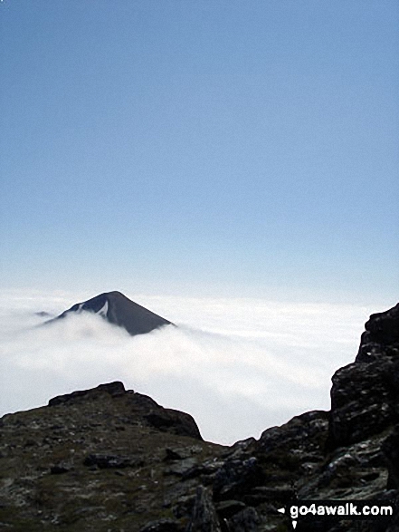 Ben More (The Crianlarich Hills) in Loch Lomond and The Trossachs
Photo: Adam Shewry
Is there a Mountain, Peak, Top or Hill missing from the above google map or list?


