The Mountains, Peaks, Tops and Hills in The Southern Marches area of The Lake District, Cumbria with all the tops you are yet to climb first & then the ones you have already bagged in second.
The Southern Marches area of The Lake District National Park, Cumbria is the area enclosed by:
- The Duddon Esturay to the West
- The River Duddon to Seathwaite (Duddon Valley), the Walna Scar Road to Coniston Village and then the A593 to Ambleside to the North West
- Lake Windermere & the A590 to Morecambe Bay to the East
- Then the Irish Sea to the South
If you include the Marilyns, the Bridgets (Hills) and all the Mountains, Tops, Peaks and Hills with a Trig Point on them there are 12 tops to climb, bag & conquer and the highest point is Caw (Dunnerdale Fells) at 529m (1,736ft).
To see these Mountains, Peaks, Tops and Hills displayed in different ways - see the options in the left-hand column and towards the bottom of this page.
![]() Your Personal Bagging Record for The Southern Marches area of The Lake District
Your Personal Bagging Record for The Southern Marches area of The Lake District
LOG ON and RELOAD this page to show which Mountains, Peaks, Tops and Hills you have already climbed, bagged & conquered [. . . more details]
Scroll down this list of mountains, peaks, tops & hills below and tap/click on each name (in blue) to locate it on the map above.
See this list in: Alphabetical Order | Height Order‡
To reverse the order select the link again.
Top yet to be climbed, bagged & conquered:
Bagged

![]()
1. Caw (Dunnerdale Fells)
529m (1736ft)
Trig Point
See more details, photos, trip reports and easy-to-follow walks up Caw (Dunnerdale Fells)

![]()
2. Top o' Selside
335m (1099ft)
Marilyn
See more details, photos, trip reports and easy-to-follow walks up Top o' Selside
![]()
3. Kirkby Moor (Lowick High Common)
334m (1096ft)
Marilyn
See more details, photos, trip reports and easy-to-follow walks up Kirkby Moor (Lowick High Common)

![]()
4. Gummer's How
321m (1054ft)
Marilyn and Trig Point
See more details, photos, trip reports and easy-to-follow walks up Gummer's How
![]()
5. Carron Crag
314m (1031ft)
Trig Point
See more details, photos, trip reports and easy-to-follow walks up Carron Crag
![]()
6. Great Stickle (Dunnerdale Fells)
305m (1001ft)
Trig Point
See more details, photos, trip reports and easy-to-follow walks up Great Stickle (Dunnerdale Fells)
![]()
7. Burney (Great Burney)
298m (978ft)
Trig Point
See more details, photos, trip reports and easy-to-follow walks up Burney (Great Burney)
![]()
8. Claife Heights (High Blind How)
270m (886ft)
Marilyn and Trig Point
See more details, photos, trip reports and easy-to-follow walks up Claife Heights (High Blind How)

![]()
9. Black Brows
268m (879ft)
Bridget
See more details, photos, trip reports and easy-to-follow walks up Black Brows
![]()
10. Hampsfell
221m (725ft)
Trig Point
See more details, photos, trip reports and easy-to-follow walks up Hampsfell
![]()
11. Brant Fell
191m (626ft)
Trig Point
See more details, photos, trip reports and easy-to-follow walks up Brant Fell
![]()
12. Humphrey Head
53m (173ft)
Trig Point
See more details, photos, trip reports and easy-to-follow walks up Humphrey Head
Mountain, Peak, Top or Hill already bagged:
Bagged
![]() Your Personal Bagging Record for The Southern Marches area of The Lake District
Your Personal Bagging Record for The Southern Marches area of The Lake District
LOG ON and RELOAD this page to show which Mountains, Peaks, Tops and Hills you have already climbed, bagged & conquered [. . . more details]
View these 12 Mountains, Peaks, Tops and Hills:
- On an Interactive Google Map (loads faster)
- On an Interactive Google Map with a list of tops below it.
(makes it easier to locate a particular top) - On a Detailed List in:
Alphabetical Order | Height Order - On one page with 'yet-to-be-bagged' listed 1st & then 'already-bagged' tops listed 2nd in:
Alphabetical Order | Height Order - On one page with 'already-bagged' tops listed 1st & then 'yet-to-be-bagged' tops listed 2nd in:
Alphabetical Order | Height Order
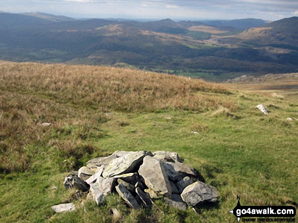 The summit of Walna Scar in The Southern Marches area of The Lake District
Photo: Christine Shepherd
Is there a Mountain, Peak, Top or Hill missing from the above google map or list?


