
![]()
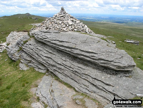
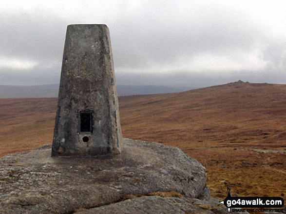
High Willhays
622m (2041ft)
Dartmoor, Devon, England
Not familiar with this top?
You can walk/hike to the top of High Willhays by using any of these 3 easy‑to‑follow route maps:
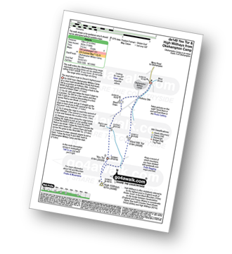
Walk de149 Yes Tor and High Willhays from Okehampton Camp
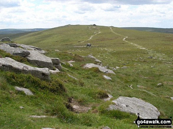
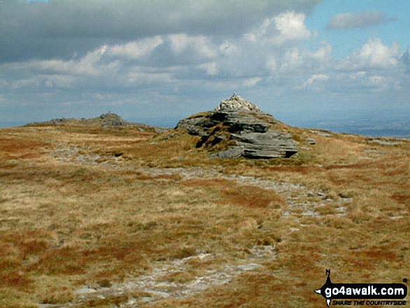
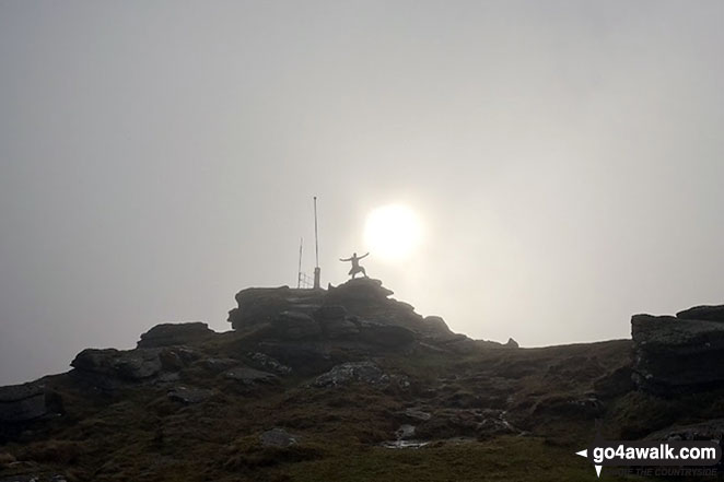
Dartmoor's (& Devon's) highest point
   |
|---|
Vital Statistics:
| Length: | 6ml (9.5km) |
|---|---|
| Ascent: | 1,188ft (362m) |
| Time: | 3½ hrs |
| Grade: |  (Moderate) (Moderate) |
Route Summary:
Okehampton Camp - Anthony Stile - Black Down - Red-a-ven Brook - Okehampton Army Firing Range - Yes Tor - High Willhays - West Mill Tor - Okehampton Camp
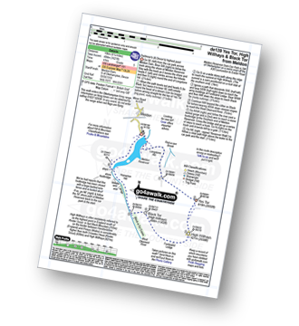
Walk de139 Yes Tor, High Willhays and Black Tor from Meldon Reservoir
Dartmoor's (& Devon's) highest point
|
|---|
Vital Statistics:
| Length: | 6.25ml (10km) |
|---|---|
| Ascent: | 1,621ft (494m) |
| Time: | 4 hrs |
| Grade: |  (Moderate) (Moderate) |
Route Summary:
Meldon Reservoir - Longstone Hill - Okehampton Army Firing Range - Yes Tor - High Willhays - Black Tor - West Okement River - Vellake Weir - Meldon Reservoir
Walk de177 Yes Tor and High Willhays from Meldon Reservoir
Dartmoor's (& Devon's) highest point
|
|---|
Vital Statistics:
| Length: | 9.5ml (15km) |
|---|---|
| Ascent: | 1,687ft (514m) |
| Time: | 5 hrs |
| Grade: |  (Moderate) (Moderate) |

Route Summary:
Meldon Reservoir - Longstone Hill - Yes Tor - High Willhays - Dinger Tor - Brim Beck - Kneeset Nose - Sandy Ford - West Okement River - Black-a-Tor Copse - Vellake Weir - Meldon Reservoir
See High Willhays and the surrounding tops on our free-to-access 'Google Style' Peak Bagging Map:
See High Willhays and the surrounding tops on our unique, downloadable, PDF Peak Bagging Map:

NB: Whether you print off a copy or download it to your phone, this PDF Peak Baggers' Map might prove incredibly useful when your are up there on the tops and you cannot get a phone signal.
You can find High Willhays & all the walks that climb it on these unique free-to-access Interactive Walk Planning Maps:
1:25,000 scale OS Explorer Map (orange/yellow covers):
1:50,000 scale OS Landranger Map (pink/magenta covers):
 Fellow go4awalkers who have already walked, climbed, scaled, summited, hiked & bagged High Willhays
Darren Mortimer walked up High Willhays on August 20th, 2024 [from/via/route] Walked this with Michael,Zoe & grandkids from the army base. Very windy but worth it. [with] Son,Daughter in law and grandkids [weather] Sunny & very windy
hannah1507 climbed it on April 30th, 2023 [from/via/route] From Okehampton [with] Lilly
Glen Hutton bagged it on April 18th, 2023 [weather] Sunny / Windy - Zeke saved my life & charged at a Ram
Caroline Winter hiked High Willhays on May 2nd, 2021 [from/via/route] Meldon CP, reservoir, Yes Tor, High Willhays, Black Tor, river/reservoir [with] Becky [weather] Excellent views. Warm & sunny - First walk away out of lockdown. Tent frozen on awakening, but sunny all day on Dartmoor. Early arrival at CP recommended, as no room on our return from walk. Highlight was the wild ponies & foals, which were within touching distance. Pleasant & not a challenging walk. Can extend distance by walking to viaduct
Kevin Foster summited on August 16th, 2020 [from/via/route] Yes Tor. [with] By myself. [weather] Cloudy light rain but clearing later in the afternoon - Not much to this one & only marginally higher than Yes Tor but still Devon's highest top & all that. Views were good to the south & west across the wilderness of Dartmoor. Highlight was the descent on the approach to Black Tor came across some wild Dartmoor ponies. They even posed to have their photo taken.
To add (or remove) your name and experiences on this page - Log On and edit your Personal Mountain Bagging Record
. . . [see more walk reports]
More Photographs & Pictures of views from, on, or of, High Willhays
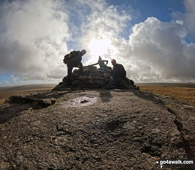


Send us your photographs and pictures on, of, or from High Willhays
If you would like to add your walk photographs and pictures to this page, please send them as email attachments (configured for any computer) along with your name to:
and we shall do our best to publish them.
(Guide Resolution = 300dpi. At least = 660pixels (wide) x 440 pixels (high).)

You can also submit photos via our Facebook Page.
NB. Please indicate where each photo was taken and whether you wish us to credit your photos with a Username or your First Name/Last Name.


