The Cairngorms National Park - a fully detailed list of all the Mountains, Peaks, Tops and Hills (Page of 2)
The Cairngorms National Park is located in North East Scotland covering parts of Aberdeenshire, Moray, Highland, Angus and Perth and Kinross.
If you count only the Munros there are 51 tops to climb, bag & conquer and the highest point is Ben Macdui (Beinn MacDuibh) at 1,309m (4,296ft).
To see these Mountains, Peaks, Tops and Hills displayed in different ways - see the options in the left-hand column and towards the bottom of this page.
![]() Your Personal Bagging Record for The Cairngorms
Your Personal Bagging Record for The Cairngorms
LOG ON and RELOAD this page to show which Mountains, Peaks, Tops and Hills you have already climbed, bagged & conquered [. . . more details]
Page 1 of 2 Go to page: 1 2 |
See this list in: Alphabetical Order‡
| Height Order
To reverse the order select the link again.
Mountain, Peak, Top or Hill:
Bagged

![]()
1. Tom Buidhe
957m (3,141ft)
Tom Buidhe is on interactive maps:
A downloadable go4awalk.com PDF Peak Bagging Map featuring Tom Buidhe will be available soon. |
![]()
2. Tolmount
958m (3,144ft)
Tolmount is on interactive maps:
A downloadable go4awalk.com PDF Peak Bagging Map featuring Tolmount will be available soon. |
![]()
3. The Devil's Point
1,004m (3,295ft)
The Devil's Point is on interactive maps:
A downloadable go4awalk.com PDF Peak Bagging Map featuring The Devil's Point will be available soon. |
![]()
4. The Cairnwell
933m (3,062ft)
The Cairnwell is on interactive maps:
A downloadable go4awalk.com PDF Peak Bagging Map featuring The Cairnwell will be available soon. |
![]()
5. Sgor Gaoith
1,118m (3,669ft)
Sgor Gaoith is on interactive maps:
A downloadable go4awalk.com PDF Peak Bagging Map featuring Sgor Gaoith will be available soon. |
![]()
6. Sgor an Lochain Uaine (The Angel's Peak)
1,258m (4,129ft)
Sgor an Lochain Uaine (The Angel's Peak) is on interactive maps:
A downloadable go4awalk.com PDF Peak Bagging Map featuring Sgor an Lochain Uaine (The Angel's Peak) will be available soon. |
![]()
7. Mullach Clach a' Bhlair
1,019m (3,344ft)
Send it in and we'll publish it here.
Mullach Clach a' Bhlair is on interactive maps:
A downloadable go4awalk.com PDF Peak Bagging Map featuring Mullach Clach a' Bhlair will be available soon. |
![]()
8. Mount Keen
939m (3,082ft)
Mount Keen is on interactive maps:
A downloadable go4awalk.com PDF Peak Bagging Map featuring Mount Keen will be available soon. |
![]()
9. Monadh Mor
1,113m (3,653ft)
Monadh Mor is on interactive maps:
A downloadable go4awalk.com PDF Peak Bagging Map featuring Monadh Mor will be available soon. |
![]()
10. Mayar
928m (3,046ft)
Mayar is on interactive maps:
A downloadable go4awalk.com PDF Peak Bagging Map featuring Mayar will be available soon. |
![]()
11. Lochnagar (Cac Carn Beag)
1,155m (3,791ft)
Lochnagar (Cac Carn Beag) is on interactive maps:
A downloadable go4awalk.com PDF Peak Bagging Map featuring Lochnagar (Cac Carn Beag) will be available soon. |
![]()
12. Glas Tulaichean
1,051m (3,449ft)
Glas Tulaichean is on interactive maps:
A downloadable go4awalk.com PDF Peak Bagging Map featuring Glas Tulaichean will be available soon. |
![]()
13. Glas Maol
1,068m (3,505ft)
Glas Maol is on interactive maps:
A downloadable go4awalk.com PDF Peak Bagging Map featuring Glas Maol will be available soon. |
![]()
14. Geal Charn (Glen Markie)
926m (3,039ft)
Send it in and we'll publish it here.
Geal Charn (Glen Markie) is on interactive maps:
A downloadable go4awalk.com PDF Peak Bagging Map featuring Geal Charn (Glen Markie) will be available soon. |
![]()
15. Driesh
947m (3,108ft)
Driesh is on interactive maps:
A downloadable go4awalk.com PDF Peak Bagging Map featuring Driesh will be available soon. |
![]()
16. Derry Cairngorm
1,155m (3,791ft)
Derry Cairngorm is on interactive maps:
A downloadable go4awalk.com PDF Peak Bagging Map featuring Derry Cairngorm will be available soon. |
![]()
17. Creag Leacach
987m (3,239ft)
Creag Leacach is on interactive maps:
A downloadable go4awalk.com PDF Peak Bagging Map featuring Creag Leacach will be available soon. |
![]()
18. Carn Sgulain
920m (3,019ft)
Carn Sgulain is on interactive maps:
A downloadable go4awalk.com PDF Peak Bagging Map featuring Carn Sgulain will be available soon. |
![]()
19. Carn Liath (Glen Tilt)
975m (3,200ft)
Send it in and we'll publish it here.
Carn Liath (Glen Tilt) is on interactive maps:
A downloadable go4awalk.com PDF Peak Bagging Map featuring Carn Liath (Glen Tilt) will be available soon. |
![]()
20. Carn Dearg (Monadhliath Mountains)
946m (3,104ft)
Carn Dearg (Monadhliath Mountains) is on interactive maps:
A downloadable go4awalk.com PDF Peak Bagging Map featuring Carn Dearg (Monadhliath Mountains) will be available soon. |
![]()
21. Carn Bhac
946m (3,105ft)
Carn Bhac is on interactive maps:
A downloadable go4awalk.com PDF Peak Bagging Map featuring Carn Bhac will be available soon. |
![]()
22. Carn Aosda
917m (3,010ft)
Carn Aosda is on interactive maps:
A downloadable go4awalk.com PDF Peak Bagging Map featuring Carn Aosda will be available soon. |
![]()
23. Carn an Tuirc
1,019m (3,344ft)
Carn an Tuirc is on interactive maps:
A downloadable go4awalk.com PDF Peak Bagging Map featuring Carn an Tuirc will be available soon. |
![]()
24. Carn an t-Sagairt Mor
1,047m (3,436ft)
Send it in and we'll publish it here.
Carn an t-Sagairt Mor is on interactive maps:
A downloadable go4awalk.com PDF Peak Bagging Map featuring Carn an t-Sagairt Mor will be available soon. |
![]()
25. Carn an Righ
1,029m (3,377ft)
Carn an Righ is on interactive maps:
A downloadable go4awalk.com PDF Peak Bagging Map featuring Carn an Righ will be available soon. |
![]()
26. Carn an Fhidhleir (Carn Ealar)
994m (3,262ft)
Send it in and we'll publish it here.
Carn an Fhidhleir (Carn Ealar) is on interactive maps:
A downloadable go4awalk.com PDF Peak Bagging Map featuring Carn an Fhidhleir (Carn Ealar) will be available soon. |
![]()
27. Carn a' Mhaim
1,037m (3,403ft)
Carn a' Mhaim is on interactive maps:
A downloadable go4awalk.com PDF Peak Bagging Map featuring Carn a' Mhaim will be available soon. |
![]()
28. Carn a' Gheoidh
975m (3,200ft)
Carn a' Gheoidh is on interactive maps:
A downloadable go4awalk.com PDF Peak Bagging Map featuring Carn a' Gheoidh will be available soon. |
![]()
29. Carn a' Choire Boidheach
1,110m (3,643ft)
Send it in and we'll publish it here.
Carn a' Choire Boidheach is on interactive maps:
A downloadable go4awalk.com PDF Peak Bagging Map featuring Carn a' Choire Boidheach will be available soon. |
![]()
30. Carn a' Chlamain
963m (3,161ft)
Carn a' Chlamain is on interactive maps:
A downloadable go4awalk.com PDF Peak Bagging Map featuring Carn a' Chlamain will be available soon. |
Page 1 of 2 Go to page: 1 2 |
View these 51 Mountains, Peaks, Tops and Hills:
- On an Interactive Google Map (loads faster)
- On an Interactive Google Map with a list of tops below it.
(makes it easier to locate a particular top) - On a Detailed List in:
Alphabetical Order | Height Order - On one page with 'yet-to-be-bagged' listed 1st & then 'already-bagged' tops listed 2nd in:
Alphabetical Order | Height Order - On one page with 'already-bagged' tops listed 1st & then 'yet-to-be-bagged' tops listed 2nd in:
Alphabetical Order | Height Order
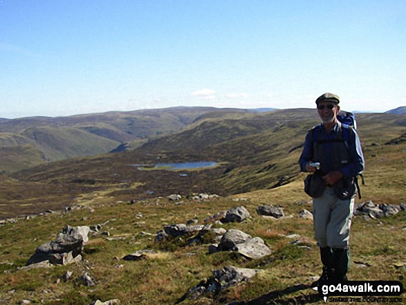
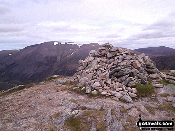
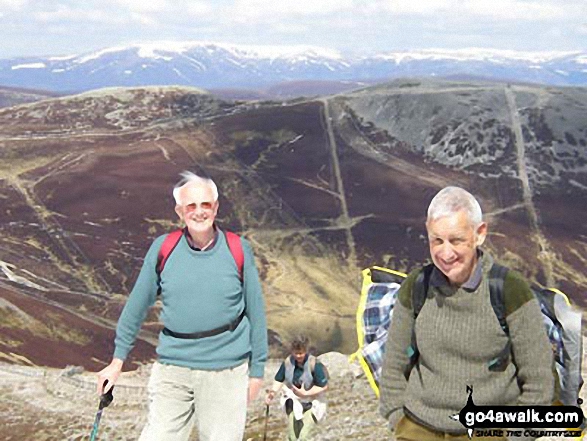
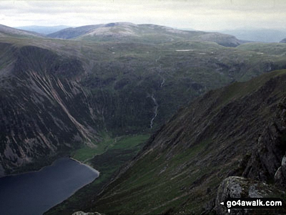
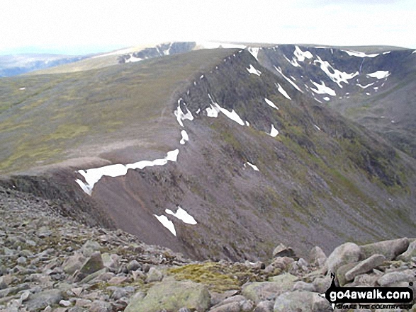
 Ben Macdui (Beinn MacDuibh) in The West Mounth - Blair Atholl to Braemar and Blairgowrie
Photo: John Gell
Is there a Mountain, Peak, Top or Hill missing from the above google map or list?
Let us know an we will add it to our database.

To contribute to go4awalk.com or to contact us about anything at all - see Talk To Us.
For help see Help.
go4awalk.com and go4awalk.co.uk are registered trademarks of TMDH Limited.
Copyright © 2000-2026 TMDH Limited. All rights reserved.
Copyright Terms & Conditions Privacy Statement
A - Z Walks Home Log On/Accounts Photo Gallery Walk Ideas and Collections Fell Facts Hill Skills Walking Questions and Answers Your Stories News Competitions Product Reviews/Gear Tests Walking Gear Guides Peaks and Mountains Peak Bagging Find New Walking Friends Camping GPS Waypoints for Walking Contents Walk Search Talk To Us go4awalk.com Help Free Example Walks Newsletter


