Wales - a fully detailed list of all the Mountains, Peaks, Tops and Hills (Page of 9)
Wales is defined as the whole of the principality of Wales which includes the National Parks of Snowdonia, Bannau Brycheiniog (The Brecon Beacons) and The Pembrokeshire Coast as well as Mynyddoedd Cambria (The Cambrian Mountains), Radnor Forest, Anglesey, The Llynn Peninsula, The Preseli Mountains and The Gower Peninsula.
If you count only the Deweys there are 241 tops to climb, bag & conquer and the highest point is Craig Fach at 609m (1,999ft).
To see these Mountains, Peaks, Tops and Hills displayed in different ways - see the options in the left-hand column and towards the bottom of this page.
![]() Your Personal Bagging Record for Wales
Your Personal Bagging Record for Wales
LOG ON and RELOAD this page to show which Mountains, Peaks, Tops and Hills you have already climbed, bagged & conquered [. . . more details]
See this list in: Alphabetical Order
| Height Order‡
To reverse the order select the link again.
Mountain, Peak, Top or Hill:
Bagged

![]()
1. Craig Fach
609m (1,999ft)
Craig Fach is on interactive maps:
Craig Fach is on downloadable PDF you can Print or Save to your Phone: |
![]()
2. Mynydd Troed
609m (1,999ft)
Mynydd Troed is on interactive maps:
Mynydd Troed is on downloadable PDF you can Print or Save to your Phone: |
![]()
3. Glan Hafon (Y Garn)
608m (1,995ft)
Glan Hafon (Y Garn) is on interactive maps:
Glan Hafon (Y Garn) is on downloadable PDF you can Print or Save to your Phone: |
![]()
4. Moel Meirch
607m (1,992ft)
Moel Meirch is on interactive maps:
Moel Meirch is on downloadable PDF you can Print or Save to your Phone: |
![]()
5. Foel Tyn-y-fron (Moel y Pawl)
606m (1,988ft)
Send it in and we'll publish it here.
Foel Tyn-y-fron (Moel y Pawl) is on interactive maps:
Foel Tyn-y-fron (Moel y Pawl) is on downloadable PDF you can Print or Save to your Phone: |
![]()
6. Craig Portas
605m (1,985ft)
Craig Portas is on interactive maps:
Craig Portas is on downloadable PDF you can Print or Save to your Phone: |
![]()
7. Foel Goch (Snowdon)
605m (1,985ft)
Foel Goch (Snowdon) is on interactive maps:
Foel Goch (Snowdon) is on downloadable PDF you can Print or Save to your Phone: |
![]()
8. Cefn Perfedd (Pen y Lladron)
604m (1,982ft)
Send it in and we'll publish it here.
Cefn Perfedd (Pen y Lladron) is on interactive maps:
Cefn Perfedd (Pen y Lladron) is on downloadable PDF you can Print or Save to your Phone: |
![]()
9. Y Gamriw
604m (1,982ft)
Y Gamriw is on interactive maps:
Y Gamriw is on downloadable PDF you can Print or Save to your Phone: |
![]()
10. Yr Allt (Forest Fawr)
604m (1,982ft)
Yr Allt (Forest Fawr) is on interactive maps:
Yr Allt (Forest Fawr) is on downloadable PDF you can Print or Save to your Phone: |
![]()
11. Foel Lwyd
603m (1,979ft)
Foel Lwyd is on interactive maps:
Foel Lwyd is on downloadable PDF you can Print or Save to your Phone: |
![]()
12. Foel Fraith
602m (1,975ft)
Foel Fraith is on interactive maps:
Foel Fraith is on downloadable PDF you can Print or Save to your Phone: |
![]()
13. Y Gribin (Arans)
602m (1,975ft)
Y Gribin (Arans) is on interactive maps:
Y Gribin (Arans) is on downloadable PDF you can Print or Save to your Phone: |
![]()
14. Craig y Llyn
600m (1,969ft)
Craig y Llyn is on interactive maps:
A downloadable go4awalk.com PDF Peak Bagging Map featuring Craig y Llyn will be available soon. |
![]()
15. Whimble
599m (1,965ft)
Whimble is on interactive maps:
A downloadable go4awalk.com PDF Peak Bagging Map featuring Whimble will be available soon. |
![]()
16. Moel Llygoed (Cerreg y Big)
598m (1,962ft)
Send it in and we'll publish it here.
Moel Llygoed (Cerreg y Big) is on interactive maps:
Moel Llygoed (Cerreg y Big) is on downloadable PDF you can Print or Save to your Phone: |
![]()
17. Mynydd Braich-goch
597m (1,959ft)
Mynydd Braich-goch is on interactive maps:
Mynydd Braich-goch is on downloadable PDF you can Print or Save to your Phone: |
![]()
18. Craig Ddrwg
596m (1,956ft)
Craig Ddrwg is on interactive maps:
Craig Ddrwg is on downloadable PDF you can Print or Save to your Phone: |
![]()
19. Foel-boeth (Llyn Celyn)
596m (1,956ft)
Foel-boeth (Llyn Celyn) is on interactive maps:
Foel-boeth (Llyn Celyn) is on downloadable PDF you can Print or Save to your Phone: |
![]()
20. Sugar Loaf (Y Fal)
596m (1,956ft)
Sugar Loaf (Y Fal) is on interactive maps:
Sugar Loaf (Y Fal) is on downloadable PDF you can Print or Save to your Phone: |
![]()
21. Clip (Rhinogs)
594m (1,950ft)
Clip (Rhinogs) is on interactive maps:
Clip (Rhinogs) is on downloadable PDF you can Print or Save to your Phone: |
![]()
22. Cefn Coch (Berwyns)
594m (1,949ft)
Send it in and we'll publish it here.
Cefn Coch (Berwyns) is on interactive maps:
Cefn Coch (Berwyns) is on downloadable PDF you can Print or Save to your Phone: |
![]()
23. Llan Ddu Fawr (Waun Claerddu)
594m (1,949ft)
Send it in and we'll publish it here.
Llan Ddu Fawr (Waun Claerddu) is on interactive maps:
A downloadable go4awalk.com PDF Peak Bagging Map featuring Llan Ddu Fawr (Waun Claerddu) will be available soon. |
![]()
24. Y Ro Wen
594m (1,949ft)
Y Ro Wen is on interactive maps:
Y Ro Wen is on downloadable PDF you can Print or Save to your Phone: |
![]()
25. Cerrig Coediog
593m (1,946ft)
Cerrig Coediog is on interactive maps:
Cerrig Coediog is on downloadable PDF you can Print or Save to your Phone: |
![]()
26. Carnedd y Cribau
591m (1,940ft)
Carnedd y Cribau is on interactive maps:
Carnedd y Cribau is on downloadable PDF you can Print or Save to your Phone: |
![]()
27. Moel Feity
591m (1,939ft)
Moel Feity is on interactive maps:
Moel Feity is on downloadable PDF you can Print or Save to your Phone: |
![]()
28. Foel Figenau
590m (1,936ft)
Foel Figenau is on interactive maps:
Foel Figenau is on downloadable PDF you can Print or Save to your Phone: |
![]()
29. Craig y Grut (Llawlech)
589m (1,933ft)
Send it in and we'll publish it here.
Craig y Grut (Llawlech) is on interactive maps:
Craig y Grut (Llawlech) is on downloadable PDF you can Print or Save to your Phone: |
![]()
30. Moelfre (Rhinogs)
589m (1,933ft)
Moelfre (Rhinogs) is on interactive maps:
Moelfre (Rhinogs) is on downloadable PDF you can Print or Save to your Phone: |
View these 241 Mountains, Peaks, Tops and Hills:
- On an Interactive Google Map (loads faster)
- On an Interactive Google Map with a list of tops below it.
(makes it easier to locate a particular top) - On a Detailed List in:
Alphabetical Order | Height Order - On one page with 'yet-to-be-bagged' listed 1st & then 'already-bagged' tops listed 2nd in:
Alphabetical Order | Height Order - On one page with 'already-bagged' tops listed 1st & then 'yet-to-be-bagged' tops listed 2nd in:
Alphabetical Order | Height Order
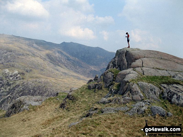
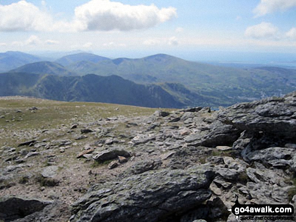
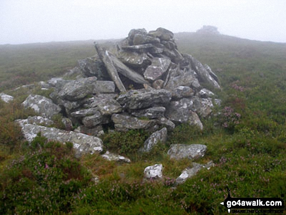
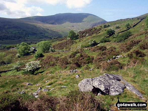
 Snowdon (Yr Wyddfa) in The RhinogsWales
Photo: Don Williams
Is there a Mountain, Peak, Top or Hill missing from the above google map or list?
Let us know an we will add it to our database.

To contribute to go4awalk.com or to contact us about anything at all - see Talk To Us.
For help see Help.
go4awalk.com and go4awalk.co.uk are registered trademarks of TMDH Limited.
Copyright © 2000-2026 TMDH Limited. All rights reserved.
Copyright Terms & Conditions Privacy Statement
A - Z Walks Home Log On/Accounts Photo Gallery Walk Ideas and Collections Fell Facts Hill Skills Walking Questions and Answers Your Stories News Competitions Product Reviews/Gear Tests Walking Gear Guides Peaks and Mountains Peak Bagging Find New Walking Friends Camping GPS Waypoints for Walking Contents Walk Search Talk To Us go4awalk.com Help Free Example Walks Newsletter


