England - a fully detailed list of all the Mountains, Peaks, Tops and Hills (Page of 6)
England is defined as the whole of the country of England which includes the National Parks of Dartmoor, Exmoor, The Lake District, The Peak District, The North York Moors, Northumberland, The South Downs and The Yorkshire Dales, as well as The Chilterns, The Cotswolds, The Forest of Bowland, The North Peninnes, The Shropshire Hills and The South Peninnes.
If you count only the Deweys there are 180 tops to climb, bag & conquer and the highest point is Sugar Loaf (Horse Head Moor) at 609m (1,999ft).
To see these Mountains, Peaks, Tops and Hills displayed in different ways - see the options in the left-hand column and towards the bottom of this page.
![]() Your Personal Bagging Record for England
Your Personal Bagging Record for England
LOG ON and RELOAD this page to show which Mountains, Peaks, Tops and Hills you have already climbed, bagged & conquered [. . . more details]
See this list in: Alphabetical Order‡
| Height Order
To reverse the order select the link again.
Mountain, Peak, Top or Hill:
Bagged

![]()
1. Yarnspath Law
543m (1,782ft)
Yarnspath Law is on interactive maps:
A downloadable go4awalk.com PDF Peak Bagging Map featuring Yarnspath Law will be available soon. |
![]()
2. Wool Meath
552m (1,811ft)
Wool Meath is on interactive maps:
A downloadable go4awalk.com PDF Peak Bagging Map featuring Wool Meath will be available soon. |
![]()
3. Wolfhole Crag
528m (1,733ft)
Wolfhole Crag is on interactive maps:
Wolfhole Crag is on downloadable PDF you can Print or Save to your Phone: |
![]()
4. Woldside
596m (1,956ft)
Woldside is on interactive maps:
Woldside is on downloadable PDF you can Print or Save to your Phone: |
![]()
5. Wold Fell (Wold Fell Top)
558m (1,831ft)
Wold Fell (Wold Fell Top) is on interactive maps:
Wold Fell (Wold Fell Top) is on downloadable PDF you can Print or Save to your Phone: |
![]()
6. Whitfell (Whit Fell)
573m (1,880ft)
Whitfell (Whit Fell) is on interactive maps:
A downloadable go4awalk.com PDF Peak Bagging Map featuring Whitfell (Whit Fell) will be available soon. |
![]()
7. White Ridge
506m (1,660ft)
White Ridge is on interactive maps:
White Ridge is on downloadable PDF you can Print or Save to your Phone: |
![]()
8. White Howe (Bannisdale)
530m (1,739ft)
White Howe (Bannisdale) is on interactive maps:
A downloadable go4awalk.com PDF Peak Bagging Map featuring White Howe (Bannisdale) will be available soon. |
![]()
9. White Hill (Forest of Bowland)
544m (1,785ft)
White Hill (Forest of Bowland) is on interactive maps:
White Hill (Forest of Bowland) is on downloadable PDF you can Print or Save to your Phone: |
![]()
10. Whinlatter (Whinlatter Top)
525m (1,723ft)
Whinlatter (Whinlatter Top) is on interactive maps:
Whinlatter (Whinlatter Top) is on downloadable PDF you can Print or Save to your Phone: *Version including the walk routes marked on it that you need to follow to Walk all 214 Wainwrights in just 59 walks. |
![]()
11. Whin Rigg
535m (1,756ft)
Whin Rigg is on interactive maps:
Whin Rigg is on downloadable PDF you can Print or Save to your Phone: *Version including the walk routes marked on it that you need to follow to Walk all 214 Wainwrights in just 59 walks. |
![]()
12. Whetstone Ridge
547m (1,795ft)
Whetstone Ridge is on interactive maps:
Whetstone Ridge is on downloadable PDF you can Print or Save to your Phone: |
![]()
13. Wether Cairn (Wholhope Hill)
563m (1,847ft)
Send it in and we'll publish it here.
Wether Cairn (Wholhope Hill) is on interactive maps:
A downloadable go4awalk.com PDF Peak Bagging Map featuring Wether Cairn (Wholhope Hill) will be available soon. |
![]()
14. West Nab
500m (1,641ft)
West Nab is on interactive maps:
West Nab is on downloadable PDF you can Print or Save to your Phone: |
![]()
15. West Fell
542m (1,779ft)
West Fell is on interactive maps:
West Fell is on downloadable PDF you can Print or Save to your Phone: |
![]()
16. Ullister Hill
525m (1,723ft)
Ullister Hill is on interactive maps:
Ullister Hill is on downloadable PDF you can Print or Save to your Phone: *Version including the walk routes marked on it that you need to follow to Walk all 214 Wainwrights in just 59 walks. |
![]()
17. Uldale Head (Howgills)
532m (1,746ft)
Uldale Head (Howgills) is on interactive maps:
Uldale Head (Howgills) is on downloadable PDF you can Print or Save to your Phone: |
![]()
18. Titterstone Clee Hill
533m (1,749ft)
Titterstone Clee Hill is on interactive maps:
Titterstone Clee Hill is on downloadable PDF you can Print or Save to your Phone: |
![]()
19. Thirl Moor
558m (1,831ft)
Thirl Moor is on interactive maps:
A downloadable go4awalk.com PDF Peak Bagging Map featuring Thirl Moor will be available soon. |
![]()
20. The Schil
601m (1,972ft)
The Schil is on interactive maps:
A downloadable go4awalk.com PDF Peak Bagging Map featuring The Schil will be available soon. |
![]()
21. The Roaches
505m (1,657ft)
The Roaches is on interactive maps:
The Roaches is on downloadable PDF you can Print or Save to your Phone: |
![]()
22. The Nab (Martindale)
576m (1,890ft)
The Nab (Martindale) is on interactive maps:
The Nab (Martindale) is on downloadable PDF you can Print or Save to your Phone: *Version including the walk routes marked on it that you need to follow to Walk all 214 Wainwrights in just 59 walks. |
![]()
23. The Forest (Bannisdale)
528m (1,732ft)
The Forest (Bannisdale) is on interactive maps:
A downloadable go4awalk.com PDF Peak Bagging Map featuring The Forest (Bannisdale) will be available soon. |
![]()
24. The Fleak (Conny Tammy Currack)
551m (1,808ft)
Send it in and we'll publish it here.
The Fleak (Conny Tammy Currack) is on interactive maps:
The Fleak (Conny Tammy Currack) is on downloadable PDF you can Print or Save to your Phone: |
![]()
25. Sugar Loaf (Horse Head Moor)
609m (1,999ft)
Sugar Loaf (Horse Head Moor) is on interactive maps:
Sugar Loaf (Horse Head Moor) is on downloadable PDF you can Print or Save to your Phone: |
![]()
26. Stiperstones (Manstone Rock)
536m (1,759ft)
Stiperstones (Manstone Rock) is on interactive maps:
Stiperstones (Manstone Rock) is on downloadable PDF you can Print or Save to your Phone: |
![]()
27. Steeperton Tor
532m (1,746ft)
Steeperton Tor is on interactive maps:
Steeperton Tor is on downloadable PDF you can Print or Save to your Phone: |
![]()
28. Steel Fell (Dead Pike)
553m (1,815ft)
Steel Fell (Dead Pike) is on interactive maps:
Steel Fell (Dead Pike) is on downloadable PDF you can Print or Save to your Phone: *Version including the walk routes marked on it that you need to follow to Walk all 214 Wainwrights in just 59 walks. |
![]()
29. St Raven's Edge
593m (1,946ft)
St Raven's Edge is on interactive maps:
St Raven's Edge is on downloadable PDF you can Print or Save to your Phone: *Version including the walk routes marked on it that you need to follow to Walk all 214 Wainwrights in just 59 walks. |
![]()
30. Souther Fell
522m (1,713ft)
Souther Fell is on interactive maps:
Souther Fell is on downloadable PDF you can Print or Save to your Phone: *Version including the walk routes marked on it that you need to follow to Walk all 214 Wainwrights in just 59 walks. |
View these 180 Mountains, Peaks, Tops and Hills:
- On an Interactive Google Map (loads faster)
- On an Interactive Google Map with a list of tops below it.
(makes it easier to locate a particular top) - On a Detailed List in:
Alphabetical Order | Height Order - On one page with 'yet-to-be-bagged' listed 1st & then 'already-bagged' tops listed 2nd in:
Alphabetical Order | Height Order - On one page with 'already-bagged' tops listed 1st & then 'yet-to-be-bagged' tops listed 2nd in:
Alphabetical Order | Height Order
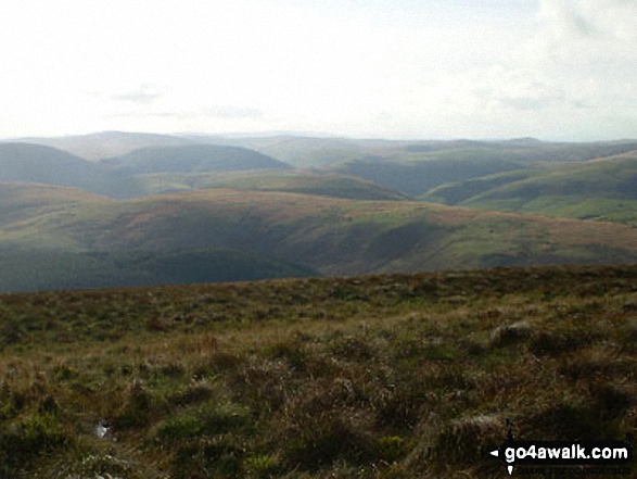
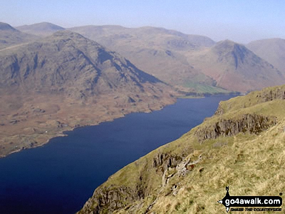
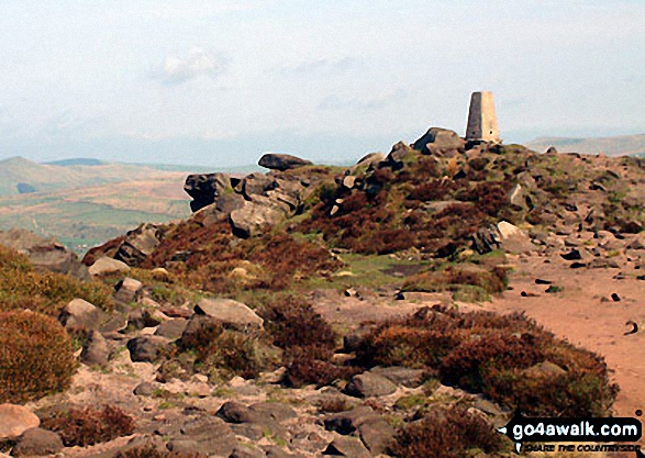
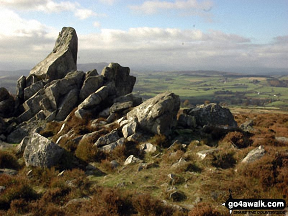
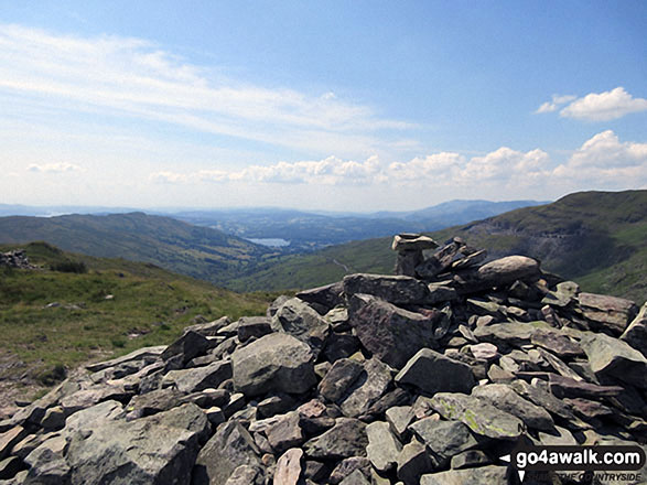
 The view from Scafell Pike in England
Photo: David Cochrane
Is there a Mountain, Peak, Top or Hill missing from the above google map or list?
Let us know an we will add it to our database.
To contribute to go4awalk.com or to contact us about anything at all - see Talk To Us.
For help see Help.
go4awalk.com and go4awalk.co.uk are registered trademarks of TMDH Limited.
Copyright © 2000-2026 TMDH Limited. All rights reserved.
Copyright Terms & Conditions Privacy Statement
A - Z Walks Home Log On/Accounts Photo Gallery Walk Ideas and Collections Fell Facts Hill Skills Walking Questions and Answers Your Stories News Competitions Product Reviews/Gear Tests Walking Gear Guides Peaks and Mountains Peak Bagging Find New Walking Friends Camping GPS Waypoints for Walking Contents Walk Search Talk To Us go4awalk.com Help Free Example Walks Newsletter


