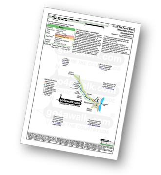
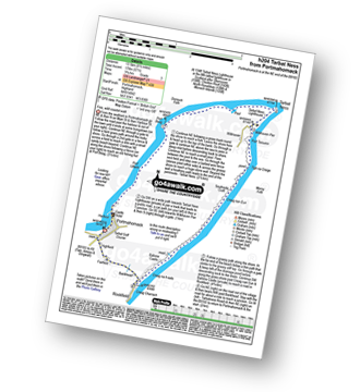
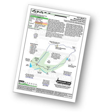
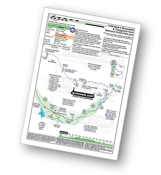
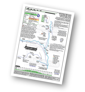
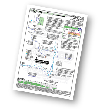
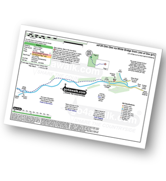
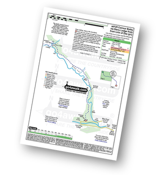
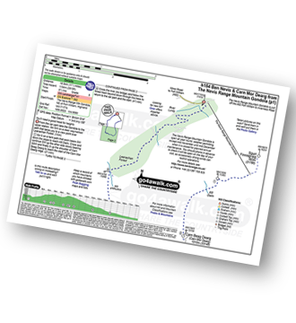
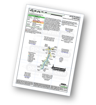
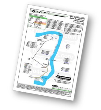
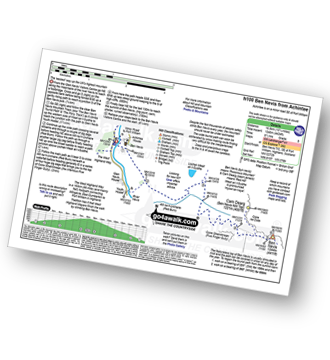
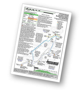
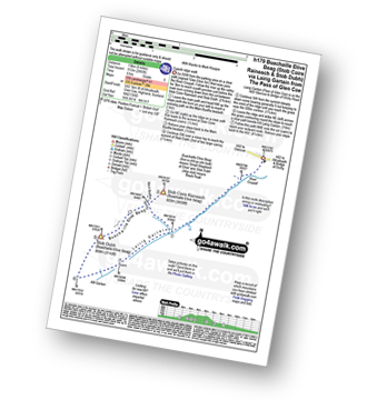
UK Postcode IV12 - The 30 nearest easy-to-follow, circular walk route maps to you
The thirty nearest easy-to-follow, circular walk route maps to you in UK Postcode IV12 in Walk Grade Order
The UK cities, towns and villages in Highland, Scotland that have IV12 in their UK Postcode include:
• Achindown • Auldearn • Balmore • Banchor • Boghole Fm • Bruachmary • Cantraydoune • Carnoch • Cawdor • Clunas • Culcharry • Daless • Dallaschyle • Daltra • Dulsie • Easter Galcantray • Ferness • Fornighty • Hilton of Delnies • Househill • Kingsteps • Kirkton of Barevan • Littlemill • Milltown • Milton • Moss-side • Mount • Nairn • Piperhill • Redburn • Regoul • Torrich • Tradespark • Urchany •
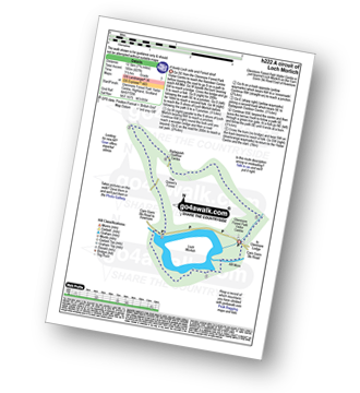
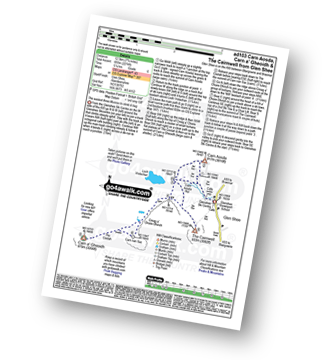
Vital Statistics:
| Length: | 2.5 miles (4 km) |
| Ascent: | 407ft (124m) |
| Time: | 1½ hrs |
| Grade: |  |
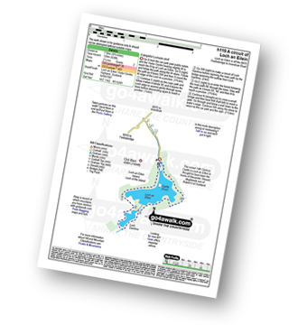
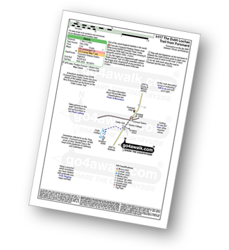
Vital Statistics:
| Length: | 8.5 miles (13.5 km) |
| Ascent: | 571ft (174m) |
| Time: | 3.75hrs |
| Grade: |  |
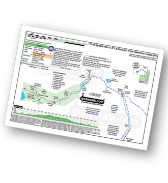
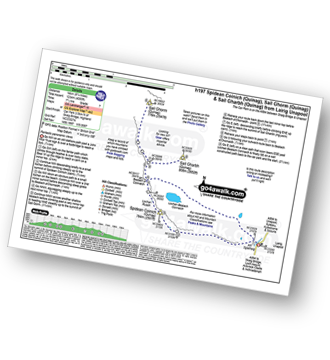
Vital Statistics:
| Length: | 5.25 miles (8.5 km) |
| Ascent: | 1,666ft (508m) |
| Time: | 3.75hrs |
| Grade: |  |
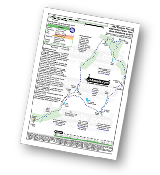
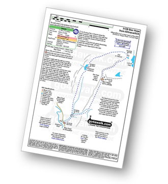
Vital Statistics:
| Length: | 10 miles (16 km) |
| Ascent: | 2,425ft (739m) |
| Time: | 6 hrs |
| Grade: |  |
Vital Statistics:
| Length: | 8.25 miles (13 km) |
| Ascent: | 745ft (244m) |
| Time: | 3.75hrs |
| Grade: |  |
Vital Statistics:
| Length: | 4.75 miles (7.5 km) |
| Ascent: | 197ft (60m) |
| Time: | 2 hrs |
| Grade: |  |
Vital Statistics:
| Length: | 15 miles (24 km) |
| Ascent: | 3,052ft (930m) |
| Time: | 8½ hrs |
| Grade: |  |
Vital Statistics:
| Length: | 11 miles (17.5 km) |
| Ascent: | 1,159ft (353m) |
| Time: | 5 hrs |
| Grade: |  |
Vital Statistics:
| Length: | 16.5 miles (26.5 km) |
| Ascent: | 5,415ft (1,045m) |
| Time: | 11½ hrs |
| Grade: |  |
Vital Statistics:
| Length: | 4 miles (6.5 km) |
| Ascent: | 2,104ft (641m) |
| Time: | 3.75hrs |
| Grade: |  |
Vital Statistics:
| Length: | 7.25 miles (11.5 km) |
| Ascent: | 2,609ft (795m) |
| Time: | 5.25hrs |
| Grade: |  |
Vital Statistics:
| Length: | 8.75 miles (14 km) |
| Ascent: | 3,036ft (925m) |
| Time: | 6.25hrs |
| Grade: |  |
Vital Statistics:
| Length: | 12.75 miles (20.5 km) |
| Ascent: | 3,243ft (988m) |
| Time: | 8 hrs |
| Grade: |  |
Vital Statistics:
| Length: | 11.5 miles (18.5 km) |
| Ascent: | 4,260ft (1,298m) |
| Time: | 8½ hrs |
| Grade: |  |
Vital Statistics:
| Length: | 7 miles (11 km) |
| Ascent: | 610ft (186m) |
| Time: | 3.25hrs |
| Grade: |  |
Vital Statistics:
| Length: | 8.25 miles (13 km) |
| Ascent: | 1,113ft (339m) |
| Time: | 4 hrs |
| Grade: |  |
Vital Statistics:
| Length: | 7.75 miles (12.5 km) |
| Ascent: | 2,274ft (693m) |
| Time: | 5.25hrs |
| Grade: |  |
Vital Statistics:
| Length: | 1 miles (1.5 km) |
| Ascent: | 33ft (10m) |
| Time: | 0½ hrs |
| Grade: |  |
Vital Statistics:
| Length: | 8.75 miles (14 km) |
| Ascent: | 4,050ft (1,234m) |
| Time: | 7½ hrs |
| Grade: |  |
Vital Statistics:
| Length: | 7.25 miles (11.5 km) |
| Ascent: | 3,086ft (941m) |
| Time: | 5½ hrs |
| Grade: |  |
Vital Statistics:
| Length: | 11.5 miles (18.5 km) |
| Ascent: | 3,919ft (1,194m) |
| Time: | 8½ hrs |
| Grade: |  |
Vital Statistics:
| Length: | 2.75 miles (4.5 km) |
| Ascent: | 587ft (179m) |
| Time: | 1.75hrs |
| Grade: |  |
Vital Statistics:
| Length: | 5.5 miles (9 km) |
| Ascent: | 391ft (119m) |
| Time: | 2½ hrs |
| Grade: |  |
Vital Statistics:
| Length: | 10.25 miles (16.5 km) |
| Ascent: | 4,424ft (1,348m) |
| Time: | 8½ hrs |
| Grade: |  |
Vital Statistics:
| Length: | 12.25 miles (19.5 km) |
| Ascent: | 5,333ft (1,625m) |
| Time: | 10 hrs |
| Grade: |  |
Vital Statistics:
| Length: | 10.25 miles (16.5 km) |
| Ascent: | 3,929ft (1,197m) |
| Time: | 7.75hrs |
| Grade: |  |
Vital Statistics:
| Length: | 6.5 miles (10.5 km) |
| Ascent: | 2,227ft (679m) |
| Time: | 4½ hrs |
| Grade: |  |
Vital Statistics:
| Length: | 4.25 miles (6.5 km) |
| Ascent: | 2,491ft (759m) |
| Time: | 4 hrs |
| Grade: |  |
Vital Statistics:
| Length: | 8.25 miles (13 km) |
| Ascent: | 3,814ft (1,162m) |
| Time: | 7 hrs |
| Grade: |  |
Vital Statistics:
| Length: | 8.25 miles (13 km) |
| Ascent: | 2,993ft (912m) |
| Time: | 6 hrs |
| Grade: |  |


