Seventeen easy to follow campsite walks from Bainbridge Ings Caravan and Camping Site, Hawes, The Yorkshire Dales, North Yorkshire, England

To reach Bainbridge Ings Caravan and Camping Site, Hawes, in-car SatNav users should select the Latitude/Longitude (Lat Lon) screen and enter:

Lat = N54.30093 and Lon = W2.18605 or postcode: DL8 3NU

Get directions to Bainbridge Ings Caravan and Camping Site in Hawes

Scroll down the list of walks below & click on each walk title (in blue) to locate it on the map above.


Walk 1 Walking Bootprint Icon

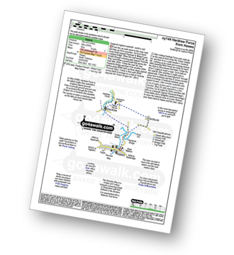
Walk ny144 Hardraw Force from Hawes

England's highest waterfall - well worth a visit

Download GPS Waypoint Data for walk ny144
Download GPX Waypoint Data for walk ny144
Download Map and Route Details for walk ny144

Vital Statistics:

Length:3.75 miles (6 km)
Ascent:295ft (90m)
Time:1.75hrs
Grade:Grade 2 Walking Easy
Walk 2 Walking Bootprint Icon

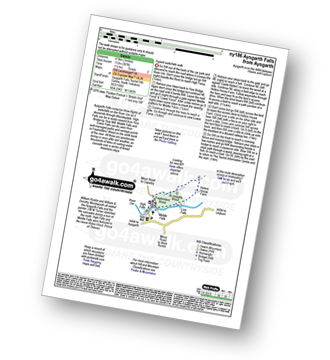
Walk ny186 Aysgarth Falls from Aysgarth

Superb waterfalls walk

Download GPS Waypoint Data for walk ny186
Download GPX Waypoint Data for walk ny186
Download Map and Route Details for walk ny186

Vital Statistics:

Length:3 miles (4.5 km)
Ascent:367ft (112m)
Time:1½ hrs
Grade:Grade 2 Walking Easy
Walk 3 Walking Bootprint Icon

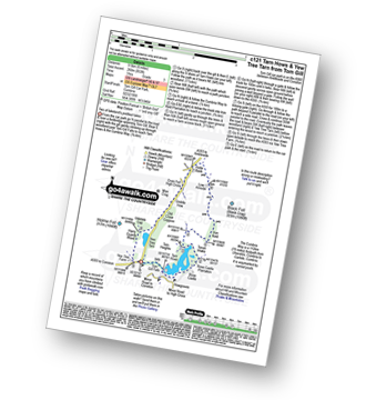
Walk c121 Tarn Hows and Yew Tree Tarn from Tom Gill

Two of lakeland's prettiest lakes

Download GPS Waypoint Data for walk c121
Download GPX Waypoint Data for walk c121
Download Map and Route Details for walk c121

Vital Statistics:

Length:6 miles (9.5 km)
Ascent:853ft (260m)
Time:3 hrs
Grade:Grade 3 Walking Easy
Walk 4 Walking Bootprint Icon

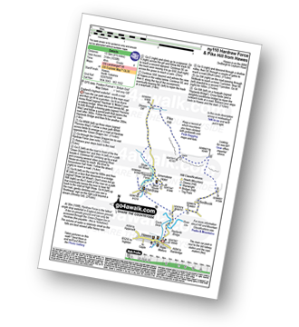
Walk ny110 Hardraw Force and Pike Hill from Hawes

England's highest waterfall - worth a visit

Download GPS Waypoint Data for walk ny110
Download GPX Waypoint Data for walk ny110
Download Map and Route Details for walk ny110

Vital Statistics:

Length:8.5 miles (13.5 km)
Ascent:1,030ft (314m)
Time:4 hrs
Grade:Grade 4 Walking Moderate
Walk 5 Walking Bootprint Icon

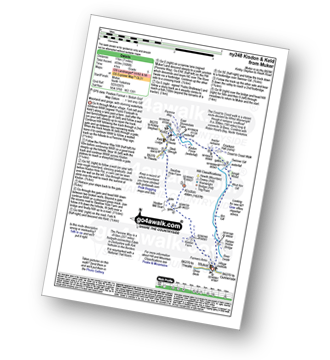
Walk ny248 Kisdon and Keld from Muker

Moorland and gorge, with stunning waterfalls

Download GPS Waypoint Data for walk ny248
Download GPX Waypoint Data for walk ny248
Download Map and Route Details for walk ny248

Vital Statistics:

Length:7 miles (11 km)
Ascent:1,345ft (410m)
Time:3.75hrs
Grade:Grade 5 Walking Moderate
Walk 6 Walking Bootprint Icon

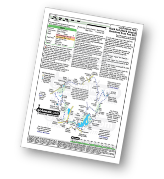
Walk c353 Holme Fell, Black Fell (Black Crag) and Tarn Hows from Tom Gill

Fine views of Tarn Hows and southern lakeland

Download GPS Waypoint Data for walk c353
Download GPX Waypoint Data for walk c353
Download Map and Route Details for walk c353

Vital Statistics:

Length:8.25 miles (13 km)
Ascent:1,995ft (608m)
Time:5 hrs
Grade:Grade 6 Walking Moderate
Walk 7 Walking Bootprint Icon

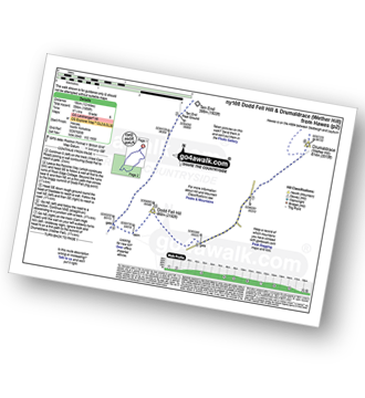
Walk ny108 Dodd Fell Hill and Drumaldrace (Wether Fell) from Hawes

Long but gentle ascents to fine views

Download GPS Waypoint Data for walk ny108
Download GPX Waypoint Data for walk ny108
Download Map and Route Details for walk ny108

Vital Statistics:

Length:12 miles (19 km)
Ascent:1,956ft (596m)
Time:6.25hrs
Grade:Grade 6 Walking Moderate
Walk 8 Walking Bootprint Icon

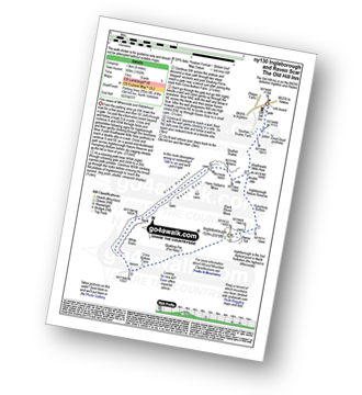
Walk ny130 Ingleborough and Raven Scar from The Old Hill Inn, Ribblehead

Fine views of Whernside and Ribblehead

Download GPS Waypoint Data for walk ny130
Download GPX Waypoint Data for walk ny130
Download Map and Route Details for walk ny130

Vital Statistics:

Length:8.25 miles (13 km)
Ascent:1,932ft (589m)
Time:5 hrs
Grade:Grade 6 Walking Moderate
Walk 9 Walking Bootprint Icon

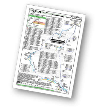
Walk ny145 Tan Hill and Robert's Seat from Keld

Where The Pennine Way meets The Coast to Coast walk

Download GPS Waypoint Data for walk ny145
Download GPX Waypoint Data for walk ny145
Download Map and Route Details for walk ny145

Vital Statistics:

Length:11.25 miles (18 km)
Ascent:2,091ft (637m)
Time:6.25hrs
Grade:Grade 6 Walking Moderate
Walk 10 Walking Bootprint Icon

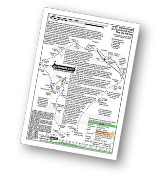
Walk ny171 Ingleborough and Simon Fell from The Old Hill Inn, Ribblehead

Fine views of Whernside and the magnificent Ribblehead viaduct

Download GPS Waypoint Data for walk ny171
Download GPX Waypoint Data for walk ny171
Download Map and Route Details for walk ny171

Vital Statistics:

Length:11.5 miles (18.5 km)
Ascent:2,227ft (679m)
Time:6½ hrs
Grade:Grade 6 Walking Moderate
Walk 11 Walking Bootprint Icon

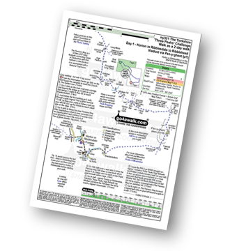
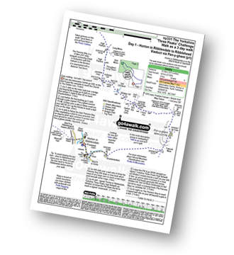
Walk ny321 The Yorkshire Three Peaks Challenge as a 2 day walk - Day 1 from Horton in Ribblesdale (New 2013 Route)

Do The Yorkshire Three Peaks over a weekend

Download GPS Waypoint Data for walk ny321
Download GPX Waypoint Data for walk ny321
Download Map and Route Details for walk ny321

Vital Statistics:

Length:10.25 miles (16.5 km)
Ascent:2,136ft (651m)
Time:6 hrs
Grade:Grade 6 Walking Moderate
Walk 12 Walking Bootprint Icon

Walk ny331 The Yorkshire Three Peaks Challenge as a 3 day walk - Day 1 from Horton in Ribblesdale (New 2013 Route)

The Yorkshire Three Peaks - the civilised way

Download GPS Waypoint Data for walk ny331
Download GPX Waypoint Data for walk ny331
Download Map and Route Details for walk ny331

Vital Statistics:

Length:10.25 miles (16.5 km)
Ascent:2,136ft (651m)
Time:6 hrs
Grade:Grade 6 Walking Moderate
Walk 13 Walking Bootprint Icon

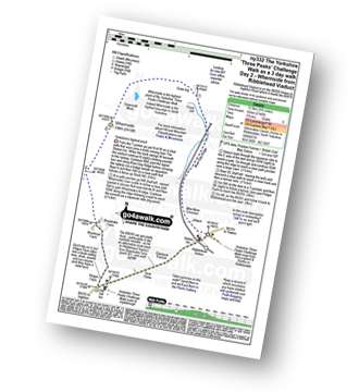
Walk ny332 The Yorkshire Three Peaks Challenge as a 3 day walk - Day 2 from Ribblehead

The Yorkshire Three Peaks - the civilised way

Download GPS Waypoint Data for walk ny332
Download GPX Waypoint Data for walk ny332
Download Map and Route Details for walk ny332

Vital Statistics:

Length:8.75 miles (14 km)
Ascent:1,772ft (540m)
Time:5 hrs
Grade:Grade 6 Walking Moderate
Walk 14 Walking Bootprint Icon

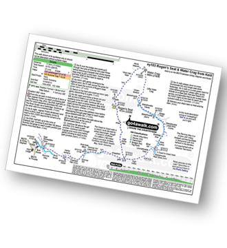
Walk ny103 Rogan's Seat and Water Crag (Arkengarthdale) from Keld

Excellent 360 degree views

Download GPS Waypoint Data for walk ny103
Download GPX Waypoint Data for walk ny103
Download Map and Route Details for walk ny103

Vital Statistics:

Length:11 miles (17.5 km)
Ascent:2,681ft (817m)
Time:6.75hrs
Grade:Grade 7 Walking Hard
Walk 15 Walking Bootprint Icon

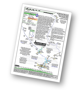
Walk ny149 Great Shunner Fell from Hawes

The Pennine Way - and superb views of Hawes

Download GPS Waypoint Data for walk ny149
Download GPX Waypoint Data for walk ny149
Download Map and Route Details for walk ny149

Vital Statistics:

Length:13.75 miles (22 km)
Ascent:2,330ft (710m)
Time:7.25hrs
Grade:Grade 7 Walking Hard
Walk 16 Walking Bootprint Icon

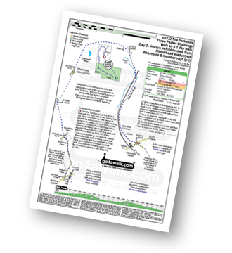
Walk ny322 The Yorkshire Three Peaks Challenge as a 2 day walk - Day 2 from Horton in Ribblesdale

Do the Yorkshire Three Peaks over a weekend

Download GPS Waypoint Data for walk ny322
Download GPX Waypoint Data for walk ny322
Download Map and Route Details for walk ny322

Vital Statistics:

Length:14 miles (22.5 km)
Ascent:3,207ft (977m)
Time:8½ hrs
Grade:Grade 8 Walking Hard
Walk 17 Walking Bootprint Icon

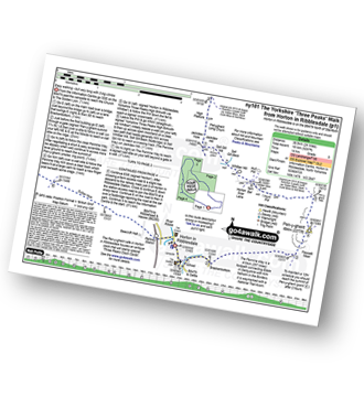
Walk ny101 The Yorkshire Three Peaks from Horton in Ribblesdale

Easy walking - but very arduous, very long and with 3 big ascents

Download GPS Waypoint Data for walk ny101
Download GPX Waypoint Data for walk ny101
Download Map and Route Details for walk ny101

Vital Statistics:

Length:24 miles (38.5 km)
Ascent:5,297ft (1,614m)
Time:14 hrs
Grade:Grade 9 Walking Very Hard


Follow go4awalk.com on Twitter Follow go4awalk.com on Facebook


Home


Find new Friends to go walking with

Walk all 214 Wainwrights in just 59 Walks. Download GPS Waypoints - Great Walks you must not miss!

Walk The Yorkshire Three Peaks Challenge Walk - All the Latest Route Information, GPS Waypoints and Split Times to keep you on Schedule

Walk The British Three Peaks Challenge Walk - All the Latest Route Information and GPS Waypoints

See our pick of The Best Walks in The Lake District - Great Walks you must not miss!

Walk our pick of the Best Lake District Ridge Walks - Great Walks you must not miss!

Walk our pick of the Best Lake District Walks to do in the rain - Great Walks you must not miss!

Walk our pick of The Best Walks in Snowdonia - Great Walks you must not miss!

Walk our pick of The Best Ridge Walks in Wales - Walks you must not miss!

Walk our pick of The Best Walks in The Brecon Beacons - Great Walks you must not miss!

Walk our pick of The Best Walks in The Yorkshire Dales - Walks you must not miss!

Walk our pick of The Best Walks in The Peak District - Walks you must not miss!

Walk our pick of The Best Walks in The Forest of Bowland - Walks you must not miss!

Walk our pick of The Best Walks in Shropshire - Walks you must not miss!

Walk our pick of The Best Walks in Cheshire - Walks you must not miss!

Walk our pick of The Best Walks in Lancashire - Walks you must not miss!

Not sure where to walk next? Try Peak Bagging - Great Walks you must not miss!

Not sure where to walk next? Walk part of a National Trail - Great Walks you must not miss!

Walks with Downloadable and Uploadable GPS Waypoint Data

Walking Kit and Gear Tested by Walkers

Full Site Search