   |
Vital Statistics:
| Length: | 6mls (9.5km) |
| Ascent: | 853ft (260m) |
| Time: | 3hrs |
| Grade: |  |
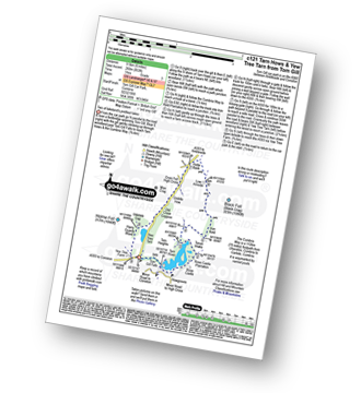
Route outline for walk c121:
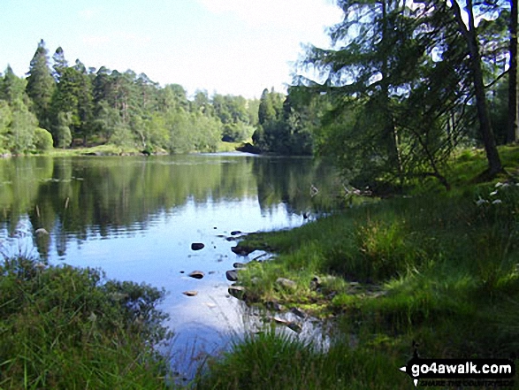
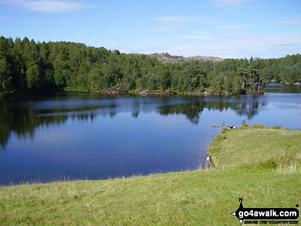
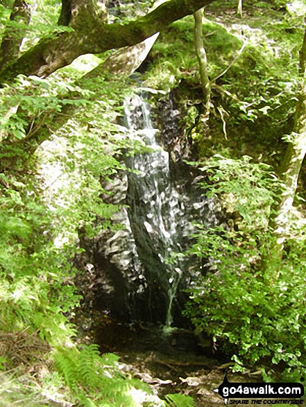
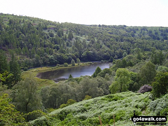
Tom Gill - Tom Gill Waterfall - Tarn Hows - Rose Castle Plantation - Torver Intake - The Cumbria Way - Tom Heights - Iron Keld - Low Arnside - The Cumbria Way - Oxen Fell High Cross - Man Crag - Yew Tree Tarn - Harry Guards Wood - Yew Tree Farm - Glen Mary Bridge - Tom Gill
National Trails & Long Paths included on this walk:
Part of this walk follows a section of The Cumbria Way, a 112km (70 miles) linear footpath connecting Ulverston in Cumbria, England with Carlisle in Cumbria, England. The Cumbria Way is waymarked by named posts. For more walks that include a section of this trail see The Cumbria Way.
You can find this walk and other nearby walks on these unique free-to-access Interactive Walk Planning Maps:
1:25,000 scale OS Explorer Map (orange/yellow covers):
1:50,000 scale OS Landranger Maps (pink/magenta covers):
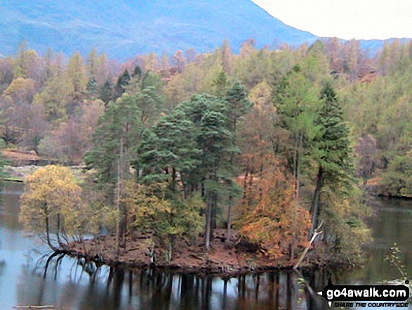
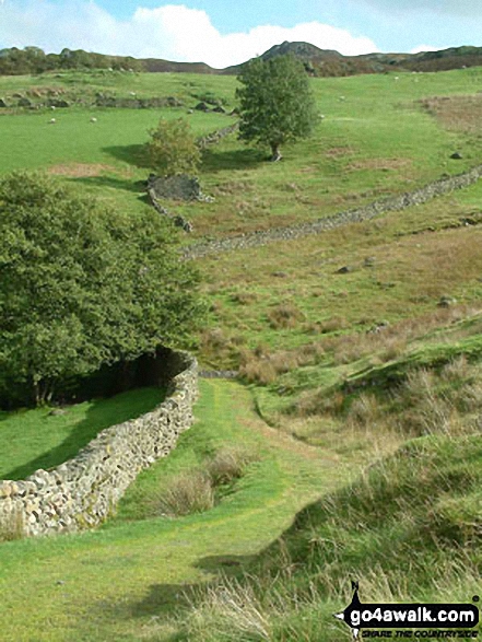
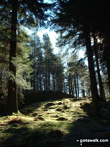
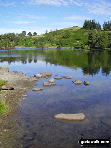
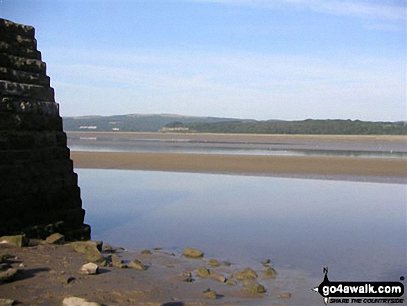
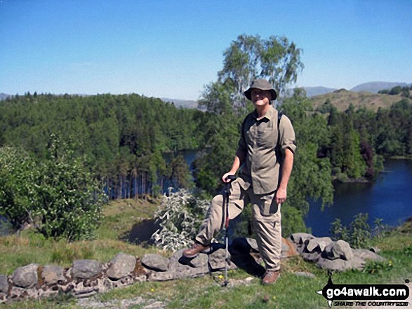
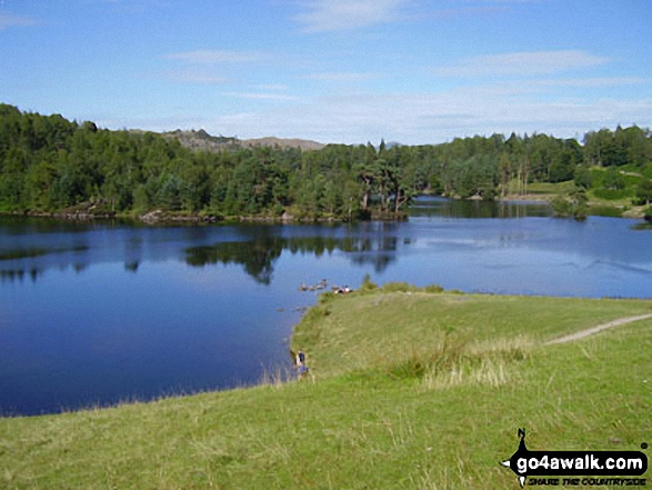
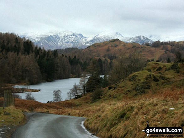
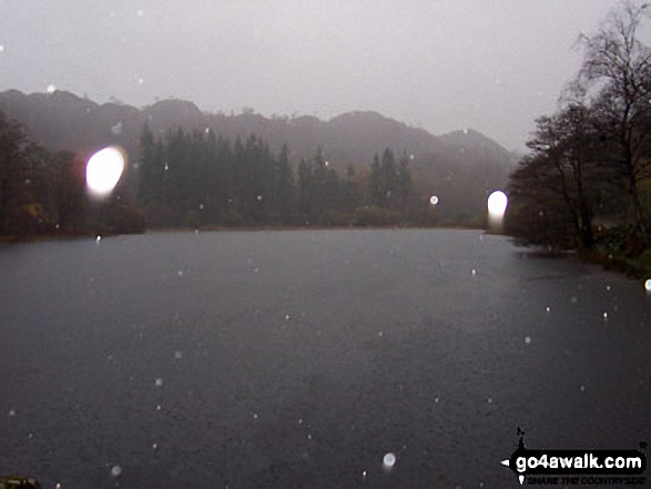
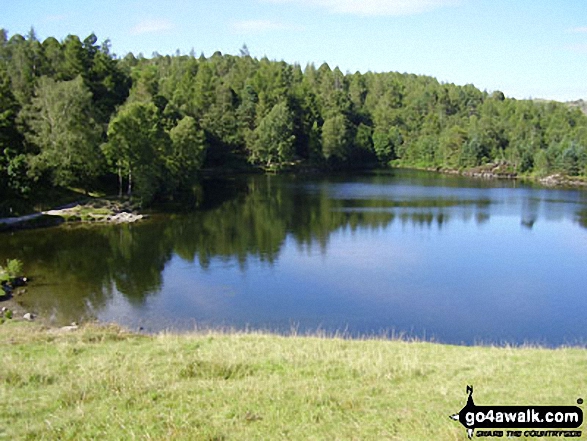
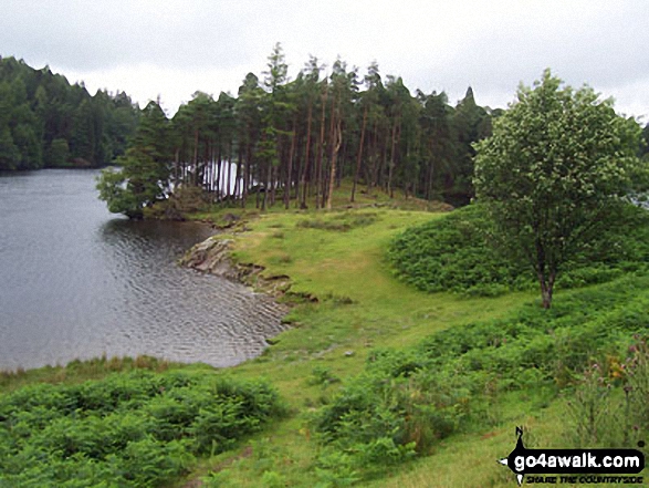
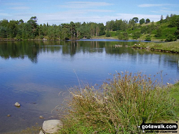
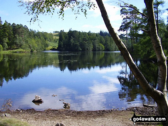
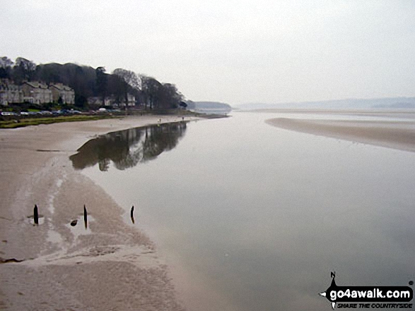
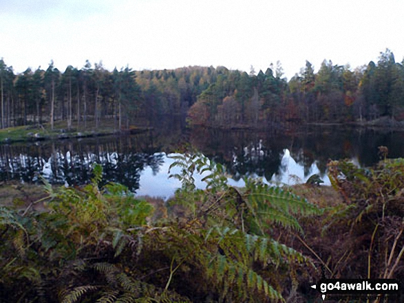
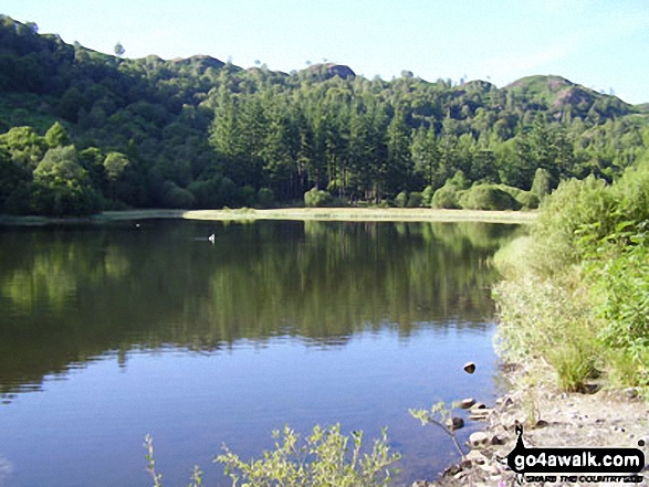
Some Photos and Pictures from Walk c121 Tarn Hows and Yew Tree Tarn from Tom Gill
In no particular order . . .
. . . load all 50 walk photos from Walk c121 Tarn Hows and Yew Tree Tarn from Tom Gill
Send us your photographs and pictures from your walks and hikes
We would love to see your photographs and pictures from walk c121 Tarn Hows and Yew Tree Tarn from Tom Gill. Send them in to us as email attachments (configured for any computer) along with your name and where the picture was taken to:
and we shall do our best to publish them.
(Guide Resolution = 300dpi. At least = 660 pixels (wide) x 440 pixels (high).)

You can also submit photos from walk c121 Tarn Hows and Yew Tree Tarn from Tom Gill via our Facebook Page.
NB. Please indicate where each photo was taken.


