All the Mountains, Tops, Peaks and Hills in The Black Mountains Area of Bannau Brycheiniog (The Brecon Beacons National Park), Wales
The Black Mountains Area is the Eastern half of the National Park. It is enclosed by:
- The Park Boundary to the North, East & South
- The B4558 from Brecon to Talybont-on-Usk and then a minor road south past Talybont Reservoir, Pentwyn Reservoir and Pontsticill Reservoir to Pontsticill to the West
There are 39 'tops' to walk up, bag and conquer, the highest point is Waun Fach and the area includes:
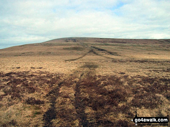 Waun Fach, the highest point in The Black Mountains Area of Bannau Brycheiniog (The Brecon Beacons)
Photo: Jon Rimmer
| 0 | Wainwrights | |
| 9 | Mountains (aka Hewitts) | |
| 9 | Deweys | |
| 12 | Nuttalls | |
| 0 | Wainwright Outlying Fells | |
| 11 | Marilyns | |
| 14 | Hills (aka Bridgets) and | |
| 21 | Mountains, Tops, Peaks or Hills with a Trig Point on or near the top |
View these Mountains, Peaks, Tops and Hills in The Black Mountains Area of Bannau Brycheiniog (The Brecon Beacons):
- On a Downloadable PDF you can Print or Save to your Phone#
- On an Interactive Google Map (loads faster)
- On an Interactive Google Map with a list of tops below it.
(makes it easier to locate a particular top) - On a Detailed List in:
Alphabetical Order | Height Order - On one page with 'yet-to-be-bagged' listed 1st & then 'already-bagged' tops listed 2nd in:
Alphabetical Order | Height Order - On one page with 'already-bagged' tops listed 1st & then 'yet-to-be-bagged' tops listed 2nd in:
Alphabetical Order | Height Order
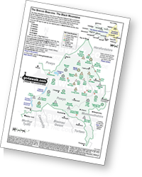 Downloadable Peak Baggers Map you can Print or Save to your Phone detailing the The Black Mountains Area of Bannau Brycheiniog (The Brecon Beacons)
# Whether you print a copy or download it to your phone, this Peak Baggers' Map will be essential if you want to know what's what when you are up in the hills and mountains and cannot get a phone signal.


