All the Peaks, Tops and Hills in The Forest of Bowland and The South Pennines as a detailed list
The Forest of Bowland and The South Pennines is located in North West England covering parts of Cumbria, Greater Manchester, Lancashire, Merseyside and West Yorkshire.
If you include all the Deweys, the Marilyns, the Bridgets (Hills) and all the Mountains, Tops, Peaks and Hills with a Trig Point on them there are 59 tops to climb, bag & conquer and the highest point is Mallowdale Pike (Mallowdale Fell) at 561m (1,841ft).
![]() Your Personal Bagging Record for The Forest of Bowland and The South Pennines
Your Personal Bagging Record for The Forest of Bowland and The South Pennines
When logged on, you can mark each Mountain, Peak, Top or Hill as 'bagged' by either:
- if you opt to display the tops in this area using a google map, click or tap on its symbol on the map below. This will open a text window. Click or tap on the 'Record [mountain name] as Bagged, Climbed & Conquered' link towards the bottom of the text window, or
- if you opt to display the tops in this area as a list, click or tap on the red 'not yet' symbol to the right of the name of each 'top'
Either method will open a new page where you can complete all your details such as:
- when you bagged the Mountain, Peak, Top or Hill;
- which route you took
- who you went with
- what the weather was like
- any other comment that will remind you of the day
Once you have completed your details and click or tap the submit button, you will automatically return to this page and the top you bagged will show with a green tick.
NB. None of the above fields are 'mandatory' - you can leave them blank if you wish.
NNB. You also have the option whether to display your peak bagging exploits to other users of this site or keep them private so only you can see them when you are logged on.
Furthermore, since you can also access your Personal Mountain & Hill Bagging Record via go4awalk Mobile you can quickly & easily record, edit and view your achievements - whether you are at home/work on your desktop computer or in the pub/at the top of a mountain with your Mobile Phone. (You can even download your Personal Mountain & Hill Bagging Record as a .csv file for importing into and saving with spreadsheet software like Excel or NeoOffice!)
This facility costs one credit to initially access your personal bagging record. Once accessed, all other interactions, such as recording other Mountains, Peaks, Tops and Hills as 'bagged' or altering an existing bagging record, are free.
Click REGISTER to register and purchase credits.
LOG ON and RELOAD this page to show which Mountains, Peaks, Tops and Hills you have already climbed, bagged & conquered. [ . . . remove this text]
Page 1 of 2 Go to page: 1 2 |
See this list in: Alphabetical Order
| Height Order‡
To reverse the order select the link again.
Mountain, Peak, Top or Hill:
Bagged

![]()
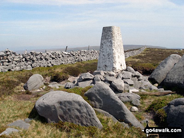
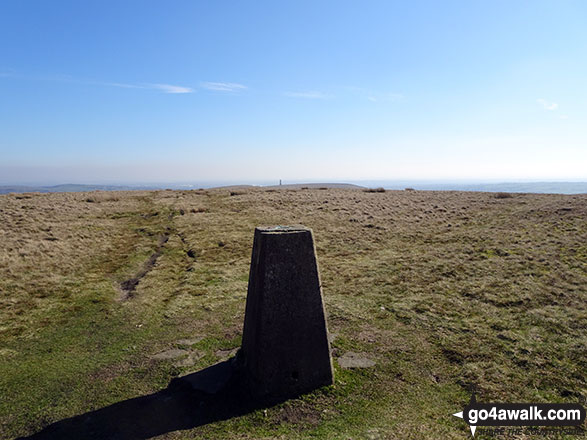
1. Mallowdale Pike (Mallowdale Fell)
561m (1,841ft)
Mallowdale Pike (Mallowdale Fell) is on interactive maps:
Mallowdale Pike (Mallowdale Fell) is on downloadable PDF you can Print or Save to your Phone: |

![]()
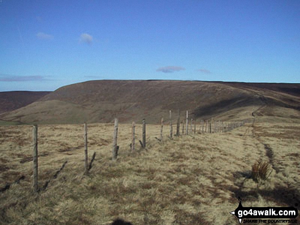
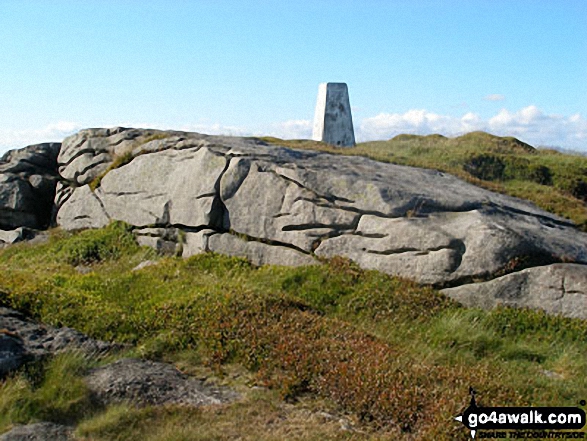
2. Ward's Stone (Mallowdale Fell)
560m (1,837ft)
Ward's Stone (Mallowdale Fell) is on interactive maps:
|
![]()
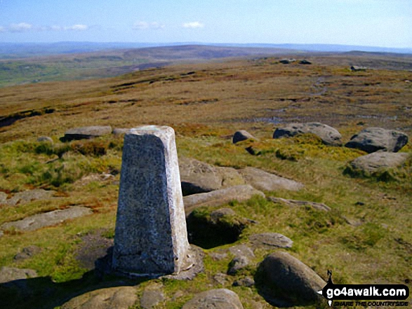
3. Pendle Hill (Beacon or Big End)
557m (1,828ft)
Pendle Hill (Beacon or Big End) is on interactive maps:
Pendle Hill (Beacon or Big End) is on downloadable PDF you can Print or Save to your Phone: |
![]()
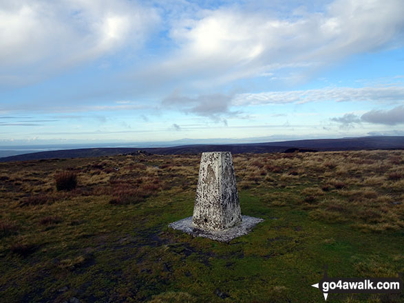
4. White Hill (Forest of Bowland)
544m (1,785ft)
White Hill (Forest of Bowland) is on interactive maps:
White Hill (Forest of Bowland) is on downloadable PDF you can Print or Save to your Phone: |

![]()
5. Wolfhole Crag
528m (1,733ft)
Wolfhole Crag is on interactive maps:
Wolfhole Crag is on downloadable PDF you can Print or Save to your Phone: |

![]()
6. Fair Snape Fell
520m (1,706ft)
Fair Snape Fell is on interactive maps:
Fair Snape Fell is on downloadable PDF you can Print or Save to your Phone: |
![]()
7. Lad Law (Boulsworth Hill)
517m (1,697ft)
Lad Law (Boulsworth Hill) is on interactive maps:
Lad Law (Boulsworth Hill) is on downloadable PDF you can Print or Save to your Phone: |
![]()
8. Paddy's Pole (Fair Snape Fell)
510m (1,673ft)
Paddy's Pole (Fair Snape Fell) is on interactive maps:
Paddy's Pole (Fair Snape Fell) is on downloadable PDF you can Print or Save to your Phone: |
![]()
9. Totridge Fell
496m (1,628ft)
Totridge Fell is on interactive maps:
Totridge Fell is on downloadable PDF you can Print or Save to your Phone: |

![]()
10. Catlow Fell (Ravens Castle)
486m (1,595ft)
Catlow Fell (Ravens Castle) is on interactive maps:
Catlow Fell (Ravens Castle) is on downloadable PDF you can Print or Save to your Phone: |
![]()
11. Way Stone Edge (Moss Moor)
482m (1,581ft)
Send it in and we'll publish it here.
Way Stone Edge (Moss Moor) is on interactive maps:
Way Stone Edge (Moss Moor) is on downloadable PDF you can Print or Save to your Phone: |
![]()
12. Hawthornthwaite Fell Top
479m (1,572ft)
Send it in and we'll publish it here.
Hawthornthwaite Fell Top is on interactive maps:
Hawthornthwaite Fell Top is on downloadable PDF you can Print or Save to your Phone: |
![]()
13. Hoof Stones Height
479m (1,572ft)
Hoof Stones Height is on interactive maps:
|

![]()
14. Hail Storm Hill
477m (1,566ft)
Hail Storm Hill is on interactive maps:
Hail Storm Hill is on downloadable PDF you can Print or Save to your Phone: |
![]()
15. Whins Brow
476m (1,562ft)
Whins Brow is on interactive maps:
Whins Brow is on downloadable PDF you can Print or Save to your Phone: |
![]()
16. Blackstone Edge
472m (1,549ft)
Blackstone Edge is on interactive maps:
Blackstone Edge is on downloadable PDF you can Print or Save to your Phone: |
![]()
17. Baxton Fell
469m (1,539ft)
Baxton Fell is on interactive maps:
Baxton Fell is on downloadable PDF you can Print or Save to your Phone: |
![]()
18. Withins Height
457m (1,500ft)
Withins Height is on interactive maps:
Withins Height is on downloadable PDF you can Print or Save to your Phone: |

![]()
19. Winter Hill (Rivington Moor)
456m (1,497ft)
Winter Hill (Rivington Moor) is on interactive maps:
Winter Hill (Rivington Moor) is on downloadable PDF you can Print or Save to your Phone: |
![]()
20. Freeholds Top
455m (1,493ft)
Freeholds Top is on interactive maps:
Freeholds Top is on downloadable PDF you can Print or Save to your Phone: |
![]()
21. Hollin Hill (Oxenhope Moor)
451m (1,480ft)
Send it in and we'll publish it here.
Hollin Hill (Oxenhope Moor) is on interactive maps:
Hollin Hill (Oxenhope Moor) is on downloadable PDF you can Print or Save to your Phone: |
![]()
22. Thieveley Pike
449m (1,473ft)
Thieveley Pike is on interactive maps:
Thieveley Pike is on downloadable PDF you can Print or Save to your Phone: |
![]()
23. White Hill (Midgley Moor)
446m (1,464ft)
Send it in and we'll publish it here.
White Hill (Midgley Moor) is on interactive maps:
White Hill (Midgley Moor) is on downloadable PDF you can Print or Save to your Phone: |
![]()
24. Little Wolf Stones (Keighley Moor)
443m (1,453ft)
Send it in and we'll publish it here.
Little Wolf Stones (Keighley Moor) is on interactive maps:
Little Wolf Stones (Keighley Moor) is on downloadable PDF you can Print or Save to your Phone: |
![]()
25. Dog Hill (Rishworth Moor)
435m (1,428ft)
Dog Hill (Rishworth Moor) is on interactive maps:
|
![]()
26. Rough Hill (Shore Moor)
434m (1,424ft)
Rough Hill (Shore Moor) is on interactive maps:
Rough Hill (Shore Moor) is on downloadable PDF you can Print or Save to your Phone: |
![]()
27. Burn Fell (Forest of Bowland)
431m (1,415ft)
Send it in and we'll publish it here.
Burn Fell (Forest of Bowland) is on interactive maps:
Burn Fell (Forest of Bowland) is on downloadable PDF you can Print or Save to your Phone: |
![]()
28. Crutchenber Fell (Bowland Knotts)
430m (1,411ft)
Crutchenber Fell (Bowland Knotts) is on interactive maps:
Crutchenber Fell (Bowland Knotts) is on downloadable PDF you can Print or Save to your Phone: |
![]()
29. Hazelhurst Fell (Bleasdale Moors)
429m (1,407ft)
Send it in and we'll publish it here.
Hazelhurst Fell (Bleasdale Moors) is on interactive maps:
Hazelhurst Fell (Bleasdale Moors) is on downloadable PDF you can Print or Save to your Phone: |
![]()
30. Bull Hill (Holcombe Moor)
418m (1,371ft)
Bull Hill (Holcombe Moor) is on interactive maps:
Bull Hill (Holcombe Moor) is on downloadable PDF you can Print or Save to your Phone: |
Page 1 of 2 Go to page: 1 2 |
# Whether you print a copy or download it to your phone, this Peak Baggers' Map will prove incredibly useful if you want to know what's what when you are up in the mountains and cannot get a phone signal
Is there a Mountain, Peak, Top or Hill missing from the above google map or list?
Let us know an we will add it to our database.
To contribute to go4awalk.com or to contact us about anything at all - see Talk To Us.
For help see Help.
go4awalk.com and go4awalk.co.uk are registered trademarks of TMDH Limited.
Copyright © 2000-2025 TMDH Limited. All rights reserved.
Copyright Terms & Conditions Privacy Statement
A - Z Walks Home Log On/Accounts Photo Gallery Walk Ideas and Collections Fell Facts Hill Skills Walking Questions and Answers Your Stories News Competitions Product Reviews/Gear Tests Walking Gear Guides Peaks and Mountains Peak Bagging Find New Walking Friends Camping GPS Waypoints for Walking Contents Walk Search Talk To Us go4awalk.com Help Free Example Walks Newsletter


