
![]()
Thieveley Pike
449m (1473ft)
The South Pennines and The Forest of Bowland, Lancashire, England
The summit of Thieveley Pike is marked by an Ordnance Survey Trig Point.

Not familiar with this top?
   |
|---|
Vital Statistics:
| Length: | 8.25ml (13km) |
|---|---|
| Ascent: | 1,870ft (570m) |
| Time: | 4½ hrs |
| Grade: |  (Moderate) (Moderate) |
Route Summary:
Holme Chapel - The Burnley Way - Scout Farm - Cow Side Farm - Black Clough (Deerplay Moor) - Thieveley Pike - Heald Moor - Portsmouth - Dean Farm - Black Scout - Cartridge Pasture - Holme Chapel
See Thieveley Pike and the surrounding tops on our free-to-access 'Google Style' Peak Bagging Map:
The Forest of Bowland and The South Pennines
Less data - quicker to download
See Thieveley Pike and the surrounding tops on our downloadable Peak Bagging Map in PDF format:

NB: Whether you print off a copy or download it to your phone, this PDF Peak Baggers' Map might prove incredibly useful when your are up there on the tops and you cannot get a phone signal.
You can find Thieveley Pike & all the walks that climb it on these unique free-to-access Interactive Walk Planning Maps:
1:25,000 scale OS Explorer Map (orange/yellow covers):
1:50,000 scale OS Landranger Map (pink/magenta covers):
 Fellow go4awalkers who have already walked, climbed, summited & bagged Thieveley Pike
Mark Davidson walked up Thieveley Pike on September 22nd, 2001 [from/via/route] Walk l220 Thieveley Pike & Black Scout from Holme Chapel [with] Theresa [weather] Rather cloudy & grey - To be honest, Theiveley Pike is a bit of a mess
John Ramsbottom climbed Thieveley Pike on October 10th, 2023 [from/via/route] Street parking Bacup [with] Lola [weather] sunshine cold & frosty, nice day - No pub this time . Being good
Margaret Richards has bagged Thieveley Pike [from/via/route] Thieveley Pike from Holme Chapel (7� miles, grade 5, l220) [with] Don
Geoffrey Robertshaw hiked Thieveley Pike on January 29th, 2011 - TUK
To add (or remove) your name and experiences on this page - Log On and edit your Personal Mountain Bagging Record
More Photographs & Pictures of views from, on or of Thieveley Pike
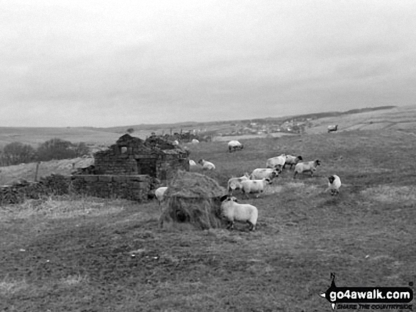
Send us your photographs and pictures on, of, or from Thieveley Pike
If you would like to add your walk photographs and pictures featuring views from, on or of Thieveley Pike to this page, please send them as email attachments (configured for any computer) along with your name to:
and we shall do our best to publish them.
(Guide Resolution = 300dpi. At least = 660pixels (wide) x 440 pixels (high).)

You can also submit photos via our Facebook Page.
NB. Please indicate where each photo was taken and whether you wish us to credit your photos with a Username or your First Name/Last Name.
Not familiar with this top?


