The 30 nearest, easy-to-follow, circular walks, routes & maps to UK Postcode LN13

The thirty nearest, easy-to-follow, circular walks, routes & maps to UK Postcode LN13 in Walk Grade Order

Walk 1 Walking Bootprint Icon

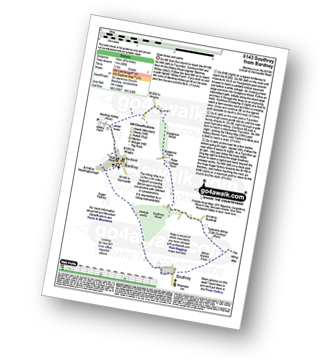
Walk li143 Southrey from Bardney

Quiet lanes and paths

Download GPS Waypoint Data for walk li143
Download GPX Waypoint Data for walk li143
Download Map and Route Details for walk li143

Vital Statistics:

Length:8.75 miles (14 km)
Ascent:36ft (11m)
Time:3 hrs
Grade:Grade 1 Walking Easy
Walk 2 Walking Bootprint Icon

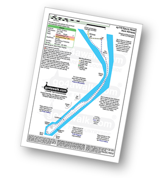
Walk ey119 Spurn Head from Kilnsea

A bird watcher's paradise

Download GPS Waypoint Data for walk ey119
Download GPX Waypoint Data for walk ey119
Download Map and Route Details for walk ey119

Vital Statistics:

Length:9 miles (14.5 km)
Ascent:33ft (10m)
Time:3½ hrs
Grade:Grade 2 Walking Easy
Walk 3 Walking Bootprint Icon

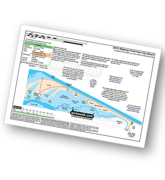
Walk nf151 Blakeney Point from Cley Beach

Beautiful coastal walk

Download GPS Waypoint Data for walk nf151
Download GPX Waypoint Data for walk nf151
Download Map and Route Details for walk nf151

Vital Statistics:

Length:7.5 miles (12 km)
Ascent:252ft (77m)
Time:3 hrs
Grade:Grade 2 Walking Easy
Walk 4 Walking Bootprint Icon

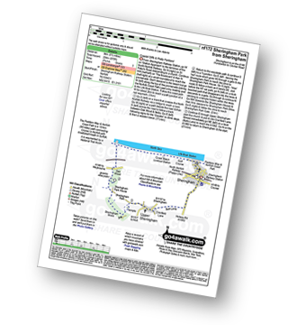
Walk nf172 Sheringham Park from Sheringham

Coastal Cliffs and Pretty Parkland

Download GPS Waypoint Data for walk nf172
Download GPX Waypoint Data for walk nf172
Download Map and Route Details for walk nf172

Vital Statistics:

Length:5.5 miles (9 km)
Ascent:670ft (204m)
Time:2.75hrs
Grade:Grade 3 Walking Easy
Walk 5 Walking Bootprint Icon

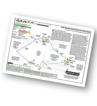
Walk le102 Sproxton and Coston from Buckminster

Quiet tracks and paths with fine views

Download GPS Waypoint Data for walk le102
Download GPX Waypoint Data for walk le102
Download Map and Route Details for walk le102

Vital Statistics:

Length:7.25 miles (11.5 km)
Ascent:515ft (157m)
Time:3 hrs
Grade:Grade 3 Walking Easy
Walk 6 Walking Bootprint Icon

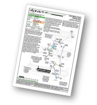
Walk nf137 Metton from Felbrigg Hall

A fine country house and quiet farmland

Download GPS Waypoint Data for walk nf137
Download GPX Waypoint Data for walk nf137
Download Map and Route Details for walk nf137

Vital Statistics:

Length:6 miles (9.5 km)
Ascent:322ft (98m)
Time:2½ hrs
Grade:Grade 2 Walking Easy
Walk 7 Walking Bootprint Icon

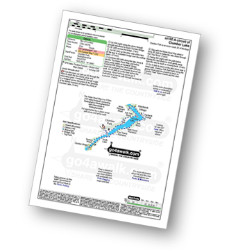
Walk nt100 A circuit of Clumber Lake

Lovely lakeside stroll

Download GPS Waypoint Data for walk nt100
Download GPX Waypoint Data for walk nt100
Download Map and Route Details for walk nt100

Vital Statistics:

Length:4.5 miles (7 km)
Ascent:407ft (124m)
Time:2 hrs
Grade:Grade 2 Walking Easy
Walk 8 Walking Bootprint Icon

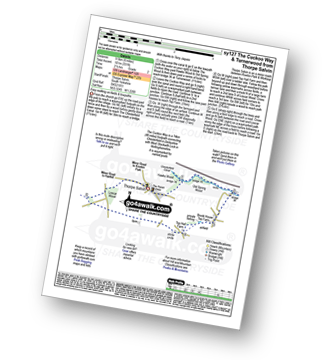
Walk sy127 The Cuckoo Way and Turnerwood from Thorpe Salvin

Easy walking on fields and towpaths

Download GPS Waypoint Data for walk sy127
Download GPX Waypoint Data for walk sy127
Download Map and Route Details for walk sy127

Vital Statistics:

Length:6 miles (9.5 km)
Ascent:331ft (101m)
Time:2½ hrs
Grade:Grade 2 Walking Easy
Walk 9 Walking Bootprint Icon

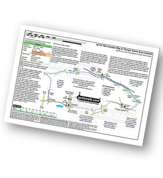
Walk sy114 The Cuckoo Way and Thorpe Salvin from Harthill

Easy walking on fields and towpaths

Download GPS Waypoint Data for walk sy114
Download GPX Waypoint Data for walk sy114
Download Map and Route Details for walk sy114

Vital Statistics:

Length:8.25 miles (13 km)
Ascent:404ft (123m)
Time:3½ hrs
Grade:Grade 3 Walking Easy
Walk 10 Walking Bootprint Icon

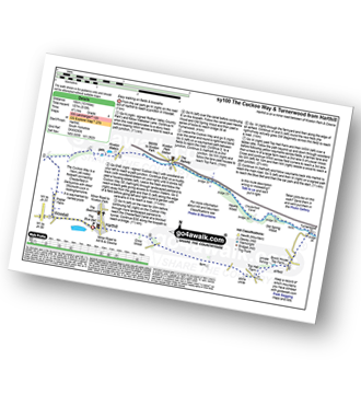
Walk sy100 The Cuckoo Way and Turnerwood from Harthill

Easy walking on fields and towpaths

Download GPS Waypoint Data for walk sy100
Download GPX Waypoint Data for walk sy100
Download Map and Route Details for walk sy100

Vital Statistics:

Length:10 miles (16 km)
Ascent:515ft (157m)
Time:4½ hrs
Grade:Grade 4 Walking Moderate
Walk 11 Walking Bootprint Icon

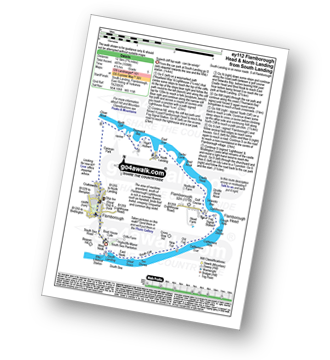
Walk ey112 Flamborough Head and North Landing from South Landing

Superb cliff top walk - can be windy!

Download GPS Waypoint Data for walk ey112
Download GPX Waypoint Data for walk ey112
Download Map and Route Details for walk ey112

Vital Statistics:

Length:7.75 miles (12.5 km)
Ascent:1,598ft (487m)
Time:4½ hrs
Grade:Grade 5 Walking Moderate
Walk 12 Walking Bootprint Icon

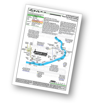
Walk ey100 Flamborough Head from South Landing

Superb cliff top walk - can be windy!

Download GPS Waypoint Data for walk ey100
Download GPX Waypoint Data for walk ey100
Download Map and Route Details for walk ey100

Vital Statistics:

Length:5 miles (8 km)
Ascent:683ft (208m)
Time:2½ hrs
Grade:Grade 3 Walking Easy
Walk 13 Walking Bootprint Icon

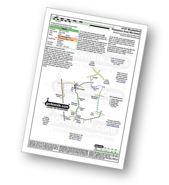
Walk nf127 Mucklefield Plantation from Worstead

Quiet lanes and country paths

Download GPS Waypoint Data for walk nf127
Download GPX Waypoint Data for walk nf127
Download Map and Route Details for walk nf127

Vital Statistics:

Length:4.25 miles (6.5 km)
Ascent:157ft (2,348m)
Time:1.75hrs
Grade:Grade 1 Walking Easy
Walk 14 Walking Bootprint Icon

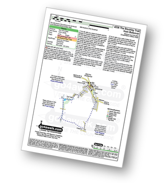
Walk d336 The Stockley Trail from Bolsover

Family walk with good views

Download GPS Waypoint Data for walk d336
Download GPX Waypoint Data for walk d336
Download Map and Route Details for walk d336

Vital Statistics:

Length:4.75 miles (7 km)
Ascent:394ft (120m)
Time:2 hrs
Grade:Grade 2 Walking Easy
Walk 15 Walking Bootprint Icon

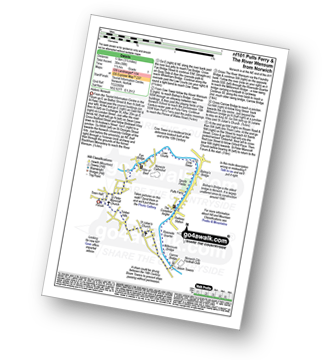
Walk nf101 Pulls Ferry and The River Wensum from Norwich

Historic Norwich

Download GPS Waypoint Data for walk nf101
Download GPX Waypoint Data for walk nf101
Download Map and Route Details for walk nf101

Vital Statistics:

Length:3.5 miles (5.5 km)
Ascent:98ft (30m)
Time:1½ hrs
Grade:Grade 1 Walking Easy
Walk 16 Walking Bootprint Icon

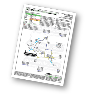
Walk nf196 How Hill from Ludham

Quiet country lanes

Download GPS Waypoint Data for walk nf196
Download GPX Waypoint Data for walk nf196
Download Map and Route Details for walk nf196

Vital Statistics:

Length:5.25 miles (8.5 km)
Ascent:43ft (13m)
Time:2 hrs
Grade:Grade 1 Walking Easy
Walk 17 Walking Bootprint Icon

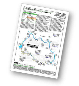
Walk nf117 The River Bure from South Walsham Broad (Pilson Green)

Lovely riverside stroll

Download GPS Waypoint Data for walk nf117
Download GPX Waypoint Data for walk nf117
Download Map and Route Details for walk nf117

Vital Statistics:

Length:7.75 miles (12.5 km)
Ascent:135ft (41m)
Time:3 hrs
Grade:Grade 2 Walking Easy
Walk 18 Walking Bootprint Icon

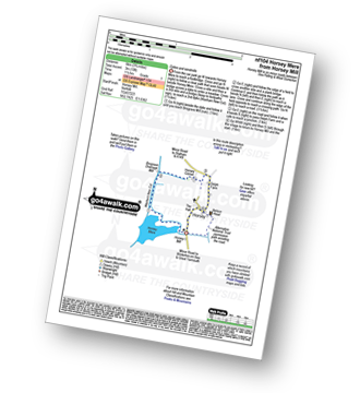
Walk nf104 Horsey Mere from Horsey

Dykes and windmills

Download GPS Waypoint Data for walk nf104
Download GPX Waypoint Data for walk nf104
Download Map and Route Details for walk nf104

Vital Statistics:

Length:3.5 miles (5.5 km)
Ascent:91ft (28m)
Time:1½ hrs
Grade:Grade 1 Walking Easy
Walk 19 Walking Bootprint Icon

Walk d181 Hob Hurst's House and Beeley Moor from Hell Bank Plantation, Beeley

Huge views - but no paths on the top

Download GPS Waypoint Data for walk d181
Download GPX Waypoint Data for walk d181
Download Map and Route Details for walk d181

Vital Statistics:

Length:4 miles (6.5 km)
Ascent:400ft (122m)
Time:2 hrs
Grade:Grade 2 Walking Easy
Walk 20 Walking Bootprint Icon

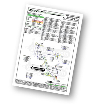
Walk d248 Baslow Edge and Birchen Edge from The Robin Hood (Baslow)

Superb Derbyshire views from two edges

Download GPS Waypoint Data for walk d248
Download GPX Waypoint Data for walk d248
Download Map and Route Details for walk d248

Vital Statistics:

Length:6.25 miles (10 km)
Ascent:1,103ft (336m)
Time:3½ hrs
Grade:Grade 4 Walking Moderate
Walk 21 Walking Bootprint Icon

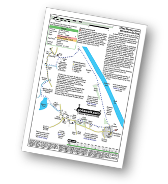
Walk nf145 Horsey from Winterton-on-Sea

Delightful waterside walk

Download GPS Waypoint Data for walk nf145
Download GPX Waypoint Data for walk nf145
Download Map and Route Details for walk nf145

Vital Statistics:

Length:9 miles (14.5 km)
Ascent:151ft (46m)
Time:3½ hrs
Grade:Grade 3 Walking Easy
Walk 22 Walking Bootprint Icon

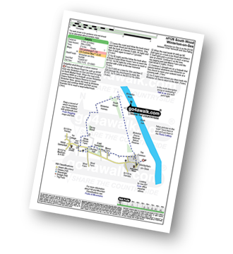
Walk nf126 South Wood from Winterton-on-Sea

Delightful stroll through a nature reserve

Download GPS Waypoint Data for walk nf126
Download GPX Waypoint Data for walk nf126
Download Map and Route Details for walk nf126

Vital Statistics:

Length:6 miles (9.5 km)
Ascent:128ft (39m)
Time:2½ hrs
Grade:Grade 1 Walking Easy
Walk 23 Walking Bootprint Icon

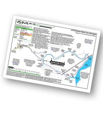
Walk nf133 Breydon Water from Halvergate

Remote marshland and riverside walk

Download GPS Waypoint Data for walk nf133
Download GPX Waypoint Data for walk nf133
Download Map and Route Details for walk nf133

Vital Statistics:

Length:9.25 miles (14.5 km)
Ascent:229ft (70m)
Time:3½ hrs
Grade:Grade 2 Walking Easy
Walk 24 Walking Bootprint Icon

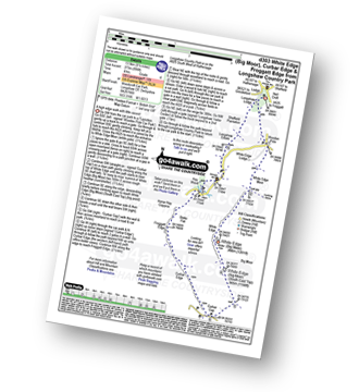
Walk d303 White Edge (Big Moor), Curbar Edge and Froggatt Edge from Longshaw Country Park

A high edge walk with little ascent

Download GPS Waypoint Data for walk d303
Download GPX Waypoint Data for walk d303
Download Map and Route Details for walk d303

Vital Statistics:

Length:8.5 miles (13.5 km)
Ascent:896ft (273m)
Time:4 hrs
Grade:Grade 4 Walking Moderate
Walk 25 Walking Bootprint Icon

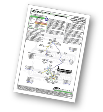
Walk d281 Higger Tor and Burbage Rocks from Longshaw Country Park

A pleasant stroll with superb views

Download GPS Waypoint Data for walk d281
Download GPX Waypoint Data for walk d281
Download Map and Route Details for walk d281

Vital Statistics:

Length:5.5 miles (8.5 km)
Ascent:1,007ft (307m)
Time:3 hrs
Grade:Grade 4 Walking Moderate
Walk 26 Walking Bootprint Icon

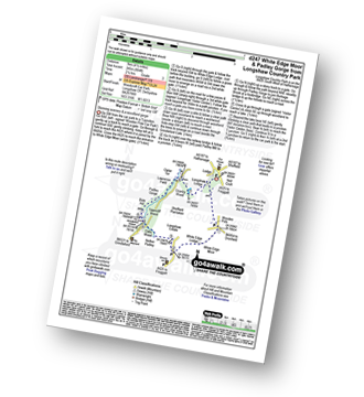
Walk d247 White Edge Moor and Padley Gorge from Longshaw Country Park

Stunning scenery

Download GPS Waypoint Data for walk d247
Download GPX Waypoint Data for walk d247
Download Map and Route Details for walk d247

Vital Statistics:

Length:4.5 miles (7 km)
Ascent:804ft (245m)
Time:2½ hrs
Grade:Grade 3 Walking Easy
Walk 27 Walking Bootprint Icon

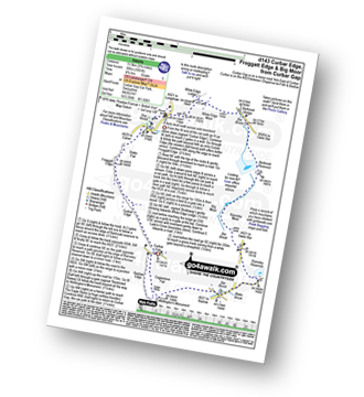
Walk d143 Curbar Edge, Froggatt Edge and Big Moor from Curbar Gap

A fairly level walk across wild moorland

Download GPS Waypoint Data for walk d143
Download GPX Waypoint Data for walk d143
Download Map and Route Details for walk d143

Vital Statistics:

Length:9.75 miles (15.5 km)
Ascent:1,001ft (305m)
Time:4.75hrs
Grade:Grade 5 Walking Moderate
Walk 28 Walking Bootprint Icon

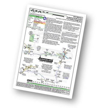
Walk d313 Winster, Youlgreave and Birchover from Darley Bridge

Superb walk full of variety

Download GPS Waypoint Data for walk d313
Download GPX Waypoint Data for walk d313
Download Map and Route Details for walk d313

Vital Statistics:

Length:12.75 miles (20.5 km)
Ascent:1,956ft (596m)
Time:6.75hrs
Grade:Grade 6 Walking Moderate
Walk 29 Walking Bootprint Icon

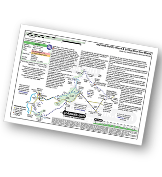
Walk d125 Hob Hurst's House and Beeley Moor from Beeley

Huge views - but no paths on the top

Download GPS Waypoint Data for walk d125
Download GPX Waypoint Data for walk d125
Download Map and Route Details for walk d125

Vital Statistics:

Length:8.25 miles (13 km)
Ascent:1,122ft (342m)
Time:4.25hrs
Grade:Grade 4 Walking Moderate
Walk 30 Walking Bootprint Icon

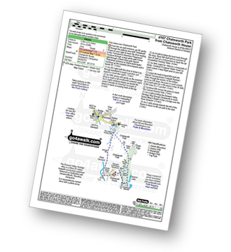
Walk d167 Chatsworth Park from Chatsworth House

The Chatsworth Park Highlights

Download GPS Waypoint Data for walk d167
Download GPX Waypoint Data for walk d167
Download Map and Route Details for walk d167

Vital Statistics:

Length:3.5 miles (5.5 km)
Ascent:528ft (161m)
Time:2 hrs
Grade:Grade 2 Walking Easy

Do not miss our pick of the Best Walks in the UK


Follow go4awalk.com on Twitter Follow go4awalk.com on Facebook