Walk nf127 Mucklefield Plantation from Worstead
This 4¼ mile, Grade 1 (Easy), easy-to-follow, hand-crafted walk, complete with GPS Waypoints, starts at Worstead & will take about 1¾ hrs to complete.
   |
Vital Statistics:
| Length: | 4¼mls (6.5km) |
| Ascent: | 157ft (2,348m) |
| Time: | 1¾hrs |
| Grade: |  |

Route outline for walk nf127:
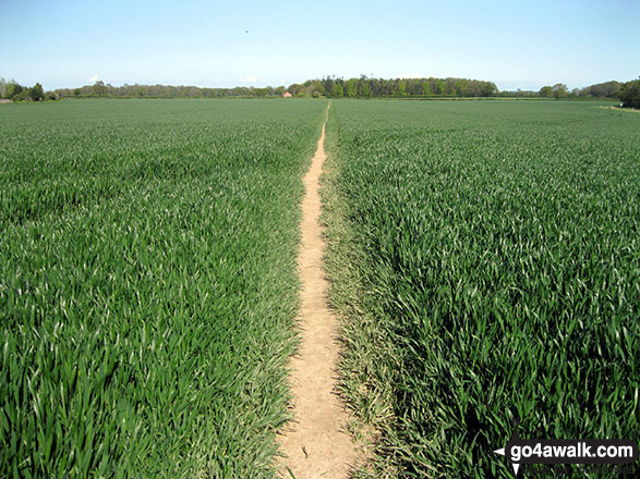
Worstead - Worstead Belt - Worstead Hall Farm - Chestnut Belt - Gothic Wood - Upper Street - Carman's Lane - Mucklefield Plantation - Dairyhouse Barn - Green Lane - Berard's Road - Worstead
Points of Interest/Notes on this walk:
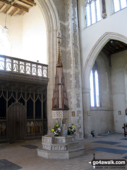
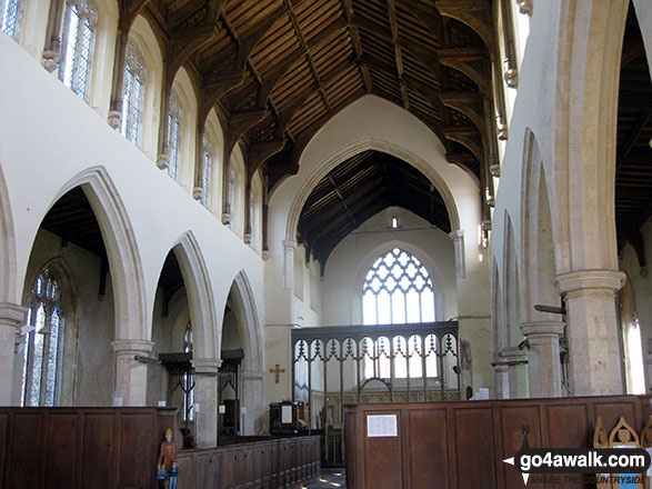
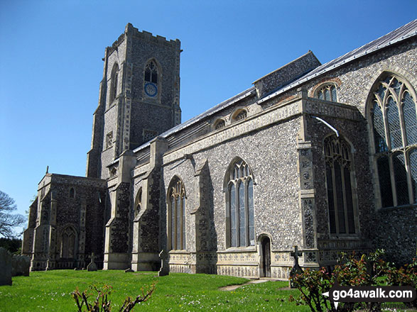
Built with the proceeds from the thriving Norfolk Wool Trade, St Mary's Church in Worstead dates from the 15th century & towers over the village or Worstead. It has a stunning hammer-beam roof supported on wall corbels & a remarkable late medieval screen, inserted in the early 16th century. Make sure you go inside & take a look.
Peaks, Summits and Tops reached on this walk:
 0 English Mountains |
 0 Wainwrights |
 0 English Nuttalls |
 0 English Deweys |
 0 Wainwright Outlying Fells |
 0 Marilyns |
 0 Bridgets |
You can find this walk and other nearby walks on these unique Interactive Walk Planning Maps:
(worth a look if you're new to go4awalk.com & have never seen one of these before.)
1:25,000 scale OS Explorer Map (orange/yellow covers):
1:50,000 scale OS Landranger Map (pink/magenta covers):
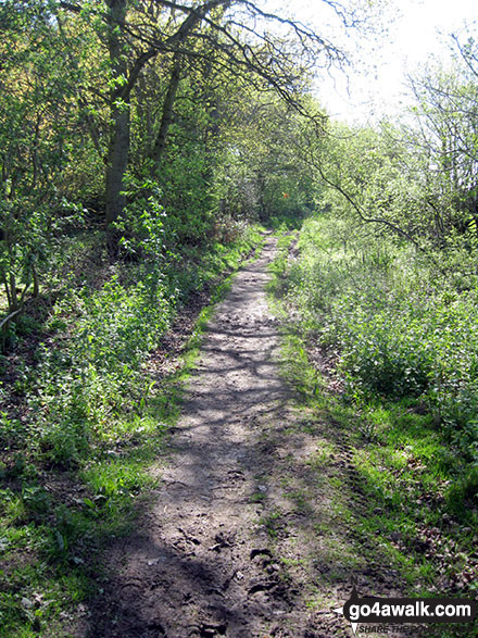
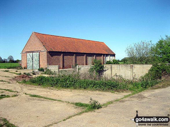
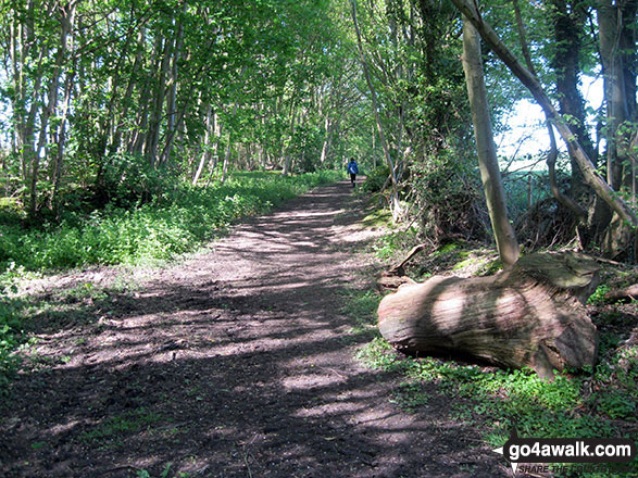
Some Photos and Pictures from Walk nf127 Mucklefield Plantation from Worstead
In no particular order . . .


Send us your photographs and pictures from your walks and hikes
We would love to see your photographs and pictures from walk nf127 Mucklefield Plantation from Worstead. Send them in to us as email attachments (configured for any computer) along with your name and where the picture was taken to:
and we shall do our best to publish them.
(Guide Resolution = 300dpi. At least = 660 pixels (wide) x 440 pixels (high).)

You can also submit photos from walk nf127 Mucklefield Plantation from Worstead via our Facebook Page.
NB. Please indicate where each photo was taken.
To contribute to go4awalk.com or to contact us about anything at all - see Talk To Us.
For help see Help.
go4awalk.com and go4awalk.co.uk are registered trademarks of TMDH Limited.
Copyright © 2000-2026 TMDH Limited. All rights reserved.
Copyright Terms & Conditions Privacy Statement
A - Z Walks Home Log On/Accounts Photo Gallery Walk Ideas and Collections Fell Facts Hill Skills Walking Questions and Answers Your Stories News Competitions Product Reviews/Gear Tests Walking Gear Guides Peaks and Mountains Peak Bagging Find New Walking Friends Camping GPS Waypoints for Walking Contents Walk Search Talk To Us go4awalk.com Help Free Example Walks Newsletter


