   |
Vital Statistics:
| Length: | 3½mls (5.5km) |
| Ascent: | 91ft (28m) |
| Time: | 1½hrs |
| Grade: |  |
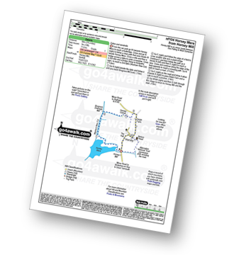
Route outline for walk nf104:
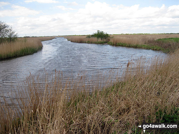
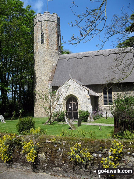
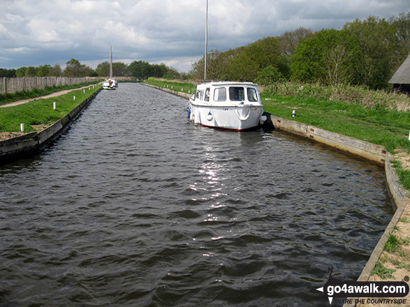
Horsey Mill - Horsey Mere - Waxham New Cut - Brograve Drainage Mill - Horsey Corner - Horsey church - Horsey - National Trust Permissive Path - Horsey Mill
Points of Interest/Notes on this walk:
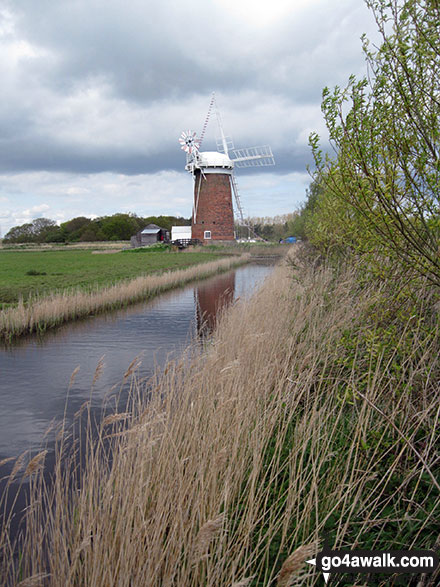
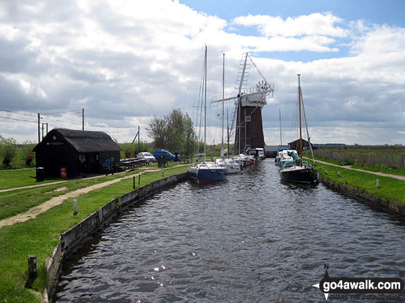
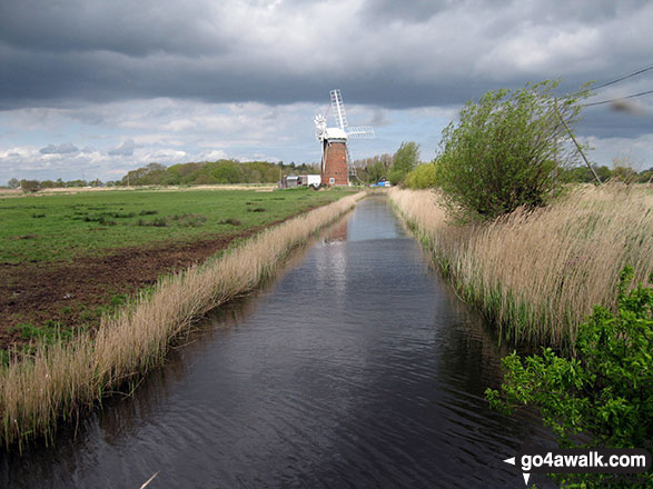
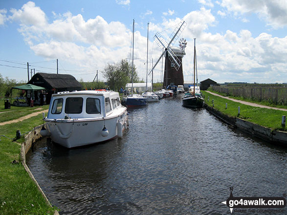
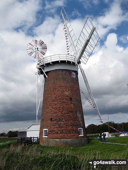
Built in 1912 & restored in 2019, Horsey Mill Windpump is the largest windpump to be found in the Norfolk Broads. Make sure you climb the 61 steps to the top for one of the most spectacular views in the area.
You can find this walk and other nearby walks on these unique free-to-access Interactive Walk Planning Maps:
1:25,000 scale OS Explorer Map (orange/yellow covers):
1:50,000 scale OS Landranger Map (pink/magenta covers):
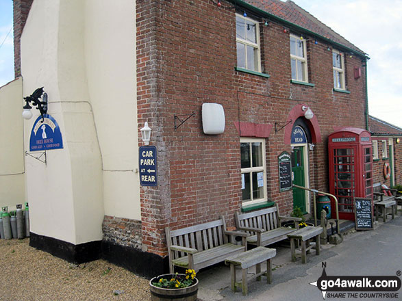
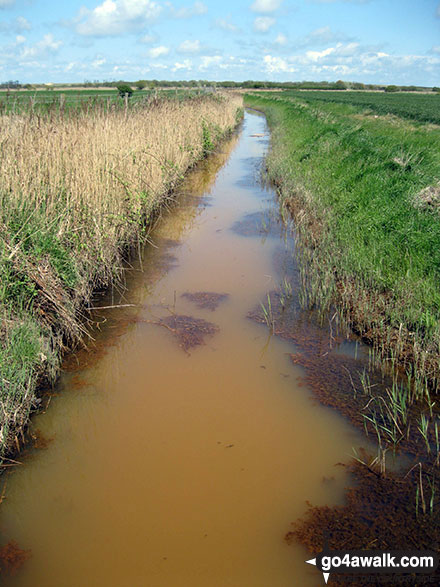
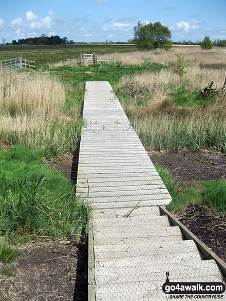
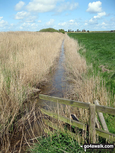
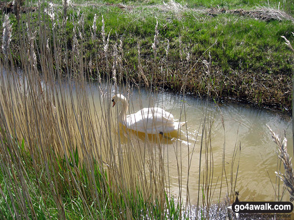
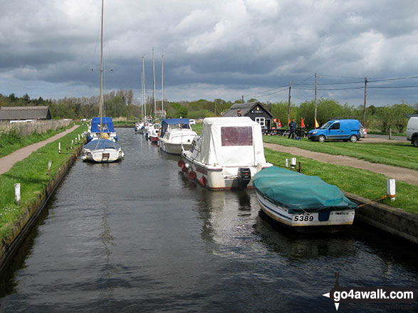
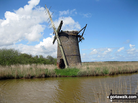
Some Photos and Pictures from Walk nf104 Horsey Mere from Horsey
In no particular order . . .
Send us your photographs and pictures from your walks and hikes
We would love to see your photographs and pictures from walk nf104 Horsey Mere from Horsey. Send them in to us as email attachments (configured for any computer) along with your name and where the picture was taken to:
and we shall do our best to publish them.
(Guide Resolution = 300dpi. At least = 660 pixels (wide) x 440 pixels (high).)

You can also submit photos from walk nf104 Horsey Mere from Horsey via our Facebook Page.
NB. Please indicate where each photo was taken.


