   |
Vital Statistics:
| Length: | 5¼mls (8.5km) |
| Ascent: | 43ft (13m) |
| Time: | 2hrs |
| Grade: |  |
Route outline for walk nf196:
Ludham - Lovers Lane - Whitegates - How Hill National Nature Reserve - River Ant - Turf Fen Drainage Mill - Boardman's Drainage Mill - Clayrack Drainage Mill - The Mill House - Crome's Farm - Crome's Broad - Grove Farm - Waterpiece Lane - Catfield Road - Ludham
Points of Interest/Notes on this walk:
How Hill National Nature Reserve forms a large area of established fen within the River Ant valley. It is remarkable for its variety of Broads habitats. The 'Electric Eel' is an electric passenger boat on which takes summer visitors on a trip through the maze of reed-fringed dykes, not normally accessible to the public.
You can find this walk and other nearby walks on these unique free-to-access Interactive Walk Planning Maps:
1:25,000 scale OS Explorer Map (orange/yellow covers):
1:50,000 scale OS Landranger Map (pink/magenta covers):
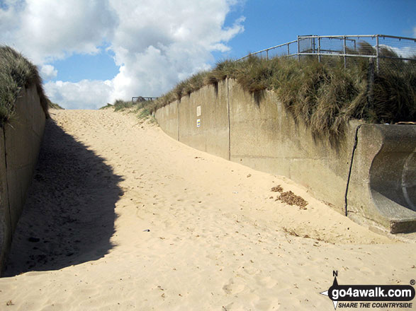
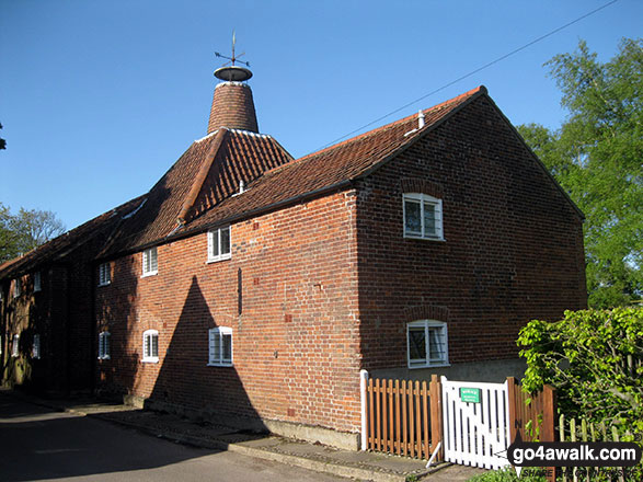
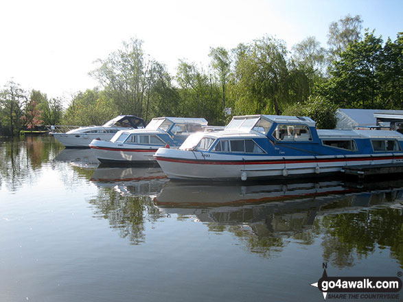
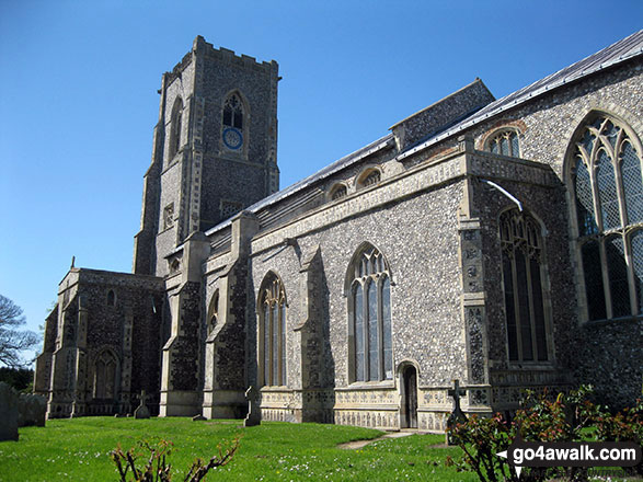
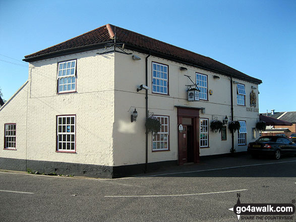
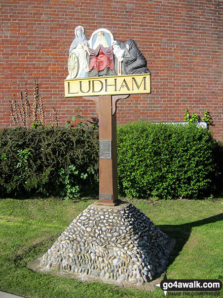
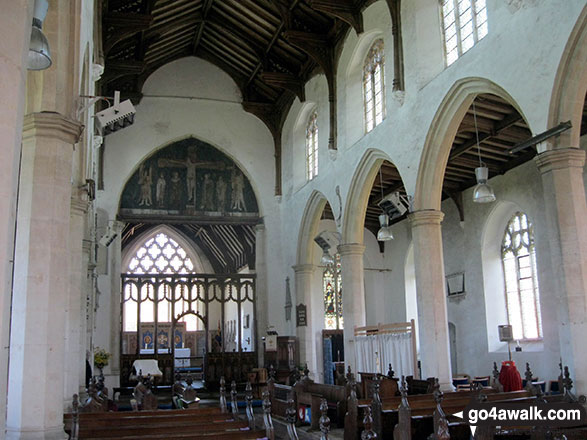
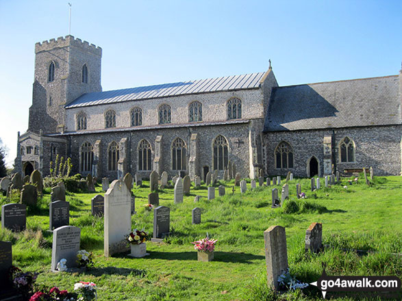
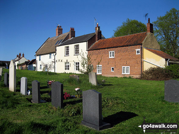
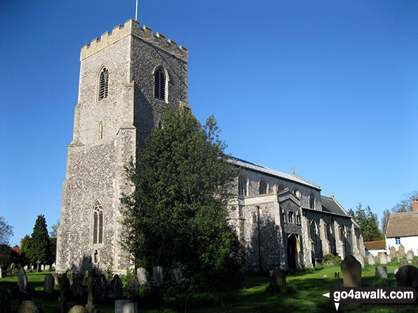
Some Photos and Pictures from Walk nf196 How Hill from Ludham
In no particular order . . .
Send us your photographs and pictures from your walks and hikes
We would love to see your photographs and pictures from walk nf196 How Hill from Ludham. Send them in to us as email attachments (configured for any computer) along with your name and where the picture was taken to:
and we shall do our best to publish them.
(Guide Resolution = 300dpi. At least = 660 pixels (wide) x 440 pixels (high).)

You can also submit photos from walk nf196 How Hill from Ludham via our Facebook Page.
NB. Please indicate where each photo was taken.


