   |
Vital Statistics:
| Length: | 9¾mls (15.5km) |
| Ascent: | 1,001ft (305m) |
| Time: | 4¾hrs |
| Grade: |  |
Route outline for walk d143:
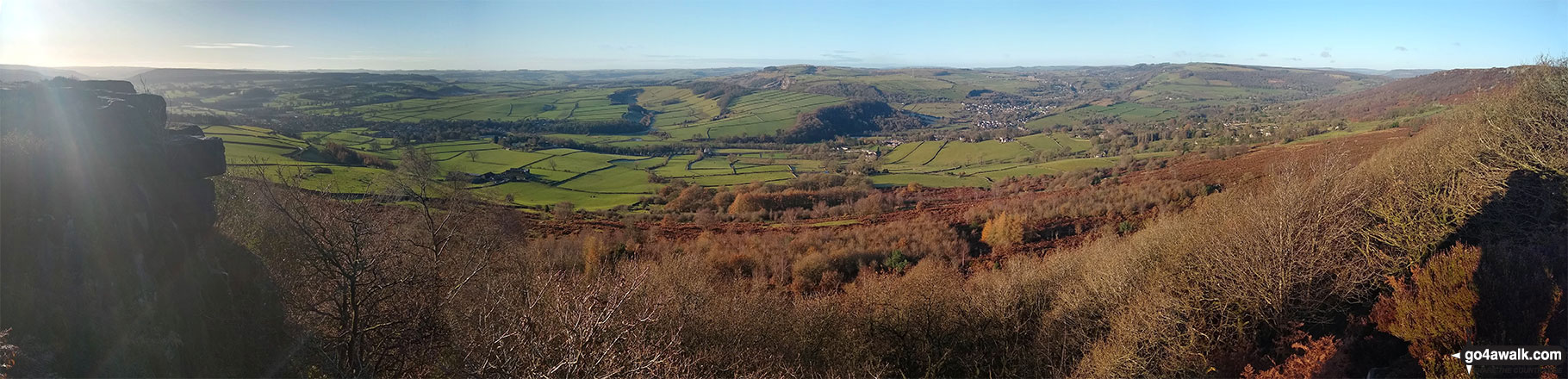
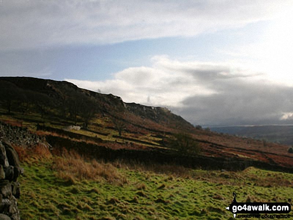
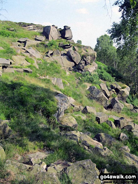
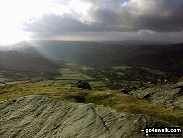
Curbar Gap - Curbar Edge - Froggatt Edge - Hay Wood - Longshaw (A621) - White Edge Lodge - White Edge Moor - Barbrook Bridge - Barbrook Reservoir - Bar Brook - Big Moor - Ramsley Moor - Ramsley Reservoir - Blake Brook - Wellington's Monument - Eagle Stone - Eaglestone Flat - Baslow Edge - Curbar Gap
You can find this walk and other nearby walks on these unique free-to-access Interactive Walk Planning Maps:
1:25,000 scale OS Explorer Map (orange/yellow covers):
1:50,000 scale OS Landranger Map (pink/magenta covers):
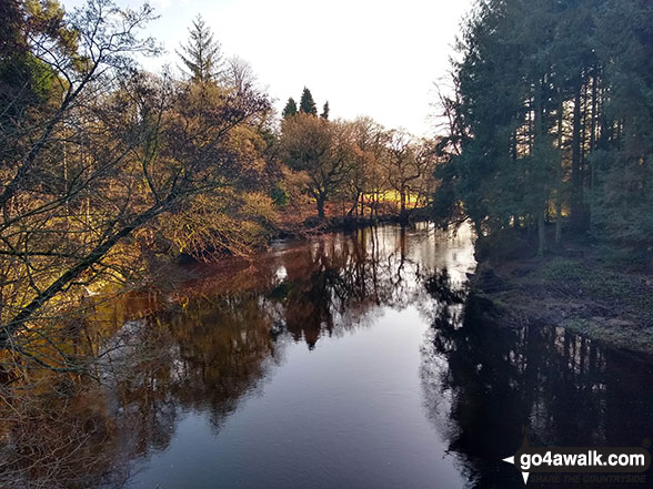
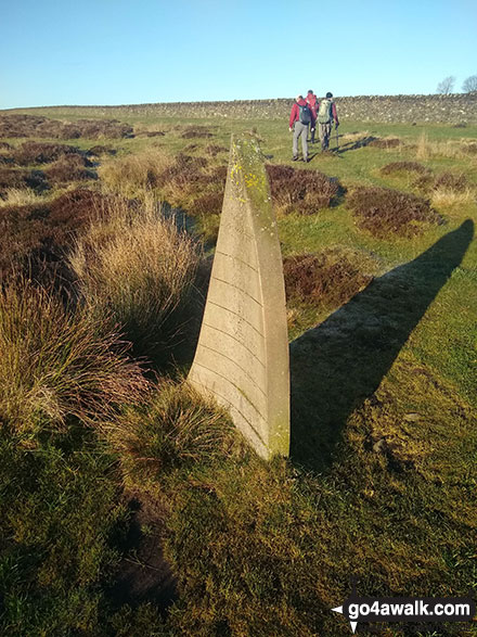
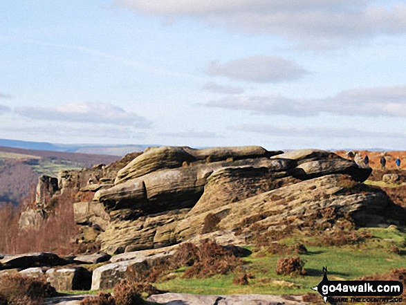
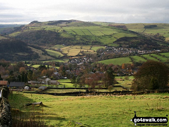
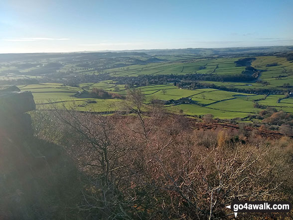
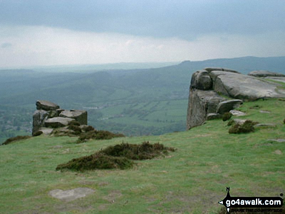
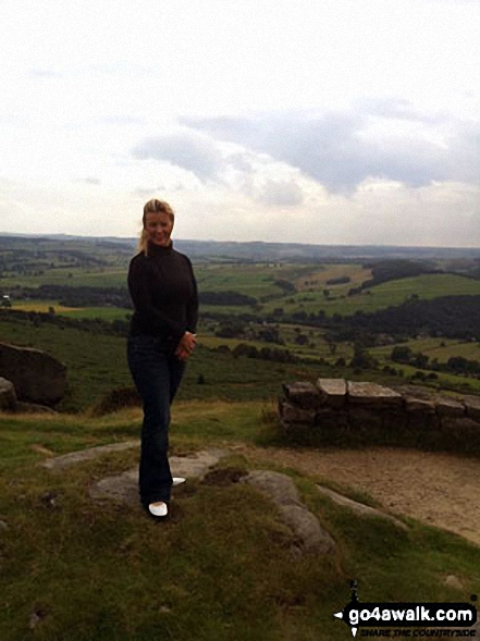
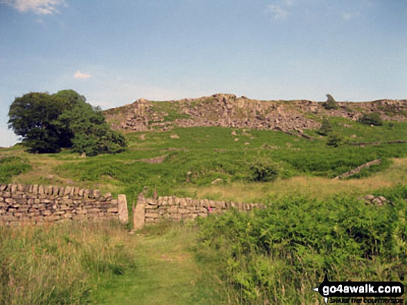
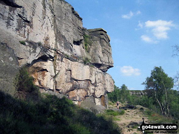
Some Photos and Pictures from Walk d143 Curbar Edge, Froggatt Edge and Big Moor from Curbar Gap
In no particular order . . .
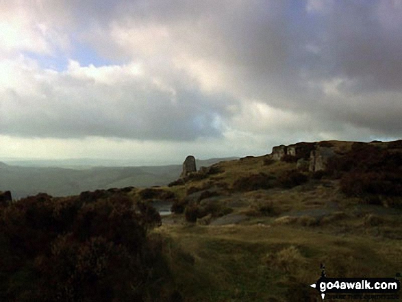
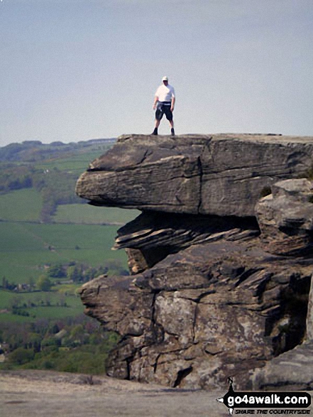
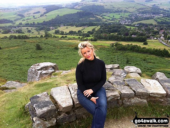
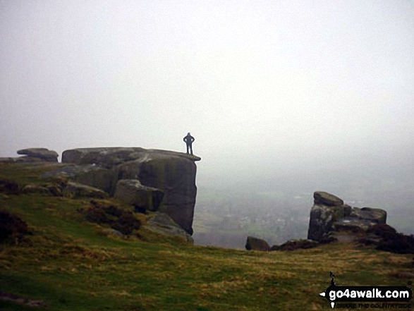
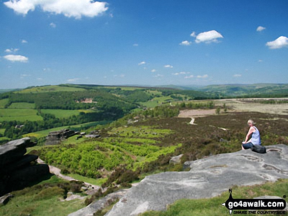
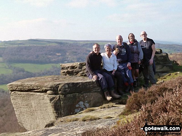
David Morecroft and friends from the Jubilee Walkers on Curbar Edge above Baslow
. . . load all 45 walk photos from Walk d143 Curbar Edge, Froggatt Edge and Big Moor from Curbar Gap
Send us your photographs and pictures from your walks and hikes
We would love to see your photographs and pictures from walk d143 Curbar Edge, Froggatt Edge and Big Moor from Curbar Gap. Send them in to us as email attachments (configured for any computer) along with your name and where the picture was taken to:
and we shall do our best to publish them.
(Guide Resolution = 300dpi. At least = 660 pixels (wide) x 440 pixels (high).)

You can also submit photos from walk d143 Curbar Edge, Froggatt Edge and Big Moor from Curbar Gap via our Facebook Page.
NB. Please indicate where each photo was taken.


