Mountain (Hewitt), Wainwright, Nuttall, Marilyn & OS Trig Point Icon

High Street
828m (2717ft)

The Far Eastern Fells, The Lake District, Cumbria, England

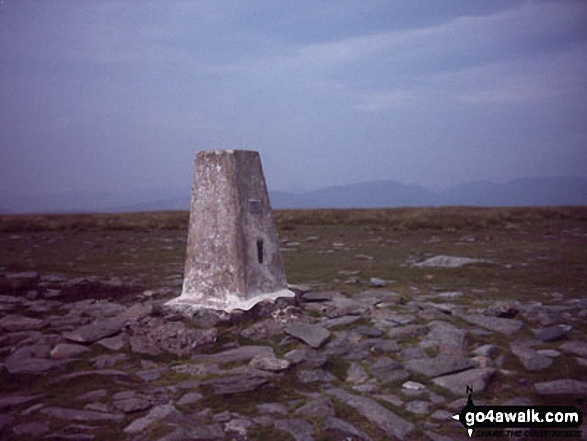
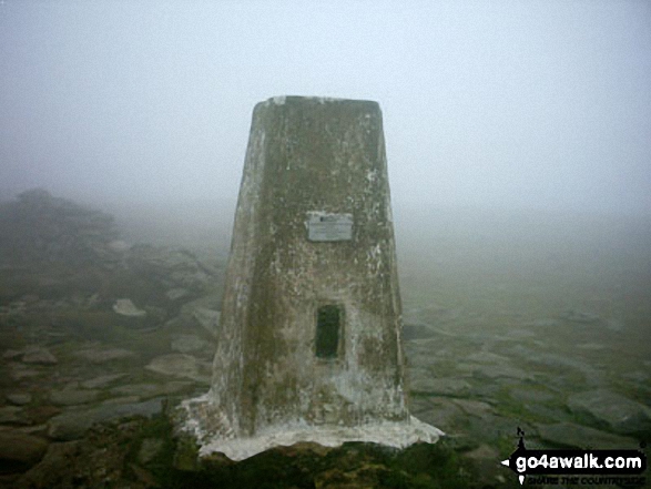
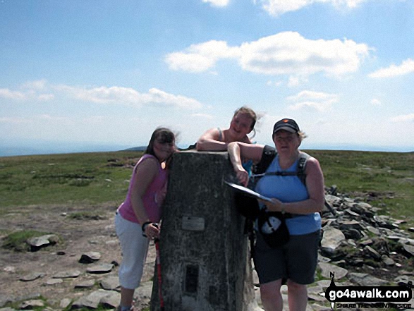
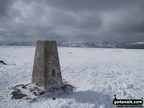
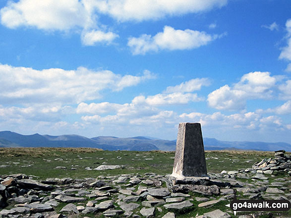
The summit of High Street is marked by an Ordnance Survey Trig Point.


Record High Street as Bagged, Climbed & Conquered


English Mountain Icon

English Mountain
32nd highest in England,
61st in England & Wales

Wainwright Icon

Wainwright
(No. 25)

English Nuttall Icon

English Nuttall
38th highest in England,
70th in England & Wales

English Marilyn Icon

English Marilyn
11th highest in England,
345th highest in Great Britain

English Trig Point Icon


English Trig Point (Pillar)

Walk High Street walking UK Mountains in The Far Eastern Fells The Lake District National Park Cumbria, England

High Street Summit

Photo: William Ringwood

You can find High Street & all the walks that climb it on these unique free-to-access Interactive Walk Planning Maps: (click/TAP to select)

The Lake District National Park


1:25,000 scale OS Explorer Map (the ones with orange/yellow covers):

OL5 The English Lakes - North Eastern area


1:50,000 scale OS Landranger Map (the ones with pink/magenta covers):

90 Penrith & Keswick, Ambleside


See High Street and the surrounding tops on our free-to-access 'Google Style' Peak Bagging Maps:

See High Street and the surrounding tops on our downloadable PDF Peak Bagging Maps:

NB: Whether you print off a copy on to paper or download it to your phone, these PDF Peak Baggers Maps will prove incredibly useful when your are up there on the tops and you cannot get a phone signal!


Not familiar with High Street?

See the location of High Street and all 7 walks that climb it on an interactive Google Map


You can walk to the top of High Street by using any of these 7 easy‑to‑follow route maps:
Walking Boot Print Icon

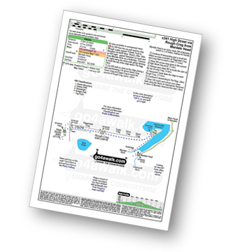
Walk c341 High Street via Rough Crag (Riggindale) from Mardale Head

An easy scramble to unsurpassed views

Walk GPS Icon
Walk GPX Icon
Walk PDF Icon

Vital Statistics:

Length: 6ml (9.5km)
Ascent:2,202ft (671m)
Time:4½ hrs
Grade:Walk Grade 5 Icon (Moderate)
Walking Boot Print Icon

Walk c276 High Street and Harter Fell from Mardale Head

An easy scramble to unsurpassed views

Walk GPS Icon
Walk GPX Icon
Walk PDF Icon

Vital Statistics:

Length: 7.25ml (11.5km)
Ascent:2,745ft (837m)
Time:5½ hrs
Grade:Walk Grade 7 Icon (Hard)
Walking Boot Print Icon

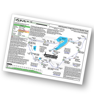
Walk c362 Branstree and High Street from Mardale Head

Stunning Haweswater

Walk GPS Icon
Walk GPX Icon
Walk PDF Icon

Vital Statistics:

Length: 11.25ml (18km)
Ascent:3,436ft (1,047m)
Time:7½ hrs
Grade:Walk Grade 7 Icon (Hard)
Walking Boot Print Icon

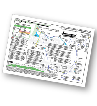
Walk c128 The Hayswater Round from Hartsop

Popular mountain walk

Walk GPS Icon
Walk GPX Icon
Walk PDF Icon

Vital Statistics:

Length: 11.25ml (18km)
Ascent:3,843ft (1,171m)
Time:8 hrs
Grade:Walk Grade 8 Icon (Hard)
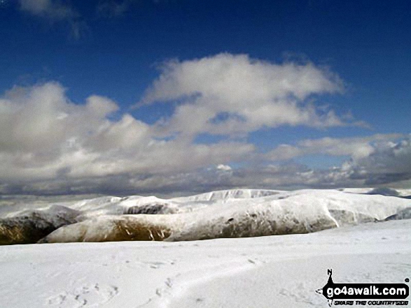
Walking Boot Print Icon

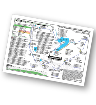
Walk c251 The Mardale Head Horizon from Mardale Head

Stunning Haweswater

Walk GPS Icon
Walk GPX Icon
Walk PDF Icon

Vital Statistics:

Length: 12.5ml (20km)
Ascent:3,814ft (1,162m)
Time:8½ hrs
Grade:Walk Grade 8 Icon (Hard)
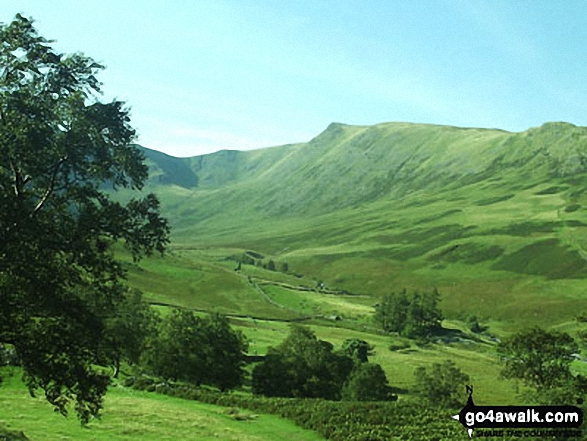
Walking Boot Print Icon

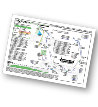
Walk c272 High Street and Angletarn Pikes from Brothers Water

Fantastic high level ridge walk

Walk GPS Icon
Walk GPX Icon
Walk PDF Icon

Vital Statistics:

Length: 12.5ml (20km)
Ascent:3,889ft (1,185m)
Time:8½ hrs
Grade:Walk Grade 8 Icon (Hard)
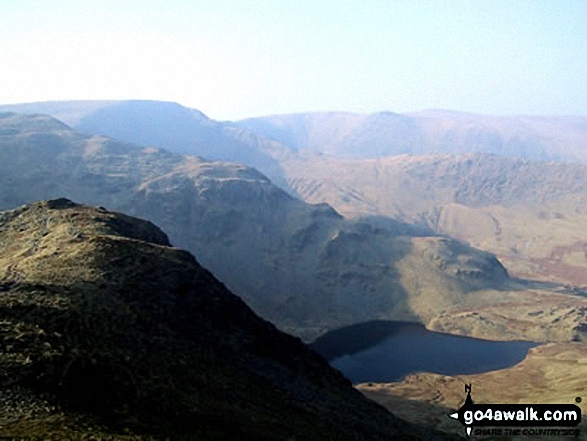
Walking Boot Print Icon

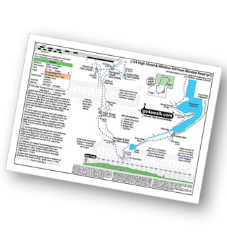
Walk c114 High Street from Mardale Head

Superb high level route with great views

Walk GPS Icon
Walk GPX Icon
Walk PDF Icon

Vital Statistics:

Length: 14.5ml (23km)
Ascent:3,364ft (1,025m)
Time:8½ hrs
Grade:Walk Grade 8 Icon (Hard)
Other walkers who hiked, climbed, bagged and summited High Street Fellow go4awalkers who have already walked, climbed, summited & bagged High Street

Sarah Moore walked up High Street on June 9th, 2024 [from/via/route] 5 Valleys From Ambleside >> Troutbeck >> up & over to Hayeswater [with] 599 other nutters [weather] Great conditions - clear for the most & dry but cool - No food inside me because of nerves & have never been so ill on a mountain nor felt so dizzy & want to sleep. Stopped at first checkpoint but will go again. Incredible views from this one!

James Hughes climbed High Street on September 18th, 2024 [from/via/route] c251 The Mardale Head Horizon from Mardale Head [weather] Beautiful clear warm day. - Walked in reverse. Climbed from Kidsty Pike. Tired after walk preceding day. Included Adam's Seat. Descent from Selside Pike boggy on Old Corpse Road. Poor expensive pint of Mary Jane at Haweswater Hotel.

Martin Hartshorne bagged High Street on June 21st, 2024 [from/via/route] Mardale head [with] finley [weather] Sunshine then clouded over. Windy & cool higher up

Claire Kirk hiked High Street on December 26th, 2023 [from/via/route] Cow Bridge car park [with] Sarah and Leigh [weather] Cold but fine. Slight snow flurry

Martyn Howarth summited High Street on August 15th, 2023 [from/via/route] From Kentmere Institute, as part of the Kentmere Horseshoe. [with] Tilly Howarth. [weather] Gorgeous August day, after some dreadful weather the days before! - Tough 14.5 mile walk - 3600ft of ascent! Brilliant effort by 14 yr old Tilly!

Paul Macey conquered High Street on July 24th, 2018 [from/via/route] From Brothers Water using walks c251 & c204

Adrian Howard scaled High Street on June 12th, 2023 [from/via/route] From Mardale Head - Small water - Nan Bield Pass - Mardale Ill Bell - High Street - Kidsty Pike - kidsty Howes - Mardale Head

Angeline Grieveson walked up High Street on December 3rd, 2022 [with] Dotty & Paul

Martyn Atherton climbed High Street on June 18th, 2022 [from/via/route] c362 Selside Pike, Branstree (Artlecrag pike), Harter Fell (Mardale), Mardale III Bell, Rough Crag (Riggendale) & High Street [with] Self [weather] Very Sunny & Warm - Fantastic Route 7 hrs
Christine Shepherd bagged High Street on January 28th, 2007 [from/via/route] I have walked from the village of Hartsop, from Kentmere & from Mardale Head [with] On my own [weather] Cold, clear but very, very windy - This was an exciting walk. There was snow & ice on the fells but the real challenge came from the wind. Myself & other walkers that I met were finding it difficult to stand upright. I have visited this peak several times since; 12.4.07, 9.2.08 & in glorious sunshine 24.5.10. Climbed again with Jenny from Mardale Head 7.9.19. Climbed as an extension to the Kentmere Horseshoe on 6.3.22 & after climbing Gray Crag on 20.04.22.

To add (or remove) your name and experiences on this page - Log On and edit your Personal Mountain Bagging Record

. . . [see more walk reports]


Not familiar with High Street?

See the location of High Street and all 7 walks that climb it on an interactive Google Map


More Photographs & Pictures of views from, on or of High Street

Harter Fell (Mardale) (far left), Nan Bield Pass, Rough Crag, Riggindale Crag, High Street, Kidsty Pike, High Raise (Mardale) Wether Hill and Wether Hill (South Top) from the cairn marking the high point on the Old Corpse Road (Haweswater)

Harter Fell (Mardale) (far left), Nan Bield Pass, Rough Crag, Riggindale Crag, High Street, Kidsty Pike, High Raise (Mardale) Wether Hill and Wether Hill (South Top) from the cairn marking the high point on the Old Corpse Road (Haweswater)

Photo: Robert Hall (65)

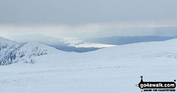
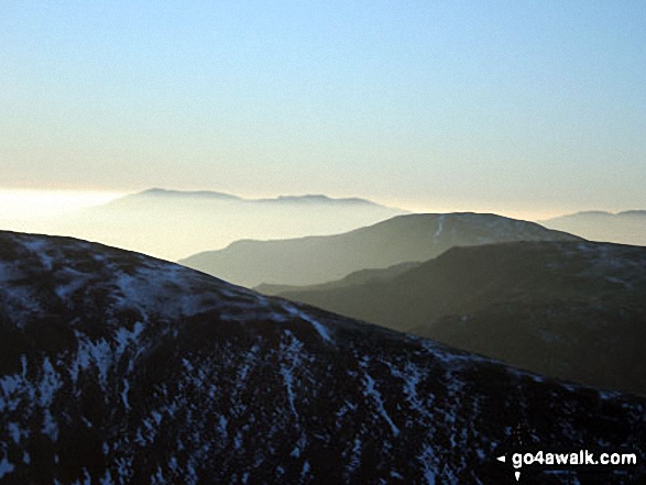
A distant Lake Windermere from the summit of High Street in the snow

A distant Lake Windermere from the summit of High Street in the snow

Photo: Tim Hope (90)

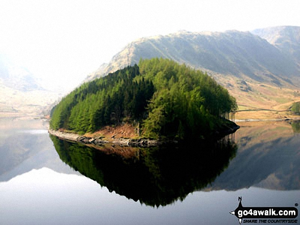
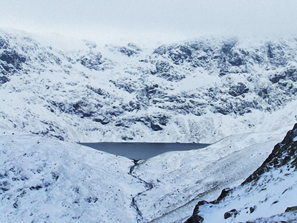
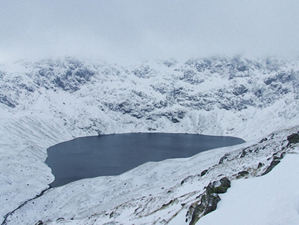
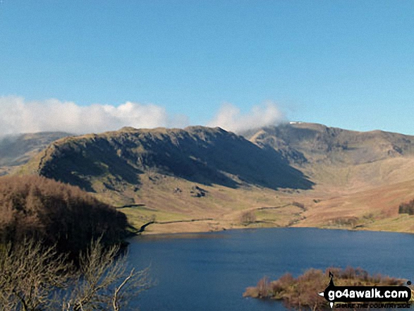
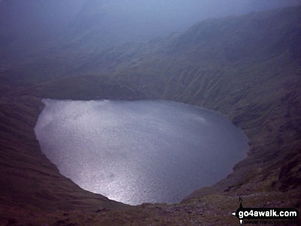
Blea Water with mist shrouding High Street beyond from Dudderwick in the snow

Blea Water with mist shrouding High Street beyond from Dudderwick in the snow

Photo: Tim Hope (83)

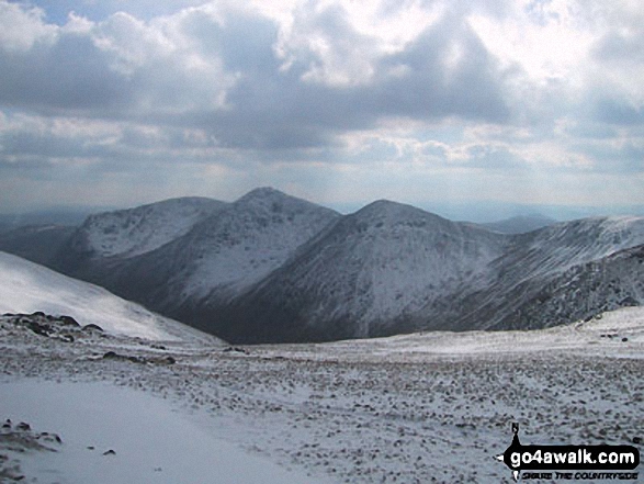
Yoke, Ill Bell and Froswick from High Street

Yoke, Ill Bell and Froswick from High Street

Photo: Phillip Houlton (14)

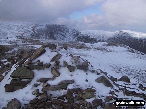
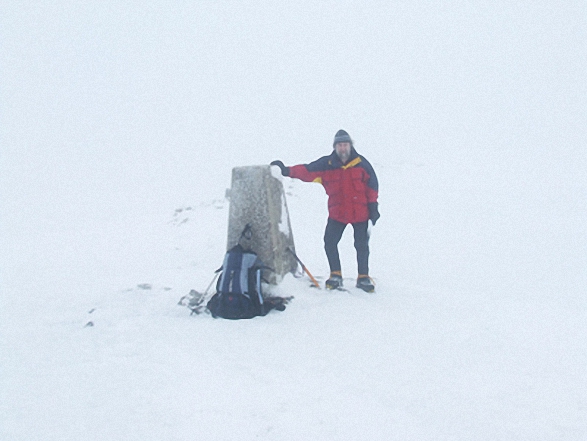
Me on the summit of High Street in the snow

Me on the summit of High Street in the snow

Photo: Tim Hope (89)

Froswick (front), Thornthwaite Crag and High Street from Ill Bell

Froswick (front), Thornthwaite Crag and High Street from Ill Bell

Photo: Matt Delemare (3)

High Street summit Trig Point

High Street summit Trig Point

Photo: Christine Shepherd (518)

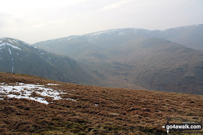
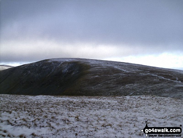
*Snow on Gray Crag (Hayeswater) from High Street

*Snow on Gray Crag (Hayeswater) from High Street

Photo: Richard Nicholls (61)

Mardale Ill Bell and High Street from Harter Fell (Mardale)

Mardale Ill Bell and High Street from Harter Fell (Mardale)

Photo: William Ringwood (52)

The Rigg and Haweswater Reservoir with Rough Crag and High Street beyond from The Old Corpse Road on Mardale Common

The Rigg and Haweswater Reservoir with Rough Crag and High Street beyond from The Old Corpse Road on Mardale Common

Photo: Christine Shepherd (13)

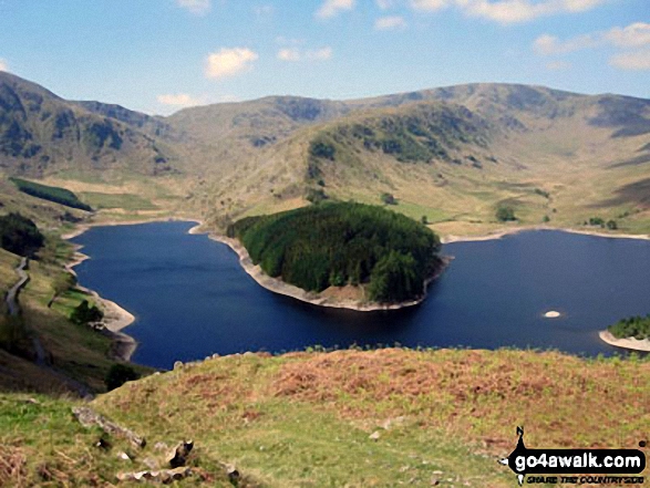
*High Street, Blea Water, Rough Crag (Riggindale), Riggindale, Kidsty Pike and Haweswater Reservoir from The Rigg

*High Street, Blea Water, Rough Crag (Riggindale), Riggindale, Kidsty Pike and Haweswater Reservoir from The Rigg

Photo: Phillip Houlton (6)

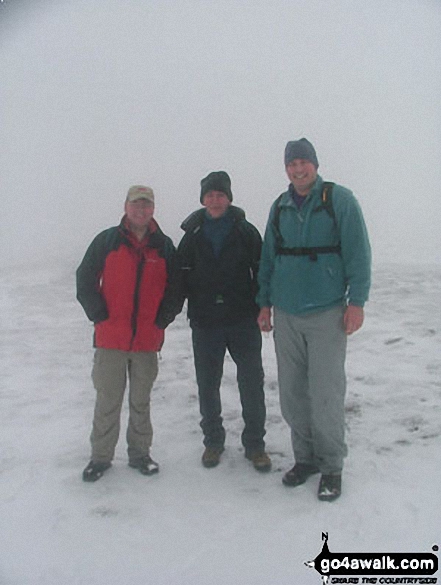
John, Andy and myself on High Street in the snow

John, Andy and myself on High Street in the snow

Photo: Richard Jennings (4)

*Snow on Hayeswater from High Street

*Snow on Hayeswater from High Street

Photo: Richard Nicholls (62)

Harter Fell (Mardale) (left) and High Street from Branstree (Artlecrag Pike)

Harter Fell (Mardale) (left) and High Street from Branstree (Artlecrag Pike)

Photo: A. Wainwright (35)

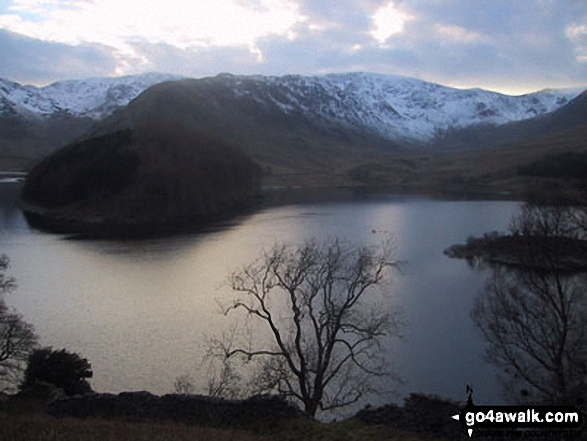
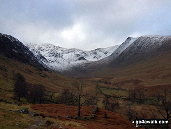
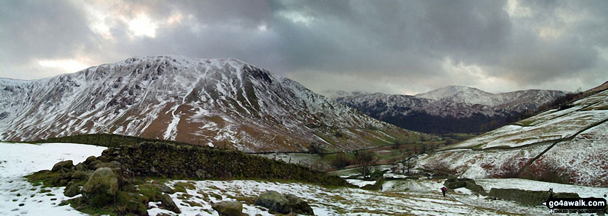
Snow on High Street from Haweswater Reservoir

Snow on High Street from Haweswater Reservoir

Photo: Peter Marsh (1)

High Street (left), Kidsty Pike (centre), High Raise (Mardale) and Raven Howe on the horizon with Riggindale Crag in the mid-distance from Branstree (Artlecrag Pike)

High Street (left), Kidsty Pike (centre), High Raise (Mardale) and Raven Howe on the horizon with Riggindale Crag in the mid-distance from Branstree (Artlecrag Pike)

Photo: A. Wainwright (34)

Blea Tarn from High Street

Blea Tarn from High Street

Photo: Matt Delemare (7)

High Street, The Rigg and Rough Crag (Riggindale) across Haweswater Reservoir

High Street, The Rigg and Rough Crag (Riggindale) across Haweswater Reservoir

Photo: Phillip Houlton (22)

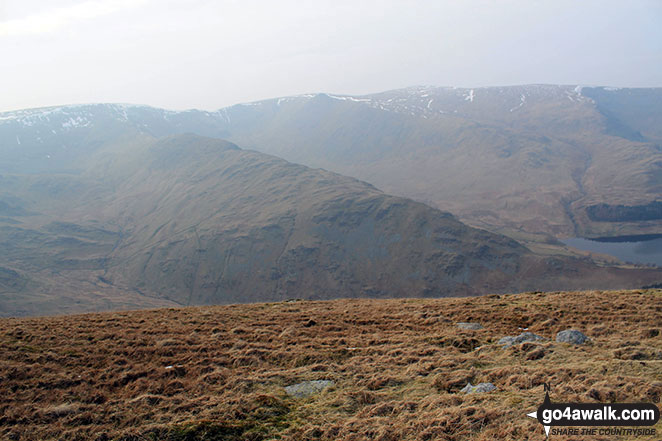
*Hayeswater with the Fairfield and Helvellyn Ridges beyond from High Street

*Hayeswater with the Fairfield and Helvellyn Ridges beyond from High Street

Photo: Andy Malcolm (25)

Thornthwaite Crag & High Street from below Stony Cove Pike (Caudale Moor)

Thornthwaite Crag & High Street from below Stony Cove Pike (Caudale Moor)

Photo: William Ringwood (61)

High Street (behind the tree). Straits of Riggindale, Head of Riggindale Beck and Kidsty Pike from Haweswater Reservoir

High Street (behind the tree). Straits of Riggindale, Head of Riggindale Beck and Kidsty Pike from Haweswater Reservoir

Photo: Mike Knipe (73)

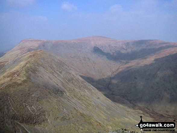
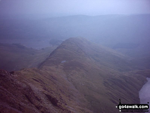
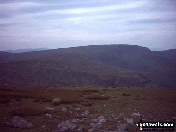
Rough Crag (Riggindale) from High Street

Rough Crag (Riggindale) from High Street

Photo: William Ringwood (48)

Hayeswater from the col between Thornthwaite Crag and High Street

Hayeswater from the col between Thornthwaite Crag and High Street

Photo: Matt Delemare (6)

Nan Bield Pass and Small Water with Rough Crag and High Street beyond from Harter Fell (Mardale)

Nan Bield Pass and Small Water with Rough Crag and High Street beyond from Harter Fell (Mardale)

Photo: Christine Shepherd (16)

Hayeswater with the Fairfield and Helvellyn Ridges beyond from High Street

Hayeswater with the Fairfield and Helvellyn Ridges beyond from High Street

Photo: Andy Malcolm (22)

The view from the summit of Branstree (Artlecrag Pike) featuring Harter Fell (Mardale) (left), High Street, Rough Crag, High Raise (Mardale) and Whether How above Haweswater Reservoir

The view from the summit of Branstree (Artlecrag Pike) featuring Harter Fell (Mardale) (left), High Street, Rough Crag, High Raise (Mardale) and Whether How above Haweswater Reservoir

Photo: Robert Hall (71)

My wife Terry and two youngest daughters Emily & Elizabeth on their 1st Wainwright (High Street) taken on a Bank Holiday Sunday a couple of years ago

My wife Terry and two youngest daughters Emily & Elizabeth on their 1st Wainwright (High Street) taken on a Bank Holiday Sunday a couple of years ago

Photo: Stephen Ellaby (3)

The Rigg (bottom left), Rough Crag (Riggindale) and High Street with a touch of snow on it across Haweswater Reservoir from near Rowantreethwaite Beck on Mardale Banks

The Rigg (bottom left), Rough Crag (Riggindale) and High Street with a touch of snow on it across Haweswater Reservoir from near Rowantreethwaite Beck on Mardale Banks

Photo: Rob Barklamb (41)

High Street summit

High Street summit

Photo: Phillip Houlton (13)

Harter Fell (Mardale) (left), High Street, Kidsty Pike, High Raise (Mardale), Haweswater Reservoir and Selside Pike (far right) from Branstree (Artlecrag Pike)

Harter Fell (Mardale) (left), High Street, Kidsty Pike, High Raise (Mardale), Haweswater Reservoir and Selside Pike (far right) from Branstree (Artlecrag Pike)

Photo: A. Wainwright (37)

The Rigg with Rough Crag (Riggindale) and High Street beyond from near Rowantreethwaite Beck, Haweswater Reservoir

The Rigg with Rough Crag (Riggindale) and High Street beyond from near Rowantreethwaite Beck, Haweswater Reservoir

Photo: Alan Stancombe (5)

High Street Summit

High Street Summit

Photo: William Ringwood (29)

High Street from Mardale Ill Bell

High Street from Mardale Ill Bell

Photo: Phillip Houlton (15)

High Street from Thornthwaite Crag

High Street from Thornthwaite Crag

Photo: William Ringwood (62)

Rough Crag beyond Blea Water from  above Blea Water Crag between High Street and Mardale Ill Bell

Rough Crag beyond Blea Water from above Blea Water Crag between High Street and Mardale Ill Bell

Photo: Andy Malcolm (233)

High Street, Kidsty Pike and High Raise (Mardale) from the summit cairn on Harper Hills

High Street, Kidsty Pike and High Raise (Mardale) from the summit cairn on Harper Hills

Photo: Andy Lyons (73)

Looking West from the summit of High Street

Looking West from the summit of High Street

Photo: Jason Greenall (1)

Mardale Ill Bell, High Street and Rough Crag (Riggindale) above Blea Tarn from Nan Bield Pass

Mardale Ill Bell, High Street and Rough Crag (Riggindale) above Blea Tarn from Nan Bield Pass

Photo: Matt Delemare (9)

Blea Water with mist still shrouding High Street beyond from Rough Crag (Riggindale) summit in the snow

Blea Water with mist still shrouding High Street beyond from Rough Crag (Riggindale) summit in the snow

Photo: Tim Hope (85)

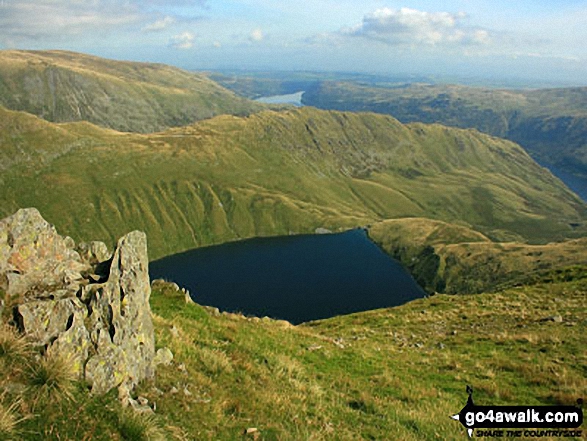
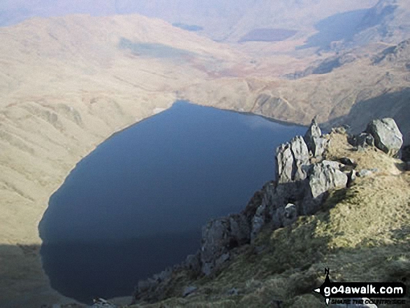
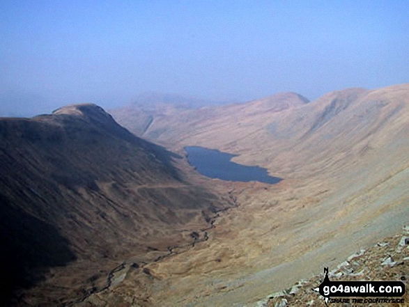
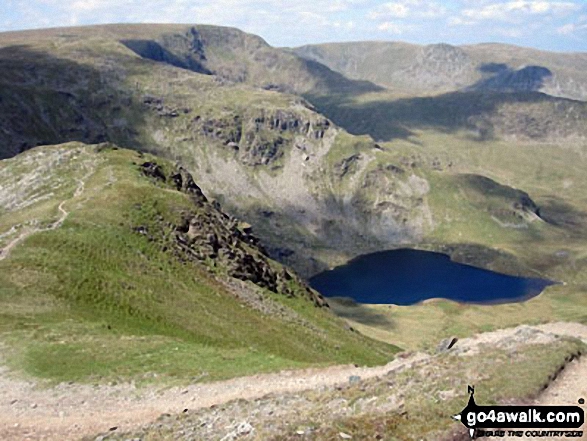
Blea Water from High Street

Blea Water from High Street

Photo: William Ringwood (49)

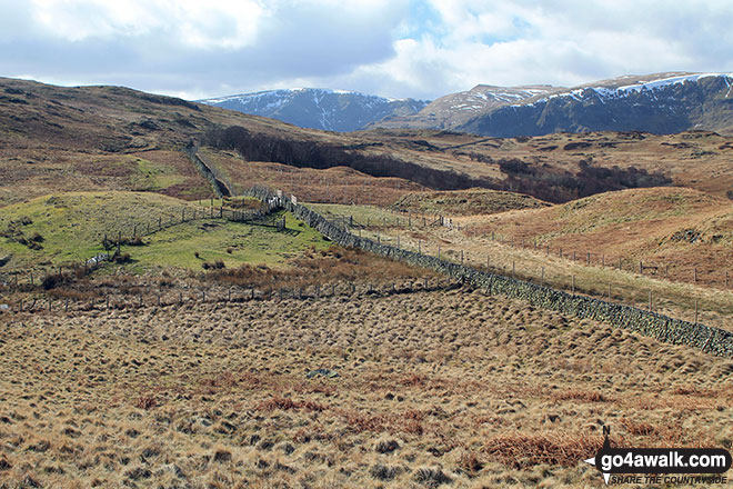
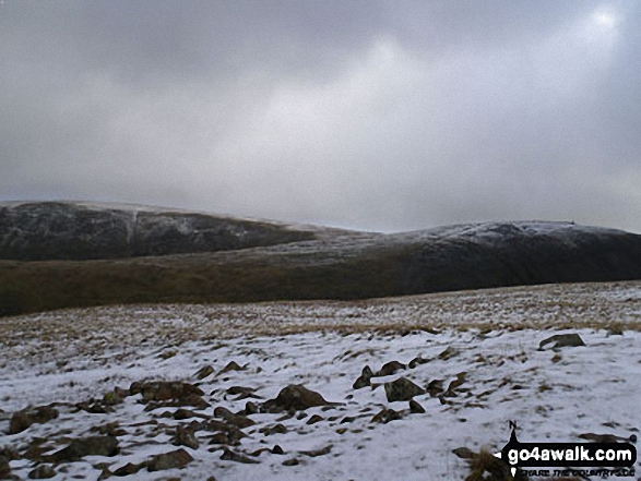
Looking East to the snowy fell tops of Stony Cove Pike (Caudale Moor) and High Street from the summit of Little Hart Crag

Looking East to the snowy fell tops of Stony Cove Pike (Caudale Moor) and High Street from the summit of Little Hart Crag

Photo: Christine Shepherd (5)

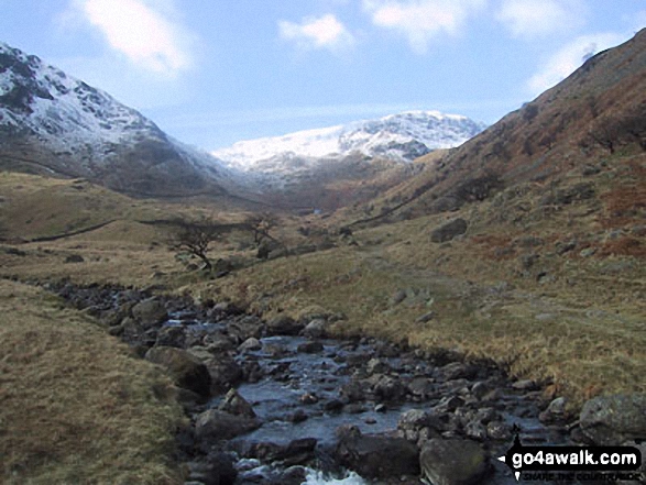
Mardale Beck and High Street from Mardale Head, Haweswater Reservoir

Mardale Beck and High Street from Mardale Head, Haweswater Reservoir

Photo: Phillip Houlton (1)


. . . see just 20 walk photographs & pictures of views from, on or of High Street


Send us your photographs and pictures on, of, or from High Street

If you would like to add your walk photographs and pictures featuring views from, on or of High Street to this page, please send them as email attachments (configured for any computer) along with your name to:


and we shall do our best to publish them.

(Guide Resolution = 300dpi. At least = 660pixels (wide) x 440 pixels (high).)

Send us your photographs and pictures on, of, or from High Street via Facebook

You can also submit photos via our Facebook Page.

NB. Please indicate where each photo was taken.


Not familiar with High Street?

See the location of High Street and all 7 walks that climb it on an interactive Google Map


Follow go4awalk.com on Twitter Follow go4awalk.com on Facebook


Home


Find new Friends to go walking with

Walk all 214 Wainwrights in just 59 Walks. Download GPS Waypoints - Great Walks you must not miss!

Walk The Yorkshire Three Peaks Challenge Walk - All the Latest Route Information, GPS Waypoints and Split Times to keep you on Schedule

Walk The British Three Peaks Challenge Walk - All the Latest Route Information and GPS Waypoints

See our pick of The Best Walks in The Lake District - Great Walks you must not miss!

Walk our pick of the Best Lake District Ridge Walks - Great Walks you must not miss!

Walk our pick of the Best Lake District Walks to do in the rain - Great Walks you must not miss!

Walk our pick of The Best Walks in Snowdonia - Great Walks you must not miss!

Walk our pick of The Best Ridge Walks in Wales - Walks you must not miss!

Walk our pick of The Best Walks in The Brecon Beacons - Great Walks you must not miss!

Walk our pick of The Best Walks in The Yorkshire Dales - Walks you must not miss!

Walk our pick of The Best Walks in The Peak District - Walks you must not miss!

Walk our pick of The Best Walks in The Forest of Bowland - Walks you must not miss!

Walk our pick of The Best Walks in Shropshire - Walks you must not miss!

Walk our pick of The Best Walks in Cheshire - Walks you must not miss!

Walk our pick of The Best Walks in Lancashire - Walks you must not miss!

Not sure where to walk next? Try Peak Bagging - Great Walks you must not miss!

Not sure where to walk next? Walk part of a National Trail - Great Walks you must not miss!

Walks with Downloadable and Uploadable GPS Waypoint Data

Walking Kit and Gear Tested by Walkers

Full Site Search
Do not miss our pick of the Best Walks in the UK