Scotland - a fully detailed list of all the Mountains, Peaks, Tops and Hills (Page of 41)
If you count only the Marilyns there are 1218 tops to climb, bag & conquer and the highest point is Ben Nevis at 1,344m (4,411ft).
To see these Mountains, Peaks, Tops and Hills displayed in different ways - see the options in the left-hand column and towards the bottom of this page.
![]() Your Personal Bagging Record for Scotland
Your Personal Bagging Record for Scotland
LOG ON and RELOAD this page to show which Mountains, Peaks, Tops and Hills you have already climbed, bagged & conquered [. . . more details]
See this list in: Alphabetical Order
| Height Order‡
To reverse the order select the link again.
Mountain, Peak, Top or Hill:
Bagged

![]()
1. Ben Nevis
1,344m (4,411ft)
Ben Nevis is on interactive maps:
A downloadable go4awalk.com PDF Peak Bagging Map featuring Ben Nevis will be available soon. |
![]()
2. Ben Macdui (Beinn MacDuibh)
1,309m (4,296ft)
Ben Macdui (Beinn MacDuibh) is on interactive maps:
A downloadable go4awalk.com PDF Peak Bagging Map featuring Ben Macdui (Beinn MacDuibh) will be available soon. |
![]()
3. Braeriach (Braigh Riabhach)
1,296m (4,253ft)
Braeriach (Braigh Riabhach) is on interactive maps:
A downloadable go4awalk.com PDF Peak Bagging Map featuring Braeriach (Braigh Riabhach) will be available soon. |
![]()
4. Cairn Toul (Carn an t-Sabhail)
1,291m (4,237ft)
Cairn Toul (Carn an t-Sabhail) is on interactive maps:
A downloadable go4awalk.com PDF Peak Bagging Map featuring Cairn Toul (Carn an t-Sabhail) will be available soon. |

![]()
5. Aonach Beag (Glen Nevis)
1,234m (4,050ft)
Send it in and we'll publish it here.
Aonach Beag (Glen Nevis) is on interactive maps:
A downloadable go4awalk.com PDF Peak Bagging Map featuring Aonach Beag (Glen Nevis) will be available soon. |
![]()
6. Carn Mor Dearg
1,220m (4,004ft)
Carn Mor Dearg is on interactive maps:
A downloadable go4awalk.com PDF Peak Bagging Map featuring Carn Mor Dearg will be available soon. |
![]()
7. Ben Lawers
1,214m (3,984ft)
Ben Lawers is on interactive maps:
A downloadable go4awalk.com PDF Peak Bagging Map featuring Ben Lawers will be available soon. |
![]()
8. Beinn a' Bhuird (North Top)
1,197m (3,929ft)
Send it in and we'll publish it here.
Beinn a' Bhuird (North Top) is on interactive maps:
A downloadable go4awalk.com PDF Peak Bagging Map featuring Beinn a' Bhuird (North Top) will be available soon. |
![]()
9. Carn Eige (Carn Eighe)
1,183m (3,883ft)
Send it in and we'll publish it here.
Carn Eige (Carn Eighe) is on interactive maps:
A downloadable go4awalk.com PDF Peak Bagging Map featuring Carn Eige (Carn Eighe) will be available soon. |
![]()
10. Beinn Mheadhoin (Cairngorms)
1,182m (3,879ft)
Send it in and we'll publish it here.
Beinn Mheadhoin (Cairngorms) is on interactive maps:
A downloadable go4awalk.com PDF Peak Bagging Map featuring Beinn Mheadhoin (Cairngorms) will be available soon. |
![]()
11. Stob Choire Claurigh
1,177m (3,863ft)
Stob Choire Claurigh is on interactive maps:
A downloadable go4awalk.com PDF Peak Bagging Map featuring Stob Choire Claurigh will be available soon. |
![]()
12. Ben More (The Crianlarich Hills)
1,174m (3,853ft)
Ben More (The Crianlarich Hills) is on interactive maps:
A downloadable go4awalk.com PDF Peak Bagging Map featuring Ben More (The Crianlarich Hills) will be available soon. |
![]()
13. Ben Avon (Leabaidh an Daimh Bhuidhe)
1,171m (3,843ft)
Send it in and we'll publish it here.
Ben Avon (Leabaidh an Daimh Bhuidhe) is on interactive maps:
A downloadable go4awalk.com PDF Peak Bagging Map featuring Ben Avon (Leabaidh an Daimh Bhuidhe) will be available soon. |
![]()
14. Stob Binnein
1,165m (3,823ft)
Stob Binnein is on interactive maps:
A downloadable go4awalk.com PDF Peak Bagging Map featuring Stob Binnein will be available soon. |
![]()
15. Beinn Bhrotain
1,157m (3,797ft)
Beinn Bhrotain is on interactive maps:
A downloadable go4awalk.com PDF Peak Bagging Map featuring Beinn Bhrotain will be available soon. |
![]()
16. Lochnagar (Cac Carn Beag)
1,155m (3,791ft)
Lochnagar (Cac Carn Beag) is on interactive maps:
A downloadable go4awalk.com PDF Peak Bagging Map featuring Lochnagar (Cac Carn Beag) will be available soon. |
![]()
17. Sgurr nan Ceathreamhnan
1,151m (3,778ft)
Sgurr nan Ceathreamhnan is on interactive maps:
A downloadable go4awalk.com PDF Peak Bagging Map featuring Sgurr nan Ceathreamhnan will be available soon. |
![]()
18. Bidean nam Bian
1,150m (3,774ft)
Bidean nam Bian is on interactive maps:
A downloadable go4awalk.com PDF Peak Bagging Map featuring Bidean nam Bian will be available soon. |
![]()
19. Sgurr na Lapaich (Loch Mullardoch)
1,150m (3,774ft)
Send it in and we'll publish it here.
Sgurr na Lapaich (Loch Mullardoch) is on interactive maps:
A downloadable go4awalk.com PDF Peak Bagging Map featuring Sgurr na Lapaich (Loch Mullardoch) will be available soon. |
![]()
20. Ben Alder
1,148m (3,768ft)
Ben Alder is on interactive maps:
A downloadable go4awalk.com PDF Peak Bagging Map featuring Ben Alder will be available soon. |
![]()
21. Geal-charn (An Lairig)
1,132m (3,715ft)
Send it in and we'll publish it here.
Geal-charn (An Lairig) is on interactive maps:
A downloadable go4awalk.com PDF Peak Bagging Map featuring Geal-charn (An Lairig) will be available soon. |
![]()
22. Binnein Mor
1,130m (3,709ft)
Binnein Mor is on interactive maps:
A downloadable go4awalk.com PDF Peak Bagging Map featuring Binnein Mor will be available soon. |
![]()
23. Ben Lui (Beinn Laoigh)
1,130m (3,708ft)
Ben Lui (Beinn Laoigh) is on interactive maps:
A downloadable go4awalk.com PDF Peak Bagging Map featuring Ben Lui (Beinn Laoigh) will be available soon. |
![]()
24. An Riabhachan
1,129m (3,705ft)
An Riabhachan is on interactive maps:
A downloadable go4awalk.com PDF Peak Bagging Map featuring An Riabhachan will be available soon. |
![]()
25. Creag Meagaidh
1,128m (3,702ft)
Creag Meagaidh is on interactive maps:
A downloadable go4awalk.com PDF Peak Bagging Map featuring Creag Meagaidh will be available soon. |
![]()
26. Ben Cruachan
1,126m (3,696ft)
Ben Cruachan is on interactive maps:
A downloadable go4awalk.com PDF Peak Bagging Map featuring Ben Cruachan will be available soon. |
![]()
27. Meall Garbh (Loch Tay)
1,123m (3,685ft)
Meall Garbh (Loch Tay) is on interactive maps:
A downloadable go4awalk.com PDF Peak Bagging Map featuring Meall Garbh (Loch Tay) will be available soon. |
![]()
28. Beinn a' Ghlo (Carn nan Gabhar)
1,121m (3,679ft)
Beinn a' Ghlo (Carn nan Gabhar) is on interactive maps:
A downloadable go4awalk.com PDF Peak Bagging Map featuring Beinn a' Ghlo (Carn nan Gabhar) will be available soon. |
![]()
29. A' Chraileag (A' Chralaig)
1,120m (3,676ft)
Send it in and we'll publish it here.
A' Chraileag (A' Chralaig) is on interactive maps:
A downloadable go4awalk.com PDF Peak Bagging Map featuring A' Chraileag (A' Chralaig) will be available soon. |
![]()
30. Sgor Gaoith
1,118m (3,669ft)
Sgor Gaoith is on interactive maps:
A downloadable go4awalk.com PDF Peak Bagging Map featuring Sgor Gaoith will be available soon. |
View these 1218 Mountains, Peaks, Tops and Hills:
- On an Interactive Google Map (loads faster)
- On an Interactive Google Map with a list of tops below it.
(makes it easier to locate a particular top) - On a Detailed List in:
Alphabetical Order | Height Order - On one page with 'yet-to-be-bagged' listed 1st & then 'already-bagged' tops listed 2nd in:
Alphabetical Order | Height Order - On one page with 'already-bagged' tops listed 1st & then 'yet-to-be-bagged' tops listed 2nd in:
Alphabetical Order | Height Order
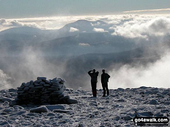
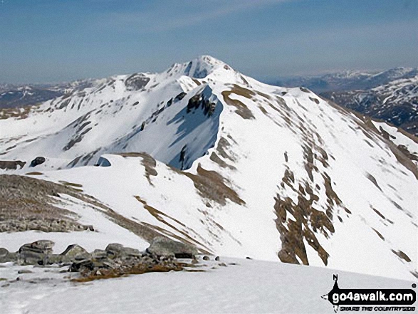
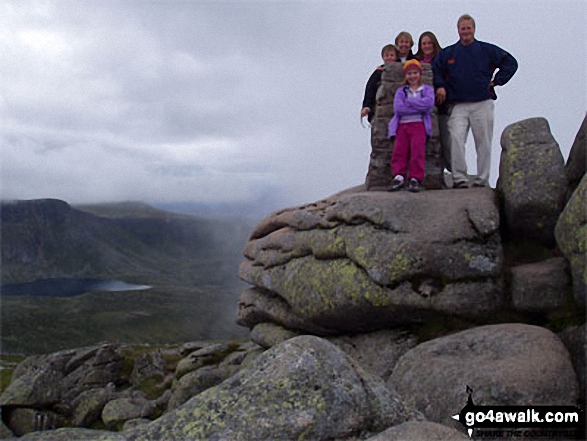
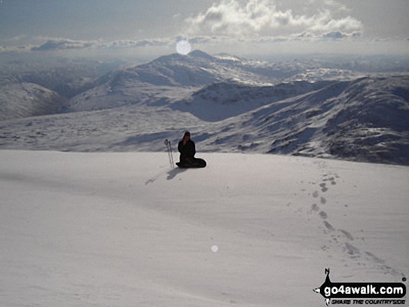
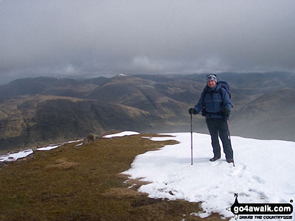
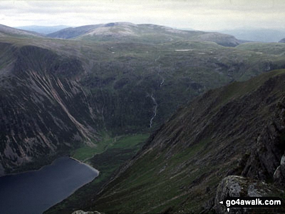
 The summit of Ben Nevis in The Cairngorm MountainsScotland
Photo: John Reed
Is there a Mountain, Peak, Top or Hill missing from the above google map or list?
Let us know an we will add it to our database.

To contribute to go4awalk.com or to contact us about anything at all - see Talk To Us.
For help see Help.
go4awalk.com and go4awalk.co.uk are registered trademarks of TMDH Limited.
Copyright © 2000-2026 TMDH Limited. All rights reserved.
Copyright Terms & Conditions Privacy Statement
A - Z Walks Home Log On/Accounts Photo Gallery Walk Ideas and Collections Fell Facts Hill Skills Walking Questions and Answers Your Stories News Competitions Product Reviews/Gear Tests Walking Gear Guides Peaks and Mountains Peak Bagging Find New Walking Friends Camping GPS Waypoints for Walking Contents Walk Search Talk To Us go4awalk.com Help Free Example Walks Newsletter


