
![]()
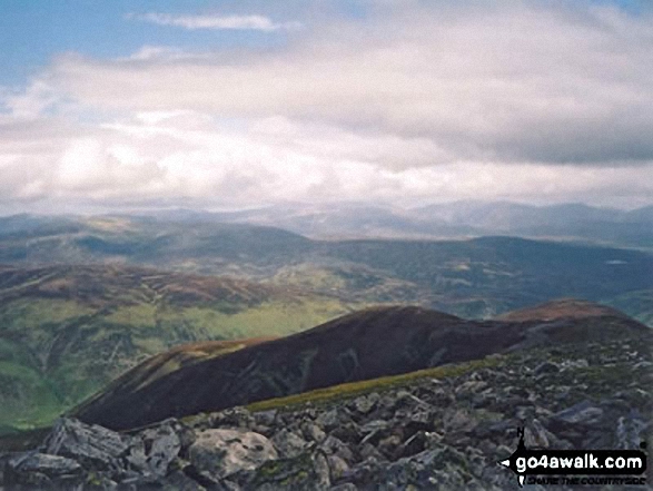
Beinn a' Ghlo (Carn nan Gabhar)
1121m (3679ft)
The Tarf and Tilt Hills (West), The West Mounth - Blair Atholl to Braemar and Blairgowrie, Perth and Kinross, Scotland
The summit of Beinn a' Ghlo (Carn nan Gabhar) is marked by an Ordnance Survey Trig Point.
Not familiar with this top?
See Beinn a' Ghlo (Carn nan Gabhar) and the surrounding tops on our free-to-access 'Google Style' Peak Bagging Maps:
The Tarf and Tilt Hills (West) area of Scottish Region 6: The West Mounth - Blair Atholl to Braemar and Blairgowrie
Less data - quicker to download
Scottish Region 6: The West Mounth - Blair Atholl to Braemar and Blairgowrie
Less data - quicker to download
A go4awalk.com downloadable Peak Bagging Map in PDF format featuring Beinn a' Ghlo (Carn nan Gabhar) should be available soon.
Free-to-access Interactive Walk Planning Maps:
1:25,000 scale OS Explorer Map (orange/yellow covers):
An Interactive Walk Planning Map for OS Explorer OL51 Atholl is not currently available
1:50,000 scale OS Landranger Map (pink/magenta covers):
An Interactive Walk Planning Map for OS Landranger 43 Braemar & Blair Atholl is not currently available
 Fellow go4awalkers who have already walked, climbed, summited & bagged Beinn a' Ghlo (Carn nan Gabhar)
Andrew Edwards walked up Beinn a' Ghlo (Carn nan Gabhar) on July 29th, 2016 [from/via/route] From loch moraig [with] Myself [weather] Cloudy - Last of my 3 munros in a day
Mr M A Blanchard, Simon Duerden, Paul Booth, Trevor Williams, Geert Gritter and Adam Shewry have all walked, climbed & bagged Beinn a' Ghlo (Carn nan Gabhar).
To add (or remove) your name and experiences on this page - Log On and edit your Personal Mountain Bagging Record
Send us your photographs and pictures on, of, or from Beinn a' Ghlo (Carn nan Gabhar)
If you would like to add your walk photographs and pictures featuring views from, on or of Beinn a' Ghlo (Carn nan Gabhar) to this page, please send them as email attachments (configured for any computer) along with your name to:
and we shall do our best to publish them.
(Guide Resolution = 300dpi. At least = 660pixels (wide) x 440 pixels (high).)

You can also submit photos via our Facebook Page.
NB. Please indicate where each photo was taken and whether you wish us to credit your photos with a Username or your First Name/Last Name.
Not familiar with this top?


