The 30 nearest, easy-to-follow, circular walks, routes & maps to UK Postcode PH19

The thirty nearest, easy-to-follow, circular walks, routes & maps to UK Postcode PH19 in Walk Grade Order

Walk 1 Walking Bootprint Icon

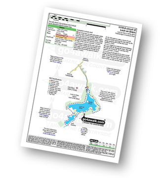
Walk h119 A circuit of Loch an Eilein, Rothiemurchus

A delightful Lochside stroll

Download GPS Waypoint Data for walk h119
Download GPX Waypoint Data for walk h119
Download Map and Route Details for walk h119

Vital Statistics:

Length:4.75 miles (7.5 km)
Ascent:197ft (60m)
Time:2 hrs
Grade:Grade 1 Walking Easy
Walk 2 Walking Bootprint Icon

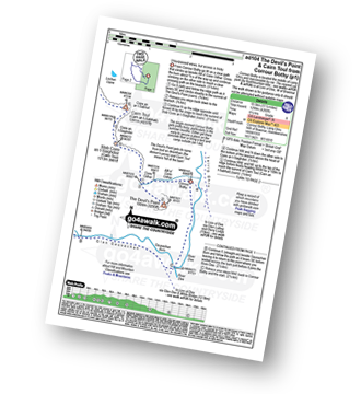
Walk ad104 The Devil's Point and Cairn Toul from Corrour Bothy, Lairig Ghru

Unsurpassed views, but access is tricky

Download GPS Waypoint Data for walk ad104
Download GPX Waypoint Data for walk ad104
Download Map and Route Details for walk ad104

Vital Statistics:

Length:11.5 miles (18.5 km)
Ascent:4,260ft (1,298m)
Time:8½ hrs
Grade:Grade 8 Walking Hard
Walk 3 Walking Bootprint Icon

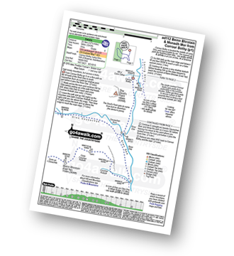
Walk ad112 Beinn Bhrotain and Monadh Mor from Corrour Bothy

High lonely mountains, but access is tricky

Download GPS Waypoint Data for walk ad112
Download GPX Waypoint Data for walk ad112
Download Map and Route Details for walk ad112

Vital Statistics:

Length:12.75 miles (20.5 km)
Ascent:3,243ft (988m)
Time:8 hrs
Grade:Grade 8 Walking Hard
Walk 4 Walking Bootprint Icon

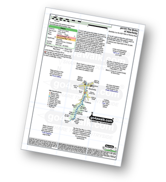
Walk pk105 The Birks of Aberfeldy from Aberfeldy

In the footsteps of Robbie Burns

Download GPS Waypoint Data for walk pk105
Download GPX Waypoint Data for walk pk105
Download Map and Route Details for walk pk105

Vital Statistics:

Length:2.75 miles (4.5 km)
Ascent:587ft (179m)
Time:1.75hrs
Grade:Grade 2 Walking Easy
Walk 5 Walking Bootprint Icon

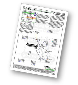
Walk h101 Cairn Gorm from Cairn Gorm Ski Centre

Grade 4. But beware, this is the high mountains

Download GPS Waypoint Data for walk h101
Download GPX Waypoint Data for walk h101
Download Map and Route Details for walk h101

Vital Statistics:

Length:4 miles (6.5 km)
Ascent:2,104ft (641m)
Time:3.75hrs
Grade:Grade 4 Walking Moderate
Walk 6 Walking Bootprint Icon

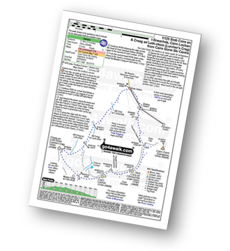
Walk h125 Stob Coire an t-Sneachda (Cairn Gorm), Cairn Lochan and Creag an Leth-choin (Lurcher's Crag) from Cairn Gorm Ski Centre

Superb views over the northern corries from Cairn Gorm Ski Centre

Download GPS Waypoint Data for walk h125
Download GPX Waypoint Data for walk h125
Download Map and Route Details for walk h125

Vital Statistics:

Length:7.25 miles (11.5 km)
Ascent:2,609ft (795m)
Time:5.25hrs
Grade:Grade 6 Walking Moderate
Walk 7 Walking Bootprint Icon

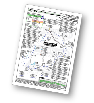
Walk h152 Cnap Coire na Spreidhe, Cairn Gorm and Creag an Leth-choin (Lurcher's Crag) from Cairn Gorm Ski Centre

Superb views over the northern corries from Cairn Gorm Ski Centre

Download GPS Waypoint Data for walk h152
Download GPX Waypoint Data for walk h152
Download Map and Route Details for walk h152

Vital Statistics:

Length:8.75 miles (14 km)
Ascent:3,036ft (925m)
Time:6.25hrs
Grade:Grade 6 Walking Moderate
Walk 8 Walking Bootprint Icon

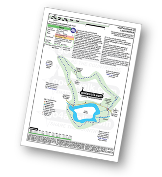
Walk h222 A circuit of Loch Morlich

A lovely Loch side and Forest stroll

Download GPS Waypoint Data for walk h222
Download GPX Waypoint Data for walk h222
Download Map and Route Details for walk h222

Vital Statistics:

Length:8.25 miles (13 km)
Ascent:745ft (244m)
Time:3.75hrs
Grade:Grade 4 Walking Moderate
Walk 9 Walking Bootprint Icon

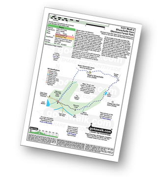
Walk h121 Meall a' Bhuachaille from Glenmore Forest Park Visitors Centre

Ascent to superb views

Download GPS Waypoint Data for walk h121
Download GPX Waypoint Data for walk h121
Download Map and Route Details for walk h121

Vital Statistics:

Length:5.25 miles (8.5 km)
Ascent:1,666ft (508m)
Time:3.75hrs
Grade:Grade 4 Walking Moderate
Walk 10 Walking Bootprint Icon

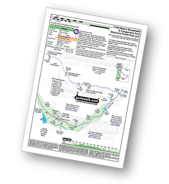
Walk h184 Meall a' Bhuachaille and Craiggowrie from Glenmore Forest Park

Fine high level route

Download GPS Waypoint Data for walk h184
Download GPX Waypoint Data for walk h184
Download Map and Route Details for walk h184

Vital Statistics:

Length:10 miles (16 km)
Ascent:2,425ft (739m)
Time:6 hrs
Grade:Grade 6 Walking Moderate
Walk 11 Walking Bootprint Icon

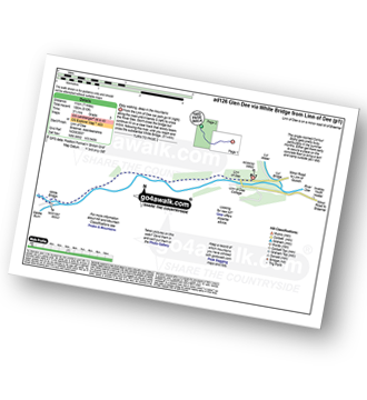
Walk ad126 Glen Dee via White Bridge from Linn of Dee

Easy walking, deep in the mountains

Download GPS Waypoint Data for walk ad126
Download GPX Waypoint Data for walk ad126
Download Map and Route Details for walk ad126

Vital Statistics:

Length:7 miles (11 km)
Ascent:610ft (186m)
Time:3.25hrs
Grade:Grade 3 Walking Easy
Walk 12 Walking Bootprint Icon

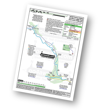
Walk ad125 Corrour Bothy, Lairig Ghru via Derry Lodge from Linn of Dee

Easy walking, deep in the mountains

Download GPS Waypoint Data for walk ad125
Download GPX Waypoint Data for walk ad125
Download Map and Route Details for walk ad125

Vital Statistics:

Length:8.25 miles (13 km)
Ascent:1,113ft (339m)
Time:4 hrs
Grade:Grade 4 Walking Moderate
Walk 13 Walking Bootprint Icon

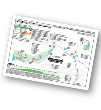
Walk h156 Bynack Mor and A' Choinneach from Glenmore Lodge

Munro 52 and The Cairngorms' most northerly

Download GPS Waypoint Data for walk h156
Download GPX Waypoint Data for walk h156
Download Map and Route Details for walk h156

Vital Statistics:

Length:15 miles (24 km)
Ascent:3,052ft (930m)
Time:8½ hrs
Grade:Grade 8 Walking Hard
Walk 14 Walking Bootprint Icon

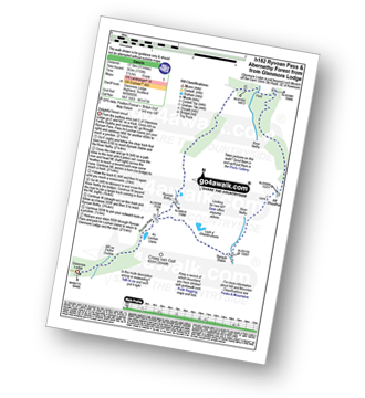
Walk h182 Ryvoan Pass and Abernethy Forest from Glenmore Lodge

Delightful Forest Circuit

Download GPS Waypoint Data for walk h182
Download GPX Waypoint Data for walk h182
Download Map and Route Details for walk h182

Vital Statistics:

Length:11 miles (17.5 km)
Ascent:1,159ft (353m)
Time:5 hrs
Grade:Grade 5 Walking Moderate
Walk 15 Walking Bootprint Icon

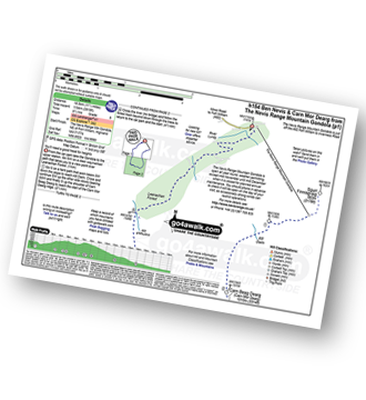
Walk h154 Ben Nevis and Carn Mor Dearg from The Nevis Range Mountain Gondola

You'll need a good head for heights on the CMD arete

Download GPS Waypoint Data for walk h154
Download GPX Waypoint Data for walk h154
Download Map and Route Details for walk h154

Vital Statistics:

Length:11.5 miles (18.5 km)
Ascent:3,919ft (1,194m)
Time:8½ hrs
Grade:Grade 8 Walking Hard
Walk 16 Walking Bootprint Icon

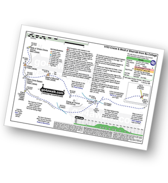
Walk h193 Creise and Meall a' Bhuiridh from A82 at Lochan na Stainge

Good navigation skills needed in mist

Download GPS Waypoint Data for walk h193
Download GPX Waypoint Data for walk h193
Download Map and Route Details for walk h193

Vital Statistics:

Length:12.25 miles (19.5 km)
Ascent:4,322ft (1,317m)
Time:8.75hrs
Grade:Grade 8 Walking Hard
Walk 17 Walking Bootprint Icon

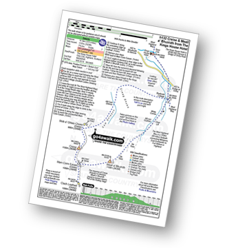
Walk h132 Creise and Meall a' Bhuiridh from The Kings House Hotel

Good navigation skills needed in mist

Download GPS Waypoint Data for walk h132
Download GPX Waypoint Data for walk h132
Download Map and Route Details for walk h132

Vital Statistics:

Length:10.25 miles (16.5 km)
Ascent:3,929ft (1,197m)
Time:7.75hrs
Grade:Grade 7 Walking Hard
Walk 18 Walking Bootprint Icon

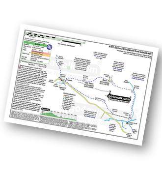
Walk h161 Beinn a' Chrulaiste from Altnafeadh, The Pass of Glen Coe

Straight forward walk to superb views

Download GPS Waypoint Data for walk h161
Download GPX Waypoint Data for walk h161
Download Map and Route Details for walk h161

Vital Statistics:

Length:6.5 miles (10.5 km)
Ascent:2,227ft (679m)
Time:4½ hrs
Grade:Grade 5 Walking Moderate
Walk 19 Walking Bootprint Icon

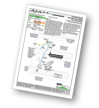
Walk h143 Buachaille Etive Mor (Stob Dearg) from Altnafeadh, The Pass of Glen Coe

Munro 109

Download GPS Waypoint Data for walk h143
Download GPX Waypoint Data for walk h143
Download Map and Route Details for walk h143

Vital Statistics:

Length:4.25 miles (6.5 km)
Ascent:2,491ft (759m)
Time:4 hrs
Grade:Grade 6 Walking Moderate
Walk 20 Walking Bootprint Icon

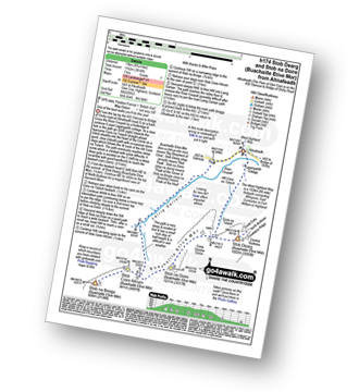
Walk h174 Buachaille Etive Mor (Stob Dearg) and Stob na Doire (Buachaille Etive Mor) from from Altnafeadh, The Pass of Glen Coe

One of the best walks you'll do this year

Download GPS Waypoint Data for walk h174
Download GPX Waypoint Data for walk h174
Download Map and Route Details for walk h174

Vital Statistics:

Length:8.25 miles (13 km)
Ascent:3,814ft (1,162m)
Time:7 hrs
Grade:Grade 7 Walking Hard
Walk 21 Walking Bootprint Icon

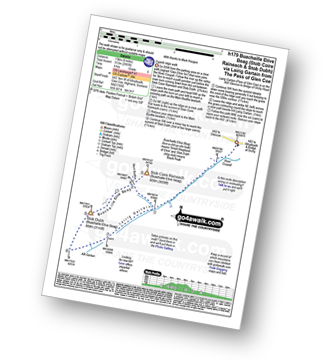
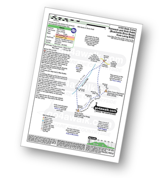
Walk h179 Stob Coire Raineach (Buachaille Etive Beag) and Buachaille Etive Beag (Stob Dubh) via Lairig Gartain from The Pass of Glencoe

Superb ridge walk

Download GPS Waypoint Data for walk h179
Download GPX Waypoint Data for walk h179
Download Map and Route Details for walk h179

Vital Statistics:

Length:8.25 miles (13 km)
Ascent:2,993ft (912m)
Time:6 hrs
Grade:Grade 6 Walking Moderate
Walk 22 Walking Bootprint Icon

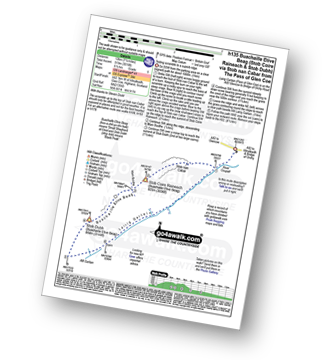
Walk h135 Stob Coire Raineach (Buachaille Etive Beag) and Buachaille Etive Beag (Stob Dubh) via Stob nan Cabar from The Pass of Glencoe

Testing scramble to a superb ridge

Download GPS Waypoint Data for walk h135
Download GPX Waypoint Data for walk h135
Download Map and Route Details for walk h135

Vital Statistics:

Length:7.5 miles (12 km)
Ascent:3,016ft (919m)
Time:6½ hrs
Grade:Grade 6 Walking Moderate
Walk 23 Walking Bootprint Icon

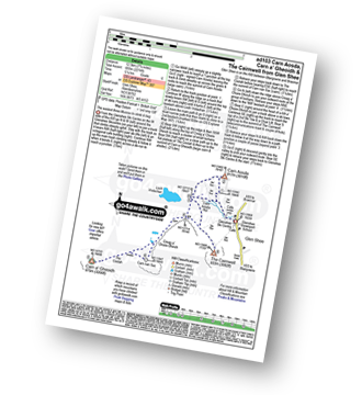
Walk ad103 Carn Aosda, Carn a' Gheoidh and The Cairnwell from Glen Shee

The easiest three Munros to climb and bag

Download GPS Waypoint Data for walk ad103
Download GPX Waypoint Data for walk ad103
Download Map and Route Details for walk ad103

Vital Statistics:

Length:7.75 miles (12.5 km)
Ascent:2,274ft (693m)
Time:5.25hrs
Grade:Grade 6 Walking Moderate
Walk 24 Walking Bootprint Icon

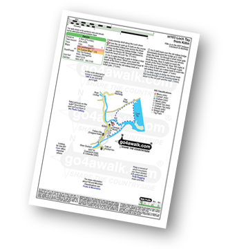
Walk st103 Loch Tay from Killin

Lovely evening stroll along the Loch shore

Download GPS Waypoint Data for walk st103
Download GPX Waypoint Data for walk st103
Download Map and Route Details for walk st103

Vital Statistics:

Length:2.75 miles (4.5 km)
Ascent:82ft (25m)
Time:1 hrs
Grade:Grade 1 Walking Easy
Walk 25 Walking Bootprint Icon

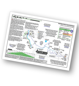
Walk h100 Ben Nevis via The Tourist Path from Achintee, Fort William

The tourist route up the UK's Highest Mountain

Download GPS Waypoint Data for walk h100
Download GPX Waypoint Data for walk h100
Download Map and Route Details for walk h100

Vital Statistics:

Length:10.25 miles (16.5 km)
Ascent:4,424ft (1,348m)
Time:8½ hrs
Grade:Grade 8 Walking Hard
Walk 26 Walking Bootprint Icon

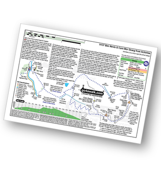
Walk h137 Ben Nevis and Carn Mor Dearg from Achintee, Fort William

A different side of the UK's Highest Mountain - not for the faint hearted

Download GPS Waypoint Data for walk h137
Download GPX Waypoint Data for walk h137
Download Map and Route Details for walk h137

Vital Statistics:

Length:12.25 miles (19.5 km)
Ascent:5,333ft (1,625m)
Time:10 hrs
Grade:Grade 9 Walking Very Hard
Walk 27 Walking Bootprint Icon

Walk h153 Stob Coire Raineach (Buachaille Etive Beag) and Buachaille Etive Beag (Stob Dubh) from the Pass of Glencoe

Munros 200 and 263

Download GPS Waypoint Data for walk h153
Download GPX Waypoint Data for walk h153
Download Map and Route Details for walk h153

Vital Statistics:

Length:5 miles (8 km)
Ascent:2,983ft (909m)
Time:5 hrs
Grade:Grade 5 Walking Moderate
Walk 28 Walking Bootprint Icon

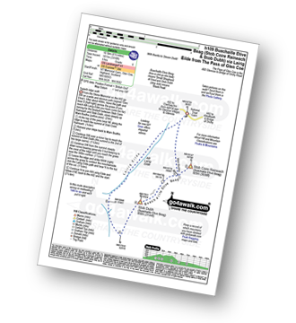
Walk h109 Stob Coire Raineach (Buachaille Etive Beag) and Buachaille Etive Beag (Stob Dubh) via Lairig Eilde from The Pass of Glencoe

Superb ridge walk

Download GPS Waypoint Data for walk h109
Download GPX Waypoint Data for walk h109
Download Map and Route Details for walk h109

Vital Statistics:

Length:6.5 miles (10.5 km)
Ascent:3,318ft (1,011m)
Time:6 hrs
Grade:Grade 6 Walking Moderate
Walk 29 Walking Bootprint Icon

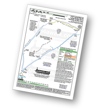
Walk h127 Lairig Eilde and Lairig Gartain from The Pass of Glencoe

Spectacular scenery without the climbs

Download GPS Waypoint Data for walk h127
Download GPX Waypoint Data for walk h127
Download Map and Route Details for walk h127

Vital Statistics:

Length:9.25 miles (14.5 km)
Ascent:2,194ft (669m)
Time:5½ hrs
Grade:Grade 6 Walking Moderate
Walk 30 Walking Bootprint Icon

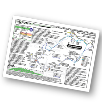
Walk h162 Bidean nam Bian, Stob Coire Sgreamhach and Bein Fhada

The highest point in what was 'Argyll'

Download GPS Waypoint Data for walk h162
Download GPX Waypoint Data for walk h162
Download Map and Route Details for walk h162

Vital Statistics:

Length:9.75 miles (16.5 km)
Ascent:5,405ft (1,647m)
Time:9 hrs
Grade:Grade 8 Walking Hard

Do not miss our pick of the Best Walks in the UK


Follow go4awalk.com on Twitter Follow go4awalk.com on Facebook


Home