
![]()
Skiddaw
930m (3052ft)
The Northern Fells, The Lake District, Cumbria, England
Tap/mouse over a coloured circle (1-3 easy walks, 4-6 moderate walks, 7-9 hard walks) and click to select.
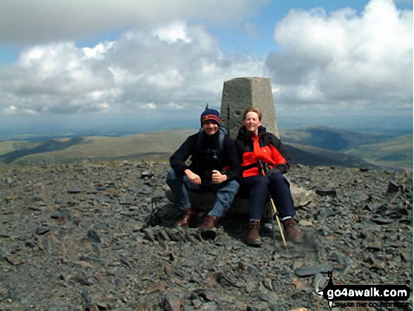
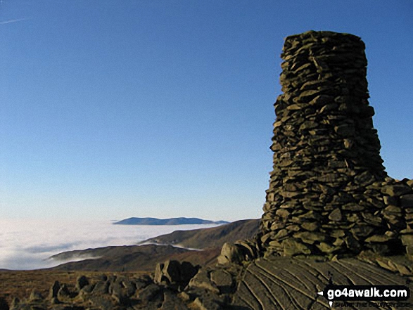
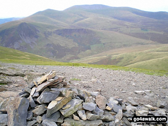
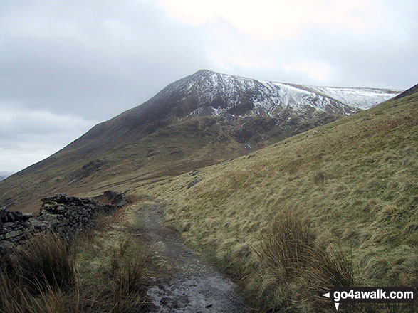
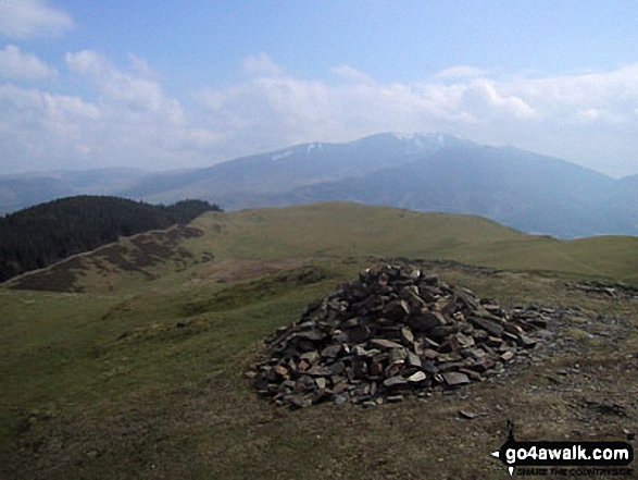
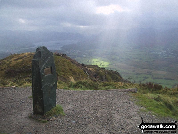
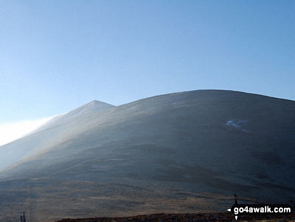
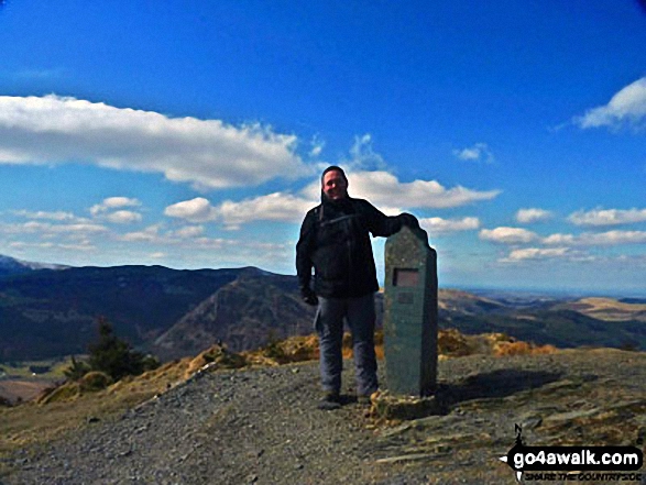
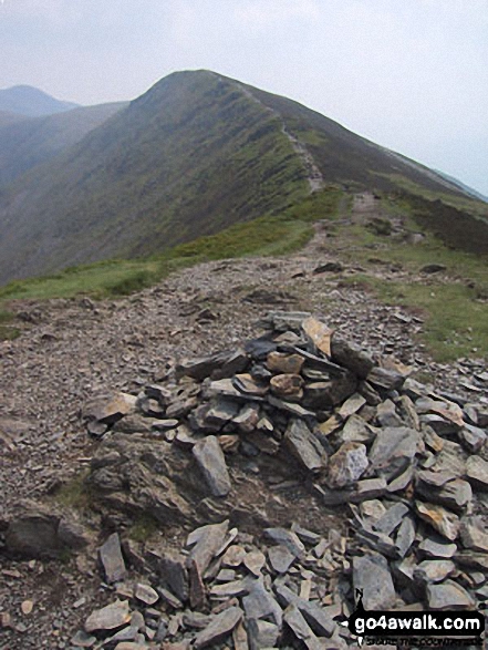
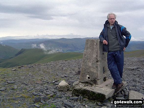
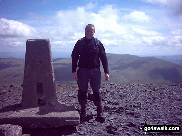
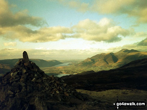
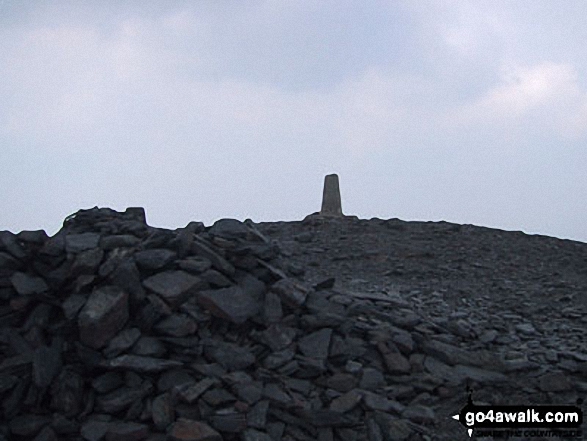
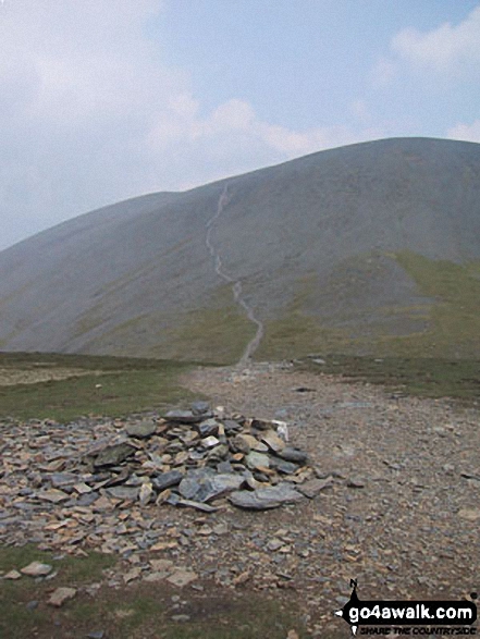
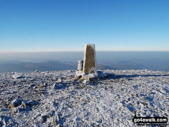
The summit of Skiddaw is marked by an Ordnance Survey Trig Point.
Not familiar with this top?
   |
|---|
Vital Statistics:
| Length: | 8.25ml (13km) |
|---|---|
| Ascent: | 2,919ft (890m) |
| Time: | 6 hrs |
| Grade: |  (Moderate) (Moderate) |
Route Summary:
High Side - The Allerdale Ramble - Ling How - The Edge - Ullock Pike - Longside Edge - Long Side - Carl Side - Skiddaw - Bakestall - Birkett Edge - Whitewater Dash - Back O' Skiddaw - Melbecks - High Side
|
|---|
Vital Statistics:
| Length: | 8.25ml (13km) |
|---|---|
| Ascent: | 3,306ft (1,008m) |
| Time: | 6.25hrs |
| Grade: |  (Hard) (Hard) |
Route Summary:
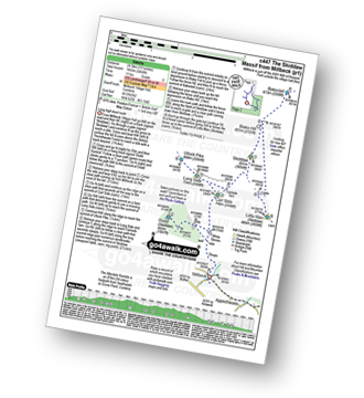
Keswick - Millbeck - The Allerdale Ramble - Doups - White Stones - Carl Side - Longside Edge - Long Side - Skiddaw - Little Man (Skiddaw) - The Cumbria Way - Applethwaite - The Allerdale Ramble - Millbeck - Nr Keswick.
|
|---|
Vital Statistics:
| Length: | 9.75ml (15.5km) |
|---|---|
| Ascent: | 3,529ft (1,076m) |
| Time: | 7 hrs |
| Grade: | (Hard) |
Route Summary:
Keswick - Millbeck - The Allerdale Ramble - Doups - White Stones - Carl Side - Longside Edge - Long Side - Skiddaw - Little Man (Skiddaw) - Jenkin Hill - Lonscale Fell - Lonscale Crags - The Cumbria Way - Applethwaite - The Allerdale Ramble - Millbeck - Nr Keswick.
|
|---|
Vital Statistics:
| Length: | 10.25ml (16.5km) |
|---|---|
| Ascent: | 2,850ft (869m) |
| Time: | 6½ hrs |
| Grade: | (Hard) |
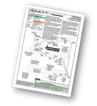
Route Summary:
Keswick - Gale Road (Underscar) Nr Keswick - Lonscale Fell - Jenkin Hill - Little Man (Skiddaw) - Skiddaw - Sale How (Skiddaw) - Skiddaw House - Gale Road (Underscar) Nr Keswick.
|
|---|
Vital Statistics:
| Length: | 11.5ml (18.5km) |
|---|---|
| Ascent: | 3,214ft (980m) |
| Time: | 7½ hrs |
| Grade: | (Hard) |
Route Summary:
Keswick - Gale Road - Lonscale Fell - Jenkin Hill - Little Man (Skiddaw) - Skiddaw - Bakestall - Birkett Edge - Whitewater Dash - Back O' Skiddaw - The Cumbria Way - Skiddaw House - Gale Road (Underscar) Nr Keswick.
|
|---|
Vital Statistics:
| Length: | 15.25ml (24.5km) |
|---|---|
| Ascent: | 5,458ft (1,663m) |
| Time: | 11 hrs |
| Grade: |  (Very Hard) (Very Hard) |
Route Summary:
Keswick - Millbeck - The Allerdale Ramble - Doups - Dodd (Skiddaw) - White Stones (Skiddaw) - Carl Side - Longside Edge - Long Side - Ullock Pike - Carlside Tarn - Skiddaw - Blake Hill - Bakestall - Little Man (Skiddaw) - Jenkin Hill - Lonscale Fell - Lonscale Crags - The Cumbria Way - Latrigg - Applethwaite - The Allerdale Ramble - Millbeck - Nr Keswick.
See Skiddaw and the surrounding tops on our free-to-access 'Google Style' Peak Bagging Maps:
The Northern Fells of The Lake District National Park
Less data - quicker to download
The Whole of The Lake District National Park
More data - might take a little longer to download
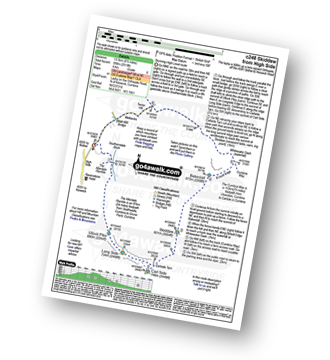
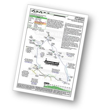
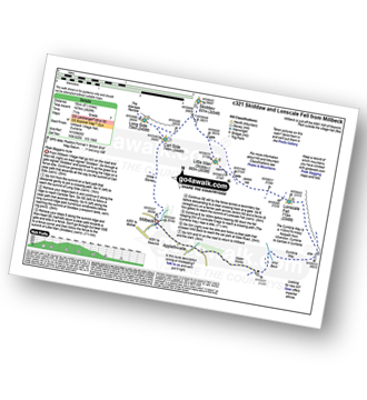
See Skiddaw and the surrounding tops on our downloadable Peak Bagging Maps in PDF format:

NB: Whether you print off a copy or download it to your phone, these PDF Peak Baggers' Maps might prove incredibly useful when your are up there on the tops and you cannot get a phone signal.
*This version is marked with the walk routes you need to follow to Walk all 214 Wainwrights in just 59 walks.
You can find Skiddaw & all the walks that climb it on these unique free-to-access Interactive Walk Planning Maps:
1:25,000 scale OS Explorer Map (orange/yellow covers):
1:50,000 scale OS Landranger Maps (pink/magenta covers):
 Fellow go4awalkers who have already walked, climbed, summited & bagged Skiddaw
Paul Roddam walked up Skiddaw on April 3rd, 2023 [with] Tom, Barb, Rice [weather] Sunny
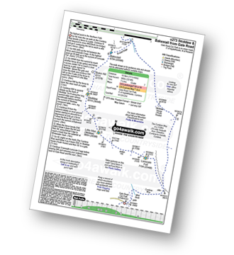
James Hughes climbed Skiddaw on May 13th, 2025 [from/via/route] c273 Skiddaw & Bakestall from Gale Road [weather] Clear, blue skies with strong breeze/wind on tops. - Awesome walk with some sharp stiff climbs (Lonscale & Skiddaw Little Man). Good way to climb Skiddaw avoiding main track all way. Easy drop down to Bakestall & very pleasant meander on Cumbria Way via Skiddaw House back to beginning. Car Park absolute nightmare when full & cars on sides as nearly impossible to turn around. Stopped off at White Horse Inn in hope to bunk for night, but not possible as needed to hire whole room. Pint of Corby Blonde & back home.
Richard Holmes bagged Skiddaw on April 7th, 2025 [from/via/route] High side [with] Myself. [weather] Hot, very hot, some clouds & occasional wind.
Martin Woods hiked Skiddaw on March 4th, 2023 [from/via/route] 3000 challenge windy very windy [with] N/A [weather] Overcast, 10 degerees in the valley cold on the tops
Iain Jones summited Skiddaw on July 21st, 2012 [from/via/route] Skiddaw & Lonscale Fell from Millbeck [with] Stuart Jones - 31 July 2015 - Trail Run from Millbeck; 25 August 2017 - The Wainwright 60 - Day 5 (Skiddaw); 6 March 2024 - from Bridge Cottage, Keswick; 10 August 2024 - The Grand Tour of Skiddaw 2024
Sarah Gunn conquered Skiddaw on July 27th, 2024 [from/via/route] From Gale Road car park [with] Martin Gunn
Sarah Moore scaled Skiddaw on June 9th, 2024 [from/via/route] c273 Great walk - out early & double wipers en route to the car park... & then the rain stopped. Gutted that visibility at all of the peaks was poor, but as I started down from Bakestall it clearer to a glorious day as I came back down the Cumbria Way. 7.5 hours >> 5 hours 10mins [with] On my own [weather] Started drizzly & low visibility but warmed up & coat off eventually! - Great walk - & a lovely route up to Skiddaw (instead of the "road")
John Ramsbottom walked up Skiddaw on May 19th, 2024 [from/via/route] Kestrel Lodge campsite [with] Lola [weather] Hot Sunny - Went to Keswick & a few pubs with Claire & Lola.Then back to campsite
Jason Mcmillan climbed Skiddaw on October 10th, 2020 [from/via/route] Skiddaw from Underscar
David Higginbottom bagged Skiddaw on November 16th, 2018 [with] Carolyn [weather] Good
To add (or remove) your name and experiences on this page - Log On and edit your Personal Mountain Bagging Record
. . . [see more walk reports]
More Photographs & Pictures of views from, on or of Skiddaw
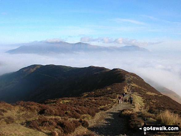
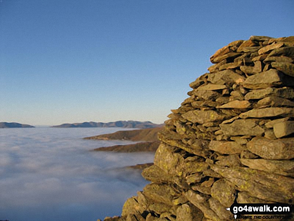
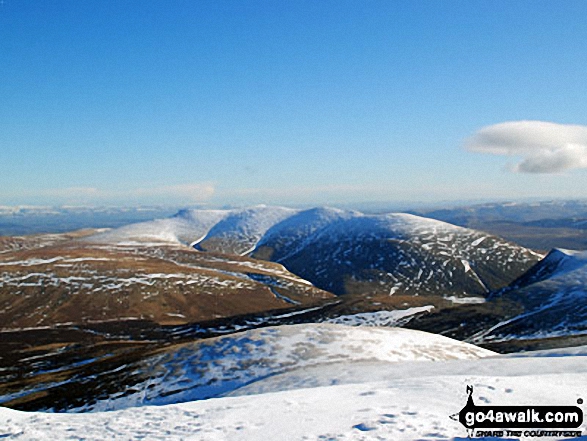
Looking North towards Skiddaw and Blencathra from the summit of Thornthwaite Crag across cloud trapped by a temperature inversion
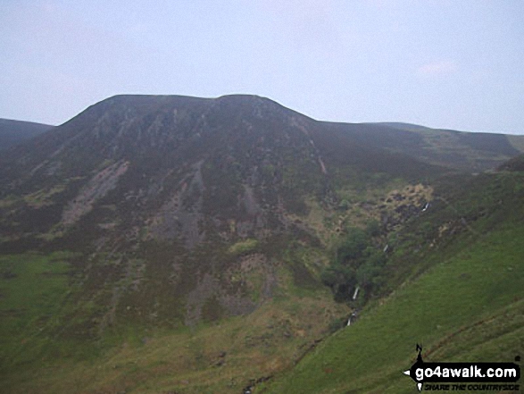
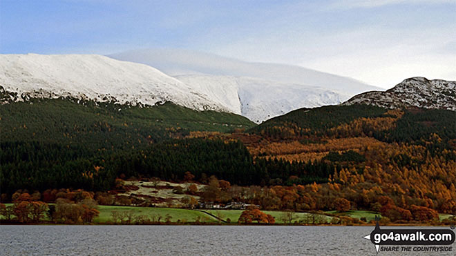
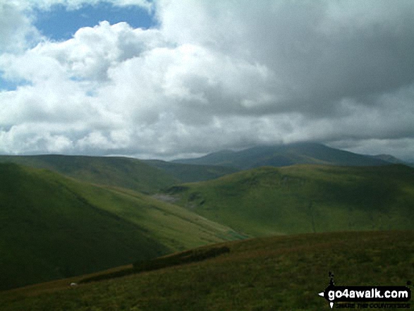
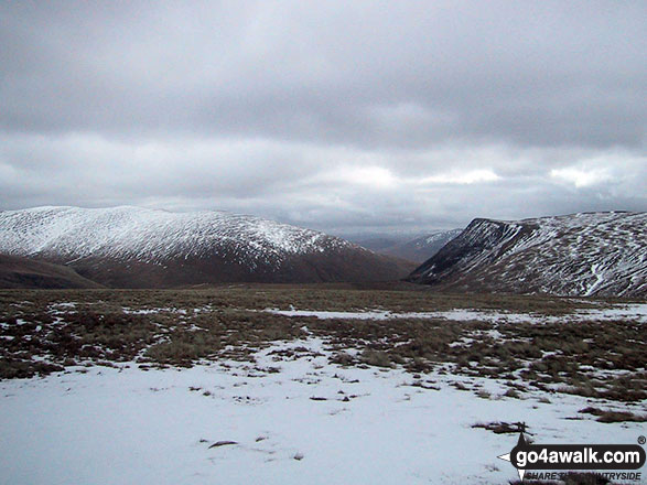
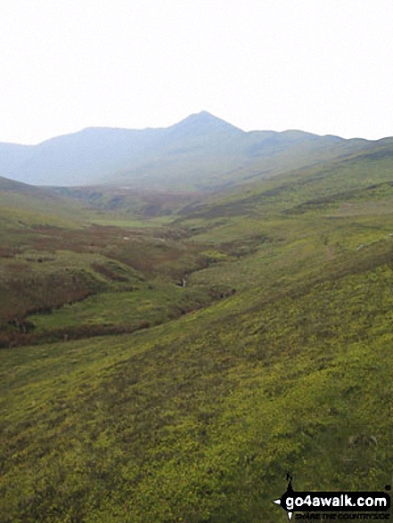
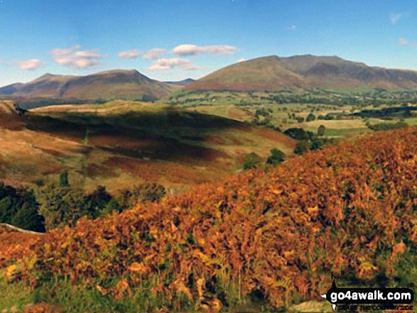
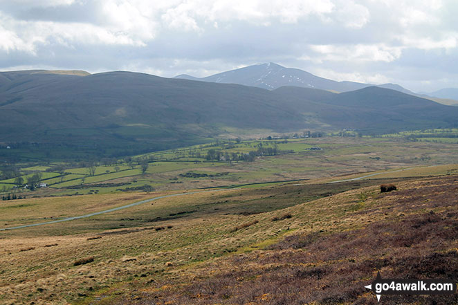
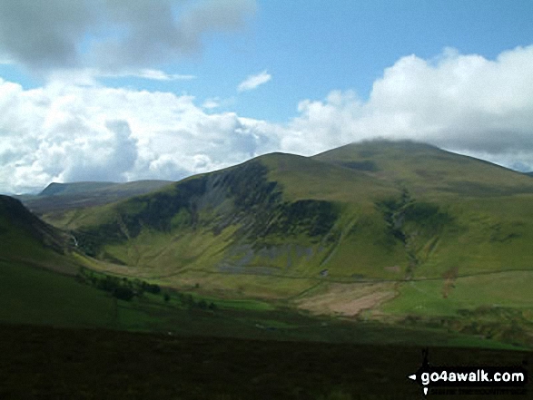
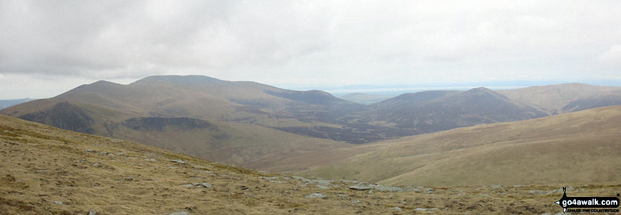
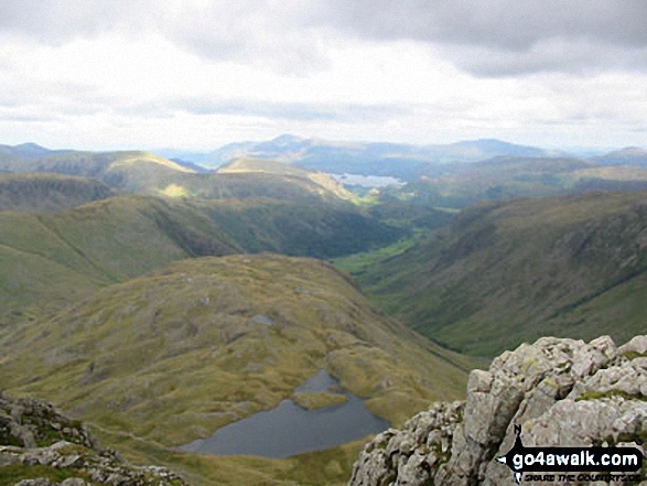
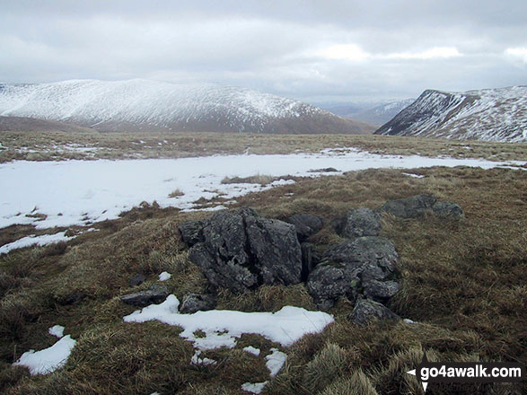
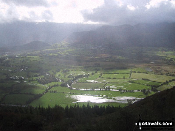
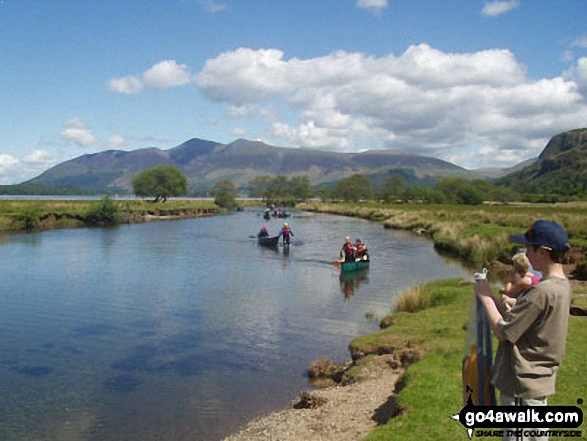
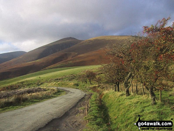
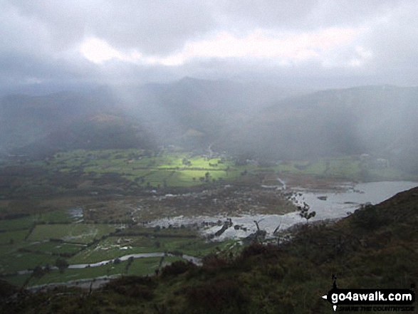
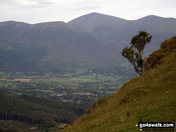
Great Calva and Whitewater Dash from The Cumbria Way at Melbecks, Back o' Skiddaw
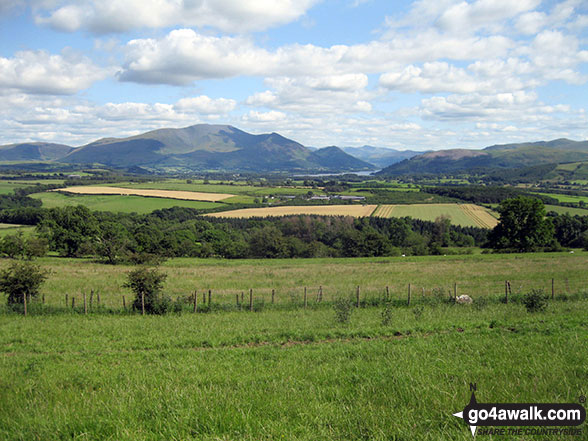
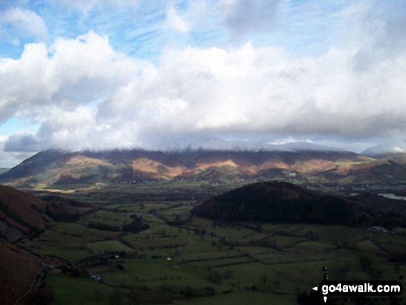
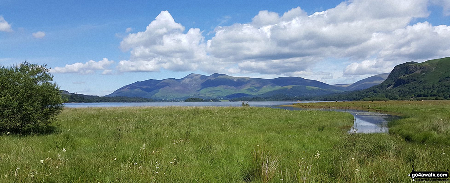
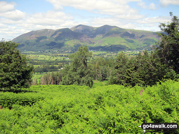
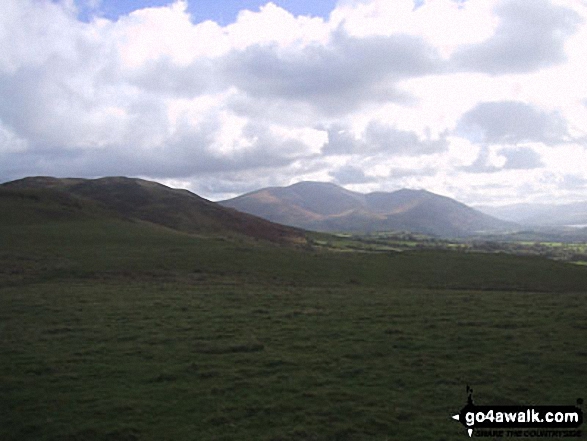
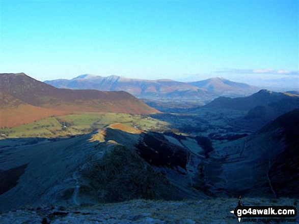
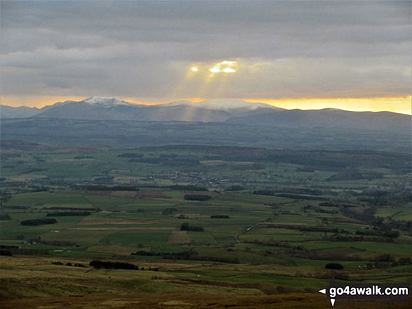
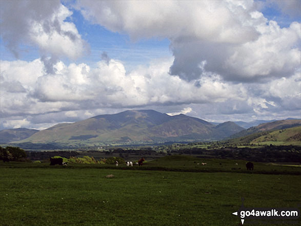
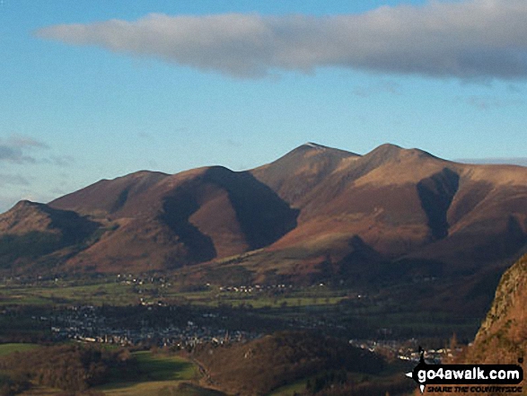
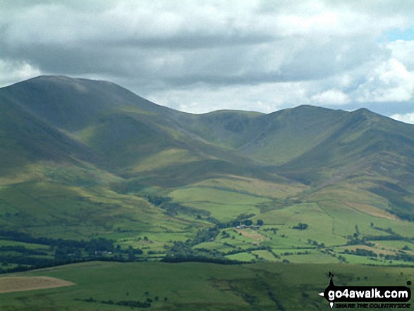
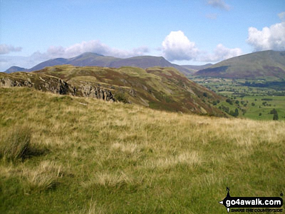
The Northern Fells (Binsey (left), Blencathra or Saddleback and Skiddaw), Bassenthwaite Lake and The North Western Fells (Sale Fell, Broom Fell, Lord's Seat and Barf) from the summit of Caermote Hill


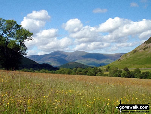
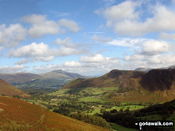
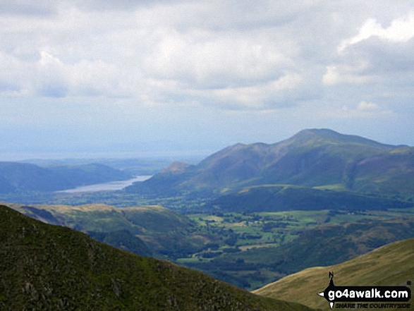
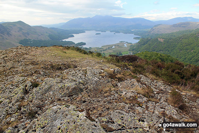
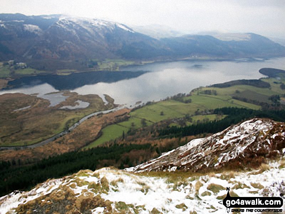
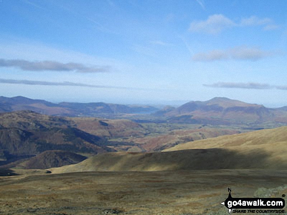
The Newlands Valley from High Spy with Bassenthwaite Lake in the distance and The Skiddaw Massif to the right
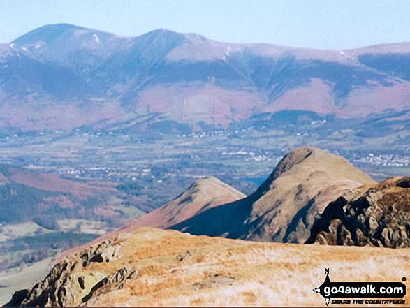
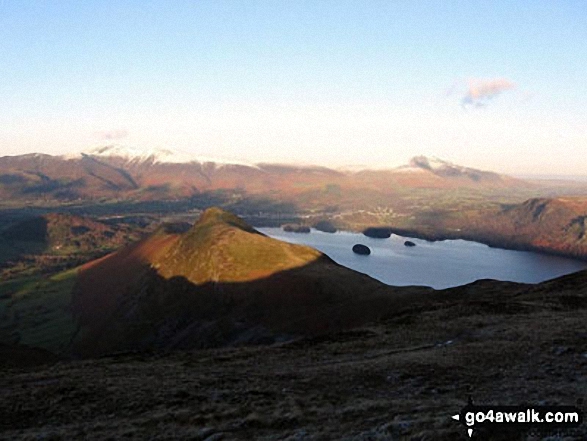
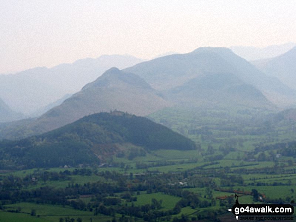
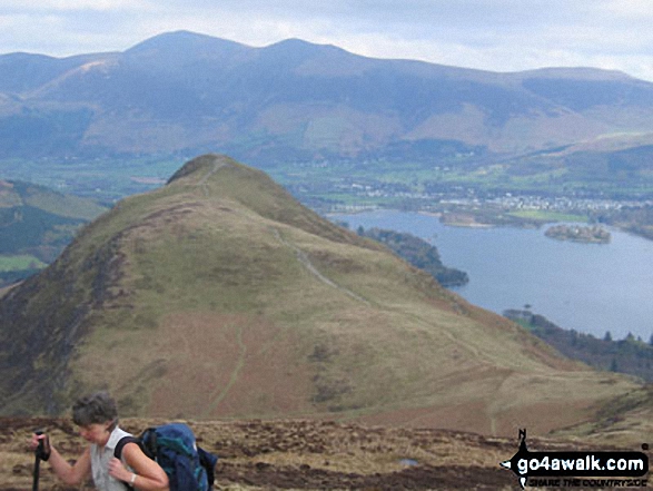
Skiddaw, Blencathra (or Saddleback) and Derwent Water from Cat Bells (Catbells)
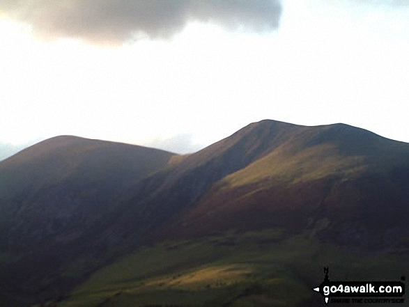
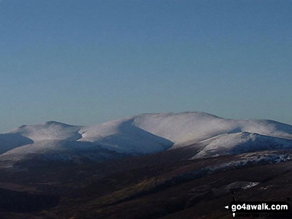
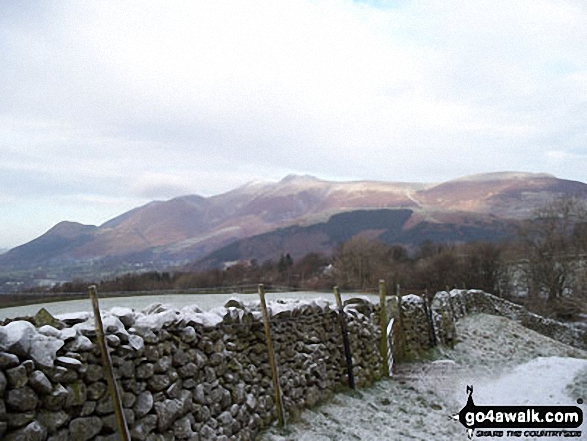
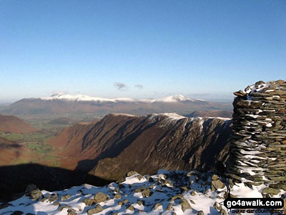
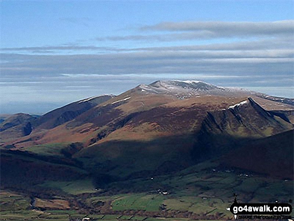
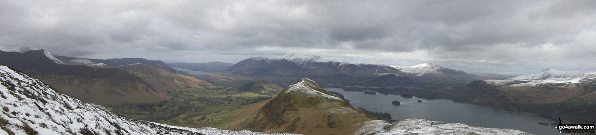
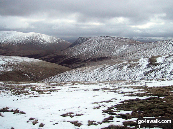
Snow on Carl Side (left), Skiddaw (centre) and Dodd (Skiddaw) across Bassenthwaite Lake from Woodend Brow
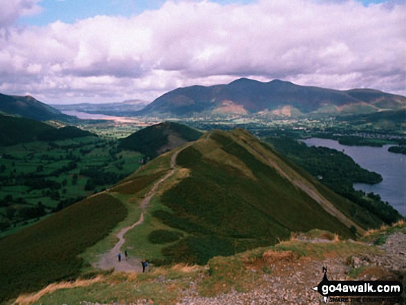
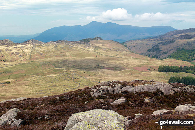
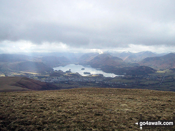
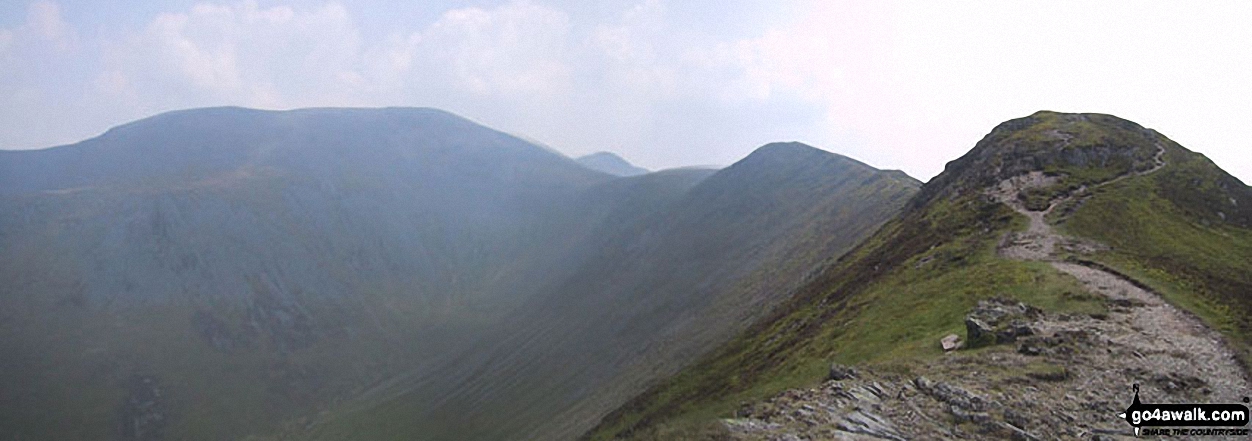
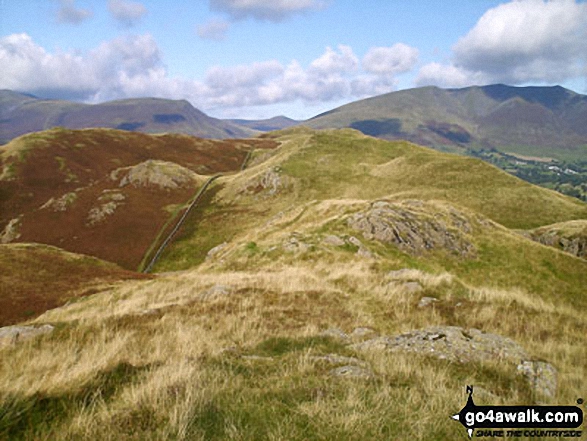
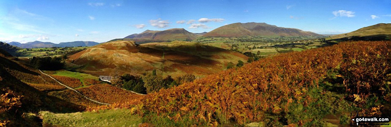
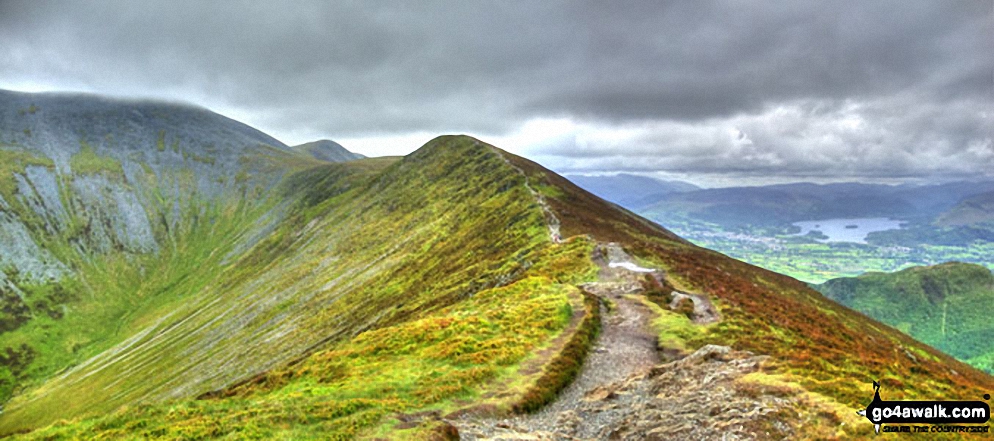
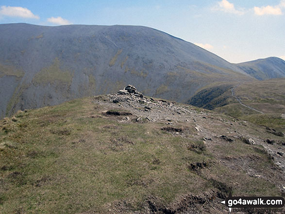
Skiddaw, Skiddaw (Little Man), Carl Side, Long Side, Longside Edge and the upper reaches of Southerndale from Ullock Pike
Keswick and The Skiddaw Masiff (distance) and Cat Bells (Catbells) (right) from Blea Crags
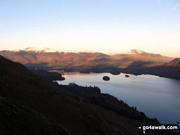
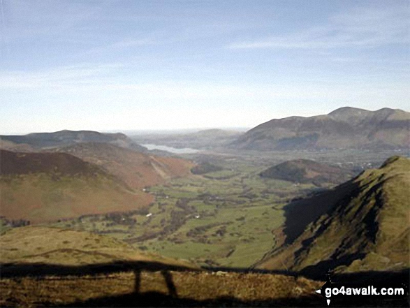
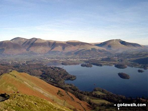
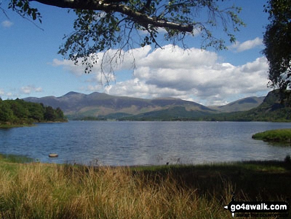
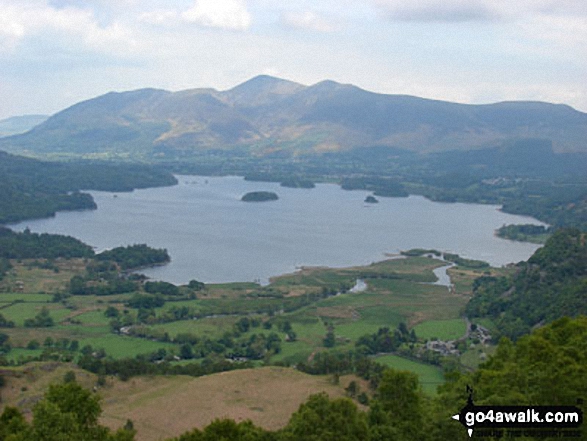
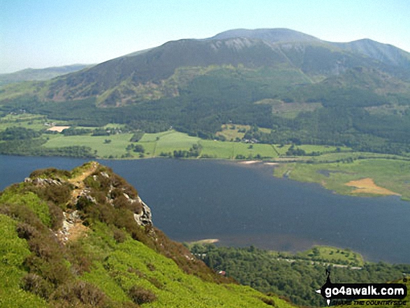
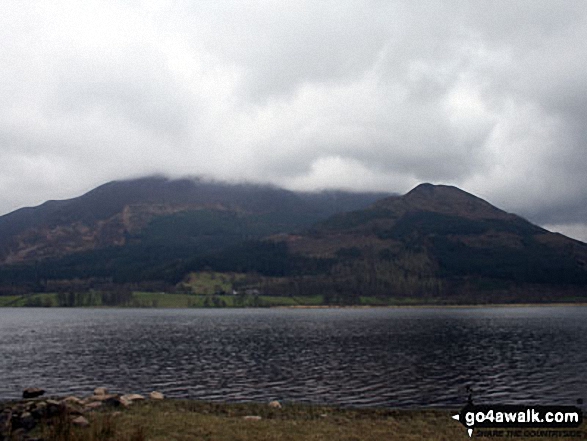
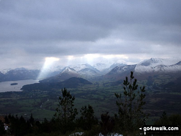
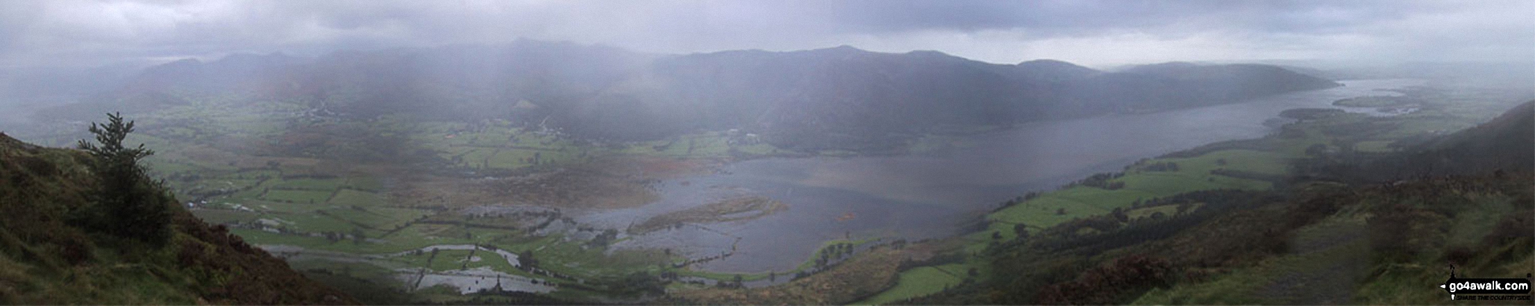
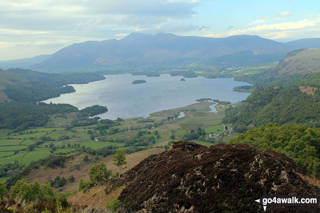
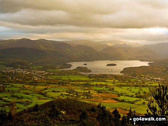
The Skiddaw massif along with Walla Crag (to the right) from the southern end of Derwent Water
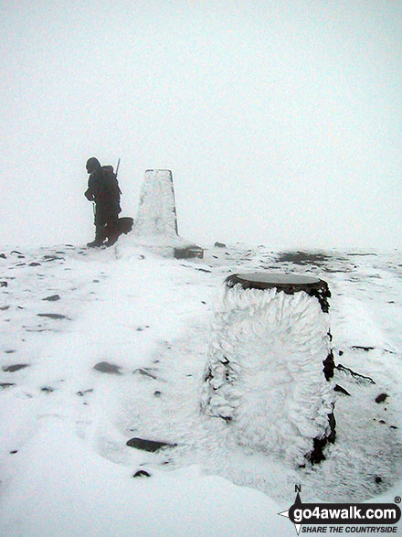
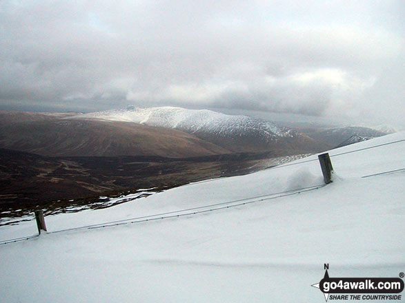
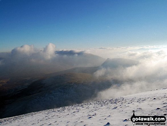
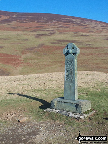
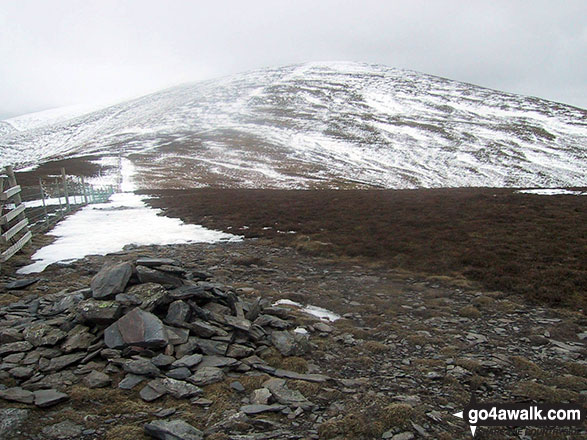
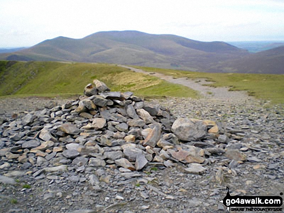
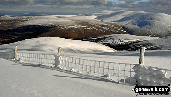
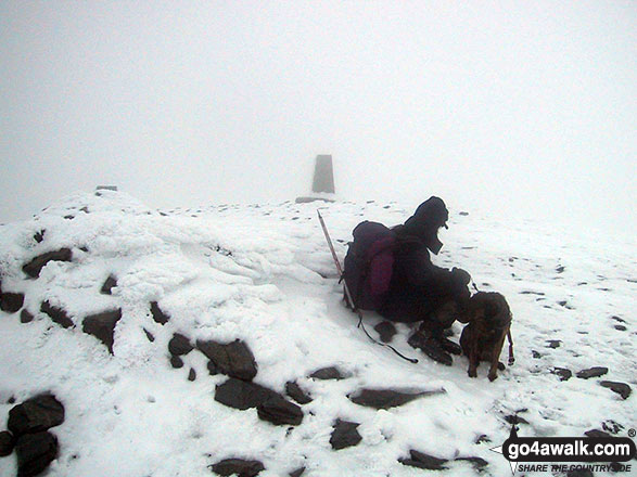
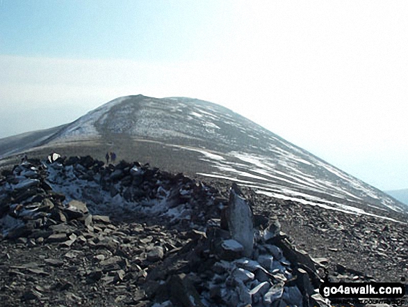
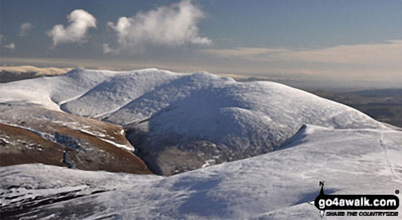
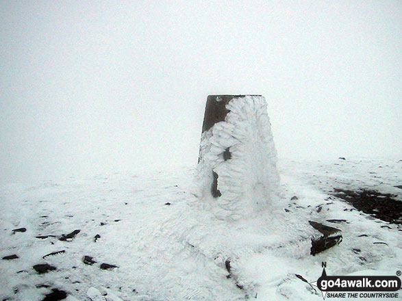
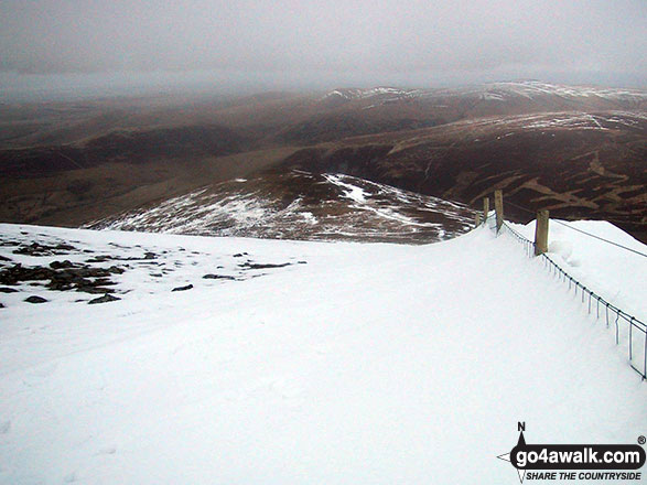
The trig point and viewpoint indicator on the summit of a very cold and snowy Skiddaw
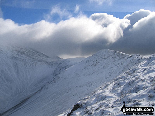
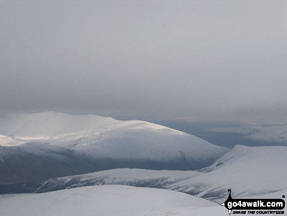
Bowscale Fell (left) and Blencathra or Saddleback with Sharp Edge clearly visible (centre right) in the snow from Sale How (Skiddaw)
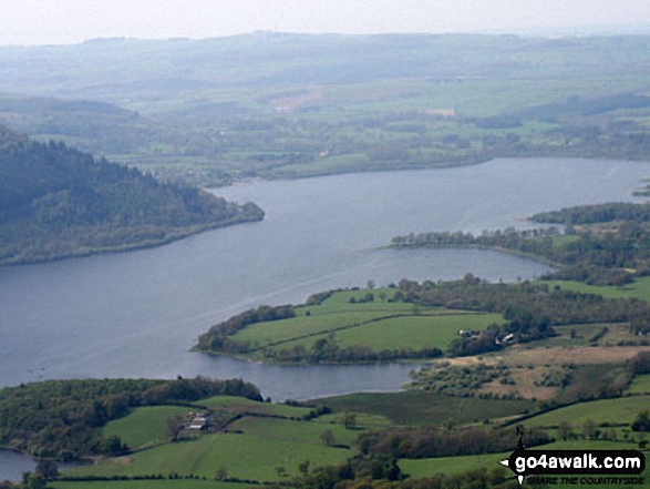
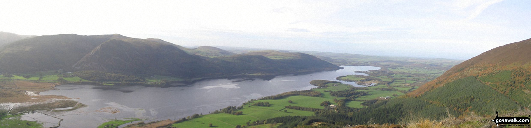
Long Side Edge, Skiddaw and Little Dodd (Skiddaw) from Hursthole Point, Bassenthwaite Lake

The Coledale Horseshoe from Crag Hill (Eel Crag) trig point featuring: Grasmoor, Grasmoor, Whiteside (Crummock) (West Top), Whiteside (Crummock), Gasgale Crags, Hopegill Head, Sand Hill, The top of Hobcarton Crag, Grisdale Pike, The Skiddaw massif, Blencathra (or Saddleback), Keswick, Sleet How, Outerside, Stile End, Sail, Causey Pike, Bleaberry Fell, High Seat, High Tove, The Southern Fells and The Western Fells

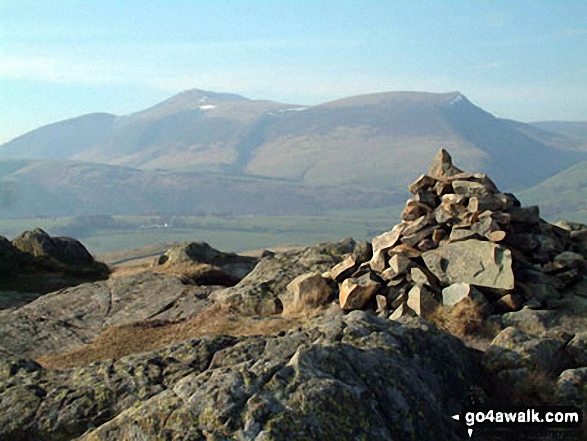
Sale Fell summit cairn with a snow topped Skiddaw looming in the distance
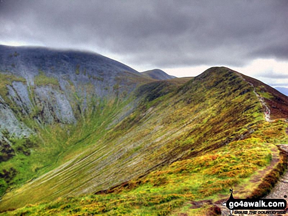
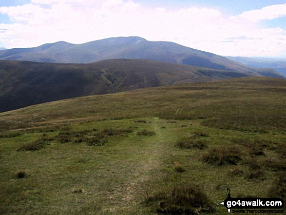
Great Calva, Burnt Horse, Blencathra and Lonscale Crags from (North of) Lonscale Fell
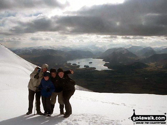
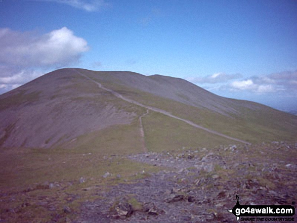
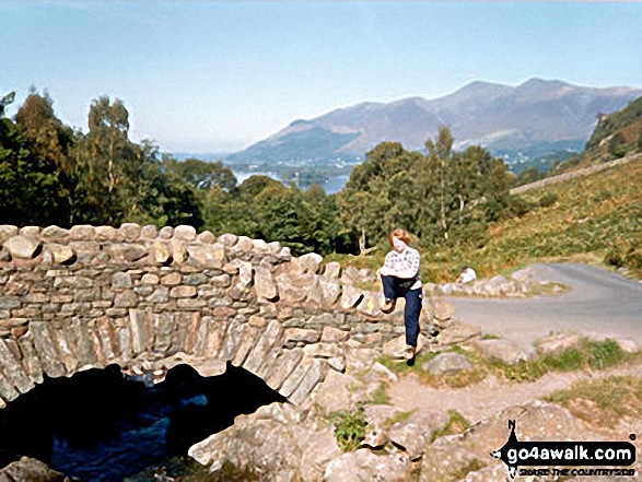
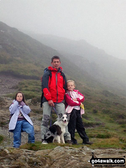
Myself, two of my sons, Matt and Richard, and my friend Gary between Skiddaw and Skiddaw Little Man on a bitter cold winters day!
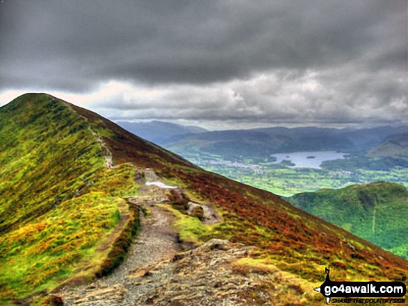
Carl Side (left), Long Side, Longside Edge, Derwent Water and Dodd (Skiddaw) from Ullock Pike
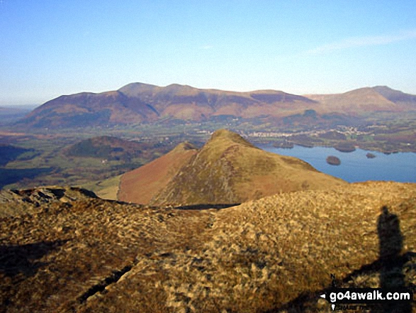
Cat Bells (Catbells) (foreground) with Derwent Water, Keswick and Skiddaw (centre left) and Blencathra (right) from Maiden Moor
Cat Bells (Catbells) (foreground) with Skiddaw and Blencathra (distance left) and Derwent Water from Maiden Moor
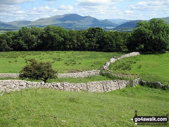
The view north from the summit of Swinside (Portinscale) featuring Skiddaw and Blencathra
The summit of King's How with Derwent Water and Skiddaw in the distance
*Great Calva, Burnt Horse, Blencathra (Saddleback) and Lonscale Crags from (North of) Lonscale Fell
Barrow and Rowling End, with Keswick and Derwent Water beyond and Skiddaw and Blecathra (or Saddleback) in the background from Causey Pike
Skiddaw and Blencathra in the distance and then High Spy and Maiden Moor forming the ridge on the right from the summit of Dale Head (Newlands)
Carl Side, Skiddaw and Lonscale Fell (centre left), Great Calva (centre) and Belncathra or Saddleback, Bannerdale Crags and Souther Fell (centre right) from the summit of High Rigg
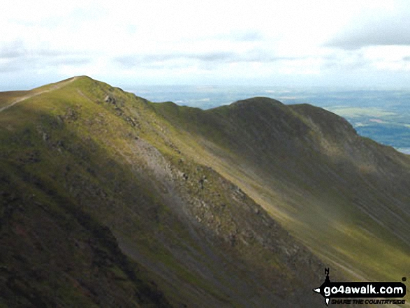
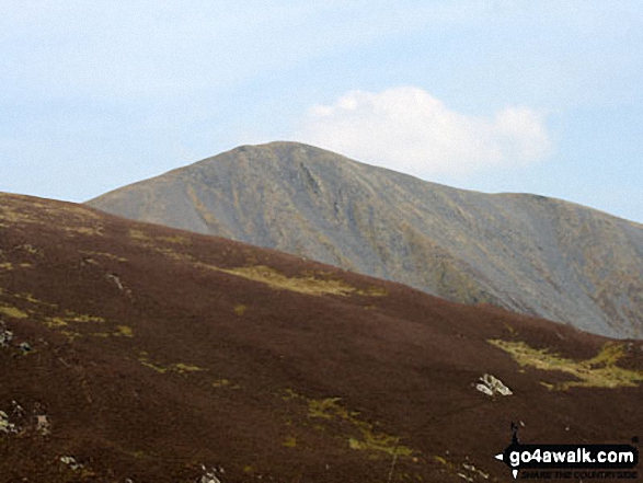
*Skiddaw, Little Man (Skiddaw), Carl Side, Longside Edge and Ullock Pike from The Edge
*Skiddaw from Blencathra or Saddleback (Hallsfell Top) with the Solway Firth in the distance
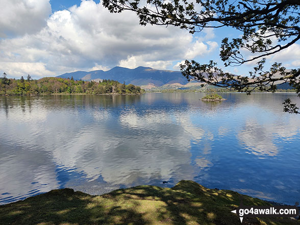
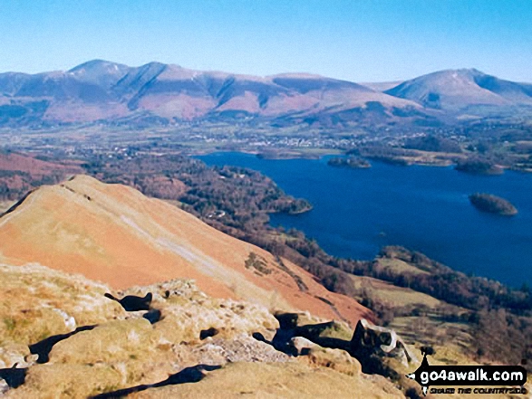
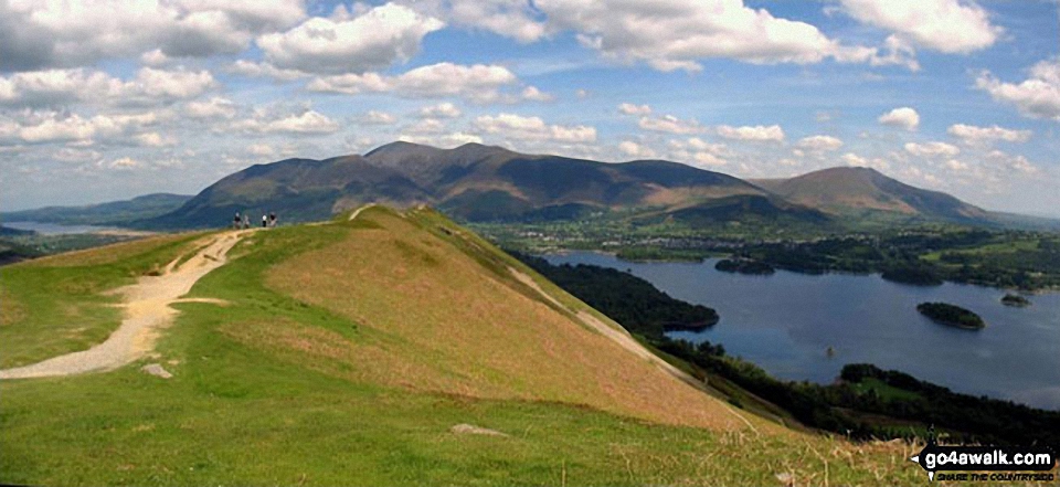
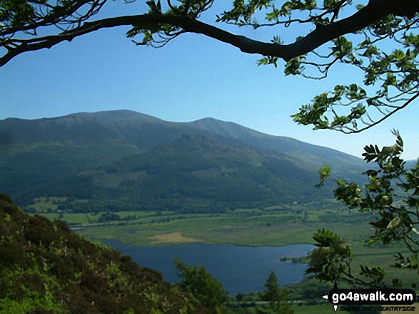
Bassenthwaite Lake, Skiddaw, Keswick and Derwent Water from Cat Bells (Catbells)
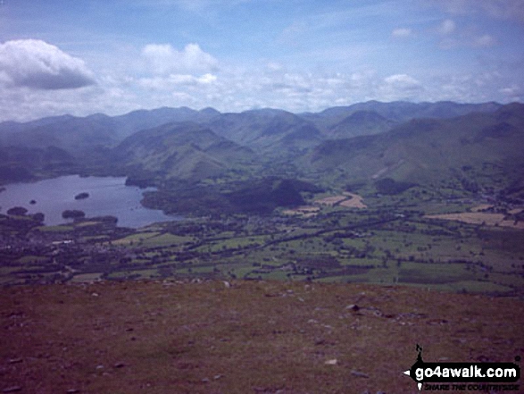
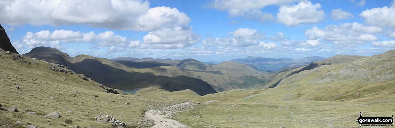
Skiddaw and Derwent Water (in distance) with Seathwaite Fell and Sprinkling Tarn (foreground) from Great End (Scafell Massif)
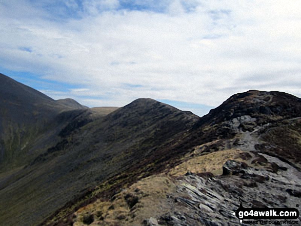
The Shoulder of Skiddaw (left) and Longside Edge from Ullock Pike with Little Man (Skiddaw) in the distance
The rocky summit of Sale How (Skiddaw) in the snow with Bowscale Fell (left) and Blencathra or Saddleback with Sharp Edge clearly visible (right) on the horizon
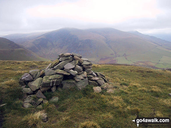
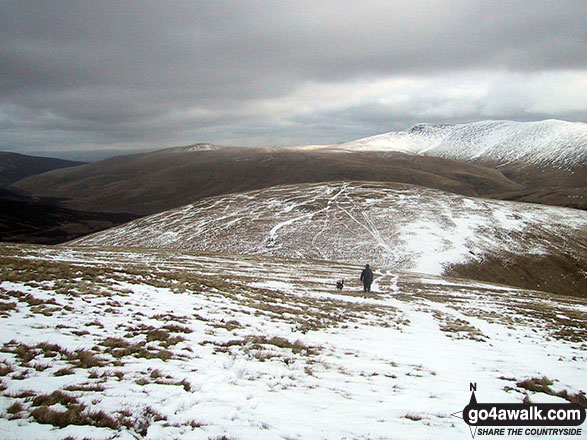
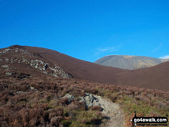
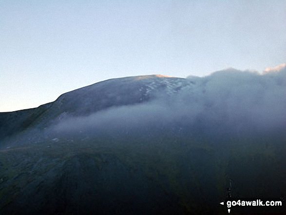
Birkett Edge, Bakestall and Skiddaw (in cloud) from the large cairn on the approach to Great Cockup
Looking North along the High Rigg Ridge to Skiddaw (left) and Blencathra or Saddleback (Hallsfell Top) (right)
Bassenthwaite Lake (far left), Skiddaw (left), Blencathra (or Saddleback) (right), Keswick and Derwent Water from Cat Bells (Catbells)
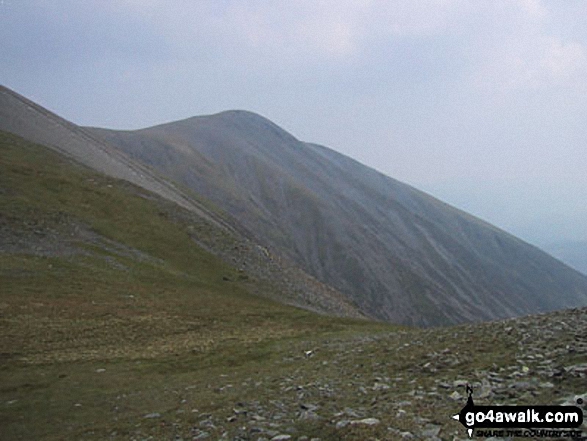
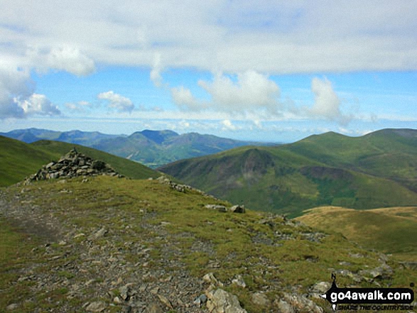
Sale How (foreground) Blencathra (centre) and Lonscale Fell (right) from Skiddaw
Sun and snow on Skiddaw and Blencathra from Black Fell (Haresceugh Fell)

Robinson, Crag Hill (Eel Crag), Sail, Causey Pike, Rowling End, The Skiddaw Masiff, Keswick, Cat Bells (Catbells) and High Crags from Blea Crags
The North Western Fells (far left distance), Carl Side, Skiddaw and Lonscale Fell (centre left), Great Calva (centre) and Belncathra or Saddleback, Bannerdale Crags and Souther Fell (centre right) and the shoulder of Clough Head (far right) from the summit of High Rigg
Ullock Pike, Carl Side, Skiddaw and Little Man (Skiddaw) from Cat Bells (Catbells)
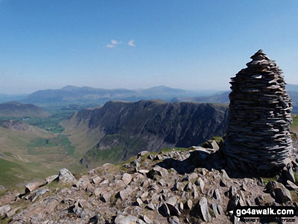
*Bakestall, Great Calva, Skiddaw House, Blencathra (Saddleback) and Lonscale Fell from Skiddaw
Derwent Water, with Skiddaw and Blencathra beyond from the summit of King's How
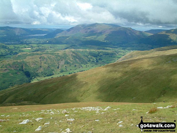
Looking North towards Skiddaw and Blencathra from the summit of Ill Bell across cloud trapped by a temperature inversion
Skiddaw, Skiddaw (Little Man), Carl Side (left), Long Side, Longside Edge, Derwent Water and Dodd (Skiddaw) and the upper reaches of Southerndale from Ullock Pike

High Spy (North Top), High Spy, Maiden Moor, Hindscarth (left), Robinson, Crag Hill (Eel Crag), Causey Pike, Barrow (Newlands) (centre), Newlands, Bassenthwaite Lake, Swinside, Skiddaw, Derwent Water and Blencathra (right) beyond from Cat Bells (Catbells)
A snow capped Blencathra or Saddleback (Hallsfell Top) viewed from the summit of Skiddaw
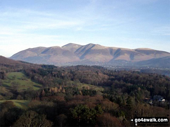
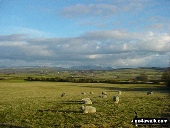
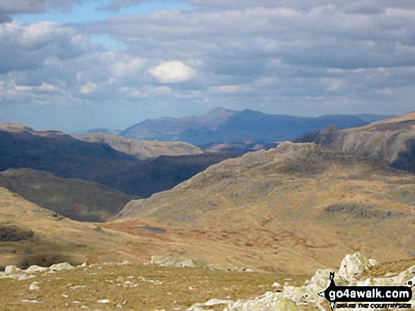
Looking towards Bassenthwaite and The Skiddaw Massif from Raise (Helvellyn)
Cat Bells (Catbells) from Maiden Moor The Newlands Horseshoe with Keswick and Skiddaw beyond
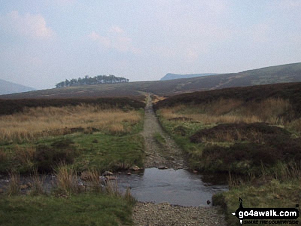
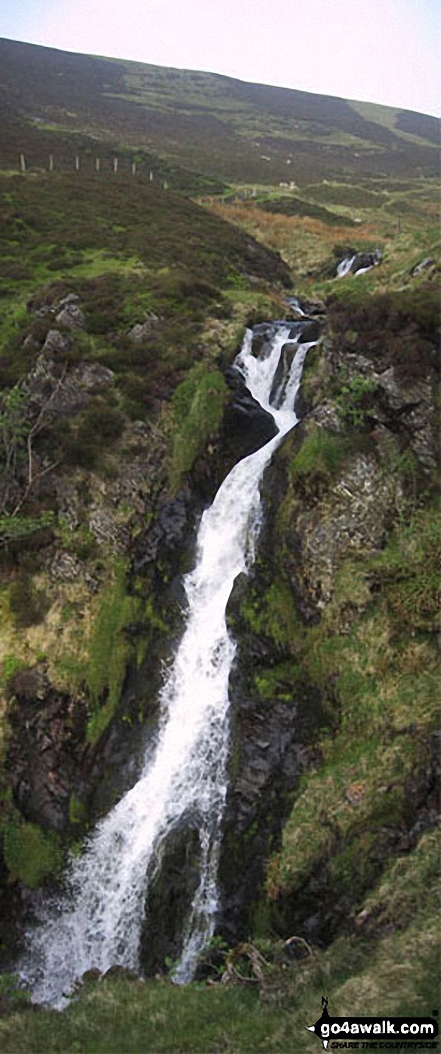
The Cumbria Way and Dash Beck from the top of Whitewater Dash (Waterfall), Back o' Skiddaw
Long Side Edge, Skiddaw and Little Dodd (Skiddaw) from Hursthole Point, Bassenthwaite Lake
Causey Pike (left), Bassenthwaite Lake, Newlands, Swinside, Cat Bells (Catbells) (centre), Derwent Water, Skiddaw , Blencathra and Walla Crag (far right) from Maiden Moor
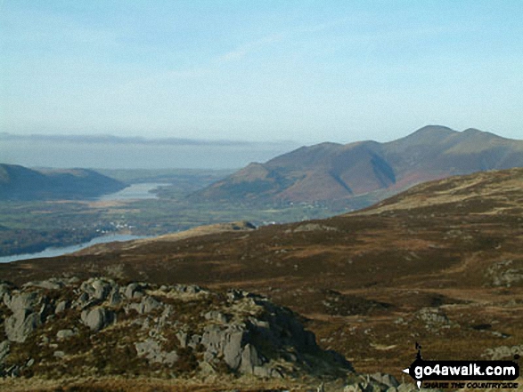
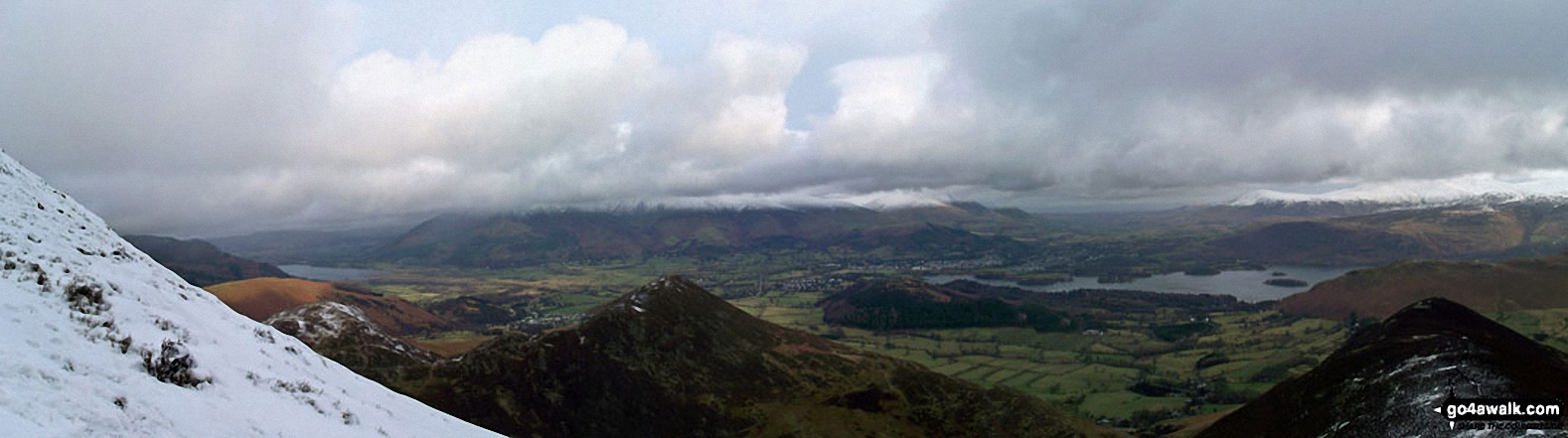
Derwent Water, Keswick, Bassenthwaite Lake and The Skiddaw Massif from High Seat
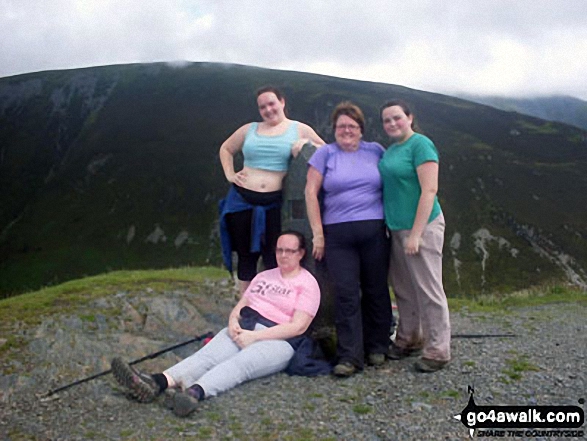
Family on top of Dodd (Skiddaw) with Ullock Pike, Longside Edge and Carl Side behind
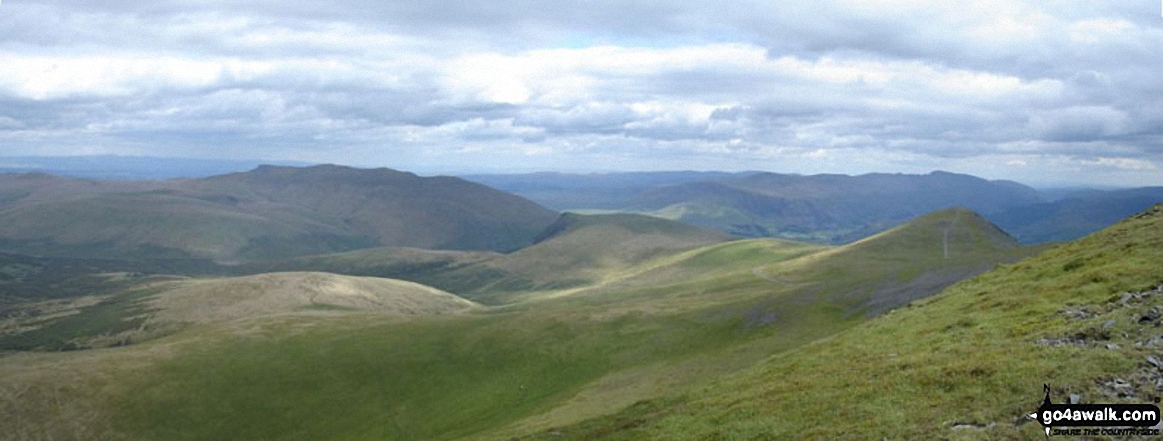
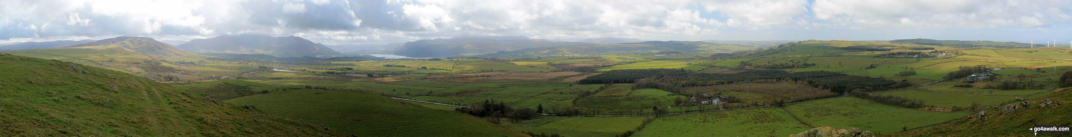
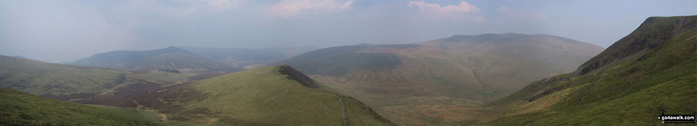
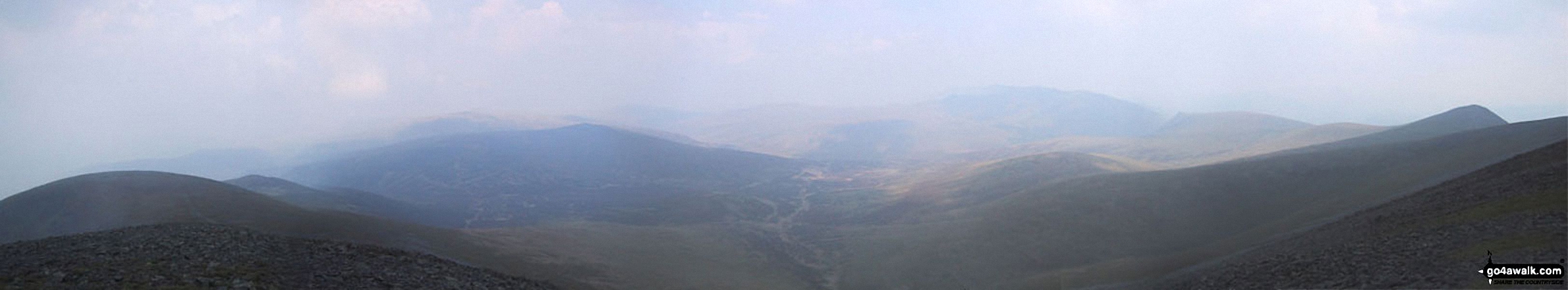
*Southeastern panorama from the summit of Skiddaw with Blencathra and Blease Fell silhouetted left of centre
Bowscale Fell (left) and Blencathra or Saddleback with Sharp Edge clearly visible (centre) with a dusting of snow from Skiddaw (Little Man)

Looking North along the High Rigg Ridge to Skiddaw (left) and Blencathra or Saddleback (Hallsfell Top) (right)
. . . see just 20 walk photographs & pictures of views from, on or of Skiddaw
Send us your photographs and pictures on, of, or from Skiddaw
If you would like to add your walk photographs and pictures featuring views from, on or of Skiddaw to this page, please send them as email attachments (configured for any computer) along with your name to:
and we shall do our best to publish them.
(Guide Resolution = 300dpi. At least = 660pixels (wide) x 440 pixels (high).)

You can also submit photos via our Facebook Page.
NB. Please indicate where each photo was taken and whether you wish us to credit your photos with a Username or your First Name/Last Name.
Not familiar with this top?


