
![]()
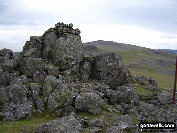
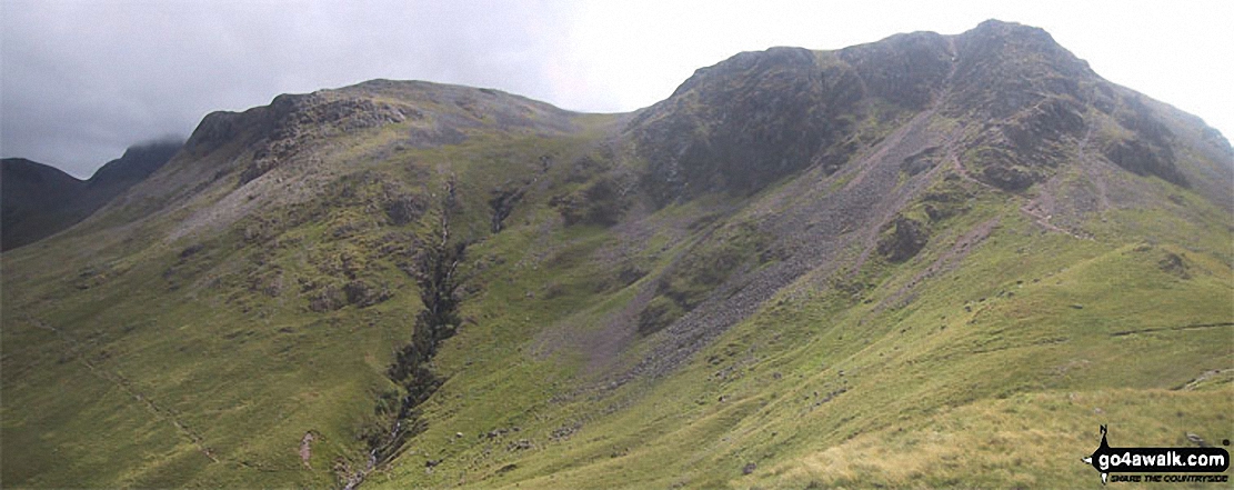
Kirk Fell (East Top)
787m (2583ft)
The Western Fells, The Lake District, Cumbria, England
Not familiar with this top?
   |
|---|
Vital Statistics:
| Length: | 7.5ml (12km) |
|---|---|
| Ascent: | 3,289ft (1,002m) |
| Time: | 6 hrs |
| Grade: |  (Moderate) (Moderate) |
Route Summary:
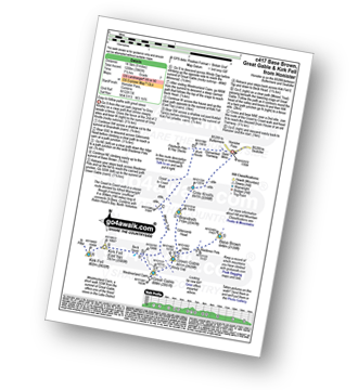
Honister Pass - Honister Hause - Grey Knotts - Brandreth - Green Gable - Windy Gap - Great Gable - Westmorland Cairn - Beck Head - Beckhead Tarn - Kirk Fell (East Top) - Kirk Fell - Moses' Trod - Wainwright's Coast to Coast Walk - Honister Pass
|
|---|
Vital Statistics:
| Length: | 7.75ml (12.5km) |
|---|---|
| Ascent: | 4,808ft (1,465m) |
| Time: | 7.75hrs |
| Grade: |  (Hard) (Hard) |
Route Summary:
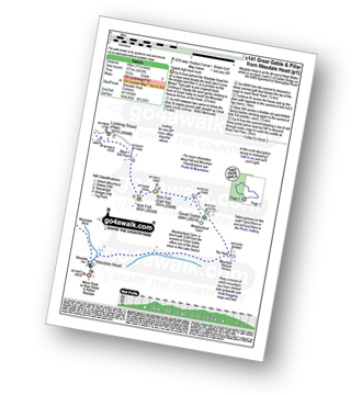
Wasdale Head - Kirk Fell - Kirk Fell (East Top) - Black Sail Pass - Looking Stead (Pillar) - High Level Route - Robinson's Cairn - Pillar - Wind Gap - Black Crag (Pillar) - Scoat Fell (Little Scoat Fell) - Steeple - Red Pike (Wasdale) - Dore Head - Mosedale Beck - Wasdale Head - Wast Water.
|
|---|
Vital Statistics:
| Length: | 8.5ml (13.5km) |
|---|---|
| Ascent: | 4,260ft (1,298m) |
| Time: | 7.25hrs |
| Grade: | (Hard) |
Route Summary:
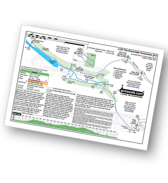
Honister Pass - Honister Hause - Green Crag (Buttermere) - Black Beck - Blackbeck Tarn - Innominate Tarn - Hay Stacks (Haystacks) - Scarth Gap - Ennerdale - River Liza - Black Sail Hut (Youth Hostel) - Black Sail Path - Kirk Fell - Kirk Fell (East Top) - Beckhead Tarn - Beck Head - Great Gable - Westmorland Cairn - Windy Gap - Green Gable - Gillercomb Head - Brandreth - Grey Knotts - Honister Hause.
|
|---|
Vital Statistics:
| Length: | 9ml (14.5km) |
|---|---|
| Ascent: | 3,965ft (1,208m) |
| Time: | 7½ hrs |
| Grade: | (Hard) |
Route Summary:
Honister Pass - Honister Hause - Grey Knotts - Brandreth - Blackmoor Pols - Base Brown - Mitchell Cove - Green Gable - Windy Gap - Great Gable - Westmorland Cairn - Beck Head - Beckhead Tarn - Kirk Fell (East Top) - Kirk Fell - Moses' Trod - Wainwright's Coast to Coast Walk - Honister Pass
|
|---|
Vital Statistics:
| Length: | 11.25ml (18km) |
|---|---|
| Ascent: | 5,819ft (1,773m) |
| Time: | 10 hrs |
| Grade: |  (Very Hard) (Very Hard) |
Route Summary:
Wasdale Head - Moses' Trod - Lingmell Beck - Gable Beck Bridge - Sty Head - Great Gable - Westmorland Cairn - Beck Head - Beckhead Tarn - Kirk Fell (East Top) - Kirk Fell - Black Sail Pass - Looking Stead (Pillar) - High Level Route - Robinson's Cairn - Pillar - Wind Gap - Black Crag (Pillar) - Scoat Fell (Little Scoat Fell) - Steeple - Red Pike (Wasdale) - Dore Head - Mosedale Beck - Wasdale Head - Wast Water.
|
|---|
Vital Statistics:
| Length: | 18.75ml (30km) |
|---|---|
| Ascent: | 7,309ft (2,408m) |
| Time: | 14.75hrs |
| Grade: | (Very Hard) |
Route Summary:
Bowness Knott Car Park Ennerdale - Low Gillerthwaite Field Centre - High Gillerthwaite Yourth Hostel - Red Pike (Buttermere) - High Stile - High Crag (Buttermere) - Seat (Buttermere) - Scarth Gap - Hay Stacks (Haystacks) - Innominate Tarn - Blackbeck Tarn - Black Beck - Green Crag (Buttermere) - Great Round How - Brandreth - Gillercomb Head - Green Gable - Windy Gap - Great Gable - Westmorland Cairn - Beck Head - Beckhead Tarn - Kirk Fell (East Top) - Kirk Fell - Black Sail Pass - Looking Stead (Pillar) - High Level Route - Robinson's Cairn - Pillar - Wind Gap - Black Crag (Pillar) - High Beck - Low Beck - Ennerdale.
See Kirk Fell (East Top) and the surrounding tops on our free-to-access 'Google Style' Peak Bagging Maps:
The Western Fells of The Lake District National Park
Less data - quicker to download
The Whole of The Lake District National Park
More data - might take a little longer to download
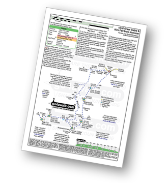
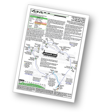
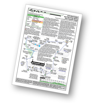
See Kirk Fell (East Top) and the surrounding tops on our downloadable Peak Bagging Maps in PDF format:

NB: Whether you print off a copy or download it to your phone, these PDF Peak Baggers' Maps might prove incredibly useful when your are up there on the tops and you cannot get a phone signal.
*This version is marked with the walk routes you need to follow to Walk all 214 Wainwrights in just 59 walks.
You can find Kirk Fell (East Top) & all the walks that climb it on these unique free-to-access Interactive Walk Planning Maps:
1:25,000 scale OS Explorer Map (orange/yellow covers):
1:50,000 scale OS Landranger Maps (pink/magenta covers):
 Fellow go4awalkers who have already walked, climbed, summited & bagged Kirk Fell (East Top)
Paul Macey walked up Kirk Fell (East Top) on June 6th, 2022 [from/via/route] C417 [with] Luke
Christine Shepherd climbed Kirk Fell (East Top) on July 4th, 2007 [from/via/route] Used walk c151 from Honister Climbed again on 23.08.2021 from Wasdale, the first fell in a long day's walking using walk c240. Added Yewbarrow to the end of the route from Dore Head. [with] On my own [weather] Hot - I was surprised how long the top of Kirk Fell was walking from one end to the other. On my second visit on 23.08.
Kevin Foster bagged Kirk Fell (East Top) on May 14th, 2021 [from/via/route] Honister Pass (slate mine). [with] By myself. [weather] Low clouds down on tops gradually lifting. - I remember climbing Kirk Fell many years ago from Ennerdale in thick mist thinking it was Great Gable. Imagine my disappointment when I found out it wasn't & I still had Gable to climb. Thankfully my map reading skills have improved since then. Anyway the clouds had completely lifted off Kirk Fell today so navigation was easy even if the climbing wasn't.
Caroline Winter hiked Kirk Fell (East Top) on August 2nd, 2020 [from/via/route] Wasdale Head, Kirkfell, East Top, Kirkfell crags, Mosedale Beck [with] Becky [weather] Rain morning, clearing later - Direct route up steep south side. 2 groups of Bob Graham challengers passed us. I found the steepness quite a struggle. Lunch in shelter at top before finding the sister top by descending to the tarn. Intended to include Pillar, but decided to add on to our Yewbarrow walk in a few days time. Pleasant descent of Mosedale beck & an early steak dinner at the Inn.
Chris Faulkner summited Kirk Fell (East Top) on February 16th, 2014 [from/via/route] Wasdale Head [with] Michelle Chandler [weather] Misty, rainy.
Simon Myerscough conquered Kirk Fell (East Top) on November 12th, 2006 [from/via/route] C151 [with] Martin [weather] Cloudy, windy & occasionally wet - Scramble on Kirk Fell, saw the remembrance day service on Great Gable from afar
Anthony Scott scaled Kirk Fell (East Top) on October 10th, 2016 [with] me [weather] Blue sky then white cloud. No wind
David Wand walked up Kirk Fell (East Top) on August 10th, 2011 [from/via/route] long walk as was doing as many in two days as poss. thunder storm all around me on the second night. [with] Long walk and camp on the hills.
Mark Davidson climbed Kirk Fell (East Top) on October 17th, 2005 [with] Mike [weather] Quite good for October - some good views
Iain Jones bagged Kirk Fell (East Top) on July 13th, 2016 [from/via/route] Wasdale Head
Darren Mortimer hiked Kirk Fell (East Top) on September 20th, 2014 [from/via/route] Wasdale Head up Black Sail pass & Kirk Fell crags [with] Dermot Palmer [weather] Overcast for most with mist on the summit.
Iain Taylor summited Kirk Fell (East Top) on July 28th, 2010 [from/via/route] Wast Water (NY 16811 06823)
Louise Sandwith, Patrick Rogozinski, Paul Booth, Paul Henderson, Trevor Williams, John Cuthbert, Stephen Millington and Ray O'hara have all walked, climbed & bagged Kirk Fell (East Top).
To add (or remove) your name and experiences on this page - Log On and edit your Personal Mountain Bagging Record
. . . [see less walk reports]
More Photographs & Pictures of views from, on or of Kirk Fell (East Top)
Send us your photographs and pictures on, of, or from Kirk Fell (East Top)
If you would like to add your walk photographs and pictures featuring views from, on or of Kirk Fell (East Top) to this page, please send them as email attachments (configured for any computer) along with your name to:
and we shall do our best to publish them.
(Guide Resolution = 300dpi. At least = 660pixels (wide) x 440 pixels (high).)

You can also submit photos via our Facebook Page.
NB. Please indicate where each photo was taken and whether you wish us to credit your photos with a Username or your First Name/Last Name.
Not familiar with this top?


