All The Mountains, Peaks, Tops and Hills in Scottish Region 3: Scottish Region 3: Loch Leven to Connel Bridge, Strath of Orchy and Glen Lochy as a detailed list

Scottish Region 3: Loch Leven to Connel Bridge, Strath of Orchy and Glen Lochy region is the area enclosed by an imaginary line connecting:


If you include the Marilyns, the Bridgets (Hills) and all the Mountains, Tops, Peaks and Hills with a Trig Point on them there are 63 tops to climb, bag & conquer and the highest point is Bidean nam Bian at 1,150m (3,774ft).

munro
26/0
Munros

corbett
13/0
Corbetts

graham
13/0
Grahams

donald
0/0
Donalds

murdo
46/0
Murdos

marilyn
62/0
Scottish
Marilyns

Bridget
1/0
Scottish
Bridget

Trig Point
15/0
Trig
Points


To see all Mountains, Peaks, Tops and Hills displayed in different ways - see the options in the left-hand column and towards the bottom of this page.


LOG ON and RELOAD this page to show which Mountains, Peaks, Tops and Hills you have already climbed, bagged & conquered [. . . more]


Page 1 of 3    Go to page: 1 2 3


See this list in: Alphabetical Order | Height Order
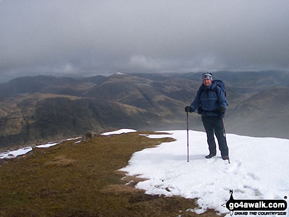
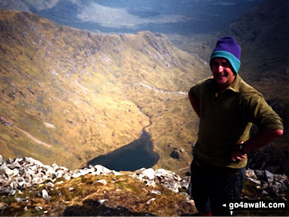
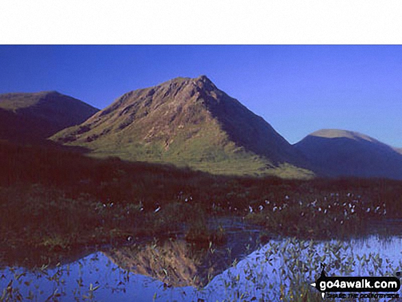
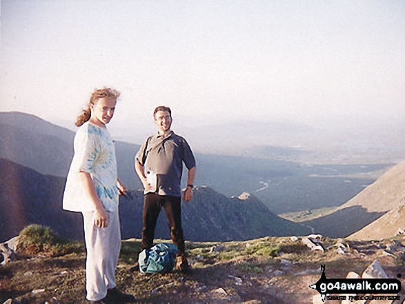
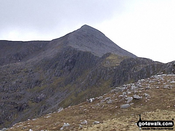
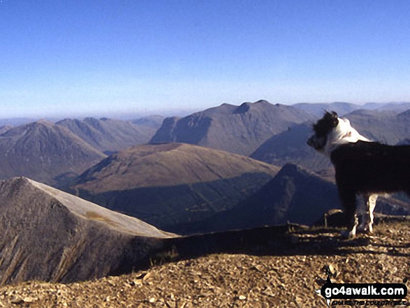
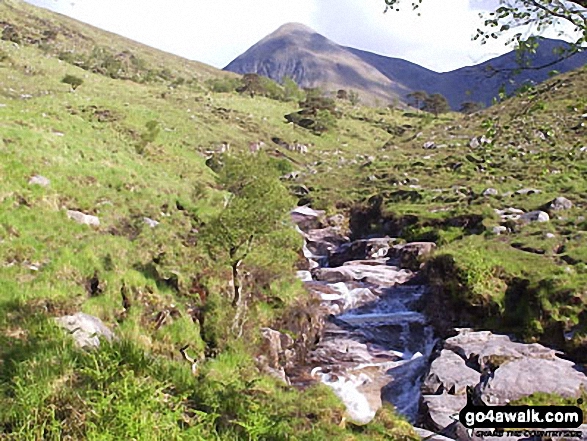
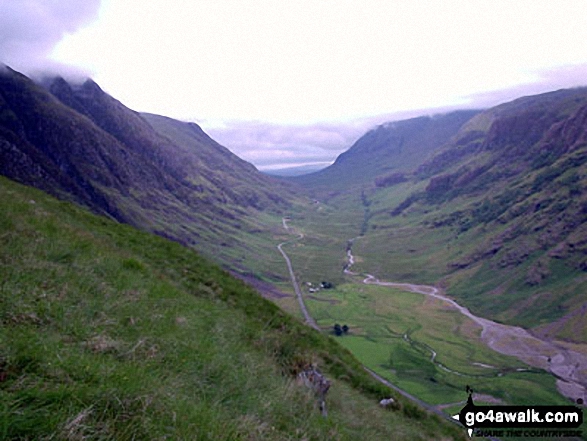
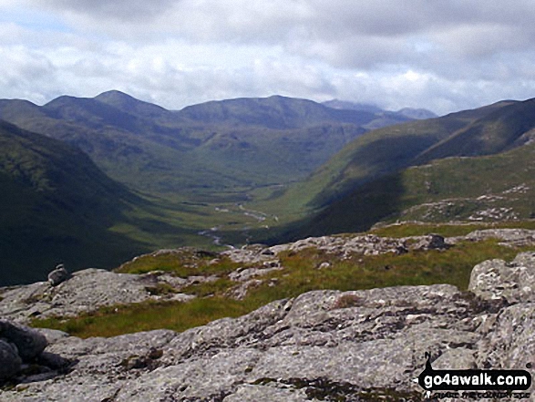
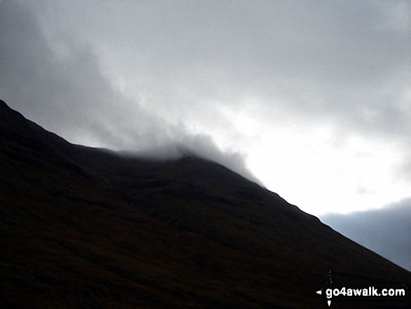
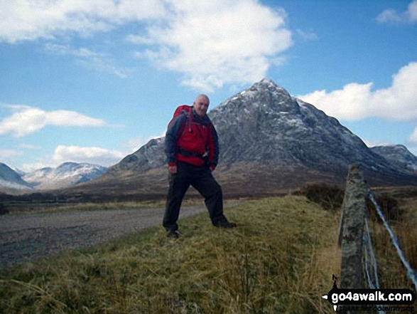
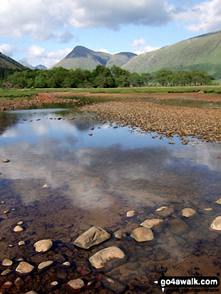
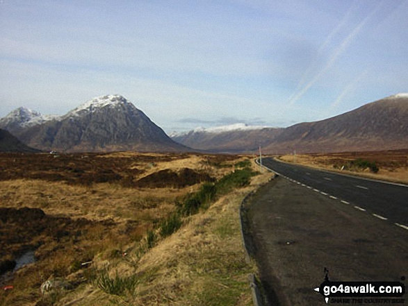
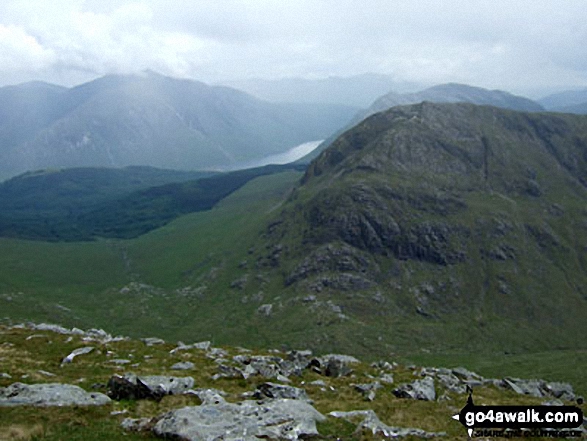
To reverse the order select the link again.


Mountain, Peak, Top or Hill:

Bagged


1. Bidean nam Bian

1,150m (3,774ft)

  • Munro (No. 24)
  • Murdo (32nd)
  • Marilyn (18th in Scotland, 18th in GB)

  • To walk, climb & bag Bidean nam Bian use any of these easy to follow walks:

    Google Maps Icon
    See the location of Bidean nam Bian and walks up it on a google Map

    Bidean nam Bian is on interactive maps:

  • OS Explorer (Orange Covers): 384
  • OS Landranger (Pink Covers): 41

  • A go4awalk.com Peak Bagging Map and Hill Tick List featuring Bidean nam Bian will be available soon.


    2. Ben Cruachan

    1,126m (3,696ft)

  • Munro (No. 31)
  • Murdo (42nd)
  • Marilyn (26th in Scotland, 26th in GB)
  • OS Trig Point
  • Ben Cruachan is used for hydro-electric power production with turbines located in a man-made cavern several hundred metres under the mountainside.


    To walk, climb & bag Ben Cruachan use this easy to follow walk:

    Google Maps Icon
    See the location of Ben Cruachan and walks up it on a google Map

    Ben Cruachan is on interactive maps:

  • OS Explorer (Orange Covers): 377
  • OS Landranger (Pink Covers): 50

  • A go4awalk.com Peak Bagging Map and Hill Tick List featuring Ben Cruachan will be available soon.


    3. Meall a' Bhuiridh

    1,108m (3,636ft)

  • Munro (No. 45)
  • Murdo (59th)
  • Marilyn (34th in Scotland, 34th in GB)

  • To walk, climb & bag Meall a' Bhuiridh use either of these easy to follow walks:

    Google Maps Icon
    See the location of Meall a' Bhuiridh and walks up it on a google Map

    Meall a' Bhuiridh is on interactive maps:

  • OS Explorer (Orange Covers): 384
  • OS Landranger (Pink Covers): 41

  • A go4awalk.com Peak Bagging Map and Hill Tick List featuring Meall a' Bhuiridh will be available soon.


    4. Creise

    1,100m (3,610ft)

  • Munro (No. 50)
  • Murdo (68th)
  • Marilyn (36th in Scotland, 36th in GB)

  • To walk, climb & bag Creise use either of these easy to follow walks:

    Google Maps Icon
    See the location of Creise and walks up it on a google Map

    Creise is on interactive maps:

  • OS Explorer (Orange Covers): 384
  • OS Landranger (Pink Covers): 41

  • A go4awalk.com Peak Bagging Map and Hill Tick List featuring Creise will be available soon.


    5. Stob Ghabhar

    1,090m (3,577ft)

  • Munro (No. 55)
  • Murdo (75th)
  • Marilyn (41st in Scotland, 41st in GB)

  • To walk, climb & bag Stob Ghabhar use this easy to follow walk:

    Google Maps Icon
    See the location of Stob Ghabhar and walks up it on a google Map

    Stob Ghabhar is on interactive maps:

  • OS Explorer (Orange Covers): 377
  • OS Landranger (Pink Covers): 50

  • A go4awalk.com Peak Bagging Map and Hill Tick List featuring Stob Ghabhar will be available soon.


    6. Ben Starav

    1,078m (3,538ft)

  • Munro (No. 62)
  • Murdo (84th)
  • Marilyn (49th in Scotland, 50th in GB)
  • OS Trig Point

  • We hope to have walks that climb & bag Ben Starav very soon

    Google Maps Icon
    See the location of Ben Starav and walks up it on a google Map

    Ben Starav is on interactive maps:

  • OS Explorer (Orange Covers): 377
  • OS Landranger (Pink Covers): 50

  • A go4awalk.com Peak Bagging Map and Hill Tick List featuring Ben Starav will be available soon.


    7. Stob Coir an Albannaich

    1,044m (3,426ft)

  • Munro (No. 89)
  • Murdo (121st)
  • Marilyn (69th in Scotland, 71st in GB)

  • We hope to have walks that climb & bag Stob Coir an Albannaich very soon

    Google Maps Icon
    See the location of Stob Coir an Albannaich and walks up it on a google Map

    Stob Coir an Albannaich is on interactive maps:

  • OS Explorer (Orange Covers): 377
  • OS Landranger (Pink Covers): 50

  • A go4awalk.com Peak Bagging Map and Hill Tick List featuring Stob Coir an Albannaich will be available soon.


    8. Sgorr Dhearg (Beinn a' Bheithir)

    1,024m (3,361ft)

  • Munro (No. 107)
  • Murdo (149th)
  • Marilyn (86th in Scotland, 88th in GB)
  • OS Trig Point

  • To walk, climb & bag Sgorr Dhearg (Beinn a' Bheithir) use this easy to follow walk:

    Google Maps Icon
    See the location of Sgorr Dhearg (Beinn a' Bheithir) and walks up it on a google Map

    Sgorr Dhearg (Beinn a' Bheithir) is on interactive maps:

  • OS Explorer (Orange Covers): 384
  • OS Landranger (Pink Covers): 41

  • A go4awalk.com Peak Bagging Map and Hill Tick List featuring Sgorr Dhearg (Beinn a' Bheithir) will be available soon.


    9. Buachaille Etive Mor (Stob Dearg)

    1,021m (3,351ft)

  • Munro (No. 109)
  • Murdo (152nd)
  • Marilyn (88th in Scotland, 90th in GB)

  • To walk, climb & bag Buachaille Etive Mor (Stob Dearg) use either of these easy to follow walks:

    Google Maps Icon
    See the location of Buachaille Etive Mor (Stob Dearg) and walks up it on a google Map

    Buachaille Etive Mor (Stob Dearg) is on interactive maps:

  • OS Explorer (Orange Covers): 384
  • OS Landranger (Pink Covers): 41

  • A go4awalk.com Peak Bagging Map and Hill Tick List featuring Buachaille Etive Mor (Stob Dearg) will be available soon.


    10. Sgorr Dhonuill (Beinn a' Bheithir)

    1,001m (3,285ft)

  • Munro (No. 137)
  • Murdo (192nd)
  • Marilyn (108th in Scotland, 110th in GB)

  • To walk, climb & bag Sgorr Dhonuill (Beinn a' Bheithir) use this easy to follow walk:

    Google Maps Icon
    See the location of Sgorr Dhonuill (Beinn a' Bheithir) and walks up it on a google Map

    Sgorr Dhonuill (Beinn a' Bheithir) is on interactive maps:

  • OS Explorer (Orange Covers): 384
  • OS Landranger (Pink Covers): 41

  • A go4awalk.com Peak Bagging Map and Hill Tick List featuring Sgorr Dhonuill (Beinn a' Bheithir) will be available soon.


    11. Glas Bheinn Mhor (Glen Etive)

    997m (3,272ft)

  • Munro (No. 144)
  • Murdo (205th)
  • Marilyn (113th in Scotland, 116th in GB)

  • We hope to have walks that climb & bag Glas Bheinn Mhor (Glen Etive) very soon

    Google Maps Icon
    See the location of Glas Bheinn Mhor (Glen Etive) and walks up it on a google Map

    Glas Bheinn Mhor (Glen Etive) is on interactive maps:

  • OS Explorer (Orange Covers): 377
  • OS Landranger (Pink Covers): 50

  • A go4awalk.com Peak Bagging Map and Hill Tick List featuring Glas Bheinn Mhor (Glen Etive) will be available soon.


    12. Sgurr na h-Ulaidh

    994m (3,262ft)

  • Munro (No. 149)
  • Murdo (212th)
  • Marilyn (117th in Scotland, 120th in GB)

  • We hope to have walks that climb & bag Sgurr na h-Ulaidh very soon

    Google Maps Icon
    See the location of Sgurr na h-Ulaidh and walks up it on a google Map

    Sgurr na h-Ulaidh is on interactive maps:

  • OS Explorer (Orange Covers): 384
  • OS Landranger (Pink Covers): 41

  • A go4awalk.com Peak Bagging Map and Hill Tick List featuring Sgurr na h-Ulaidh will be available soon.


    13. Beinn Eunaich

    989m (3,246ft)

  • Munro (No. 156)
  • Murdo (222nd)
  • Marilyn (123rd in Scotland, 126th in GB)

  • To walk, climb & bag Beinn Eunaich use this easy to follow walk:

    Google Maps Icon
    See the location of Beinn Eunaich and walks up it on a google Map

    Beinn Eunaich is on interactive maps:

  • OS Explorer (Orange Covers): 377
  • OS Landranger (Pink Covers): 50

  • A go4awalk.com Peak Bagging Map and Hill Tick List featuring Beinn Eunaich will be available soon.


    14. Beinn a' Chochuill

    980m (3,216ft)

  • Munro (No. 173)
  • Murdo (244th)
  • Marilyn (133rd in Scotland, 136th in GB)

  • To walk, climb & bag Beinn a' Chochuill use this easy to follow walk:

    Google Maps Icon
    See the location of Beinn a' Chochuill and walks up it on a google Map

    Beinn a' Chochuill is on interactive maps:

  • OS Explorer (Orange Covers): 377
  • OS Landranger (Pink Covers): 50

  • A go4awalk.com Peak Bagging Map and Hill Tick List featuring Beinn a' Chochuill will be available soon.


    15. Sgorr nam Fiannaidh (Aonach Eagach)

    967m (3,174ft)

  • Munro (No. 187)
  • Murdo (273rd)
  • Marilyn (143rd in Scotland, 147th in GB)
  • OS Trig Point

  • To walk, climb & bag Sgorr nam Fiannaidh (Aonach Eagach) use either of these easy to follow walks:

    Google Maps Icon
    See the location of Sgorr nam Fiannaidh (Aonach Eagach) and walks up it on a google Map

    Sgorr nam Fiannaidh (Aonach Eagach) is on interactive maps:

  • OS Explorer (Orange Covers): 384
  • OS Landranger (Pink Covers): 41

  • A go4awalk.com Peak Bagging Map and Hill Tick List featuring Sgorr nam Fiannaidh (Aonach Eagach) will be available soon.


    16. Beinn nan Aighenan

    960m (3,151ft)

  • Munro (No. 196)
  • Murdo (291st)
  • Marilyn (150th in Scotland, 154th in GB)

  • We hope to have walks that climb & bag Beinn nan Aighenan very soon

    Google Maps Icon
    See the location of Beinn nan Aighenan and walks up it on a google Map

    Beinn nan Aighenan is on interactive maps:

  • OS Explorer (Orange Covers): 377
  • OS Landranger (Pink Covers): 50

  • A go4awalk.com Peak Bagging Map and Hill Tick List featuring Beinn nan Aighenan will be available soon.


    17. Beinn Fhionnlaidh (Glen Creran)

    959m (3,147ft)

  • Munro (No. 199)
  • Murdo (297th)
  • Marilyn (152nd in Scotland, 156th in GB)
  • OS Trig Point

  • We hope to have walks that climb & bag Beinn Fhionnlaidh (Glen Creran) very soon

    Google Maps Icon
    See the location of Beinn Fhionnlaidh (Glen Creran) and walks up it on a google Map

    Beinn Fhionnlaidh (Glen Creran) is on interactive maps:

  • OS Explorer (Orange Covers): 384
  • OS Landranger (Pink Covers): 50

  • A go4awalk.com Peak Bagging Map and Hill Tick List featuring Beinn Fhionnlaidh (Glen Creran) will be available soon.


    18. Buachaille Etive Beag (Stob Dubh)

    958m (3,144ft)

  • Munro (No. 200)
  • Murdo (299th)
  • Marilyn (154th in Scotland, 158th in GB)

  • To walk, climb & bag Buachaille Etive Beag (Stob Dubh) use any of these easy to follow walks:

    Google Maps Icon
    See the location of Buachaille Etive Beag (Stob Dubh) and walks up it on a google Map

    Buachaille Etive Beag (Stob Dubh) is on interactive maps:

  • OS Explorer (Orange Covers): 384
  • OS Landranger (Pink Covers): 41

  • A go4awalk.com Peak Bagging Map and Hill Tick List featuring Buachaille Etive Beag (Stob Dubh) will be available soon.


    19. Stob a' Choire Odhair (Black Mount)

    945m (3,101ft)

  • Munro (No. 225)
  • Murdo (337th)
  • Marilyn (167th in Scotland, 173rd in GB)

  • To walk, climb & bag Stob a' Choire Odhair (Black Mount) use this easy to follow walk:

    Google Maps Icon
    See the location of Stob a' Choire Odhair (Black Mount) and walks up it on a google Map

    Stob a' Choire Odhair (Black Mount) is on interactive maps:

  • OS Explorer (Orange Covers): 377 and 384
  • OS Landranger (Pink Covers): 50

  • A go4awalk.com Peak Bagging Map and Hill Tick List featuring Stob a' Choire Odhair (Black Mount) will be available soon.


    20. Beinn Sgulaird

    937m (3,075ft)

  • Munro (No. 238)
  • Murdo (363rd)
  • Marilyn (175th in Scotland, 181st in GB)

  • We hope to have walks that climb & bag Beinn Sgulaird very soon

    Google Maps Icon
    See the location of Beinn Sgulaird and walks up it on a google Map

    Beinn Sgulaird is on interactive maps:

  • OS Explorer (Orange Covers): 384
  • OS Landranger (Pink Covers): 50

  • A go4awalk.com Peak Bagging Map and Hill Tick List featuring Beinn Sgulaird will be available soon.


    21. Meall nan Eun (Lorn)

    928m (3,046ft)

  • Munro (No. 253)
  • Murdo (387th)
  • Marilyn (185th in Scotland, 192nd in GB)

  • We hope to have walks that climb & bag Meall nan Eun (Lorn) very soon

    Google Maps Icon
    See the location of Meall nan Eun (Lorn) and walks up it on a google Map

    Meall nan Eun (Lorn) is on interactive maps:

  • OS Explorer (Orange Covers): 377
  • OS Landranger (Pink Covers): 50

  • A go4awalk.com Peak Bagging Map and Hill Tick List featuring Meall nan Eun (Lorn) will be available soon.


    22. Stob Coire Raineach (Buachaille Etive Beag)

    925m (3,036ft)

  • Munro (No. 263)
  • Murdo (403rd)
  • Marilyn (193rd in Scotland, 200th in GB)

  • To walk, climb & bag Stob Coire Raineach (Buachaille Etive Beag) use any of these easy to follow walks:

    Google Maps Icon
    See the location of Stob Coire Raineach (Buachaille Etive Beag) and walks up it on a google Map

    Stob Coire Raineach (Buachaille Etive Beag) is on interactive maps:

  • OS Explorer (Orange Covers): 384
  • OS Landranger (Pink Covers): 41

  • A go4awalk.com Peak Bagging Map and Hill Tick List featuring Stob Coire Raineach (Buachaille Etive Beag) will be available soon.


    23. Beinn Maol Chaluim

    907m (2,977ft)

  • Corbett (12th)
  • Marilyn (215th in Scotland, 224th in GB)

  • We hope to have walks that climb & bag Beinn Maol Chaluim very soon

    Google Maps Icon
    See the location of Beinn Maol Chaluim and walks up it on a google Map

    Beinn Maol Chaluim is on interactive maps:

  • OS Explorer (Orange Covers): 384
  • OS Landranger (Pink Covers): 41

  • A go4awalk.com Peak Bagging Map and Hill Tick List featuring Beinn Maol Chaluim will be available soon.


    24. Beinn a' Bhuiridh

    897m (2,944ft)

  • Corbett (26th)
  • Marilyn (229th in Scotland, 241st in GB)

  • To walk, climb & bag Beinn a' Bhuiridh use this easy to follow walk:

    Google Maps Icon
    See the location of Beinn a' Bhuiridh and walks up it on a google Map

    Beinn a' Bhuiridh is on interactive maps:

  • OS Explorer (Orange Covers): 377
  • OS Landranger (Pink Covers): 50

  • A go4awalk.com Peak Bagging Map and Hill Tick List featuring Beinn a' Bhuiridh will be available soon.


    25. Stob Dubh (Glen Etive)

    883m (2,898ft)

  • Corbett (45th)
  • Marilyn (248th in Scotland, 264th in GB)

  • We hope to have walks that climb & bag Stob Dubh (Glen Etive) very soon

    Google Maps Icon
    See the location of Stob Dubh (Glen Etive) and walks up it on a google Map

    Stob Dubh (Glen Etive) is on interactive maps:

  • OS Explorer (Orange Covers): 384
  • OS Landranger (Pink Covers): 50

  • A go4awalk.com Peak Bagging Map and Hill Tick List featuring Stob Dubh (Glen Etive) will be available soon.


    26. Fraochaidh

    879m (2,885ft)

  • Corbett (51st)
  • Marilyn (253rd in Scotland, 269th in GB)

  • We hope to have walks that climb & bag Fraochaidh very soon

    Google Maps Icon
    See the location of Fraochaidh and walks up it on a google Map

    Fraochaidh is on interactive maps:

  • OS Explorer (Orange Covers): 384
  • OS Landranger (Pink Covers): 41

  • A go4awalk.com Peak Bagging Map and Hill Tick List featuring Fraochaidh will be available soon.


    27. Garbh Bheinn (Loch Leven)

    867m (2,845ft)

  • Corbett (66th)
  • Marilyn (270th in Scotland, 289th in GB)

  • We hope to have walks that climb & bag Garbh Bheinn (Loch Leven) very soon

    Google Maps Icon
    See the location of Garbh Bheinn (Loch Leven) and walks up it on a google Map

    Garbh Bheinn (Loch Leven) is on interactive maps:

  • OS Explorer (Orange Covers): 384
  • OS Landranger (Pink Covers): 41

  • A go4awalk.com Peak Bagging Map and Hill Tick List featuring Garbh Bheinn (Loch Leven) will be available soon.


    28. Beinn Mhic Chasgaig

    864m (2,836ft)

  • Corbett (70th)
  • Marilyn (273rd in Scotland, 292nd in GB)

  • We hope to have walks that climb & bag Beinn Mhic Chasgaig very soon

    Google Maps Icon
    See the location of Beinn Mhic Chasgaig and walks up it on a google Map

    Beinn Mhic Chasgaig is on interactive maps:

  • OS Explorer (Orange Covers): 384
  • OS Landranger (Pink Covers): 41

  • A go4awalk.com Peak Bagging Map and Hill Tick List featuring Beinn Mhic Chasgaig will be available soon.


    29. Beinn a' Chrulaiste

    857m (2,813ft)

  • Corbett (84th)
  • Marilyn (285th in Scotland, 304th in GB)
  • OS Trig Point

  • To walk, climb & bag Beinn a' Chrulaiste use this easy to follow walk:

    Google Maps Icon
    See the location of Beinn a' Chrulaiste and walks up it on a google Map

    Beinn a' Chrulaiste is on interactive maps:

  • OS Explorer (Orange Covers): 384
  • OS Landranger (Pink Covers): 41

  • A go4awalk.com Peak Bagging Map and Hill Tick List featuring Beinn a' Chrulaiste will be available soon.


    30. Beinn Trilleachan

    840m (2,757ft)

  • Corbett (105th)
  • Marilyn (307th in Scotland, 330th in GB)

  • We hope to have walks that climb & bag Beinn Trilleachan very soon

    Google Maps Icon
    See the location of Beinn Trilleachan and walks up it on a google Map

    Beinn Trilleachan is on interactive maps:

  • OS Explorer (Orange Covers): 377
  • OS Landranger (Pink Covers): 50

  • A go4awalk.com Peak Bagging Map and Hill Tick List featuring Beinn Trilleachan will be available soon.


    Page 1 of 3    Go to page: 1 2 3


    View all 87 Mountains, Peaks, Tops and Hills in Glen Coe Scottish Region 3: Loch Leven to Connel Bridge, Strath of Orchy and Glen Lochy:


    Is there a Mountain, Peak, Top or Hill missing from the above google map or list?

    Let us know an we will add it to our database.


    Follow go4awalk.com on Twitter Follow go4awalk.com on Facebook


    Home


    Find new Friends to go walking with

    Walk all 214 Wainwrights in just 59 Walks. Download GPS Waypoints - Great Walks you must not miss!

    Walk The Yorkshire Three Peaks Challenge Walk - All the Latest Route Information, GPS Waypoints and Split Times to keep you on Schedule

    Walk The British Three Peaks Challenge Walk - All the Latest Route Information and GPS Waypoints

    See our pick of The Best Walks in The Lake District - Great Walks you must not miss!

    Walk our pick of the Best Lake District Ridge Walks - Great Walks you must not miss!

    Walk our pick of the Best Lake District Walks to do in the rain - Great Walks you must not miss!

    Walk our pick of The Best Walks in Snowdonia - Great Walks you must not miss!

    Walk our pick of The Best Ridge Walks in Wales - Walks you must not miss!

    Walk our pick of The Best Walks in The Brecon Beacons - Great Walks you must not miss!

    Walk our pick of The Best Walks in The Yorkshire Dales - Walks you must not miss!

    Walk our pick of The Best Walks in The Peak District - Walks you must not miss!

    Walk our pick of The Best Walks in The Forest of Bowland - Walks you must not miss!

    Walk our pick of The Best Walks in Shropshire - Walks you must not miss!

    Walk our pick of The Best Walks in Cheshire - Walks you must not miss!

    Walk our pick of The Best Walks in Lancashire - Walks you must not miss!

    Not sure where to walk next? Try Peak Bagging - Great Walks you must not miss!

    Not sure where to walk next? Walk part of a National Trail - Great Walks you must not miss!

    Walks with Downloadable and Uploadable GPS Waypoint Data

    Walking Kit and Gear Tested by Walkers

    Full Site Search
    Do not miss our pick of the Best Walks in Britain