
![]()
Wetherlam
763m (2504ft)
The Southern Fells, The Lake District, Cumbria, England
Not familiar with this top?
   |
|---|
Vital Statistics:
| Length: | 8ml (12km) |
|---|---|
| Ascent: | 3,042ft (927m) |
| Time: | 5.75hrs |
| Grade: |  (Moderate) (Moderate) |
Route Summary:
Fell Foot Bridge - Little Langdale - Hollin Crag - Wet Side Edge - Little Carrs - Great Carrs - Swirl How - Swirl Hawse - Keld Gill Head - Black Sails - Red Dell Head Moss - Wetherlam - Wetherlam Edge - Birk Fell - Greenburn Beck - Fell Foot Bridge
|
|---|
Vital Statistics:
| Length: | 8.75ml (14km) |
|---|---|
| Ascent: | 3,584ft (1,092m) |
| Time: | 6.75hrs |
| Grade: |  (Hard) (Hard) |
Route Summary:
Low Tilberthwaite - Above Beck Fells - Hole Rake - Red Gill Head Moss - Steel Edge - Lad Stones - Wetherlam - Red Dell Head Moss - Black Sails - Keld Gill Head - Swirl Hawse - Prison Band - Swirl How - Great Carrs - Little Carrs - Hell Gill Pike - Wet Side Edge - High End - Greenburn Beck - Low Tilberthwaite
|
|---|
Vital Statistics:
| Length: | 9.75ml (15.5km) |
|---|---|
| Ascent: | 3,664ft (1,117m) |
| Time: | 7.25hrs |
| Grade: | (Hard) |
Route Summary:
Coniston - Church Beck - Levers Water Beck - Crowberry Haws - Low Water - The Old Man of Coniston - Brim Fell - Levers Hawse - Swirl Band - Swirl How - Prison Band - Swirl Hawse - Keld Gill Head - Black Sails - Red Dell Head Moss - Wetherlam - Furness Fells - Coniston
|
|---|
Vital Statistics:
| Length: | 10ml (16km) |
|---|---|
| Ascent: | 3,584ft (1,092m) |
| Time: | 7 hrs |
| Grade: | (Hard) |
Route Summary:
Coniston - Church Beck - Levers Water Beck - Crowberry Haws - Low Water - Brim Fell - Levers Hawse - Swirl Band - Swirl How - Prison Band - Swirl Hawse - Keld Gill Head - Black Sails - Red Dell Head Moss - Wetherlam - Furness Fells - Coniston
|
|---|
Vital Statistics:
| Length: | 12.75ml (20.5km) |
|---|---|
| Ascent: | 4,191ft (1,277m) |
| Time: | 8.75hrs |
| Grade: |  (Hard) (Hard) |
Route Summary:
Coniston - Walna Scar Road - Boo Tarn - Torver Beck - Cove Bridge - Goat's Water - Goat's Hawse - Dow Crag - Goat's Hawse - The Old Man of Coniston - Brim Fell - Levers Hawse - Grey Friar - Great Carrs - Swirl How - Prison Band - Keld Gill Head - Black Sails - Wetherlam - Swirl Hawse - Levers Water - Crowberry Haws - Walna Scar Road - Coniston
See Wetherlam and the surrounding tops on our free-to-access 'Google Style' Peak Bagging Maps:
The Southern Fells of The Lake District National Park
Less data - quicker to download
The Whole of The Lake District National Park
More data - might take a little longer to download
See Wetherlam and the surrounding tops on our downloadable Peak Bagging Maps in PDF format:

NB: Whether you print off a copy or download it to your phone, these PDF Peak Baggers' Maps might prove incredibly useful when your are up there on the tops and you cannot get a phone signal.
*This version is marked with the walk routes you need to follow to Walk all 214 Wainwrights in just 59 walks.
You can find Wetherlam & all the walks that climb it on these unique free-to-access Interactive Walk Planning Maps:
1:25,000 scale OS Explorer Map (orange/yellow covers):
1:50,000 scale OS Landranger Maps (pink/magenta covers):
 Fellow go4awalkers who have already walked, climbed, summited & bagged Wetherlam
Nick Tippins walked up Wetherlam on September 26th, 2025 [from/via/route] c306: The Old Man of Coniston & Wetherlam from Coniston [with] Fran
Sarah Gunn climbed Wetherlam on July 27th, 2025 [with] Martin Gunn
Chris Faulkner bagged Wetherlam on August 24th, 2024 [from/via/route] From Coniston via Levers Water & Black Sails [weather] Bright & blustery.
Ian Ashton hiked Wetherlam on July 6th, 2024 [with] Solo - Ì
Callum Wilson summited Wetherlam on January 13th, 2024 [from/via/route] Route c306 [with] Solo [weather] Mixed
David Higginbottom conquered Wetherlam on October 7th, 2023 [from/via/route] From peak bagging book No25 [with] Carolyn [weather] Very poor - Very rough scrambling not nice walk
Tim Winn scaled Wetherlam on September 30th, 2023 [with] Barry, Paul and Andy [weather] Wet Day
Christine Shepherd walked up Wetherlam on March 31st, 2008 [from/via/route] Climbed using walk c222 on 31.3.08 [with] with my daughter [weather] Cold with deep snow - Climbed again on 1.10.11 using walk c420. Did the Coniston Seven again on 4.8.23 in wonderful walking weather.
Martin Woods climbed Wetherlam on March 4th, 2023 [from/via/route] Old man of Coniston to Swirl How, Black Sails & Wetherlam c306 [with] N/A [weather] Overcast, 7 degerees in the valley cold on the tops - Be careful of navigation towards Swirl How easy to forget where you are up to
James Hughes bagged Wetherlam on February 27th, 2023 [from/via/route] Coniston, Old Man Coniston, Prison Band, Black Sails Wetherlam [with] Solo [weather] Cold, cloudy with sleet showers, icy on paths - Cold, cloudy, sleet & drizzle. Completed within 5 hours. Pint of Bluebird at Black Bull Inn.
To add (or remove) your name and experiences on this page - Log On and edit your Personal Mountain Bagging Record
. . . [see more walk reports]
More Photographs & Pictures of views from, on or of Wetherlam
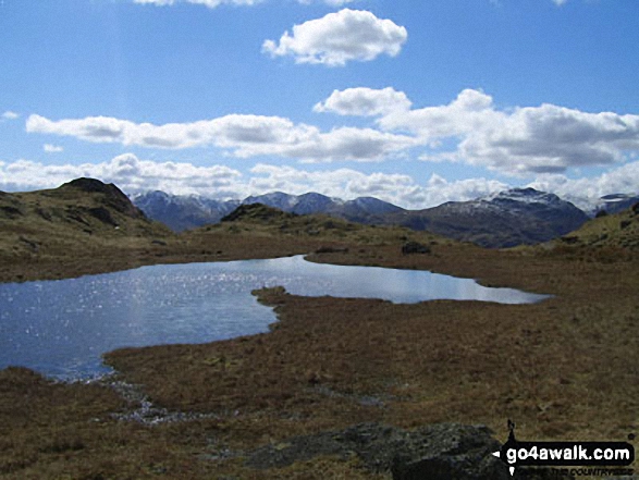
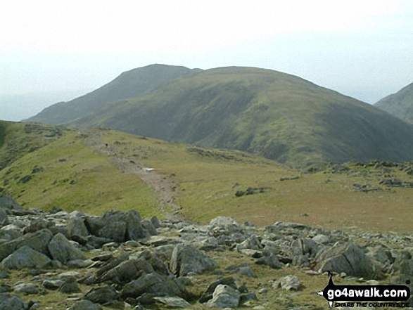
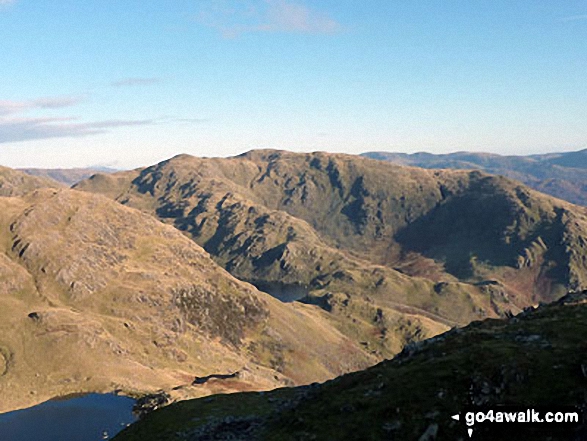
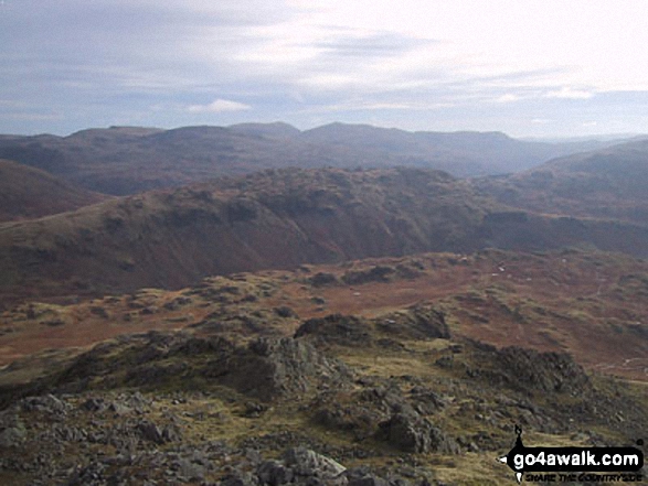
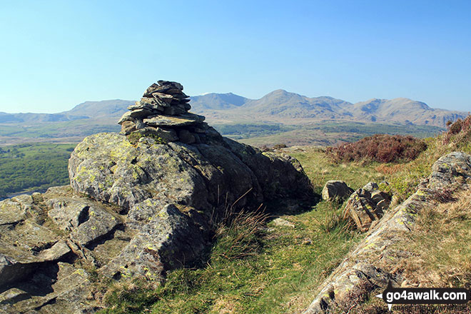
Looking across an unnamed tarn below Great Castle How to Wetherlam and the Furness Fells
Top o' Selside summit cairn with the Coniston Fells: White Maiden, Walna Scar, Dow Crag, The Old Man of Coniston, Brim Fell, Swirl How and Wetherlam as a backdrop
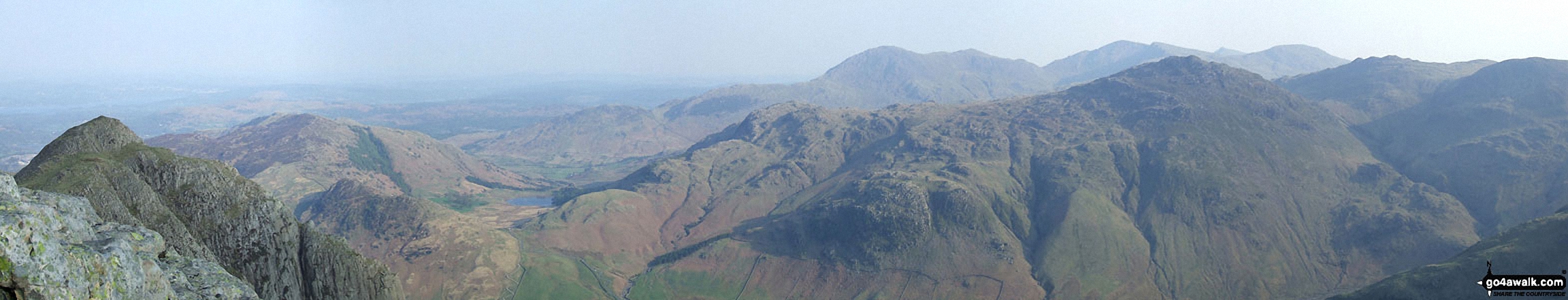
*Loft Crag (foreground far left), Lingmoor, Blea Tarn, Pike of Blisco (Pike o' Blisco), Cold Pike and Crinkle Crags (featuring Crinkle Crags (South Top), Crinkle Crags (Long Top) and Gunson Knott) (mid-distance left to right) and Wetherlam, Great Carrs and Grey Friar (far-distance centre to right) from the summit of Pike of Stickle (Langdale Pikes)
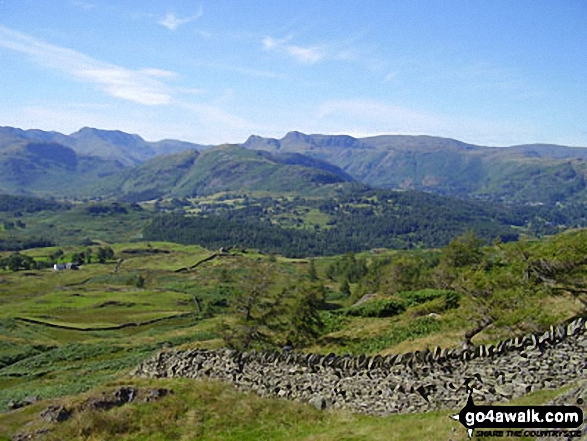
The view west to The Coniston Fells and Wetherlam from near Low Arnside Farm
Little Stand (foreground), Pike of Blisco (Pike o' Blisco) (left), Wetherlam and The Old Man of Coniston (right) from Slight Side
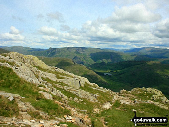
Pike of Blisco (Pike o' Blisco), Pavey Ark and the Langdale Pikes from Wetherlam Edge
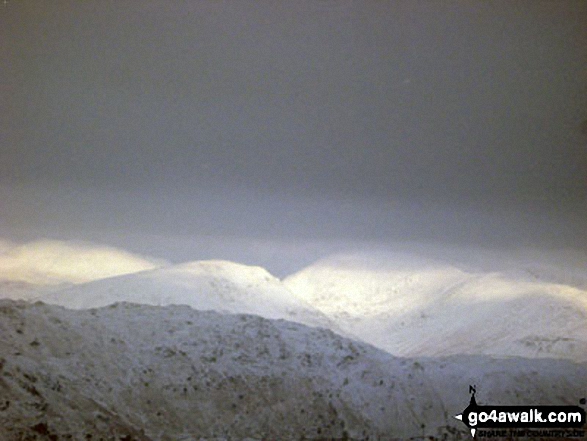
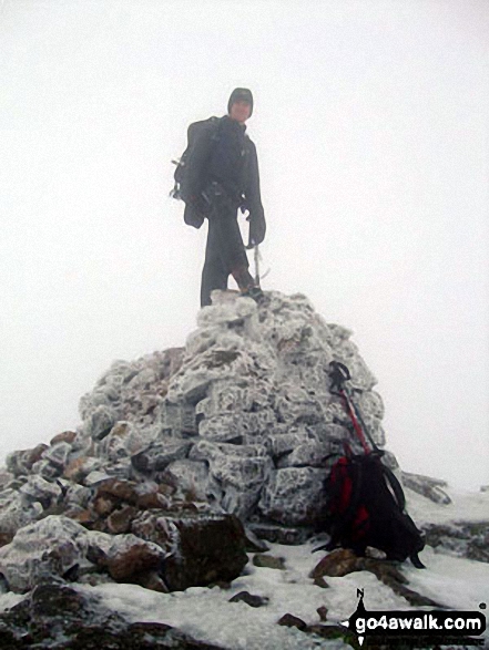
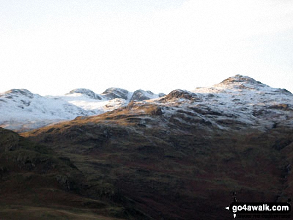
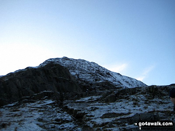
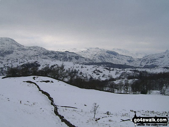
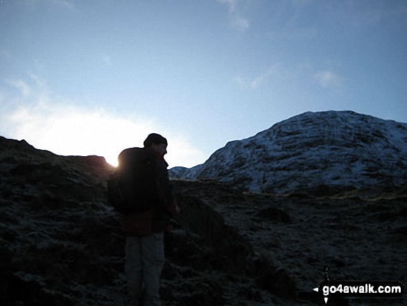
Wetherlam, Swirl How and Little Carrs under a deep blanket of snow from
Pike of Blisco (Pike o' Blisco)
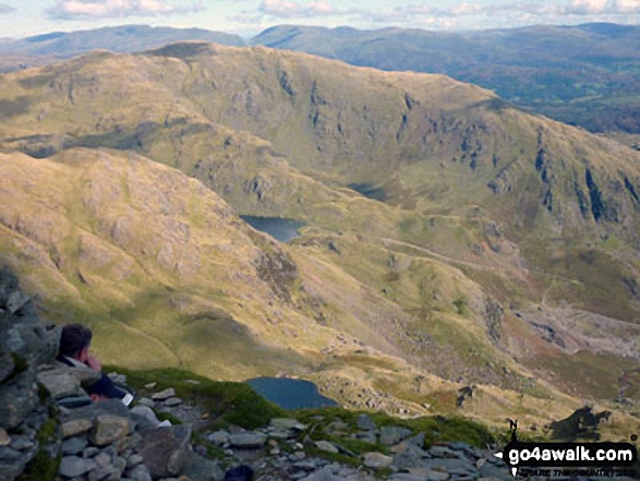
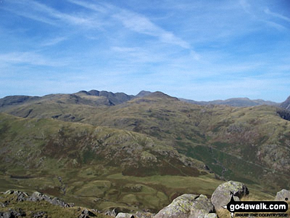
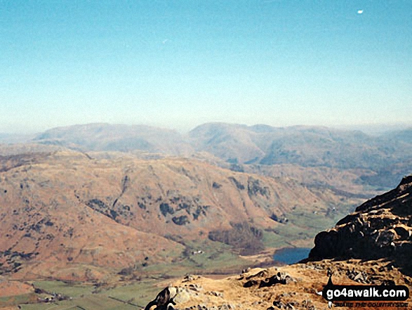
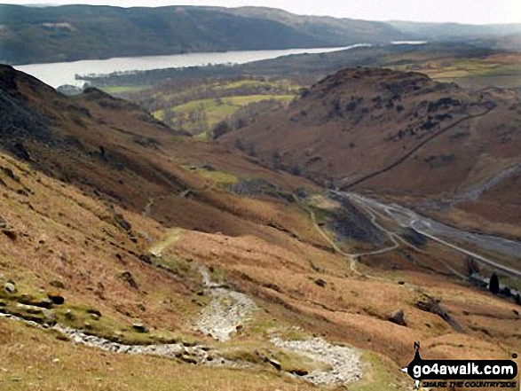
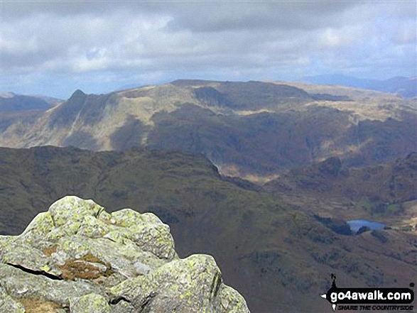
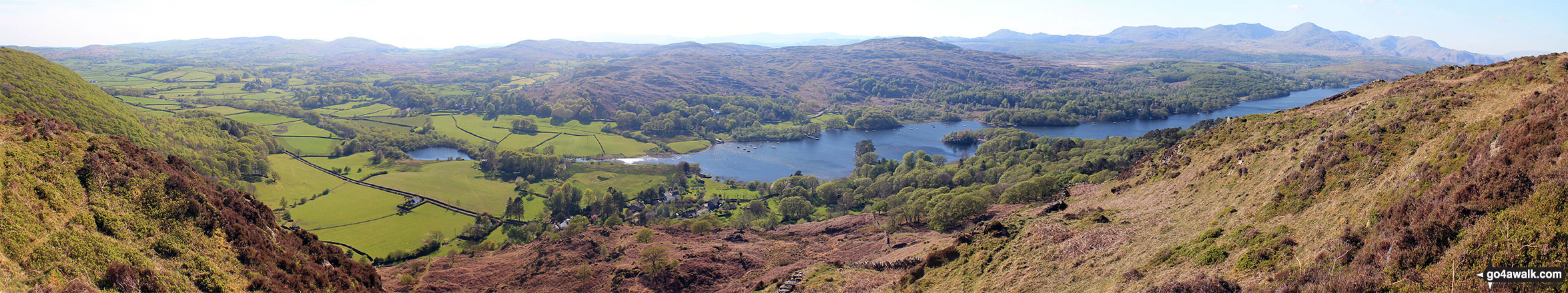
Wetherlam, Levers Water and Low Water from the top of The Old Man of Coniston
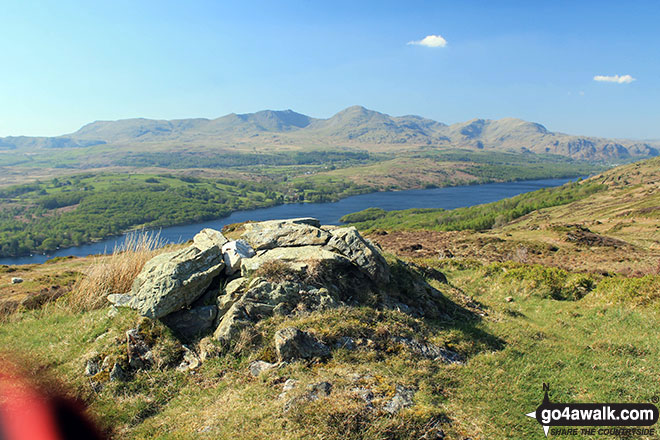
Low Light Haw (Top o' Selside) summit cairn with the Coniston Fells: White Maiden, Walna Scar, Dow Crag, The Old Man of Coniston, Brim Fell, Swirl How and Wetherlam in the background
High Light Haw (Top o' Selside) summit cairn with the Coniston Fells: White Maiden, Walna Scar, Dow Crag, The Old Man of Coniston, Brim Fell, Swirl How and Wetherlam in the background
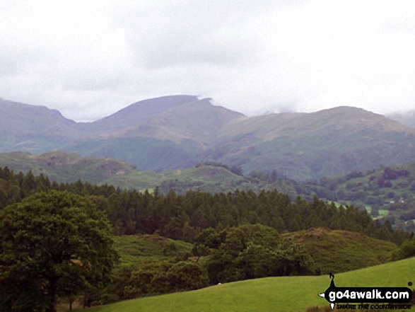
Wetherlam and Pike of Blisco (Pike o' Blisco) from Black Fell (Black Crag)
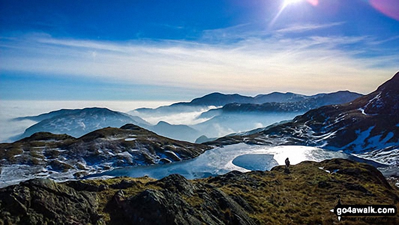
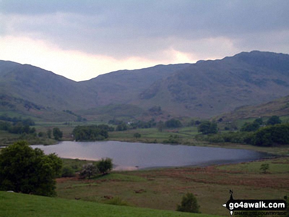
Looking south over a snowy Stickle Tarn to Wetherlam and the Coniston Fells from Pavey Ark
The Langdale Pikes with Wetherlam and Swirl How in the distance from Sergeant Man summit
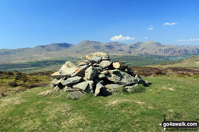
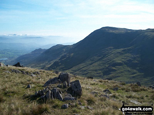
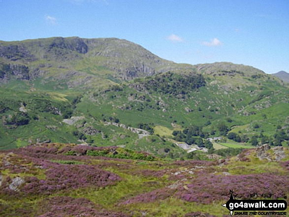
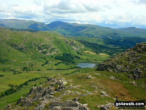
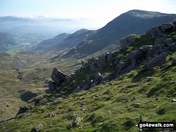
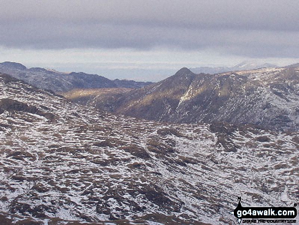
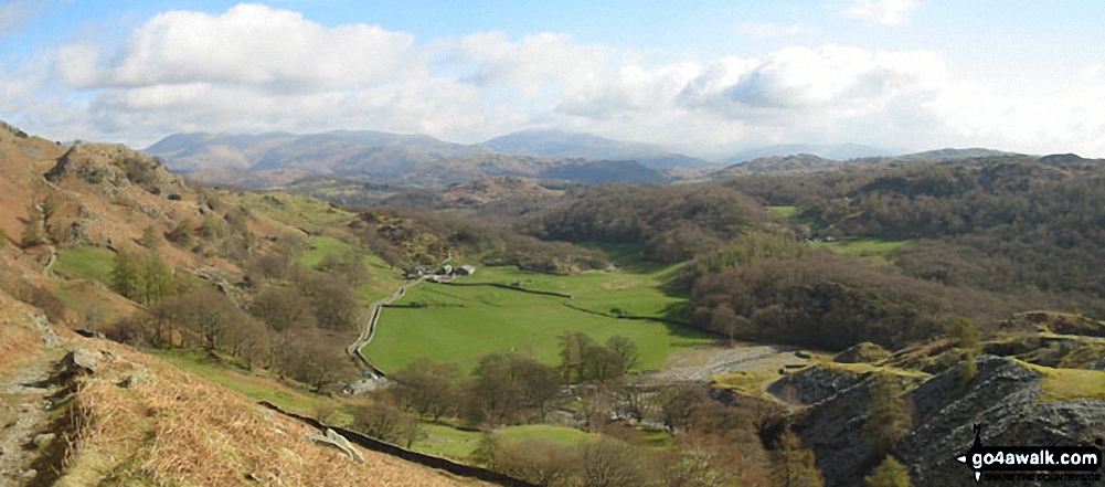
Looking across Little Langdale to the Langdale Pikes (with Pike of Stickle prominent to the left) from Wetherlam
Coniston Water from the summit of Brock Barrow (Top o' Selside) with Beacon (Blawith Fells) prominent (centre) and the Coniston Fells: White Maiden, Walna Scar, Dow Crag, The Old Man of Coniston, Brim Fell, Swirl How and Wetherlam in the background (right)
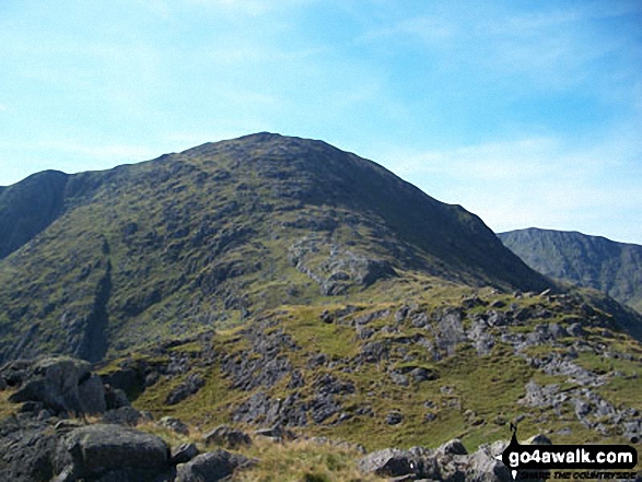
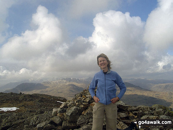
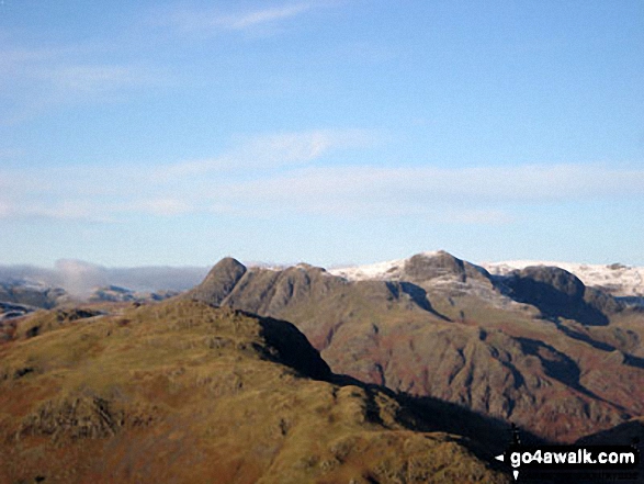
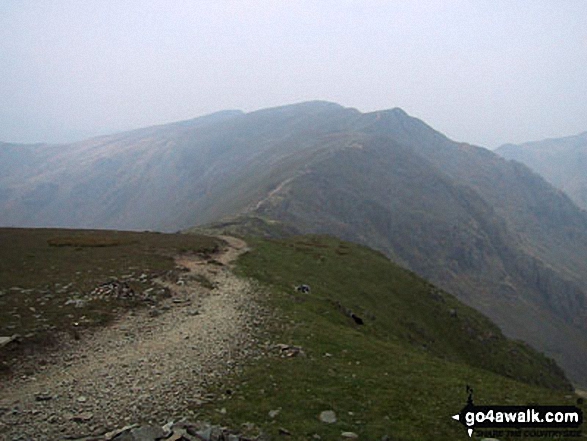
The Old Man of Coniston (left) and Swirl How (right) from Wetherlam summit
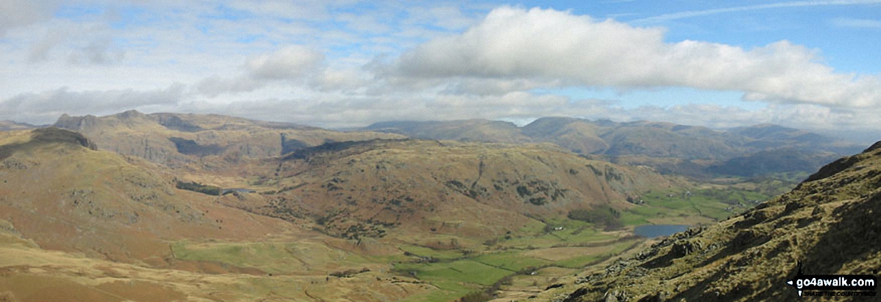
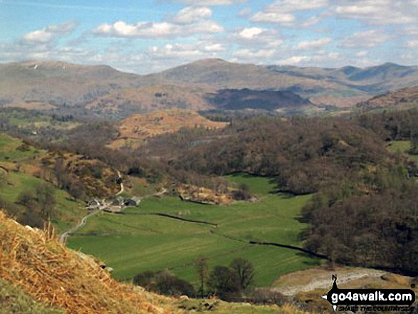
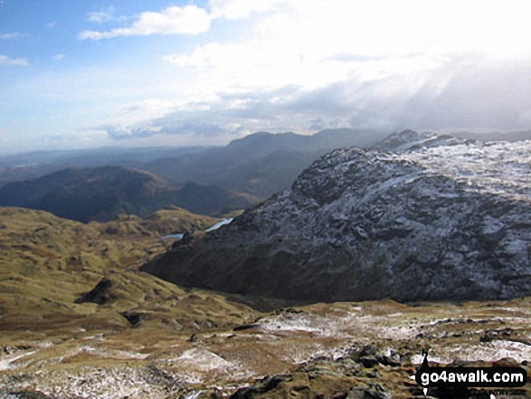
*Little Langdale with the Langdale Pikes, Helvellyn and Fairfield beyond from Wetherlam
. . . see just 20 walk photographs & pictures of views from, on or of Wetherlam
Send us your photographs and pictures on, of, or from Wetherlam
If you would like to add your walk photographs and pictures featuring views from, on or of Wetherlam to this page, please send them as email attachments (configured for any computer) along with your name to:
and we shall do our best to publish them.
(Guide Resolution = 300dpi. At least = 660pixels (wide) x 440 pixels (high).)

You can also submit photos via our Facebook Page.
NB. Please indicate where each photo was taken and whether you wish us to credit your photos with a Username or your First Name/Last Name.
Not familiar with this top?


