
![]()
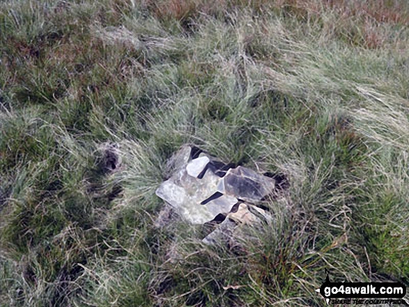
Bush Howe
623m (2044ft)
The Howgill Fells, The Yorkshire Dales, Cumbria, England

Not familiar with this top?
You can walk/hike to the top of Bush Howe by using either of these 2 easy‑to‑follow route maps:
Walk c180 The Howgills from Low Carlingill Bridge
Cumbria's finest waterfall - though few paths and the ascent up Carlingill Spout can be a little daunting
   |
|---|
Vital Statistics:
| Length: | 11ml (17.5km) |
|---|---|
| Ascent: | 4,430ft (1,350m) |
| Time: | 8½ hrs |
| Grade: |  (Hard) (Hard) |

Route Summary:
Carlingill Bridge - The Howgills - Carlingill Beck - Carlin Gill - Screes of Black Force - Carlingill Spout - Blakethwaite Bottom - Docker Knott - Great Blea Gill - Simon's Seat (Howgills) - Langdale Beck (Howgills) - Hazelgill Knott - Bowderdale Beck - Bowderdale Head - Cautley Spout - Cautley Crag - Great Dummacks - Little Dummacks - Calders - Bram Rigg Top - The Calf - White Fell Head - Bush Howe - Windscarth Wyke - Breaks Head - Fell Head (Howgills) - Fell Head Scar - Linghaw - Knowles - Back Balk - Gibbet Hill - Carlingill Bridge - The Howgill Fells.
Walk c347 The Howgill Fells 2000ft'ers
All the Howgills 2000ft'ers - in the easiest order
|
|---|
Vital Statistics:
| Length: | 11.5ml (18.5km) |
|---|---|
| Ascent: | 4,411ft (1,344m) |
| Time: | 8.75hrs |
| Grade: | (Hard) |
Route Summary:
The Cross Keys - River Rawthey - Ben End - Yarlside - Kensgriff - Randygill Top - Bowderdale Beck - The Calf - Bush Howe - Fell Head (Howgills) - The Calf - Bram Rigg Top - Calders - Cautley Crag - Croonthard Brow - Cautley Holme Beck - River Rawthey - The Cross Keys
See Bush Howe and the surrounding tops on our free-to-access 'Google Style' Peak Bagging Maps:
The Howgill Fells Area of The Yorkshire Dales National Park
Less data - quicker to download
The Whole of The Yorkshire Dales National Park
More data - might take a little longer to download
See Bush Howe and the surrounding tops on our unique, downloadable, PDF Peak Bagging Map:

NB: Whether you print off a copy or download it to your phone, this PDF Peak Baggers' Map might prove incredibly useful when your are up there on the tops and you cannot get a phone signal.
You can find Bush Howe & all the walks that climb it on these unique free-to-access Interactive Walk Planning Maps:
1:25,000 scale OS Explorer Map (orange/yellow covers):
1:50,000 scale OS Landranger Map (pink/magenta covers):
 Fellow go4awalkers who have already walked, climbed, scaled, summited, hiked & bagged Bush Howe
Mark Davidson walked up Bush Howe on June 8th, 2006 [from/via/route] Walk c347 The Howgill Fells 2000ft'ers [with] MK [weather] Sunny & dry - gorgeous!
Kevin Foster climbed it on October 29th, 2017 [from/via/route] Fairmile gate to Sedbergh (linear route). [with] Peter, Hiruni and Henry. [weather] Sunny clear blue skies (cold northerly wind). - A steady walk up from Fairmile Gate on a track with easy gradients except for one steep climb at the end brought us onto the ridge line of the western Howgills just short of the summit of Fell Head. With most of the climbing done for the day & route finding made easy by the broad track running over the next three nuttalls Bush Howe, then The Calf & Calders before descending all the way into Sedbergh, it was time to stroll along on easy paths & take in the great views. A classic.
Tony Rogerson bagged it on July 31st, 2016 [from/via/route] Fairmile Road Whin's End Fell Head Bush Howe White Fell Crook of Lune Bridge Midgehole [with] Caz Floss [weather] Mostly warm & sunny
Christine Shepherd hiked Bush Howe on July 24th, 2014 [from/via/route] Walked from The Cross Keys using walk c347 [with] On my own [weather] Glorious. Sunny & hot with a gentle breeze.
Wyn Griffiths summited on May 31st, 2014 [from/via/route] C347 from Cross Keys [with] Me [weather] Dry & overcast
Ray O'hara conquered it on August 4th, 2012 [from/via/route] C347 [weather] one 15 min shower, otherwise dry. - Very pleasant walk
Patrick Rogozinski, Matthew Thomas, Louise Sandwith and Trevor Williams have all walked, climbed & bagged Bush Howe.
To add (or remove) your name and experiences on this page - Log On and edit your Personal Mountain Bagging Record
More Photographs & Pictures of views from, on, or of, Bush Howe
Send us your photographs and pictures on, of, or from Bush Howe
If you would like to add your walk photographs and pictures to this page, please send them as email attachments (configured for any computer) along with your name to:
and we shall do our best to publish them.
(Guide Resolution = 300dpi. At least = 660pixels (wide) x 440 pixels (high).)

You can also submit photos via our Facebook Page.
NB. Please indicate where each photo was taken and whether you wish us to credit your photos with a Username or your First Name/Last Name.


