Four easy to follow circular walk route maps from Carlingill Bridge in the The Howgill Fells of The Yorkshire Dales National Park, Cumbria, England
   |
Vital Statistics:
| Length: | 4.75 miles (7.5 km) |
| Ascent: | 1,890 ft (576 m) |
| Time: | 3½ hrs |
| Grade: |  |
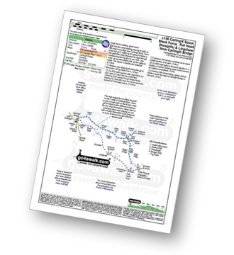
Route Summary:
Carlingill Bridge - Carlingill Beck - Carlin Gill - Screes of Black Force - Carlingill Spout - Little Ulgill Beck - Black Force - Ulgill Rigg - Fell Head (Howgills) - Linghaw - Knowles - Back Balk - Gibbet Hill - Carlingill Bridge - The Howgill Fells.
|
Vital Statistics:
| Length: | 4.25 miles (6.5 km) |
| Ascent: | 1,952 ft (595 m) |
| Time: | 3½ hrs |
| Grade: | |
Route Summary:
Carlingill Bridge - Carlingill Beck - Uldale Head (Howgills) - Blackthwaite Bottom - Carlingill Beck - Carlin Gill - Carlingill Spout - Screes of Black Force - Little Ulgill Beck - Carlingill Bridge - The Howgill Fells.
|
Vital Statistics:
| Length: | 5.5 miles (8.5 km) |
| Ascent: | 2,376 ft (724 m) |
| Time: | 4½ hrs |
| Grade: |  |

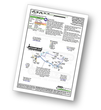
Route Summary:
Carlingill Bridge - Carlingill Beck - Uldale Head (Howgills) - Blackthwaite Bottom - Carlingill Beck - Carlin Gill - Carlingill Spout - Screes of Black Force - Little Ulgill Beck - Black Force - Ulgill Rigg - Fell Head (Howgills) - Linghaw - Knowles - Back Balk - Gibbet Hill - Carlingill Bridge - The Howgill Fells.
|
Vital Statistics:
| Length: | 11 miles (17.5 km) |
| Ascent: | 4,430 ft (1,350 m) |
| Time: | 8½ hrs |
| Grade: |  |

Route Summary:
Carlingill Bridge - The Howgills - Carlingill Beck - Carlin Gill - Screes of Black Force - Carlingill Spout - Blakethwaite Bottom - Docker Knott - Great Blea Gill - Simon's Seat (Howgills) - Langdale Beck (Howgills) - Hazelgill Knott - Bowderdale Beck - Bowderdale Head - Cautley Spout - Cautley Crag - Great Dummacks - Little Dummacks - Calders - Bram Rigg Top - The Calf - White Fell Head - Bush Howe - Windscarth Wyke - Breaks Head - Fell Head (Howgills) - Fell Head Scar - Linghaw - Knowles - Back Balk - Gibbet Hill - Carlingill Bridge - The Howgill Fells.


