
![]()
Waun Camddwr
621m (2040ft)
The Arans, Snowdonia, Gwynedd, Wales
Tap/mouse over a coloured circle (1-3 easy walks, 4-6 moderate walks, 7-9 hard walks) and click to select.
Not familiar with this top?
   |
|---|
Vital Statistics:
| Length: | 12ml (19km) |
|---|---|
| Ascent: | 4,050ft (1,234m) |
| Time: | 8½ hrs |
| Grade: |  (Hard) (Hard) |
Route Summary:
Cwm Cywarch - Afon Cywarch - Waun Camddwr - Camddwr - Gwaun y Llwyni - Aran Fawddwy - Erw y Ddafad-ddu - Aran Benllyn - Aran Fawddwy (South Top) - Drws Bach - Drysgol (Aran Fawddwy) - Gwaun Lydan - Pumryd Fawr - Waun Goch - Pen yr Allt Uchaf - Allt Uchaf - Ty'n-y-ddol - Cwm Cywarch
See Waun Camddwr and the surrounding tops on our free-to-access 'Google Style' Peak Bagging Maps:
The Arans of Snowdonia National Park
Less data - quicker to download
The Whole of Snowdonia National Park
More data - might take a little longer to download
See Waun Camddwr and the surrounding tops on our downloadable Peak Bagging Map in PDF format:

NB: Whether you print off a copy or download it to your phone, this PDF Peak Baggers' Map might prove incredibly useful when your are up there on the tops and you cannot get a phone signal.
You can find Waun Camddwr & all the walks that climb it on these unique free-to-access Interactive Walk Planning Maps:
1:25,000 scale OS Explorer Map (orange/yellow covers):
1:50,000 scale OS Landranger Map (pink/magenta covers):
 Fellow go4awalkers who have already walked, climbed, summited & bagged Waun Camddwr
Christina Lander walked up Waun Camddwr on August 30th, 2024 [from/via/route] Cwm Cywarch - Waun Camddwr - Gwaun y Llwyni - Aran Fawddwy - Drysgol - Gwaun Lydan - Waun Goch - Pen yr Allt Uchaf - Cwm Cywarch [with] Dick [weather] A beautiful day, cloudy at times - Long weekend staying in Corris
Mark Hanley climbed Waun Camddwr on July 21st, 2018 [from/via/route] Cwm Cywarch [with] alone [weather] cloudy
Mark Davidson bagged Waun Camddwr on September 17th, 2009 [with] Alone [weather] Bit grey really but the tops were clear
Robert Taylor-Marriott hiked Waun Camddwr on April 11th, 2014 [from/via/route] Route 56: Waun Camddwr. Gwaun Llwyni. Gwaun Lydon. Moel y Cerrig Duon. Aran Fawddwy. (WGA). [with] Vince Wetton, Adam and Robert Taylor-Marriott. [weather] Sunny.
Vince Wetton summited Waun Camddwr on April 11th, 2014 [from/via/route] gw185 less 2 Northenmost peaks [with] RTM +ADAM [weather] Lovely sunny day
Alberto Lopes conquered Waun Camddwr on March 26th, 2012 [from/via/route] gw185 from Cwm Cywarch [with] Rachel [weather] sunny
Kath Edwards scaled Waun Camddwr on February 25th, 2012 [from/via/route] walked as part of the route up to Aran Fawdwwy [with] Si Stokes and Bryony [weather] COld
Louis Smith and Trevor Williams have both walked, climbed & bagged Waun Camddwr.
To add (or remove) your name and experiences on this page - Log On and edit your Personal Mountain Bagging Record
More Photographs & Pictures of views from, on or of Waun Camddwr
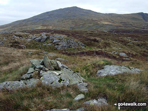
Hengwm with Glasgwm (left) and Waun Camddwr (right) above from Waun Goch
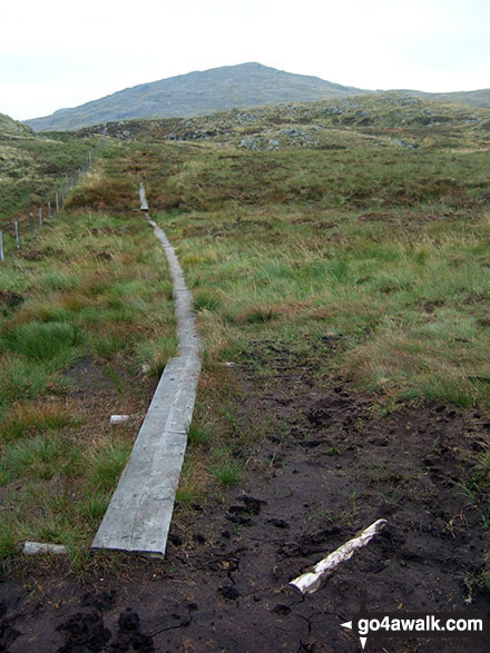
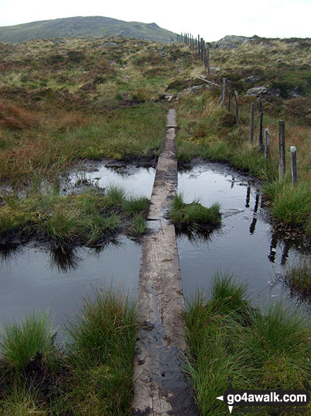
More (very welcome) duckboards between Waun Camddwr and Gwaun y Llwyni
Send us your photographs and pictures on, of, or from Waun Camddwr
If you would like to add your walk photographs and pictures featuring views from, on or of Waun Camddwr to this page, please send them as email attachments (configured for any computer) along with your name to:
and we shall do our best to publish them.
(Guide Resolution = 300dpi. At least = 660pixels (wide) x 440 pixels (high).)

You can also submit photos via our Facebook Page.
NB. Please indicate where each photo was taken and whether you wish us to credit your photos with a Username or your First Name/Last Name.
Not familiar with this top?


