Scottish Region 17: The Inner Hebrides (Western Isles) - a fully detailed list of all the Mountains, Peaks, Tops and Hills (Page 1 of 3)
Scottish Region 17: The Inner Hebrides (Western Isles) region which have at least one baggable hill on it comprise:
- The Isle of Skye
- The Isle of Rhum
- The Isle of Mull
- The Isle of Eigg
- The Isle of Canna
- The Isle of Gometra
- The Isle of Ulva
- The Isle of Raasay and
- The Isle of Scalpay
If you count only the Marilyns there are 86 tops to climb, bag & conquer and the highest point is Sgurr Alasdair at 992m (3,256ft).
To see these Mountains, Peaks, Tops and Hills displayed in different ways - see the options in the left-hand column and towards the bottom of this page.
LOG ON and RELOAD this page to show which Mountains, Peaks, Tops and Hills you have already climbed, bagged & conquered [. . . more details]
See this list in: Alphabetical Order
| Height Order‡
To reverse the order select the link again.
Mountain, Peak, Top or Hill:
Bagged
1. Sgurr Alasdair
992m (3,256ft)
Sgurr Alasdair is on interactive maps:
A downloadable go4awalk.com PDF Peak Bagging Map featuring Sgurr Alasdair will be available soon. |
2. Sgurr Dearg (Inaccessible Pinnacle)
986m (3,236ft)
Sgurr Dearg (Inaccessible Pinnacle) is on interactive maps:
A downloadable go4awalk.com PDF Peak Bagging Map featuring Sgurr Dearg (Inaccessible Pinnacle) will be available soon. |
3. Ben More (Mull)
966m (3,170ft)
Ben More (Mull) is on interactive maps:
A downloadable go4awalk.com PDF Peak Bagging Map featuring Ben More (Mull) will be available soon. |
4. Sgurr nan Gillean (Knight's Peak)
964m (3,163ft)
Sgurr nan Gillean (Knight's Peak) is on interactive maps:
A downloadable go4awalk.com PDF Peak Bagging Map featuring Sgurr nan Gillean (Knight's Peak) will be available soon. |
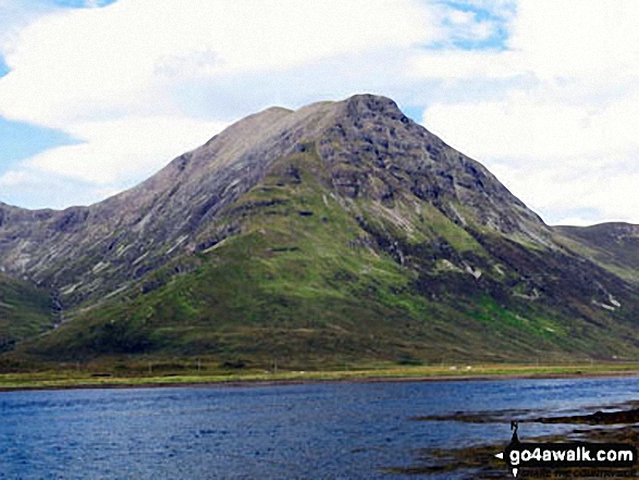
5. Bla Bheinn (Blaven)
928m (3,046ft)
Bla Bheinn (Blaven) is on interactive maps:
A downloadable go4awalk.com PDF Peak Bagging Map featuring Bla Bheinn (Blaven) will be available soon. |
6. Askival
812m (2,665ft)
Askival is on interactive maps:
A downloadable go4awalk.com PDF Peak Bagging Map featuring Askival will be available soon. |
7. Garbh-bheinn (Skye)
808m (2,652ft)
Garbh-bheinn (Skye) is on interactive maps:
A downloadable go4awalk.com PDF Peak Bagging Map featuring Garbh-bheinn (Skye) will be available soon. |
8. Ainshval
781m (2,563ft)
Ainshval is on interactive maps:
A downloadable go4awalk.com PDF Peak Bagging Map featuring Ainshval will be available soon. |
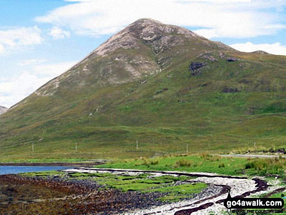
9. Sgurr Mhairi (Glamaig)
775m (2,544ft)
Send it in and we'll publish it here.
Sgurr Mhairi (Glamaig) is on interactive maps:
A downloadable go4awalk.com PDF Peak Bagging Map featuring Sgurr Mhairi (Glamaig) will be available soon. |
10. Dun da Ghaoithe
766m (2,514ft)
Dun da Ghaoithe is on interactive maps:
A downloadable go4awalk.com PDF Peak Bagging Map featuring Dun da Ghaoithe will be available soon. |
11. Beinn Talaidh
761m (2,498ft)
Beinn Talaidh is on interactive maps:
A downloadable go4awalk.com PDF Peak Bagging Map featuring Beinn Talaidh will be available soon. |
12. Sgurr Dearg (Mull)
741m (2,432ft)
Sgurr Dearg (Mull) is on interactive maps:
A downloadable go4awalk.com PDF Peak Bagging Map featuring Sgurr Dearg (Mull) will be available soon. |
13. Sgurr na Coinnich
739m (2,425ft)
Sgurr na Coinnich is on interactive maps:
A downloadable go4awalk.com PDF Peak Bagging Map featuring Sgurr na Coinnich will be available soon. |
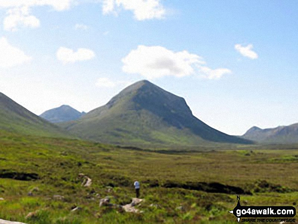
14. Marsco
736m (2,416ft)
Marsco is on interactive maps:
A downloadable go4awalk.com PDF Peak Bagging Map featuring Marsco will be available soon. |
15. Beinn na Caillich (Broadford)
732m (2,402ft)
Send it in and we'll publish it here.
Beinn na Caillich (Broadford) is on interactive maps:
A downloadable go4awalk.com PDF Peak Bagging Map featuring Beinn na Caillich (Broadford) will be available soon. |
16. Beinn na Caillich (Sgurr na Coinnich)
732m (2,402ft)
Send it in and we'll publish it here.
Beinn na Caillich (Sgurr na Coinnich) is on interactive maps:
A downloadable go4awalk.com PDF Peak Bagging Map featuring Beinn na Caillich (Sgurr na Coinnich) will be available soon. |
17. Beinn Dearg Mhor (Glamaig)
731m (2,399ft)
Send it in and we'll publish it here.
Beinn Dearg Mhor (Glamaig) is on interactive maps:
A downloadable go4awalk.com PDF Peak Bagging Map featuring Beinn Dearg Mhor (Glamaig) will be available soon. |
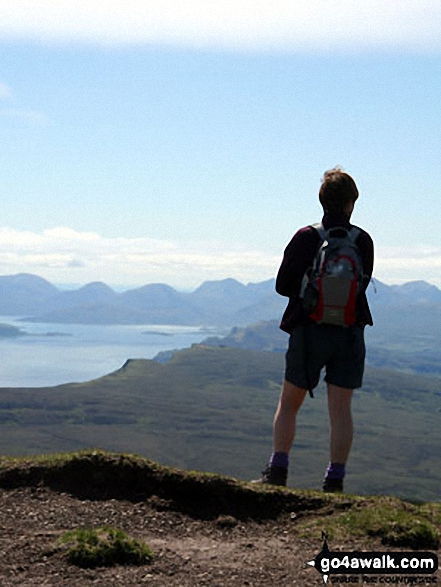
18. The Storr
719m (2,360ft)
See the location of The Storr and walks up it on a google Map The Storr is on interactive maps:
A downloadable go4awalk.com PDF Peak Bagging Map featuring The Storr will be available soon. |
19. Ben Buie
717m (2,353ft)
Ben Buie is on interactive maps:
A downloadable go4awalk.com PDF Peak Bagging Map featuring Ben Buie will be available soon. |
20. Beinn Dearg Mhor (Skye)
709m (2,327ft)
Send it in and we'll publish it here.
Beinn Dearg Mhor (Skye) is on interactive maps:
A downloadable go4awalk.com PDF Peak Bagging Map featuring Beinn Dearg Mhor (Skye) will be available soon. |
21. Corra-bheinn
705m (2,313ft)
Corra-bheinn is on interactive maps:
A downloadable go4awalk.com PDF Peak Bagging Map featuring Corra-bheinn will be available soon. |
22. Beinn Fhada (Mull)
702m (2,304ft)
Beinn Fhada (Mull) is on interactive maps:
A downloadable go4awalk.com PDF Peak Bagging Map featuring Beinn Fhada (Mull) will be available soon. |
23. Belig
702m (2,304ft)
Belig is on interactive maps:
A downloadable go4awalk.com PDF Peak Bagging Map featuring Belig will be available soon. |
24. Trollabhal (Trollaval)
702m (2,304ft)
Send it in and we'll publish it here.
Trollabhal (Trollaval) is on interactive maps:
A downloadable go4awalk.com PDF Peak Bagging Map featuring Trollabhal (Trollaval) will be available soon. |
25. Creach-Beinn
698m (2,291ft)
Creach-Beinn is on interactive maps:
A downloadable go4awalk.com PDF Peak Bagging Map featuring Creach-Beinn will be available soon. |
26. Hartaval
669m (2,196ft)
Hartaval is on interactive maps:
A downloadable go4awalk.com PDF Peak Bagging Map featuring Hartaval will be available soon. |
27. Cruach Choireadail
618m (2,028ft)
Cruach Choireadail is on interactive maps:
A downloadable go4awalk.com PDF Peak Bagging Map featuring Cruach Choireadail will be available soon. |
28. Ben Aslak
609m (1,998ft)
Ben Aslak is on interactive maps:
A downloadable go4awalk.com PDF Peak Bagging Map featuring Ben Aslak will be available soon. |
29. Beinn a' Ghraig
591m (1,940ft)
Beinn a' Ghraig is on interactive maps:
A downloadable go4awalk.com PDF Peak Bagging Map featuring Beinn a' Ghraig will be available soon. |
30. Beinn na Cro
572m (1,877ft)
Beinn na Cro is on interactive maps:
A downloadable go4awalk.com PDF Peak Bagging Map featuring Beinn na Cro will be available soon. |
View these 86 Mountains, Peaks, Tops and Hills:
- On an Interactive Google Map (loads faster)
- On an Interactive Google Map with a list of tops below it.
(makes it easier to locate a particular top) - On a Detailed List in:
Alphabetical Order | Height Order - On one page with 'yet-to-be-bagged' listed 1st & then 'already-bagged' tops listed 2nd in:
Alphabetical Order | Height Order - On one page with 'already-bagged' tops listed 1st & then 'yet-to-be-bagged' tops listed 2nd in:
Alphabetical Order | Height Order
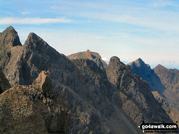 Sgurr Alasdair in The Inner Hebrides (Western Isles)
Photo: Ronnie Clayes
Is there a Mountain, Peak, Top or Hill missing from the above google map or list?
Let us know an we will add it to our database.

