
![]()
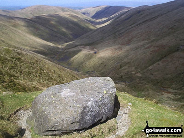
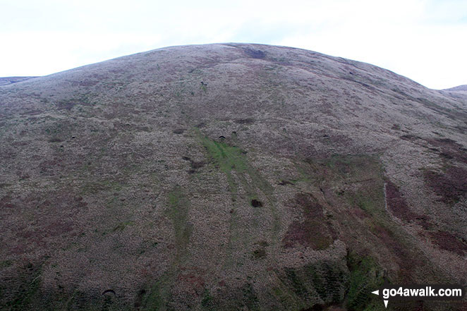
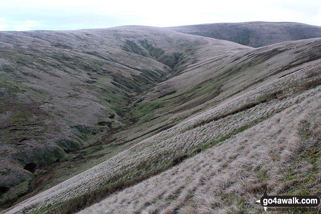
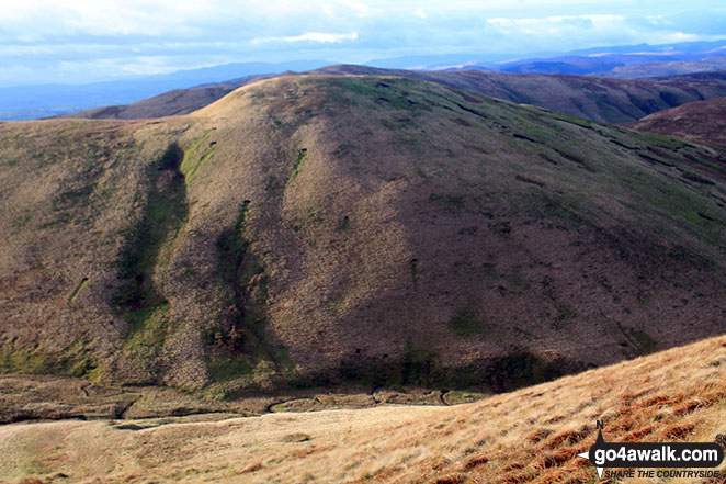
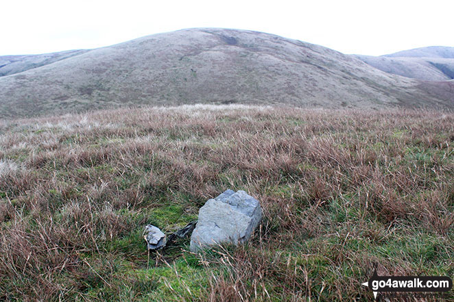
Docker Knott
530m (1739ft)
The Howgill Fells, The Yorkshire Dales, Cumbria, England
Not familiar with this top?
You can walk/hike to the top of Docker Knott by using this easy‑to‑follow route map:
Walk c180 The Howgills from Low Carlingill Bridge
Cumbria's finest waterfall - though few paths and the ascent up Carlingill Spout can be a little daunting
   |
|---|
Vital Statistics:
| Length: | 11ml (17.5km) |
|---|---|
| Ascent: | 4,430ft (1,350m) |
| Time: | 8½ hrs |
| Grade: |  (Hard) (Hard) |

Route Summary:
Carlingill Bridge - The Howgills - Carlingill Beck - Carlin Gill - Screes of Black Force - Carlingill Spout - Blakethwaite Bottom - Docker Knott - Great Blea Gill - Simon's Seat (Howgills) - Langdale Beck (Howgills) - Hazelgill Knott - Bowderdale Beck - Bowderdale Head - Cautley Spout - Cautley Crag - Great Dummacks - Little Dummacks - Calders - Bram Rigg Top - The Calf - White Fell Head - Bush Howe - Windscarth Wyke - Breaks Head - Fell Head (Howgills) - Fell Head Scar - Linghaw - Knowles - Back Balk - Gibbet Hill - Carlingill Bridge - The Howgill Fells.
See Docker Knott and the surrounding tops on our free-to-access 'Google Style' Peak Bagging Maps:
The Howgill Fells Area of The Yorkshire Dales National Park
Less data - quicker to download
The Whole of The Yorkshire Dales National Park
More data - might take a little longer to download
See Docker Knott and the surrounding tops on our unique, downloadable, PDF Peak Bagging Map:

NB: Whether you print off a copy or download it to your phone, this PDF Peak Baggers' Map might prove incredibly useful when your are up there on the tops and you cannot get a phone signal.
You can find Docker Knott & all the walks that climb it on these unique free-to-access Interactive Walk Planning Maps:
1:25,000 scale OS Explorer Map (orange/yellow covers):
1:50,000 scale OS Landranger Map (pink/magenta covers):
 Fellow go4awalkers who have already walked, climbed, scaled, summited, hiked & bagged Docker Knott
Mark Davidson walked up Docker Knott on November 25th, 2015 [from/via/route] Walk c180 The Howgills from Low Carlingill Bridge to take in Uldale Head (Howgills) [with] Alone [weather] Sunny to start with but clouded up in afternoon. - Pretty dark by the time a got back to the car.
Christine Shepherd climbed it on April 14th, 2018 [from/via/route] Walked from Carlingill Bridge using walk c180 [with] On my own [weather] Bright & clear - This was the first fell of the day. I missed the small gill coming in on the left so climbed steeply up the bank further up Carling Gill. This was hard work as was the descent to Great Blea Gill. Not a fell I will be climbing again.
Louise Sandwith has walked, climbed & bagged Docker Knott.
To add (or remove) your name and experiences on this page - Log On and edit your Personal Mountain Bagging Record
More Photographs & Pictures of views from, on, or of, Docker Knott

Send us your photographs and pictures on, of, or from Docker Knott
If you would like to add your walk photographs and pictures to this page, please send them as email attachments (configured for any computer) along with your name to:
and we shall do our best to publish them.
(Guide Resolution = 300dpi. At least = 660pixels (wide) x 440 pixels (high).)

You can also submit photos via our Facebook Page.
NB. Please indicate where each photo was taken and whether you wish us to credit your photos with a Username or your First Name/Last Name.


