The 30 nearest, easy-to-follow, circular walks, routes & maps to UK Postcode RG31

The thirty nearest, easy-to-follow, circular walks, routes & maps to UK Postcode RG31 in Walk Grade Order


Not familiar with the area around RG31?

See these 30 nearest walks to UK Postcode RG31 on a google map


Walk 1 Walking Bootprint Icon

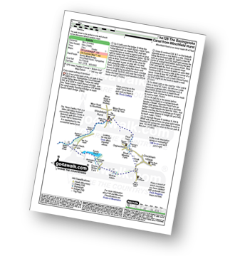
Walk ha128 The Basingstoke Canal from Winchfield Hurst

Easy canal walking

Download GPS Waypoint Data for walk ha128
Download GPX Waypoint Data for walk ha128
Download Map and Route Details for walk ha128

Vital Statistics:

Length:5 miles (8 km)
Ascent:190ft (58m)
Time:2 hrs
Grade:Grade 1 Walking Easy
Walk 2 Walking Bootprint Icon

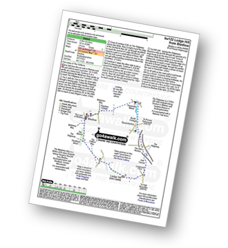
Walk bu122 Lodge Hill from Bledlow

Fine views of The Chilterns

Download GPS Waypoint Data for walk bu122
Download GPX Waypoint Data for walk bu122
Download Map and Route Details for walk bu122

Vital Statistics:

Length:6 miles (9.5 km)
Ascent:528ft (161m)
Time:2.75hrs
Grade:Grade 3 Walking Easy
Walk 3 Walking Bootprint Icon

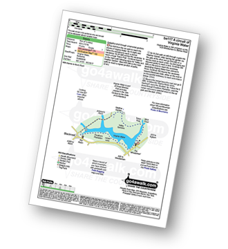
Walk be117 A circuit of Virginia Water

Delightful stroll through ornamental gardens

Download GPS Waypoint Data for walk be117
Download GPX Waypoint Data for walk be117
Download Map and Route Details for walk be117

Vital Statistics:

Length:4.25 miles (6.5 km)
Ascent:131ft (40m)
Time:1.75hrs
Grade:Grade 1 Walking Easy
Walk 4 Walking Bootprint Icon

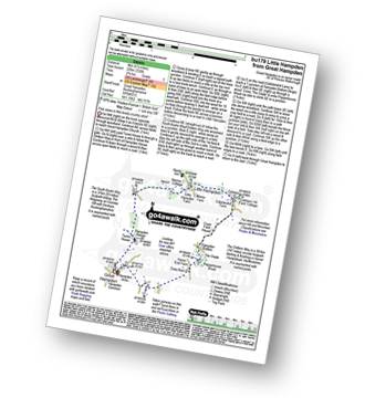
Walk bu179 Little Hampden from Great Hampden

Fine views in this lovely country stroll

Download GPS Waypoint Data for walk bu179
Download GPX Waypoint Data for walk bu179
Download Map and Route Details for walk bu179

Vital Statistics:

Length:5.5 miles (9 km)
Ascent:722ft (220m)
Time:2.75hrs
Grade:Grade 3 Walking Easy
Walk 5 Walking Bootprint Icon

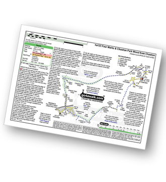
Walk ha123 Four Marks and Chawton Park Wood from Chawton

Historic house and woodland

Download GPS Waypoint Data for walk ha123
Download GPX Waypoint Data for walk ha123
Download Map and Route Details for walk ha123

Vital Statistics:

Length:7.5 miles (12 km)
Ascent:673ft (205m)
Time:3.75hrs
Grade:Grade 3 Walking Easy
Walk 6 Walking Bootprint Icon

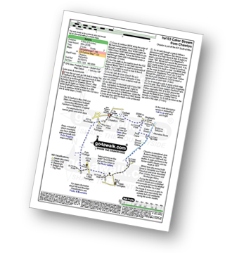
Walk ha103 Caker Stream from Chawton

Quite lanes & countryside

Download GPS Waypoint Data for walk ha103
Download GPX Waypoint Data for walk ha103
Download Map and Route Details for walk ha103

Vital Statistics:

Length:5.5 miles (8.5 km)
Ascent:263ft (80m)
Time:2.25hrs
Grade:Grade 2 Walking Easy
Walk 7 Walking Bootprint Icon

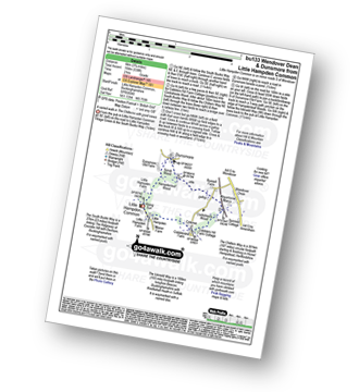
Walk bu133 Wendover Dean and Dunsmore from Little Hampden Common

A varied walk in The Chilterns with good views

Download GPS Waypoint Data for walk bu133
Download GPX Waypoint Data for walk bu133
Download Map and Route Details for walk bu133

Vital Statistics:

Length:3.75 miles (6 km)
Ascent:538ft (164m)
Time:2 hrs
Grade:Grade 2 Walking Easy
Walk 8 Walking Bootprint Icon

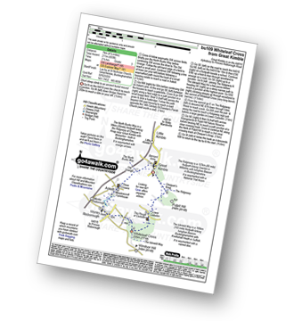
Walk bu109 Whiteleaf Cross from Great Kimble

Short steep climb to an ancient burial mound

Download GPS Waypoint Data for walk bu109
Download GPX Waypoint Data for walk bu109
Download Map and Route Details for walk bu109

Vital Statistics:

Length:4.5 miles (7 km)
Ascent:693ft (211m)
Time:2½ hrs
Grade:Grade 3 Walking Easy
Walk 9 Walking Bootprint Icon

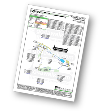
Walk bu196 Mop End from Little Missenden

Country stroll through woods and fields

Download GPS Waypoint Data for walk bu196
Download GPX Waypoint Data for walk bu196
Download Map and Route Details for walk bu196

Vital Statistics:

Length:5 miles (8 km)
Ascent:230ft (70m)
Time:2 hrs
Grade:Grade 2 Walking Easy
Walk 10 Walking Bootprint Icon

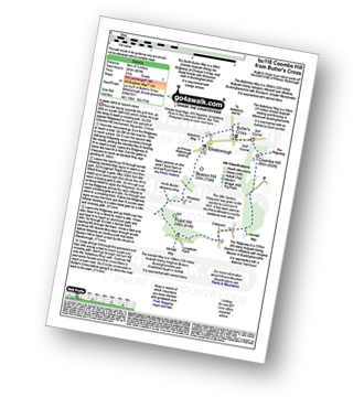
Walk bu118 Monument Hill (Coombe Hill) from Butler's Cross

A steep ascent to superb views

Download GPS Waypoint Data for walk bu118
Download GPX Waypoint Data for walk bu118
Download Map and Route Details for walk bu118

Vital Statistics:

Length:5.5 miles (9 km)
Ascent:853ft (260m)
Time:3 hrs
Grade:Grade 3 Walking Easy
Walk 11 Walking Bootprint Icon

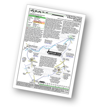
Walk bu168 The River Thame and Nether Winchendon from Dinton

Pretty level walk through pretty villages

Download GPS Waypoint Data for walk bu168
Download GPX Waypoint Data for walk bu168
Download Map and Route Details for walk bu168

Vital Statistics:

Length:9 miles (14.5 km)
Ascent:328ft (100m)
Time:3½ hrs
Grade:Grade 3 Walking Easy
Walk 12 Walking Bootprint Icon

Walk bu192 Wendover Dean from The Lee

A varied walk in The Chiltern Hills

Download GPS Waypoint Data for walk bu192
Download GPX Waypoint Data for walk bu192
Download Map and Route Details for walk bu192

Vital Statistics:

Length:4.5 miles (7 km)
Ascent:345ft (105m)
Time:2 hrs
Grade:Grade 2 Walking Easy
Walk 13 Walking Bootprint Icon

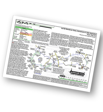
Walk bu158 Wendover Dean, Dunsmore and Little Hampden from The Lee

A varied walk through changing scenery

Download GPS Waypoint Data for walk bu158
Download GPX Waypoint Data for walk bu158
Download Map and Route Details for walk bu158

Vital Statistics:

Length:8.25 miles (13 km)
Ascent:919ft (280m)
Time:4 hrs
Grade:Grade 4 Walking Moderate
Walk 14 Walking Bootprint Icon

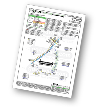
Walk wi102 Wilton Windmill from Great Bedwyn

Quiet country lanes & a working windmill

Download GPS Waypoint Data for walk wi102
Download GPX Waypoint Data for walk wi102
Download Map and Route Details for walk wi102

Vital Statistics:

Length:5 miles (8 km)
Ascent:410ft (125m)
Time:2.25hrs
Grade:Grade 2 Walking Easy
Walk 15 Walking Bootprint Icon

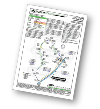
Walk wi132 Crofton and Haw Wood from Great Bedwyn

Quiet country lanes & an ornate post office

Download GPS Waypoint Data for walk wi132
Download GPX Waypoint Data for walk wi132
Download Map and Route Details for walk wi132

Vital Statistics:

Length:6.5 miles (10.5 km)
Ascent:420ft (128m)
Time:2.70hrs
Grade:Grade 3 Walking Easy

Not familiar with the area around RG31?

See these 30 nearest walks to UK Postcode RG31 on a google map


Walk 16 Walking Bootprint Icon

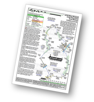
Walk wi154 Wilton Windmill and Haw Wood from Great Bedwyn

Quiet country lanes & a working windmill

Download GPS Waypoint Data for walk wi154
Download GPX Waypoint Data for walk wi154
Download Map and Route Details for walk wi154

Vital Statistics:

Length:8.25 miles (13 km)
Ascent:660ft (201m)
Time:3.75hrs
Grade:Grade 4 Walking Moderate
Walk 17 Walking Bootprint Icon

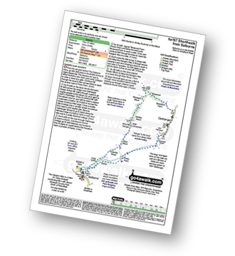
Walk ha167 Shortheath from Selborne

Delightful quiet woodland

Download GPS Waypoint Data for walk ha167
Download GPX Waypoint Data for walk ha167
Download Map and Route Details for walk ha167

Vital Statistics:

Length:7 miles (11 km)
Ascent:515ft (157m)
Time:3 hrs
Grade:Grade 3 Walking Easy
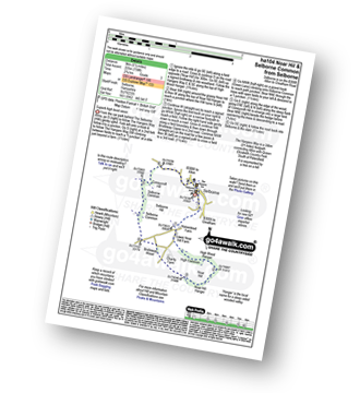
Walk 18 Walking Bootprint Icon

Walk ha104 Noar Hil and Selborne Common from Selborne

Superb high level views

Download GPS Waypoint Data for walk ha104
Download GPX Waypoint Data for walk ha104
Download Map and Route Details for walk ha104

Vital Statistics:

Length:5.5 miles (9 km)
Ascent:738ft (225m)
Time:2.75hrs
Grade:Grade 3 Walking Easy
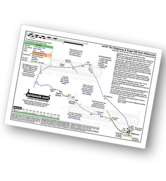
Walk 19 Walking Bootprint Icon

Walk wi137 Sugar Hill from Aldbourne

A delightful stroll from a typical Wiltshire village

Download GPS Waypoint Data for walk wi137
Download GPX Waypoint Data for walk wi137
Download Map and Route Details for walk wi137

Vital Statistics:

Length:8.5 miles (13.5 km)
Ascent:873ft (266m)
Time:4 hrs
Grade:Grade 4 Walking Moderate
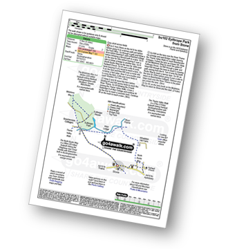
Walk 20 Walking Bootprint Icon

Walk bu102 Eythrope Park from Stone

Easy stroll across fields

Download GPS Waypoint Data for walk bu102
Download GPX Waypoint Data for walk bu102
Download Map and Route Details for walk bu102

Vital Statistics:

Length:6.5 miles (10.5 km)
Ascent:230ft (70m)
Time:2½ hrs
Grade:Grade 2 Walking Easy
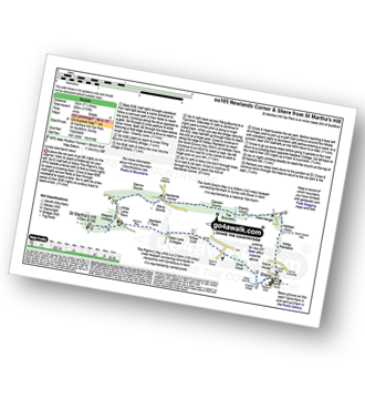
Walk 21 Walking Bootprint Icon

Walk su105 Newlands Corner and Shere from St Martha's Hill

Lovely downland views

Download GPS Waypoint Data for walk su105
Download GPX Waypoint Data for walk su105
Download Map and Route Details for walk su105

Vital Statistics:

Length:7.5 miles (12 km)
Ascent:1,175ft (358m)
Time:4 hrs
Grade:Grade 4 Walking Moderate
Walk 22 Walking Bootprint Icon

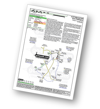
Walk ox157 Muswell Hill from Piddington

Stunning Oxfordshire views

Download GPS Waypoint Data for walk ox157
Download GPX Waypoint Data for walk ox157
Download Map and Route Details for walk ox157

Vital Statistics:

Length:4.75 miles (7.5 km)
Ascent:476ft (145m)
Time:2.25hrs
Grade:Grade 2 Walking Easy
Walk 23 Walking Bootprint Icon

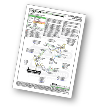
Walk ha159 Wheatham Hill from Hawkley

Good views & quiet countryside

Download GPS Waypoint Data for walk ha159
Download GPX Waypoint Data for walk ha159
Download Map and Route Details for walk ha159

Vital Statistics:

Length:5.25 miles (8.5 km)
Ascent:994ft (303m)
Time:3 hrs
Grade:Grade 4 Walking Moderate
Walk 24 Walking Bootprint Icon

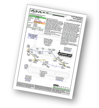
Walk ha177 Bramdean from Cheriton

Download GPS Waypoint Data for walk ha177
Download GPX Waypoint Data for walk ha177
Download Map and Route Details for walk ha177

Vital Statistics:

Length:5 miles (8 km)
Ascent:387ft (118m)
Time:2.25hrs
Grade:Grade 2 Walking Easy
Walk 25 Walking Bootprint Icon

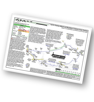
Walk ha141 Cheriton Wood and Bramdean Common from Cheriton

Fine South Downland walk with good views

Download GPS Waypoint Data for walk ha141
Download GPX Waypoint Data for walk ha141
Download Map and Route Details for walk ha141

Vital Statistics:

Length:7.75 miles (12.5 km)
Ascent:610ft (186m)
Time:3½ hrs
Grade:Grade 3 Walking Easy
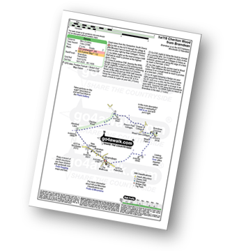
Walk 26 Walking Bootprint Icon

Walk ha116 Cheriton Wood from Bramdean

Good views from the Hampshire South Downs

Download GPS Waypoint Data for walk ha116
Download GPX Waypoint Data for walk ha116
Download Map and Route Details for walk ha116

Vital Statistics:

Length:5 miles (8 km)
Ascent:374ft (114m)
Time:2.25hrs
Grade:Grade 2 Walking Easy
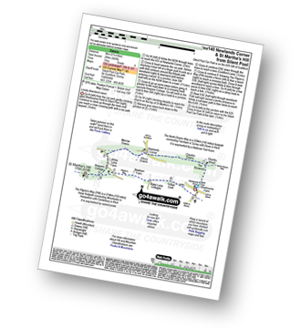
Walk 27 Walking Bootprint Icon

Walk su140 Newlands Corner and St Martha's Hill from Silent Pool

Lovely downland views

Download GPS Waypoint Data for walk su140
Download GPX Waypoint Data for walk su140
Download Map and Route Details for walk su140

Vital Statistics:

Length:5.5 miles (9 km)
Ascent:945ft (288m)
Time:3 hrs
Grade:Grade 4 Walking Moderate
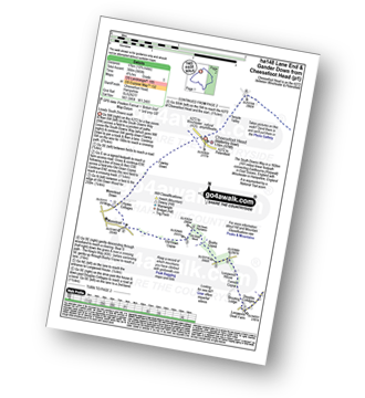
Walk 28 Walking Bootprint Icon

Walk ha148 Lane End and Gander Down from Cheesefoot Head

Lovely South Downs walk

Download GPS Waypoint Data for walk ha148
Download GPX Waypoint Data for walk ha148
Download Map and Route Details for walk ha148

Vital Statistics:

Length:10 miles (16 km)
Ascent:985ft (300m)
Time:4.75hrs
Grade:Grade 5 Walking Moderate
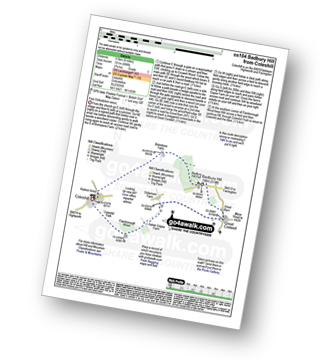
Walk 29 Walking Bootprint Icon

Walk ox104 Badbury Hill from Coleshill

Fine Oxfordshire views

Download GPS Waypoint Data for walk ox104
Download GPX Waypoint Data for walk ox104
Download Map and Route Details for walk ox104

Vital Statistics:

Length:6 miles (9.5 km)
Ascent:496ft (151m)
Time:2.75hrs
Grade:Grade 3 Walking Easy
Walk 30 Walking Bootprint Icon

Walk ha111 Cheesefoot Down from Winchester

The start of The South Downs Way

Download GPS Waypoint Data for walk ha111
Download GPX Waypoint Data for walk ha111
Download Map and Route Details for walk ha111

Vital Statistics:

Length:9.75 miles (15.5 km)
Ascent:1,126ft (343m)
Time:4.75hrs
Grade:Grade 5 Walking Moderate

Not familiar with the area around RG31?

See these 30 nearest walks to UK Postcode RG31 on a google map


Follow go4awalk.com on Twitter Follow go4awalk.com on Facebook


Do not miss our pick of the Best Walks in the UK