Walk be117 A circuit of Virginia Water
This 4¼ mile, Grade 1 (Easy), easy-to-follow, hand-crafted walk, complete with GPS Waypoints, starts at Virginia Water & will take about 1¾ hrs to complete.
   |
Vital Statistics:
| Length: | 4¼mls (6.5km) |
| Ascent: | 131ft (40m) |
| Time: | 1¾hrs |
| Grade: |  |
Route outline for walk be117:
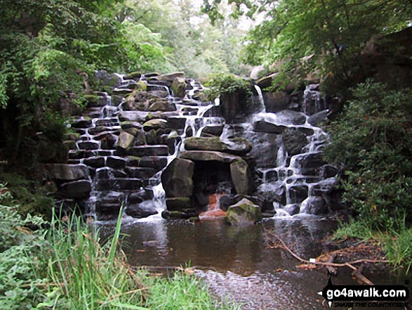
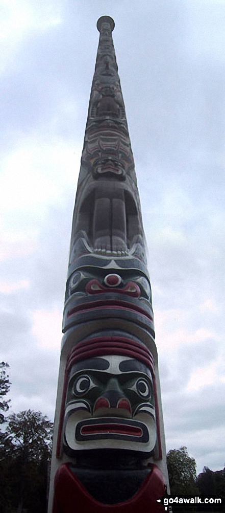
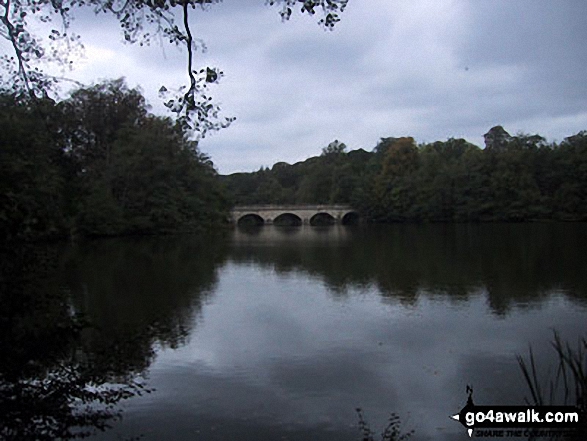
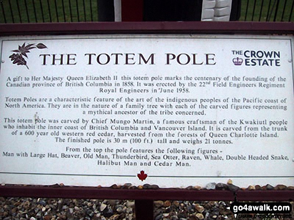
Virginia Water - Wick Pond - Totem Pole - Oxshed Clump - Valley Gardens - Heather Gardens - Johnson's Pond - Blacknest - Frostform Plantation - Leptis Magna Roman Ruins - Cascade Bridge - Virginia Water
Points of Interest/Notes on this walk:
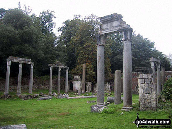
The Roman ruins on the southern shore of Virginia Water were brought from the Roman city of Leptis Magna in the Libyan desert by Hanmer Warrington & Augustus Earle in 1816. After sitting unappreciated outside the British Museum they were reconstructed at Virginia Water under the directorship of Jeffry Wyatville in 1826. This 'Temple of Augustus' is comprised of Corinthian columns supported on pedestals with half broken columns both standing & lying on the ground.
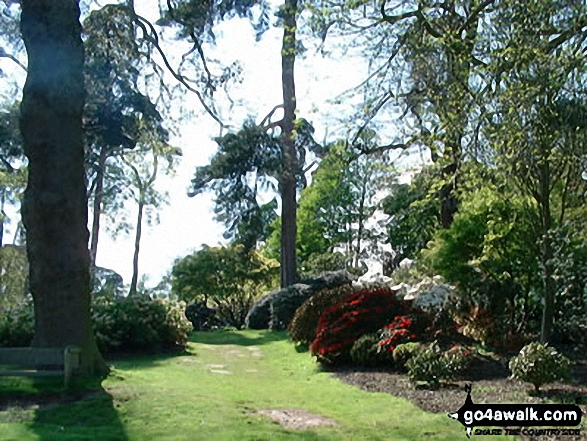
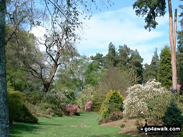
Virginia Water is part of Great Windsor Park and was created in the 18th Century by the Duke of Cumberland.
Peaks, Summits and Tops reached on this walk:
 0 English Mountains |
 0 Wainwrights |
 0 English Nuttalls |
 0 English Deweys |
 0 Wainwright Outlying Fells |
 0 Marilyns |
 0 Bridgets |
Free-to-access Interactive Walk Planning Maps:
1:25,000 scale OS Explorer Map (orange/yellow covers):
An Interactive Walk Planning Map for OS Explorer 160 Windsor, Weybridge & Bracknell is not currently available
1:50,000 scale OS Landranger Map (pink/magenta covers):
An Interactive Walk Planning Map for OS Landranger 175 Reading & Windsor, Henley-on-Thames & Bracknell is not currently available
Some Photos and Pictures from Walk be117 A circuit of Virginia Water
In no particular order . . .


. . . load all 12 walk photos from Walk be117 A circuit of Virginia Water
Send us your photographs and pictures from your walks and hikes
We would love to see your photographs and pictures from walk be117 A circuit of Virginia Water. Send them in to us as email attachments (configured for any computer) along with your name and where the picture was taken to:
and we shall do our best to publish them.
(Guide Resolution = 300dpi. At least = 660 pixels (wide) x 440 pixels (high).)

You can also submit photos from walk be117 A circuit of Virginia Water via our Facebook Page.
NB. Please indicate where each photo was taken.
To contribute to go4awalk.com or to contact us about anything at all - see Talk To Us.
For help see Help.
go4awalk.com and go4awalk.co.uk are registered trademarks of TMDH Limited.
Copyright © 2000-2026 TMDH Limited. All rights reserved.
Copyright Terms & Conditions Privacy Statement
A - Z Walks Home Log On/Accounts Photo Gallery Walk Ideas and Collections Fell Facts Hill Skills Walking Questions and Answers Your Stories News Competitions Product Reviews/Gear Tests Walking Gear Guides Peaks and Mountains Peak Bagging Find New Walking Friends Camping GPS Waypoints for Walking Contents Walk Search Talk To Us go4awalk.com Help Free Example Walks Newsletter


