   |
Vital Statistics:
| Length: | 10mls (16km) |
| Ascent: | 985ft (300m) |
| Time: | 4¾hrs |
| Grade: |  |
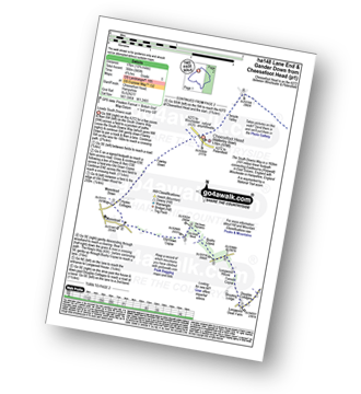
Route outline for walk ha148:
Cheesefoot Head Car Park - Cheesefoot Head (Matterley Bowl) - Fawley Down - Hydes Cottages - Morestead - Old Down Copse - Bushy Copse - Longwood House - Longwood Dead Farm - Lane End - The South Downs Way - Holden Farm - Gander Down - Temple Valley - Cheesefoot Head Car Park
Peaks, Summits and Tops reached on this walk:
 0 English Mountains |
 0 Wainwrights |
 0 English Nuttalls |
 0 English Deweys |
 0 Wainwright Outlying Fells |
 0 Marilyns |
 1 Bridget |
Peak Bagging Statistics for this walk:
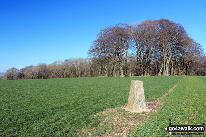
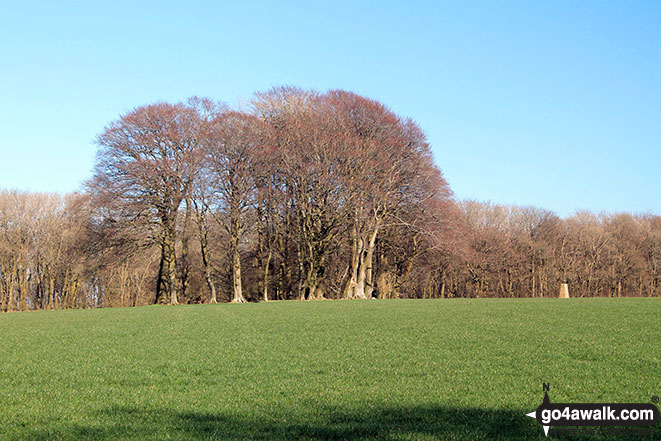
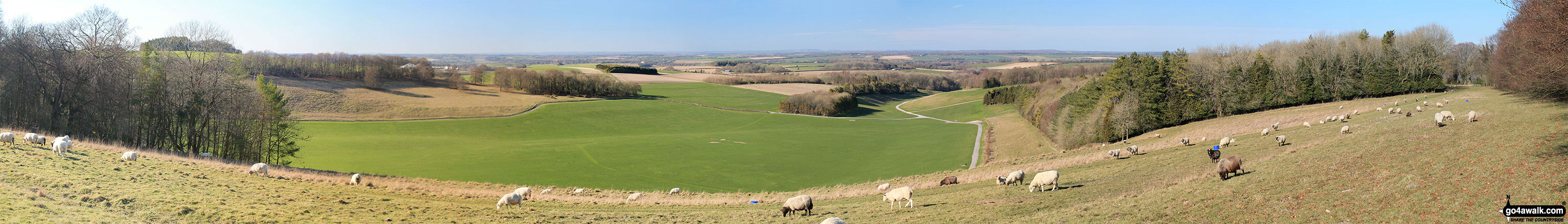
The highest point of this walk is Cheesefoot Head (Matterley Bowl) at 176m (577ft). Cheesefoot Head (Matterley Bowl) is known as an English Bridget. The summit of Cheesefoot Head (Matterley Bowl) is marked by an Ordnance Survey Trig Point. The natural amphitheatre on Cheesefoot Hill (also know as Matterley Bowl) was used by General Eisenhower to address US troops prior to The WW2 D-Day Landings & various boxing matches (including a Joe Louis bout). More recently it has been a regular site for the appearance of crop circles!
National Trails & Long Paths included on this walk:
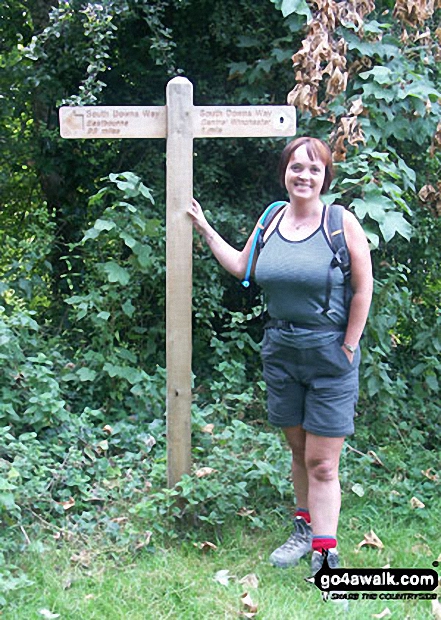
Part of this walk follows a section of The South Downs Way, a 162km (101 miles) linear footpath connecting Eastbourne (Holywell) in East Sussex, England with Winchester in Hampshire, England. The South Downs Way is waymarked by a National Trail acorn. For more walks that include a section of this trail see The South Downs Way.
You can find this walk and other nearby walks on these unique free-to-access Interactive Walk Planning Maps:
1:25,000 scale OS Explorer Map (orange/yellow covers):
An Interactive Walk Planning Map for OS Explorer OL32 Winchester is not currently available
1:50,000 scale OS Landranger Map (pink/magenta covers):
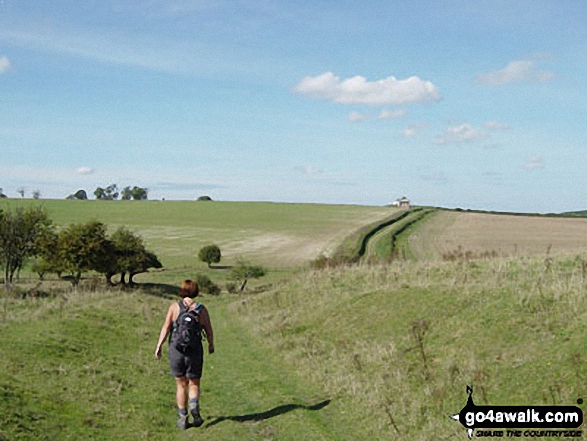
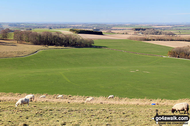
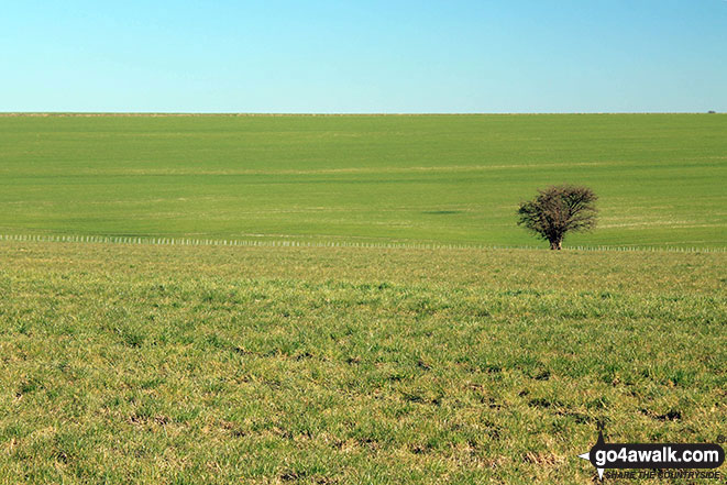
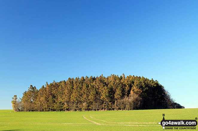
Some Photos and Pictures from Walk ha148 Lane End and Gander Down from Cheesefoot Head
In no particular order . . .
Send us your photographs and pictures from your walks and hikes
We would love to see your photographs and pictures from walk ha148 Lane End and Gander Down from Cheesefoot Head. Send them in to us as email attachments (configured for any computer) along with your name and where the picture was taken to:
and we shall do our best to publish them.
(Guide Resolution = 300dpi. At least = 660 pixels (wide) x 440 pixels (high).)

You can also submit photos from walk ha148 Lane End and Gander Down from Cheesefoot Head via our Facebook Page.
NB. Please indicate where each photo was taken.


