UK Postcode LN4 - The 30 nearest easy-to-follow, circular walk route maps to you
The thirty nearest easy-to-follow, circular walk route maps to you in UK Postcode LN4 in Walk Grade Order
The UK cities, towns and villages in Lincolnshire, England that have LN4 in their UK Postcode include:
• Ashby de la Launde • Billinghay • Blankney • Bloxholm • Bracebridge Heath • Branston • Branston Booths • Canwick • Chapel Hill • Coningsby • Digby • Dogdyke • Dorrington • Dunston • Hawthorn Hill • Heighington • Kirkby Green • Martin • Metheringham • New York • Nocton • North Kyme • Potterhanworth • Rowston • Scopwick • Scrub Hill • Sots Hole • South Kyme • Tattershall • Tattershall Bridge • Tattershall Thorpe • Thorpe Tilney Dales • Timberland • Walcot • Walcot Dales • Washingborough •
Not familiar with the area around LN4?
See these 30 nearest walks to UK Postcode LN4 on a google map
   |
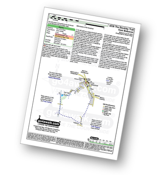
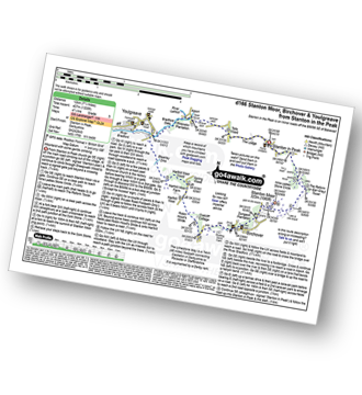
Vital Statistics:
| Length: | 8.75 miles (14 km) |
| Ascent: | 36ft (11m) |
| Time: | 3 hrs |
| Grade: |  |
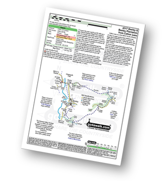
Route Summary:
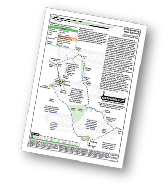
Bardney - Bardney Abbey - Young Wood - Southrey Wood - Tupholme Abbey - Southrey - The Viking Way - Bardney
|
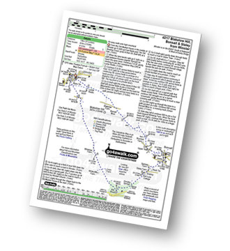
Vital Statistics:
| Length: | 7.25 miles (11.5 km) |
| Ascent: | 515ft (157m) |
| Time: | 3 hrs |
| Grade: |  |
|
Vital Statistics:
| Length: | 4.5 miles (7 km) |
| Ascent: | 407ft (124m) |
| Time: | 2 hrs |
| Grade: |  |
Route Summary:
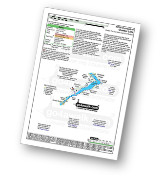
Clumber Park - Clumber Lake - Nursery Wood - Clumber Bridge - South Lawn - Five Thorns Plantation - Boat House Plantation - Tank Wood - Hardwick Grange - Hardwick Village - White Pleasant Wood - Ash Tree Wood - Clumber Park
|
Vital Statistics:
| Length: | 6 miles (9.5 km) |
| Ascent: | 331ft (101m) |
| Time: | 2½ hrs |
| Grade: | |
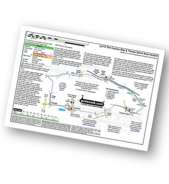
Route Summary:
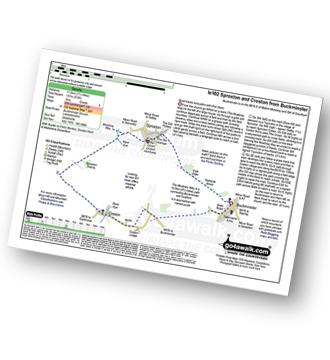
Thorpe Salvin - Hawks Wood - The Cuckoo Way - Chesterfield Canal - Old Spring Wood - Turnerwood - Crow Wood - Thorpe Salvin
|
Vital Statistics:
| Length: | 4.75 miles (7 km) |
| Ascent: | 394ft (120m) |
| Time: | 2 hrs |
| Grade: | |
|
Vital Statistics:
| Length: | 8.25 miles (13 km) |
| Ascent: | 404ft (123m) |
| Time: | 3½ hrs |
| Grade: | |
Route Summary:
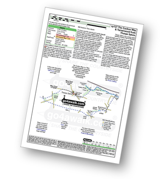
Harthill - Woodall - The Cuckoo Way - Kiveton Waters - Chesterfield Canal - Kiveton - Kiveton Park - Hawks Wood - Thorpe Salvin - Loscar Wood - Crow Wood - Harthill
|
Vital Statistics:
| Length: | 10 miles (16 km) |
| Ascent: | 515ft (157m) |
| Time: | 4½ hrs |
| Grade: |  |
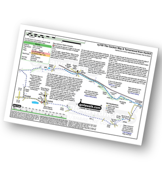
Route Summary:
Harthill - Woodall - The Cuckoo Way - Kiveton Waters - Chesterfield Canal - Kiveton - Kiveton Park - Hawks Wood - Old Spring Wood - Turnerwood - Brook House Top Farm - Top Hall Farm - Crow Wood - Harthill
|
Vital Statistics:
| Length: | 9 miles (14.5 km) |
| Ascent: | 33ft (10m) |
| Time: | 3½ hrs |
| Grade: | |
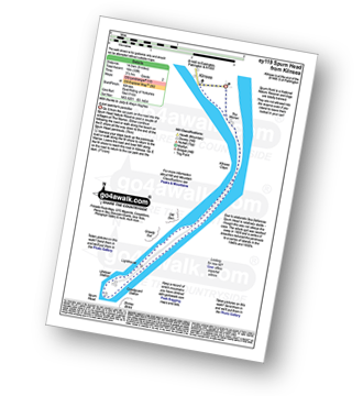
Route Summary:
Kilnsea - Spurn Head Peninsula - The Warren - Kilnsea Clays - Old Den - Greedy Gut - Low Light Lighthouse - Spurn Head - High Light Lighthouse - Stony Binks - Kilnsea
|
Vital Statistics:
| Length: | 4 miles (6.5 km) |
| Ascent: | 400ft (122m) |
| Time: | 2 hrs |
| Grade: | |
Route Summary:
Hell Bank Plantation - Beeley Plantation - Rabbit Warren - Beeley Brook - Hob Hurst's House - Harland Edge - Beeley Moor - Beeley Moor (South East Top) - Beeley Lane - Harland Sick - Hell Bank Plantation
|
Vital Statistics:
| Length: | 6.25 miles (10 km) |
| Ascent: | 1,103ft (336m) |
| Time: | 3½ hrs |
| Grade: | |
Route Summary:
Birchen Edge Car Park - Jumble Coppice - Three Men - Cupola Cottage - Jack Flat - Wellington's Monument - Curbar Gap - Baslow Edge - Eagle Stone - Eaglestone Flat - Birchen Edge - Nelson's Monument (Birchen Edge) - Three Ships - Birchen Edge Car Park
|
Vital Statistics:
| Length: | 12.75 miles (20.5 km) |
| Ascent: | 1,956ft (596m) |
| Time: | 6.75hrs |
| Grade: |  |
Route Summary:
Darley Bridge - Wensley Dale - Northern Dale - Ash Plantation - Brightgate Farm - Bonsall Moor - The Limestone Way - Luntor Rocks - Winster - Westhill Farm - Robin Hood's Stride - Harthill Moor - Harthill Moor Wood - Bleakley Dike - River Bradford - Bradford Dale - Youlgreave - Rhienstor Plantation - Greenfield Farm - Stoney Ley Wood - Rocking Stone Farm - Birchover - Uppertown Farm - Clough Wood - Sabine Hey Wood - Cowley Knowl - Darley Bridge
|
Vital Statistics:
| Length: | 8.25 miles (13 km) |
| Ascent: | 1,122ft (342m) |
| Time: | 4.25hrs |
| Grade: | |
Route Summary:
Beeley - Moor Farm - Beeley Plantation - Rabbit Warren - Beeley Brook - Hob Hurst's House - Harland Edge - Beeley Moor - Beeley Moor (South East Top) - Beeley Lane - Harland Sick - Hell Bank Plantation - Fallinge Farm - Smeltingmill Wood - Fold Farm - Beeley
|
Vital Statistics:
| Length: | 3.5 miles (5.5 km) |
| Ascent: | 528ft (161m) |
| Time: | 2 hrs |
| Grade: | |
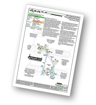
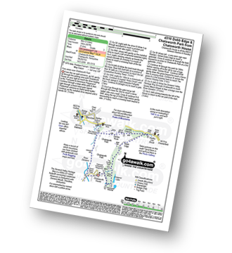
Route Summary:
Chatsworth House - Stand Wood Ornamental Waterfall - Chatsworth Elizabethan Hunting Tower - Chatsworth Park - The Cannon Kissing Gate - Baslow - The Derwent Valley Heritage Way - Chatsworth House
|
Vital Statistics:
| Length: | 5.5 miles (8.5 km) |
| Ascent: | 847ft (258m) |
| Time: | 2.75hrs |
| Grade: | |
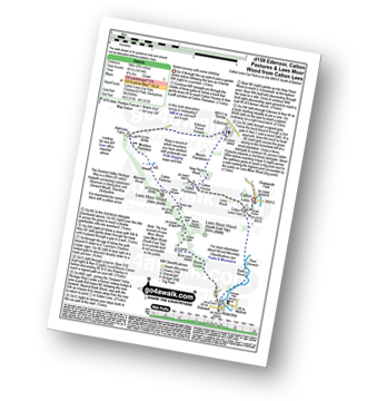
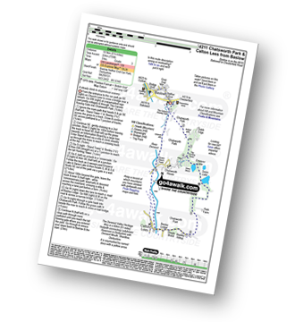
Route Summary:
Calton Lees - River Derwent - Beeley Lodge - Beeley Hilltop Farm - Rounds - Beeley Brook - Hell Bank Plantation - Beeley Plantation - Smeltingmill Wood - Burntwood Quarry - Fold Farm - Beeley - River Derwent - Calton Lees
|
Vital Statistics:
| Length: | 8.75 miles (14 km) |
| Ascent: | 1,414ft (431m) |
| Time: | 4.75hrs |
| Grade: |  |
Route Summary:
Calton Lees - Lees Wood - Calton Plantation - New Piece Wood - Maud's Plantations - Edensor - Edensor Forest Nursery - Ballcross Farm - Moatless Plantation - Calton Pastures - Manners Wood - Lees Moor Wood - Bouns Corner - Rowsley - The Derwent Valley Heritage Way - River Derwent - Bank Wood - Calton Lees
Not familiar with the area around LN4?
See these 30 nearest walks to UK Postcode LN4 on a google map
|
Vital Statistics:
| Length: | 5 miles (8 km) |
| Ascent: | 607ft (185m) |
| Time: | 2½ hrs |
| Grade: | |
Route Summary:
Chatsworth House - Stand Wood Ornamental Waterfall - Chatsworth Elizabethan Hunting Tower - Dobb Edge - Robin Hood (Baslow) - Birchen Edge Car Park - Jumble Coppice - Jubilee Rock - Chatsworth Park - The Cannon Kissing Gate - Baslow - The Derwent Valley Heritage Way - Chatsworth House
|
Vital Statistics:
| Length: | 6.5 miles (10.5 km) |
| Ascent: | 1,115ft (340m) |
| Time: | 3½ hrs |
| Grade: | |
Route Summary:
Rowsley - Holly Wood - Stanton Woodhouse Farm - Stanton Moor - The Reform Tower (or Earl Grey Tower) - The Cork Stone - Nine Ladies Stone Circle - Stanton in Peak - Smithy Wood - Congreave Farm - Rowsley
|
Vital Statistics:
| Length: | 9.75 miles (15.5 km) |
| Ascent: | 1,001ft (305m) |
| Time: | 4.75hrs |
| Grade: | |
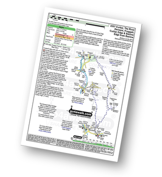
Route Summary:
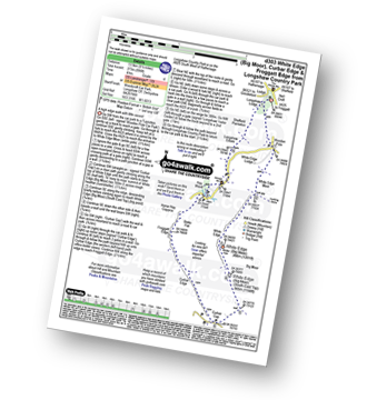
Curbar Gap - Curbar Edge - Froggatt Edge - Hay Wood - Longshaw (A621) - White Edge Lodge - White Edge Moor - Barbrook Bridge - Barbrook Reservoir - Bar Brook - Big Moor - Ramsley Moor - Ramsley Reservoir - Blake Brook - Wellington's Monument - Eagle Stone - Eaglestone Flat - Baslow Edge - Curbar Gap
|
Vital Statistics:
| Length: | 11.75 miles (19 km) |
| Ascent: | 1,559ft (475m) |
| Time: | 5.75hrs |
| Grade: | |
Route Summary:
Baslow - The Cannon Kissing Gate - Chatsworth Park - Queen Mary's Bower - Chatsworth House - River Derwent - Calton Lees - Beeley Lodge - Beeley - Beeley Plantation - Hell Bank Plantation - Ravvut Warren - Stand Wood - Swiss Lake - Emperor Lake - Elizabethan Hunting Lodge - Dobb Edge - Heathy Lea Brook - Robin Hood (Baslow) - Birchen Edge Car Park - Three Men - Cupola Cottage - Jack Flat - Wellington's Monument - Eagle Stone - Baslow
|
Vital Statistics:
| Length: | 5.5 miles (8.5 km) |
| Ascent: | 869ft (265m) |
| Time: | 3 hrs |
| Grade: | |
Route Summary:
Baslow - Over End - Wellington's Monument - Eagle Stone - Eaglestone Flat - Baslow Edge - Curbar - Calver - The Derwent Valley Heritage Way - River Derwent - Bridge End - Baslow
|
Vital Statistics:
| Length: | 6.5 miles (10.5 km) |
| Ascent: | 735ft (224m) |
| Time: | 3 hrs |
| Grade: | |
Route Summary:
Baslow - The Cannon Kissing Gate - Chatsworth Park - Stand Wood - Elizabethan Hunting Tower - Emperor Lake - Swidd Lake - Rabbit Warren - Beeley Hilltop Farm - Beeley Lodge - Calton Lees - Chatsworth Park - The Derwent Valley Heritage Way - Queen Mary's Tower - Chatsworth House - Chatsworth Park - Baslow
|
Vital Statistics:
| Length: | 7.5 miles (12 km) |
| Ascent: | 1,257ft (383m) |
| Time: | 4 hrs |
| Grade: | |
Route Summary:
Baslow - Baslow Nether End - Baslow Over End - Gorse Bank Farm - Grislow Field Farm - Lane Farm - Curbar - The Derwent Valley Heritage Way - The River Derwent - Stocking Farm - The Goit - New Bridge - Stoke Brook - Froggatt Bridge - Froggatt - Curbar Edge - Curbar Gap - Baslow Edge - Eagle Stone - Wellington's Monument - Baslow
|
Vital Statistics:
| Length: | 10 miles (16 km) |
| Ascent: | 1,509ft (460m) |
| Time: | 5.25hrs |
| Grade: | |
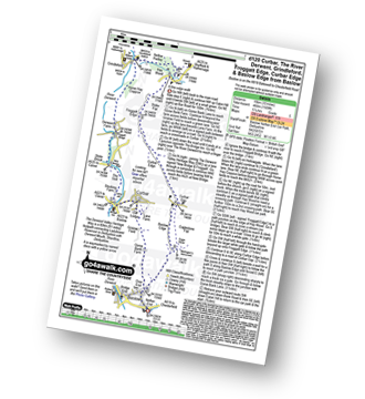
Route Summary:
Baslow - Baslow Nether End - Baslow Over End - Gorse Bank Farm - Grislow Field Farm - Lane Farm - Curbar - The Derwent Valley Heritage Way - The River Derwent - Stocking Farm - The Goit - New Bridge - Stoke Brook - Froggatt Bridge - Derwent Farm - Horse Hay Coppice - Grindleford - Grindleford Church - Hay Wood - Longshaw - Froggatt Edge - Curbar Edge - Curbar Gap - Baslow Edge - Eagle Stone - Wellington's Monument - Baslow
|
Vital Statistics:
| Length: | 5.75 miles (9 km) |
| Ascent: | 890ft (271m) |
| Time: | 3 hrs |
| Grade: | |
Route Summary:
Baslow - Bar Brook - The Cannon Kissing Gate - Chatsworth Park - Jubilee Rock - Jumble Coppice - Heathy Lea Brook - Robin Hood (Baslow) - Birchen Edge Car Park - Three Ships - Nelson's Monument (Birchen Edge) - Birchen Edge - Eaglestone Flat - Wellington's Monument - Eagle Stone - Over End - Baslow
|
Vital Statistics:
| Length: | 8.5 miles (13.5 km) |
| Ascent: | 896ft (273m) |
| Time: | 4 hrs |
| Grade: | |
Route Summary:
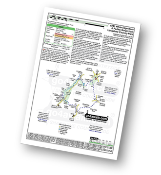
Longshaw Country Park - Woodcroft Car Park - Wooden Pole - White Edge Moor - White Edge (Big Moor) - White Edge (Big Moor) (South East Top) - Curbar Gap - Curbar Edge - Froggatt Edge - Hay Wood - Longshaw Estate - Sheffield Plantation - Longshaw Lodge - Longshaw Country Park
|
Vital Statistics:
| Length: | 5.5 miles (8.5 km) |
| Ascent: | 1,007ft (307m) |
| Time: | 3 hrs |
| Grade: | |
Route Summary:
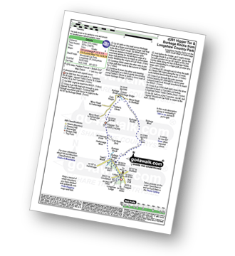
Longshaw Country Park - Woodcroft Car Park - Burbage Brook - Burbage Bridge - Toad's Mouth - Hathersage Moor - Carl Wark - Higger Tor - Upper Burbage Bridge - Burbage Moor - Burbage Rocks - Longshaw Country Park
|
Vital Statistics:
| Length: | 4.5 miles (7 km) |
| Ascent: | 804ft (245m) |
| Time: | 2½ hrs |
| Grade: | |
Route Summary:
Longshaw Country Park - Woodcroft Car Park - Wooden Pool - White Edge Moor - White Edge Lodge - Nether Padley - Oaks Wood - Grindleford Station - Padley Gorge - Lawrence Field - Burbage Brook - Granby Barn - Granby Wood - Longshaw Pond - Longshaw Country Park
|
Vital Statistics:
| Length: | 6.75 miles (11 km) |
| Ascent: | 1,122ft (342m) |
| Time: | 3.75hrs |
| Grade: | |
Route Summary:
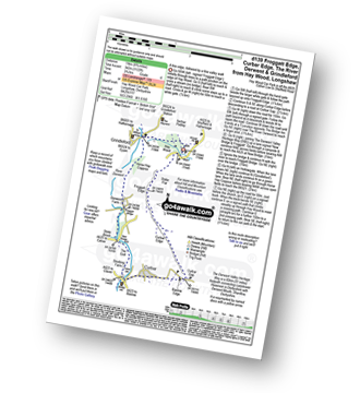
Hay Wood - Longshaw - Froggatt Edge - Curbar Edge - Curbar - The Derwent Valley Heritage Way - The River Derwent - Stocking Farm - The Goit - New Bridge - Stoke Brook - Froggatt Bridge - Derwent Farm - Horse Hay Coppice - Grindleford - Grindleford Church - Hay Wood
|
Vital Statistics:
| Length: | 7.5 miles (12 km) |
| Ascent: | 1,335ft (407m) |
| Time: | 4.25hrs |
| Grade: | |
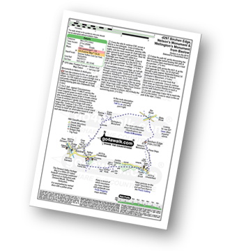
Route Summary:
Stanton in Peak - Nine Ladies Stone Circle - The Reform Tower (or Earl Grey Tower) - Cork Stone - Stanton Moor - Birchover - The Limestone Way - Robin Hood's Stride - Harthill Moor - Harthill Moor Farm - River Bradford - Bradford Dale - Rhienstor Plantation - Alport - Tolls Wood - Stanton in Peak
|
Vital Statistics:
| Length: | 8.25 miles (13 km) |
| Ascent: | 1,358ft (414m) |
| Time: | 4½ hrs |
| Grade: | |
Route Summary:
Winster - Luntor Rocks - The Limestone Way - Blakelow Hill - Bonsall Moor - Upper Town - Bonsall - Slaley - Dunsley Springs - Bonsall Wood - Ible Wood - Whitelow Farm - Bonsall Moor - Wyns Tor - Winster
Not familiar with the area around LN4?
See these 30 nearest walks to UK Postcode LN4 on a google map


