
![]()
Calton Pastures
289m (948ft)
The White Peak Area, The Peak District, Derbyshire, England
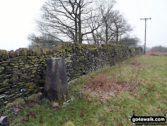
The summit of Calton Pastures is marked by an Ordnance Survey Trig Point.
Not familiar with this top?
   |
|---|
Vital Statistics:
| Length: | 8.75ml (14km) |
|---|---|
| Ascent: | 1,414ft (431m) |
| Time: | 4.75hrs |
| Grade: |  (Moderate) (Moderate) |
Route Summary:
Calton Lees - Lees Wood - Calton Plantation - New Piece Wood - Maud's Plantations - Edensor - Edensor Forest Nursery - Ballcross Farm - Moatless Plantation - Calton Pastures - Manners Wood - Lees Moor Wood - Bouns Corner - Rowsley - The Derwent Valley Heritage Way - River Derwent - Bank Wood - Calton Lees
See Calton Pastures and the surrounding tops on our free-to-access 'Google Style' Peak Bagging Maps:
The White Peak Area of The Peak District National Park
Less data - quicker to download
See Calton Pastures and the surrounding tops on our downloadable Peak Bagging Map in PDF format:

NB: Whether you print off a copy or download it to your phone, this PDF Peak Baggers' Map might prove incredibly useful when your are up there on the tops and you cannot get a phone signal.
You can find Calton Pastures & all the walks that climb it on these unique free-to-access Interactive Walk Planning Maps:
1:25,000 scale OS Explorer Map (orange/yellow covers):
1:50,000 scale OS Landranger Map (pink/magenta covers):
 Fellow go4awalkers who have already walked, climbed, summited & bagged Calton Pastures
Mark Davidson walked up Calton Pastures on January 30th, 2014 [with] Alone [weather] Cold, gloomy, cold. It couldn't decide whether to snow or rain so it do both!
To add (or remove) your name and experiences on this page - Log On and edit your Personal Mountain Bagging Record
More Photographs & Pictures of views from, on or of Calton Pastures
Send us your photographs and pictures on, of, or from Calton Pastures
If you would like to add your walk photographs and pictures featuring views from, on or of Calton Pastures to this page, please send them as email attachments (configured for any computer) along with your name to:
and we shall do our best to publish them.
(Guide Resolution = 300dpi. At least = 660pixels (wide) x 440 pixels (high).)

You can also submit photos via our Facebook Page.
NB. Please indicate where each photo was taken and whether you wish us to credit your photos with a Username or your First Name/Last Name.
Not familiar with this top?


