
![]()
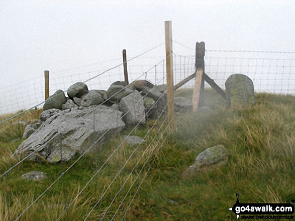
Garnedd Fawr
569m (1867ft)
The Arenigs Area, Gwynedd, Wales
*Garnedd Fawr is actually just outside of The National Park Boundary
Not familiar with this top?
   |
|---|
Vital Statistics:
| Length: | 6ml (9.5km) |
|---|---|
| Ascent: | 1,364ft (416m) |
| Time: | 3½ hrs |
| Grade: |  (Moderate) (Moderate) |
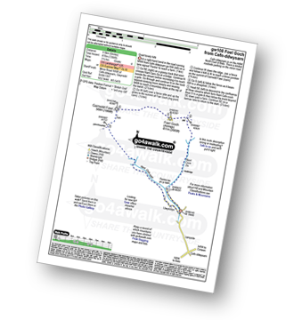
Route Summary:
Cefn-ddwysarn - Pentre-tai-yn-y-cwm - Nant Cwm Da - Foel Goch (Arenigs) - Garnedd Fawr - Nant Cefn-coch - Cefn-ddwysarn
|
|---|
Vital Statistics:
| Length: | 7.5ml (12km) |
|---|---|
| Ascent: | 1,963ft (598m) |
| Time: | 4.75hrs |
| Grade: |  (Moderate) (Moderate) |
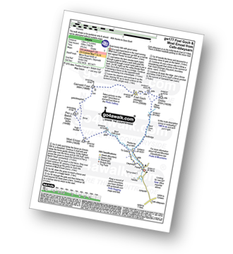
Route Summary:
Cefn-ddwysarn - Pentre-tai-yn-y-cwm - Nant Cwm Da - Waun Tafolog - Orddu - Foel Goch (Arenigs) - Garnedd Fawr - Pen y Bwlch Gwyn - Moel Emoel - Nant Cefn-coch - Tir Gofal - Llwyniolyn - Cefn-ddwysarn
See Garnedd Fawr and the surrounding tops on our free-to-access 'Google Style' Peak Bagging Map:
The Arenigs of Snowdonia National Park
Less data - quicker to download
See Garnedd Fawr and the surrounding tops on our downloadable Peak Bagging Map in PDF format:

NB: Whether you print off a copy or download it to your phone, this PDF Peak Baggers' Map might prove incredibly useful when your are up there on the tops and you cannot get a phone signal.
You can find Garnedd Fawr & all the walks that climb it on these unique free-to-access Interactive Walk Planning Maps:
1:25,000 scale OS Explorer Map (orange/yellow covers):
1:50,000 scale OS Landranger Map (pink/magenta covers):
 Fellow go4awalkers who have already walked, climbed, summited & bagged Garnedd Fawr
Mark Davidson walked up Garnedd Fawr on August 18th, 2008 [with] Mike [weather] Wet & rainy but cleared up later in the afternoon
To add (or remove) your name and experiences on this page - Log On and edit your Personal Mountain Bagging Record
More Photographs & Pictures of views from, on or of Garnedd Fawr
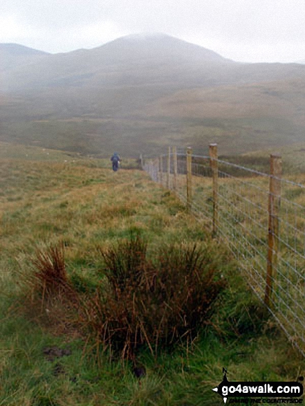
Send us your photographs and pictures on, of, or from Garnedd Fawr
If you would like to add your walk photographs and pictures featuring views from, on or of Garnedd Fawr to this page, please send them as email attachments (configured for any computer) along with your name to:
and we shall do our best to publish them.
(Guide Resolution = 300dpi. At least = 660pixels (wide) x 440 pixels (high).)

You can also submit photos via our Facebook Page.
NB. Please indicate where each photo was taken and whether you wish us to credit your photos with a Username or your First Name/Last Name.
Not familiar with this top?


