   |
Vital Statistics:
| Length: | 6mls (9.5km) |
| Ascent: | 1,364ft (416m) |
| Time: | 3½hrs |
| Grade: |  |
Route outline for walk gw108:
Cefn-ddwysarn - Pentre-tai-yn-y-cwm - Nant Cwm Da - Foel Goch (Arenigs) - Garnedd Fawr - Nant Cefn-coch - Cefn-ddwysarn
Peaks, Summits and Tops reached on this walk:
 1 Welsh Mountain |
 0 Wainwrights |
 1 Welsh Nuttall |
 1 Welsh Dewey |
 0 Wainwright Outlying Fells |
 1 Welsh Marilyn |
 0 Bridgets |
Peak Bagging Statistics for this walk:
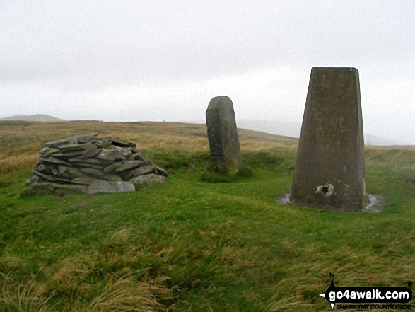
The highest point of this walk is Foel Goch (Arenigs) at 611m (2005ft). Foel Goch (Arenigs) is classified as a Welsh Mountain (Hewitt) (132nd highest in Wales, 310th highest in England & Wales)
Foel Goch (Arenigs) is also known as a Welsh Nuttall (184th highest in Wales, 433rd highest in England & Wales) and a Welsh Marilyn (52nd highest in Wales, 748th highest in the UK).
Foel Goch (Arenigs) means 'Red Bare Hill' in Welsh and is pronounced 'foil-gokh'.
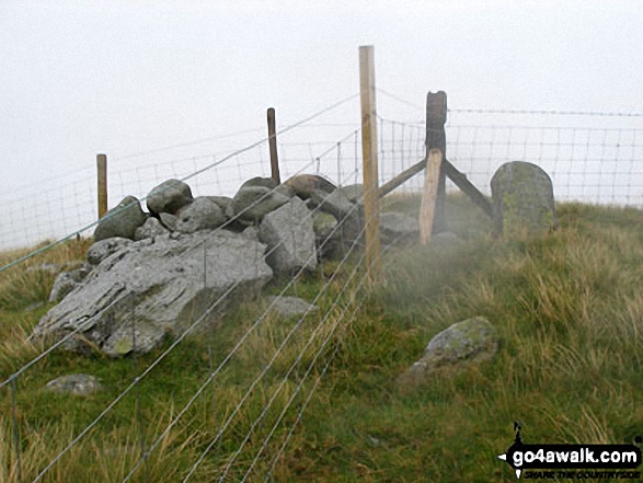
The summit of Foel Goch (Arenigs) is marked by an Ordnance Survey Trig Point.
Completing this walk will also take you to the top of Garnedd Fawr at 569m (1867ft). Garnedd Fawr is also known as a Welsh Dewey (51st highest in Wales, 92nd in England & Wales)
You can find this walk and other nearby walks on these unique free-to-access Interactive Walk Planning Maps:
1:25,000 scale OS Explorer Map (orange/yellow covers):
1:50,000 scale OS Landranger Map (pink/magenta covers):
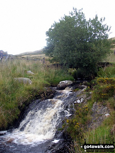
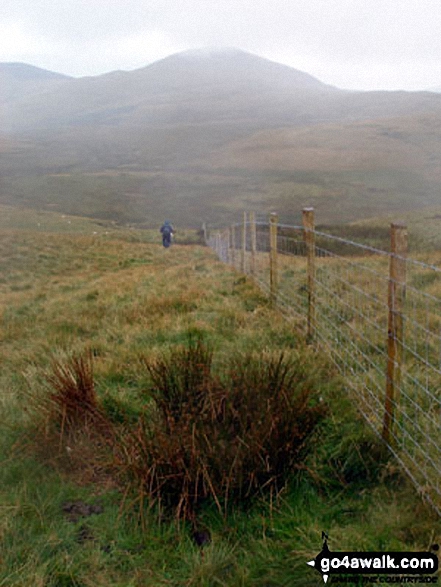
Some Photos and Pictures from Walk gw108 Foel Goch from Cefn-ddwysarn
In no particular order . . .
Send us your photographs and pictures from your walks and hikes
We would love to see your photographs and pictures from walk gw108 Foel Goch from Cefn-ddwysarn. Send them in to us as email attachments (configured for any computer) along with your name and where the picture was taken to:
and we shall do our best to publish them.
(Guide Resolution = 300dpi. At least = 660 pixels (wide) x 440 pixels (high).)

You can also submit photos from walk gw108 Foel Goch from Cefn-ddwysarn via our Facebook Page.
NB. Please indicate where each photo was taken.


