A fully detailed list of all the Mountains, Peaks, Tops and Hills in The Carsphairn Forest Hills area of Scottish Region 26: The Southern Uplands
The Carsphairn Forest Hills area of Scottish Region 26: The Southern Uplands region is the area enclosed by an imaginary line connecting:
- Ayr to Cumnock via the A70 to the North
- Cumnock to Dumfries via the A76 through New Cumnock, Sanquhar and Nithsdale to the East;
- Dumfries to Kirkcudbright via The Solway Firth to the South
- Kirkcudbright to Ayr via the A713 through Ringford, Lauriston, New Galloway, St John's Town of Dairy, Carsphain, Dalmellington and Patna to the West
If you include all the , the Corbetts, the Grahams, the Donalds, the Marilyns, the Bridgets (Hills), and all the Mountains, Tops, Peaks and Hills with a Trig Point on them there are 27 tops to climb, bag & conquer and the highest point is Cairnsmore of Carsphairn at 797m (2,615ft).
To see these Mountains, Peaks, Tops and Hills displayed in different ways - see the options in the left-hand column and towards the bottom of this page.
![]() Your Personal Bagging Record for The Carsphairn Forest Hills area of Scottish Region 26: The Southern Uplands
Your Personal Bagging Record for The Carsphairn Forest Hills area of Scottish Region 26: The Southern Uplands
LOG ON and RELOAD this page to show which Mountains, Peaks, Tops and Hills you have already climbed, bagged & conquered [. . . more details]
See this list in: Alphabetical Order
| Height Order‡
To reverse the order select the link again.
Mountain, Peak, Top or Hill:
Bagged

![]()
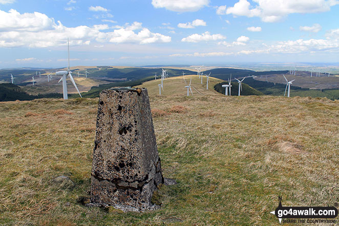
1. Cairnsmore of Carsphairn
797m (2,615ft)
Send it in and we'll publish it here.
Cairnsmore of Carsphairn is on interactive maps:
A downloadable go4awalk.com PDF Peak Bagging Map featuring Cairnsmore of Carsphairn will be available soon. |

![]()
2. Blackcraig Hill (Glen Afton)
701m (2,300ft)
Send it in and we'll publish it here.
Blackcraig Hill (Glen Afton) is on interactive maps:
A downloadable go4awalk.com PDF Peak Bagging Map featuring Blackcraig Hill (Glen Afton) will be available soon. |
![]()
3. Windy Standard
698m (2,291ft)
Windy Standard is on interactive maps:
A downloadable go4awalk.com PDF Peak Bagging Map featuring Windy Standard will be available soon. |

![]()
4. Blacklorg Hill
681m (2,235ft)
Blacklorg Hill is on interactive maps:
A downloadable go4awalk.com PDF Peak Bagging Map featuring Blacklorg Hill will be available soon. |
![]()
5. Moorbrock Hill
650m (2,133ft)
Moorbrock Hill is on interactive maps:
A downloadable go4awalk.com PDF Peak Bagging Map featuring Moorbrock Hill will be available soon. |
![]()
6. Alhang
642m (2,107ft)
Alhang is on interactive maps:
A downloadable go4awalk.com PDF Peak Bagging Map featuring Alhang will be available soon. |

![]()
7. Colt Hill
598m (1,963ft)
Colt Hill is on interactive maps:
A downloadable go4awalk.com PDF Peak Bagging Map featuring Colt Hill will be available soon. |

![]()
8. Corse Hill (Carsphain Forest)
581m (1,906ft)
Send it in and we'll publish it here.
Corse Hill (Carsphain Forest) is on interactive maps:
|
![]()
9. Benbrack
580m (1,903ft)
Benbrack is on interactive maps:
|
![]()
10. Criffel
569m (1,867ft)
Criffel is on interactive maps:
A downloadable go4awalk.com PDF Peak Bagging Map featuring Criffel will be available soon. |
![]()
11. Enoch Hill
569m (1,867ft)
Enoch Hill is on interactive maps:
A downloadable go4awalk.com PDF Peak Bagging Map featuring Enoch Hill will be available soon. |
![]()
12. Cairnkinna Hill
554m (1,818ft)
Cairnkinna Hill is on interactive maps:
A downloadable go4awalk.com PDF Peak Bagging Map featuring Cairnkinna Hill will be available soon. |

![]()
13. Wether Hill (The Glenkens)
535m (1,756ft)
Send it in and we'll publish it here.
Wether Hill (The Glenkens) is on interactive maps:
A downloadable go4awalk.com PDF Peak Bagging Map featuring Wether Hill (The Glenkens) will be available soon. |
![]()
14. Benbeoch
464m (1,523ft)
Benbeoch is on interactive maps:
A downloadable go4awalk.com PDF Peak Bagging Map featuring Benbeoch will be available soon. |
![]()
15. Bogrie Hill
432m (1,418ft)
Bogrie Hill is on interactive maps:
A downloadable go4awalk.com PDF Peak Bagging Map featuring Bogrie Hill will be available soon. |
![]()
16. Fell Hill (Glenkens)
417m (1,369ft)
Send it in and we'll publish it here.
Fell Hill (Glenkens) is on interactive maps:
A downloadable go4awalk.com PDF Peak Bagging Map featuring Fell Hill (Glenkens) will be available soon. |
![]()
17. Bennan
398m (1,306ft)
Bennan is on interactive maps:
A downloadable go4awalk.com PDF Peak Bagging Map featuring Bennan will be available soon. |
![]()
18. Bishop Forest Hill
392m (1,287ft)
Bishop Forest Hill is on interactive maps:
A downloadable go4awalk.com PDF Peak Bagging Map featuring Bishop Forest Hill will be available soon. |
![]()
19. Bengairn
391m (1,283ft)
Bengairn is on interactive maps:
A downloadable go4awalk.com PDF Peak Bagging Map featuring Bengairn will be available soon. |
![]()
20. Darngarroch Hill
373m (1,224ft)
Darngarroch Hill is on interactive maps:
A downloadable go4awalk.com PDF Peak Bagging Map featuring Darngarroch Hill will be available soon. |
![]()
21. Wauk Hill
357m (1,172ft)
Wauk Hill is on interactive maps:
A downloadable go4awalk.com PDF Peak Bagging Map featuring Wauk Hill will be available soon. |
![]()
22. Mochrum Fell
317m (1,040ft)
Mochrum Fell is on interactive maps:
A downloadable go4awalk.com PDF Peak Bagging Map featuring Mochrum Fell will be available soon. |
![]()
23. Maidenpap
314m (1,031ft)
Maidenpap is on interactive maps:
A downloadable go4awalk.com PDF Peak Bagging Map featuring Maidenpap will be available soon. |
![]()
24. Bainloch Hill
287m (942ft)
Bainloch Hill is on interactive maps:
A downloadable go4awalk.com PDF Peak Bagging Map featuring Bainloch Hill will be available soon. |
![]()
25. Woodhead Hill
258m (847ft)
Woodhead Hill is on interactive maps:
A downloadable go4awalk.com PDF Peak Bagging Map featuring Woodhead Hill will be available soon. |
![]()
26. See Morris Hill
240m (788ft)
See Morris Hill is on interactive maps:
A downloadable go4awalk.com PDF Peak Bagging Map featuring See Morris Hill will be available soon. |
![]()
27. Killyleoch Hill
240m (786ft)
Killyleoch Hill is on interactive maps:
A downloadable go4awalk.com PDF Peak Bagging Map featuring Killyleoch Hill will be available soon. |
View these 27 Mountains, Peaks, Tops and Hills:
- On an Interactive Google Map (loads faster)
- On an Interactive Google Map with a list of tops below it.
(makes it easier to locate a particular top) - On a Detailed List in:
Alphabetical Order | Height Order - On one page with 'yet-to-be-bagged' listed 1st & then 'already-bagged' tops listed 2nd in:
Alphabetical Order | Height Order - On one page with 'already-bagged' tops listed 1st & then 'yet-to-be-bagged' tops listed 2nd in:
Alphabetical Order | Height Order
Is there a Mountain, Peak, Top or Hill missing from the above google map or list?
Let us know an we will add it to our database.

To contribute to go4awalk.com or to contact us about anything at all - see Talk To Us.
For help see Help.
go4awalk.com and go4awalk.co.uk are registered trademarks of TMDH Limited.
Copyright © 2000-2026 TMDH Limited. All rights reserved.
Copyright Terms & Conditions Privacy Statement
A - Z Walks Home Log On/Accounts Photo Gallery Walk Ideas and Collections Fell Facts Hill Skills Walking Questions and Answers Your Stories News Competitions Product Reviews/Gear Tests Walking Gear Guides Peaks and Mountains Peak Bagging Find New Walking Friends Camping GPS Waypoints for Walking Contents Walk Search Talk To Us go4awalk.com Help Free Example Walks Newsletter


