
![]()
Moorbrock Hill
650m (2133ft)
The Carsphairn Hills, The Southern Uplands, Dumfries and Galloway, Scotland
The summit of Moorbrock Hill is marked by a rock.
Not familiar with this top?
You can walk/hike to the top of Moorbrock Hill by using this easy‑to‑follow route map:
Walk dg108 Moorbrock Hill and Windy Standard from Craigengillan
Fine views though the ground can be rough
   |
|---|
Vital Statistics:
| Length: | 13.75ml (22km) |
|---|---|
| Ascent: | 3,206ft (977m) |
| Time: | 8.25hrs |
| Grade: |  (Hard) (Hard) |
Route Summary:
Craigengillan - Craigengillan Bridge - Galloway Forest Park - Polifferie Burn - Poldores Burn - Tup Knowe - Soms Knowe - Scar Knowe - Moorbrock Farm - Poltie Burn - Green Hill (Moorbrock) - Moorbrock Hill - Moorbrock Hill (North Top) - Luke's Stone - Keoch Rig - Deil's Putting Stone - Chapman's Cleugh - Windy Standard - Trostan Hill - Dugland - Clennoch Bothy - Green Hill (Moorbrock) - Craigengillan
See Moorbrock Hill and the surrounding tops on our free-to-access 'Google Style' Peak Bagging Maps:
The Carsphairn Forest Hills area of Scottish Region 26: The Southern Uplands
Less data - quicker to download
Scottish Region 26: The Southern Uplands
Less data - quicker to download
A go4awalk.com downloadable Peak Bagging Map in PDF format featuring Moorbrock Hill should be available soon.
You can find Moorbrock Hill & all the walks that climb it on these unique free-to-access Interactive Walk Planning Maps:
1:25,000 scale OS Explorer Map (orange/yellow covers):
1:50,000 scale OS Landranger Map (pink/magenta covers):
 Fellow go4awalkers who have already walked, climbed, scaled, summited, hiked & bagged Moorbrock Hill
Mark Davidson walked up Moorbrock Hill on May 17th, 2018 [from/via/route] Walk dg108 Moorbrock Hill & Windy Standard from Craigengillan [with] Alone [weather] Lovely & sunny. Didn't see a soul all day - just fantastic
To add (or remove) your name and experiences on this page - Log On and edit your Personal Mountain Bagging Record
More Photographs & Pictures of views from, on, or of, Moorbrock Hill

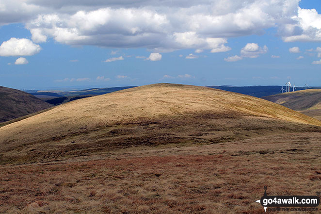
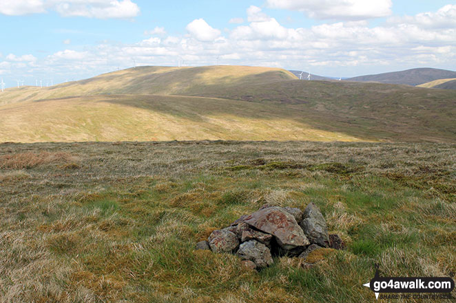
Keoch Rig, Moorbrock Hill, Beninner and Cairnsmore of Carsphairn from Dugland

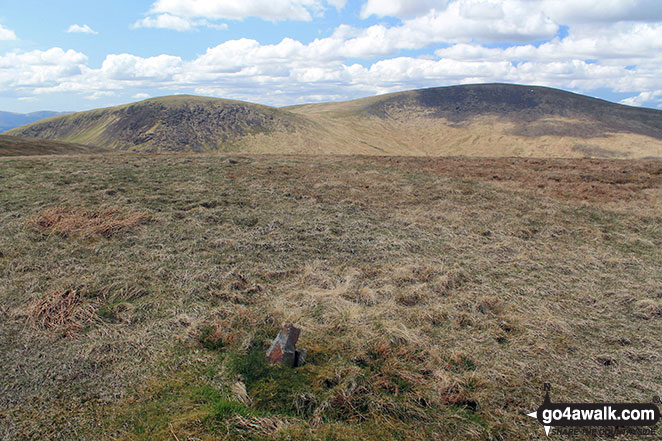
Moorbrock Hill summit with Keoch Rig (left) and Windy Standard (right) in the background
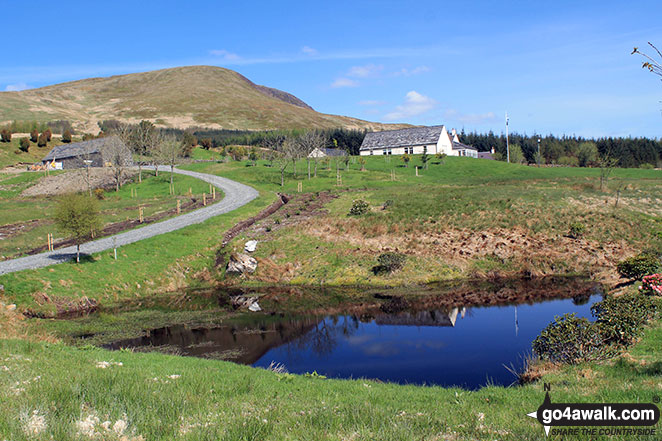
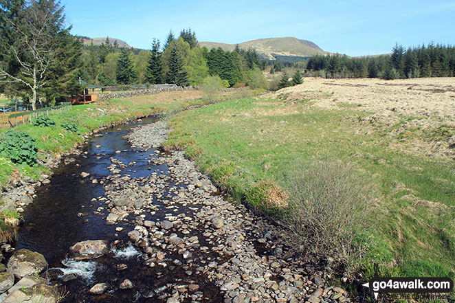
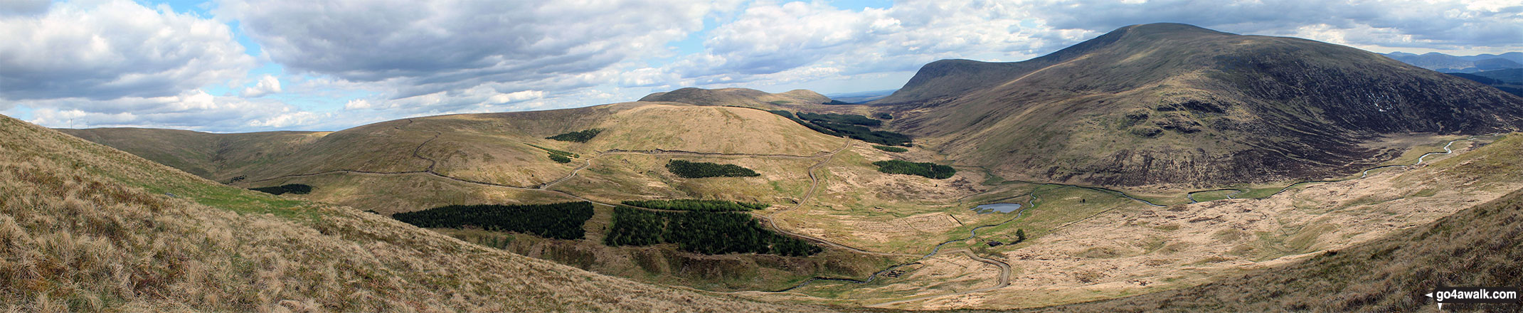
Polifferie Burn from Craigengillan Bridge with Moorbrock Hill in the distance
Send us your photographs and pictures on, of, or from Moorbrock Hill
If you would like to add your walk photographs and pictures to this page, please send them as email attachments (configured for any computer) along with your name to:
and we shall do our best to publish them.
(Guide Resolution = 300dpi. At least = 660pixels (wide) x 440 pixels (high).)

You can also submit photos via our Facebook Page.
NB. Please indicate where each photo was taken and whether you wish us to credit your photos with a Username or your First Name/Last Name.


