A fully detailed list of all the Mountains, Peaks, Tops and Hills in The Isle of Arran, Scottish Region 20: The South Western Isles
If you include all the Munros, the Corbetts, the Grahams, the Donalds, the Murdos, the Marilyns, the Bridgets (Hills), and all the Mountains, Tops, Peaks and Hills with a Trig Point on them there are 14 tops to climb, bag & conquer and the highest point is Goatfell (Goat Fell) at 874m (2,868ft).
To see these Mountains, Peaks, Tops and Hills displayed in different ways - see the options in the left-hand column and towards the bottom of this page.
![]() Your Personal Bagging Record for The Isle of Arran, Scottish Region 20: The South Western Isles
Your Personal Bagging Record for The Isle of Arran, Scottish Region 20: The South Western Isles
LOG ON and RELOAD this page to show which Mountains, Peaks, Tops and Hills you have already climbed, bagged & conquered [. . . more details]
See this list in: Alphabetical Order
| Height Order‡
To reverse the order select the link again.
Mountain, Peak, Top or Hill:
Bagged

![]()
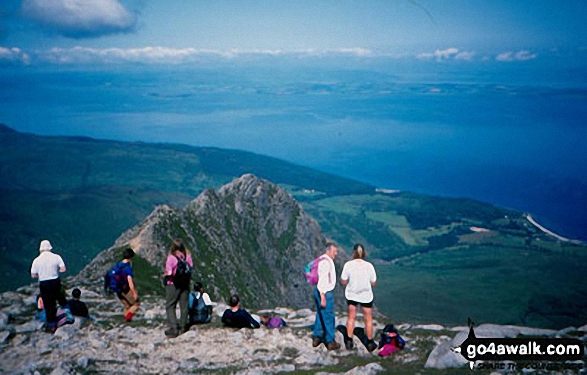
1. Goatfell (Goat Fell)
874m (2,868ft)
Goatfell (Goat Fell) is on interactive maps:
A downloadable go4awalk.com PDF Peak Bagging Map featuring Goatfell (Goat Fell) will be available soon. |
![]()
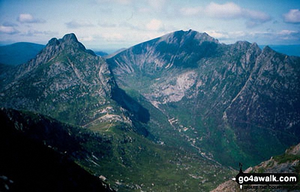
2. Caisteal Abhail
859m (2,819ft)
Caisteal Abhail is on interactive maps:
A downloadable go4awalk.com PDF Peak Bagging Map featuring Caisteal Abhail will be available soon. |

![]()
3. Beinn Tarsuinn (Arran)
826m (2,710ft)
Send it in and we'll publish it here.
Beinn Tarsuinn (Arran) is on interactive maps:
A downloadable go4awalk.com PDF Peak Bagging Map featuring Beinn Tarsuinn (Arran) will be available soon. |
![]()
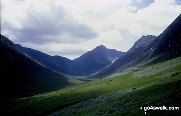
4. Cir Mhor
798m (2,618ft)
Cir Mhor is on interactive maps:
A downloadable go4awalk.com PDF Peak Bagging Map featuring Cir Mhor will be available soon. |

![]()
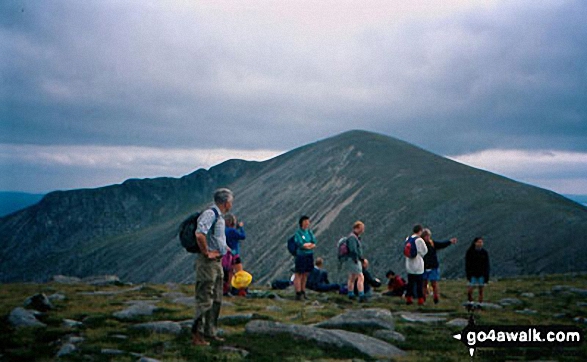
5. Mullach Buidhe (Arran)
721m (2,366ft)
Mullach Buidhe (Arran) is on interactive maps:
A downloadable go4awalk.com PDF Peak Bagging Map featuring Mullach Buidhe (Arran) will be available soon. |

![]()
6. Beinn Bhreac (Arran)
575m (1,887ft)
Beinn Bhreac (Arran) is on interactive maps:
A downloadable go4awalk.com PDF Peak Bagging Map featuring Beinn Bhreac (Arran) will be available soon. |
![]()
7. Meall nan Damh (Arran)
570m (1,871ft)
Send it in and we'll publish it here.
Meall nan Damh (Arran) is on interactive maps:
A downloadable go4awalk.com PDF Peak Bagging Map featuring Meall nan Damh (Arran) will be available soon. |
![]()
8. A' Chruach (Arran)
513m (1,681ft)
A' Chruach (Arran) is on interactive maps:
A downloadable go4awalk.com PDF Peak Bagging Map featuring A' Chruach (Arran) will be available soon. |

![]()
9. Ard Bheinn (Arran)
512m (1,680ft)
Ard Bheinn (Arran) is on interactive maps:
A downloadable go4awalk.com PDF Peak Bagging Map featuring Ard Bheinn (Arran) will be available soon. |
![]()
10. Ard Bheinn (Arran)
512m (1,680ft)
Ard Bheinn (Arran) is on interactive maps:
A downloadable go4awalk.com PDF Peak Bagging Map featuring Ard Bheinn (Arran) will be available soon. |
![]()
11. Sail Chalmadale (Arran)
480m (1,575ft)
Send it in and we'll publish it here.
Sail Chalmadale (Arran) is on interactive maps:
A downloadable go4awalk.com PDF Peak Bagging Map featuring Sail Chalmadale (Arran) will be available soon. |

![]()
12. Tighvein
458m (1,503ft)
Tighvein is on interactive maps:
A downloadable go4awalk.com PDF Peak Bagging Map featuring Tighvein will be available soon. |
![]()
13. Laggan (Creag Ghlas Laggan - Fionn Bhealach)
444m (1,457ft)
Send it in and we'll publish it here.
Laggan (Creag Ghlas Laggan - Fionn Bhealach) is on interactive maps:
A downloadable go4awalk.com PDF Peak Bagging Map featuring Laggan (Creag Ghlas Laggan - Fionn Bhealach) will be available soon. |
![]()
14. Mullach Mor (Holy Island)
314m (1,031ft)
Send it in and we'll publish it here.
Mullach Mor (Holy Island) is on interactive maps:
A downloadable go4awalk.com PDF Peak Bagging Map featuring Mullach Mor (Holy Island) will be available soon. |
View these 14 Mountains, Peaks, Tops and Hills:
- On an Interactive Google Map (loads faster)
- On an Interactive Google Map with a list of tops below it.
(makes it easier to locate a particular top) - On a Detailed List in:
Alphabetical Order | Height Order - On one page with 'yet-to-be-bagged' listed 1st & then 'already-bagged' tops listed 2nd in:
Alphabetical Order | Height Order - On one page with 'already-bagged' tops listed 1st & then 'yet-to-be-bagged' tops listed 2nd in:
Alphabetical Order | Height Order
Is there a Mountain, Peak, Top or Hill missing from the above google map or list?
Let us know an we will add it to our database.

To contribute to go4awalk.com or to contact us about anything at all - see Talk To Us.
For help see Help.
go4awalk.com and go4awalk.co.uk are registered trademarks of TMDH Limited.
Copyright © 2000-2026 TMDH Limited. All rights reserved.
Copyright Terms & Conditions Privacy Statement
A - Z Walks Home Log On/Accounts Photo Gallery Walk Ideas and Collections Fell Facts Hill Skills Walking Questions and Answers Your Stories News Competitions Product Reviews/Gear Tests Walking Gear Guides Peaks and Mountains Peak Bagging Find New Walking Friends Camping GPS Waypoints for Walking Contents Walk Search Talk To Us go4awalk.com Help Free Example Walks Newsletter


