A fully detailed list of all the Mountains, Peaks, Tops and Hills in Scottish Region 18: Loch Sunart and Loch Shiel (Page 1 of 2)
Scottish Region 18: Loch Sunart and Loch Shiel region is the area enclosed by an imaginary line connecting:
- Lochailort to Fort William via the A30, Loch Eilt, Glenfinnan, Kinlocheil and Loch Eil to the North
- Fort William to Rubha an Ribire via Loch Linnhe and Inversanda Bay to the South East
- Rubha an Ribire to Ardnamurchan Lighthouse via the Sound of Mull to the South West
- Ardnamurchan Lighthouse to Lochailort via the Sea of the Hebrides and Loch Ailort to the North West
If you include all the Munros, the Corbetts, the Grahams, the Donalds, the Murdos, the Marilyns, the Bridgets (Hills), and all the Mountains, Tops, Peaks and Hills with a Trig Point on them there are 50 tops to climb, bag & conquer and the highest point is Sgurr Dhomhnuill at 888m (2,914ft).
To see these Mountains, Peaks, Tops and Hills displayed in different ways - see the options in the left-hand column and towards the bottom of this page.
![]() Your Personal Bagging Record for Scottish Region 18: Loch Sunart and Loch Shiel
Your Personal Bagging Record for Scottish Region 18: Loch Sunart and Loch Shiel
LOG ON and RELOAD this page to show which Mountains, Peaks, Tops and Hills you have already climbed, bagged & conquered [. . . more details]
Page 1 of 2 Go to page: 1 2 |
See this list in: Alphabetical Order
| Height Order‡
To reverse the order select the link again.
Mountain, Peak, Top or Hill:
Bagged

![]()
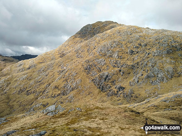
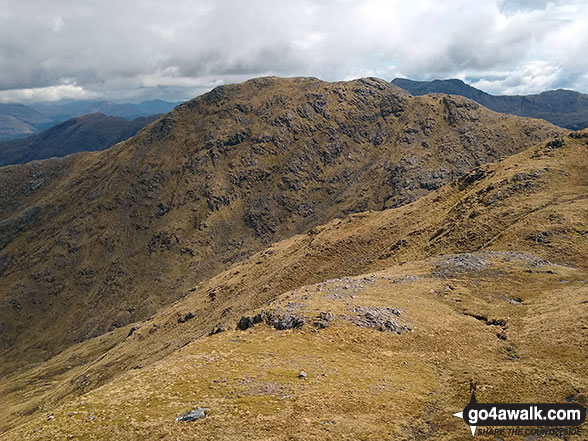
1. Sgurr Dhomhnuill
888m (2,914ft)
Sgurr Dhomhnuill is on interactive maps:
A downloadable go4awalk.com PDF Peak Bagging Map featuring Sgurr Dhomhnuill will be available soon. |

![]()
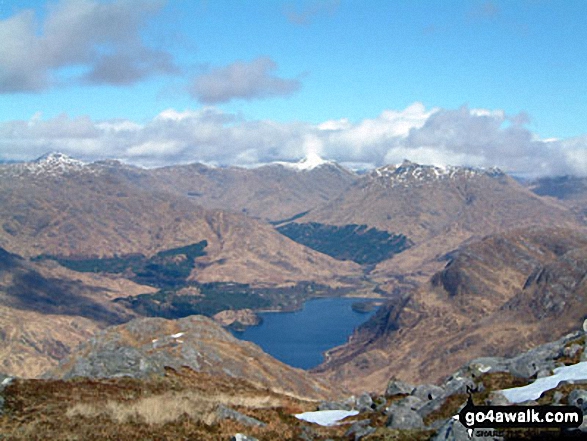
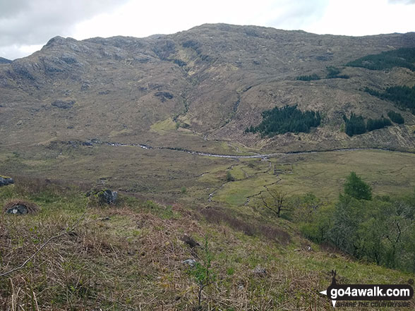
2. Garbh Bheinn (Glen Tarbert)
885m (2,904ft)
Send it in and we'll publish it here.
Garbh Bheinn (Glen Tarbert) is on interactive maps:
A downloadable go4awalk.com PDF Peak Bagging Map featuring Garbh Bheinn (Glen Tarbert) will be available soon. |
![]()
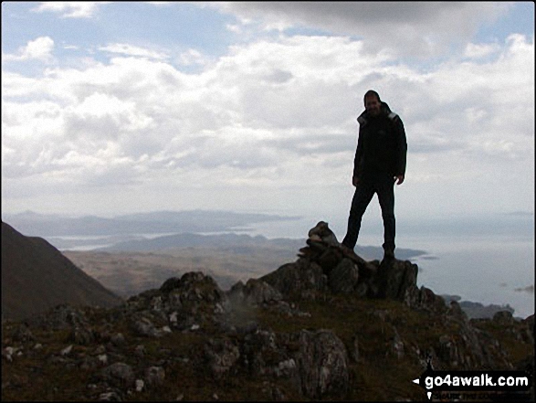
3. Beinn Odhar Bheag
882m (2,894ft)
Beinn Odhar Bheag is on interactive maps:
A downloadable go4awalk.com PDF Peak Bagging Map featuring Beinn Odhar Bheag will be available soon. |
![]()
4. Rois-Bheinn
882m (2,894ft)
Rois-Bheinn is on interactive maps:
A downloadable go4awalk.com PDF Peak Bagging Map featuring Rois-Bheinn will be available soon. |
![]()
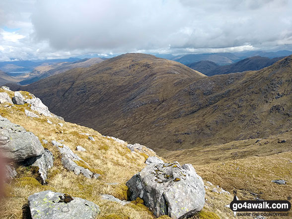
5. Sgurr na Ba Glaise
874m (2,868ft)
Sgurr na Ba Glaise is on interactive maps:
A downloadable go4awalk.com PDF Peak Bagging Map featuring Sgurr na Ba Glaise will be available soon. |
![]()
6. Creach Bheinn (Glen Tarbert)
853m (2,800ft)
Send it in and we'll publish it here.
Creach Bheinn (Glen Tarbert) is on interactive maps:
A downloadable go4awalk.com PDF Peak Bagging Map featuring Creach Bheinn (Glen Tarbert) will be available soon. |
![]()
7. Sgurr Ghiubhsachain
849m (2,786ft)
Sgurr Ghiubhsachain is on interactive maps:
A downloadable go4awalk.com PDF Peak Bagging Map featuring Sgurr Ghiubhsachain will be available soon. |
![]()
8. Beinn Resipol
845m (2,773ft)
Beinn Resipol is on interactive maps:
A downloadable go4awalk.com PDF Peak Bagging Map featuring Beinn Resipol will be available soon. |
![]()
9. An Stac (Rhos-Beinn)
814m (2,672ft)
An Stac (Rhos-Beinn) is on interactive maps:
A downloadable go4awalk.com PDF Peak Bagging Map featuring An Stac (Rhos-Beinn) will be available soon. |
![]()
10. Carn na Nathrach (Beinn Mheadhoin)
786m (2,580ft)
Send it in and we'll publish it here.
Carn na Nathrach (Beinn Mheadhoin) is on interactive maps:
A downloadable go4awalk.com PDF Peak Bagging Map featuring Carn na Nathrach (Beinn Mheadhoin) will be available soon. |
![]()
11. Beinn Mhic Cedidh
783m (2,570ft)
Beinn Mhic Cedidh is on interactive maps:
A downloadable go4awalk.com PDF Peak Bagging Map featuring Beinn Mhic Cedidh will be available soon. |
![]()
12. Sgorr Craobh a' Chaorainn
775m (2,544ft)
Send it in and we'll publish it here.
Sgorr Craobh a' Chaorainn is on interactive maps:
A downloadable go4awalk.com PDF Peak Bagging Map featuring Sgorr Craobh a' Chaorainn will be available soon. |
![]()
13. Stob Coire a' Chearcaill
771m (2,530ft)
Send it in and we'll publish it here.
Stob Coire a' Chearcaill is on interactive maps:
A downloadable go4awalk.com PDF Peak Bagging Map featuring Stob Coire a' Chearcaill will be available soon. |
![]()
14. Stob a' Bhealach an Sgriodain (Druim Tarsuin
770m (2,527ft)
Send it in and we'll publish it here.
Stob a' Bhealach an Sgriodain (Druim Tarsuin is on interactive maps:
A downloadable go4awalk.com PDF Peak Bagging Map featuring Stob a' Bhealach an Sgriodain (Druim Tarsuin will be available soon. |
![]()
15. Fuar Bheinn
766m (2,514ft)
Fuar Bheinn is on interactive maps:
A downloadable go4awalk.com PDF Peak Bagging Map featuring Fuar Bheinn will be available soon. |
![]()
16. Beinn na h-Uamha (Ardgour)
762m (2,501ft)
Beinn na h-Uamha (Ardgour) is on interactive maps:
A downloadable go4awalk.com PDF Peak Bagging Map featuring Beinn na h-Uamha (Ardgour) will be available soon. |

![]()
17. Sgurr a' Chaorainn
761m (2,498ft)
Sgurr a' Chaorainn is on interactive maps:
A downloadable go4awalk.com PDF Peak Bagging Map featuring Sgurr a' Chaorainn will be available soon. |

![]()
18. Beinn Mheadhoin (Loch Linnhe)
739m (2,425ft)
Send it in and we'll publish it here.
Beinn Mheadhoin (Loch Linnhe) is on interactive maps:
A downloadable go4awalk.com PDF Peak Bagging Map featuring Beinn Mheadhoin (Loch Linnhe) will be available soon. |
![]()
19. Beinn Bheag (Glen Gour)
736m (2,416ft)
Send it in and we'll publish it here.
Beinn Bheag (Glen Gour) is on interactive maps:
A downloadable go4awalk.com PDF Peak Bagging Map featuring Beinn Bheag (Glen Gour) will be available soon. |
![]()
20. Druim na Sgriodain
734m (2,409ft)
Druim na Sgriodain is on interactive maps:
A downloadable go4awalk.com PDF Peak Bagging Map featuring Druim na Sgriodain will be available soon. |

![]()
21. Sgurr na h-Eanchainne
731m (2,399ft)
Send it in and we'll publish it here.
Sgurr na h-Eanchainne is on interactive maps:
|
![]()
22. Meall nan Damh (Cona Glen)
723m (2,373ft)
Send it in and we'll publish it here.
Meall nan Damh (Cona Glen) is on interactive maps:
A downloadable go4awalk.com PDF Peak Bagging Map featuring Meall nan Damh (Cona Glen) will be available soon. |
![]()
23. Stob Mhic Bheathain
721m (2,366ft)
Send it in and we'll publish it here.
Stob Mhic Bheathain is on interactive maps:
A downloadable go4awalk.com PDF Peak Bagging Map featuring Stob Mhic Bheathain will be available soon. |
![]()
24. Sgurr nan Cnamh
701m (2,301ft)
Sgurr nan Cnamh is on interactive maps:
A downloadable go4awalk.com PDF Peak Bagging Map featuring Sgurr nan Cnamh will be available soon. |
![]()
25. Beinn Gaire
666m (2,186ft)
Beinn Gaire is on interactive maps:
A downloadable go4awalk.com PDF Peak Bagging Map featuring Beinn Gaire will be available soon. |
![]()
26. Croit Bheinn
663m (2,176ft)
Croit Bheinn is on interactive maps:
A downloadable go4awalk.com PDF Peak Bagging Map featuring Croit Bheinn will be available soon. |
![]()
27. Beinn na Cille
652m (2,140ft)
Beinn na Cille is on interactive maps:
A downloadable go4awalk.com PDF Peak Bagging Map featuring Beinn na Cille will be available soon. |
![]()
28. Sgorr Mhic Eacharna
650m (2,133ft)
Send it in and we'll publish it here.
Sgorr Mhic Eacharna is on interactive maps:
A downloadable go4awalk.com PDF Peak Bagging Map featuring Sgorr Mhic Eacharna will be available soon. |
![]()
29. Glas Bheinn (Loch Eil)
636m (2,087ft)
Send it in and we'll publish it here.
Glas Bheinn (Loch Eil) is on interactive maps:
A downloadable go4awalk.com PDF Peak Bagging Map featuring Glas Bheinn (Loch Eil) will be available soon. |

![]()
30. Beinn nam Beathrach
582m (1,910ft)
Send it in and we'll publish it here.
Beinn nam Beathrach is on interactive maps:
A downloadable go4awalk.com PDF Peak Bagging Map featuring Beinn nam Beathrach will be available soon. |
Page 1 of 2 Go to page: 1 2 |
View these 50 Mountains, Peaks, Tops and Hills:
- On an Interactive Google Map with a list of tops below it.
(makes it easier to locate a particular top) - On a Detailed List in:
Alphabetical Order | Height Order - On one page with 'yet-to-be-bagged' listed 1st
& then 'already-bagged' tops listed 2nd in:
Alphabetical Order | Height Order - On one page with 'already-bagged' tops listed 1st
& then 'yet-to-be-bagged' tops listed 2nd in:
Alphabetical Order | Height Order
Is there a Mountain, Peak, Top or Hill missing from the above google map or list?
Let us know an we will add it to our database.

To contribute to go4awalk.com or to contact us about anything at all - see Talk To Us.
For help see Help.
go4awalk.com and go4awalk.co.uk are registered trademarks of TMDH Limited.
Copyright © 2000-2026 TMDH Limited. All rights reserved.
Copyright Terms & Conditions Privacy Statement
A - Z Walks Home Log On/Accounts Photo Gallery Walk Ideas and Collections Fell Facts Hill Skills Walking Questions and Answers Your Stories News Competitions Product Reviews/Gear Tests Walking Gear Guides Peaks and Mountains Peak Bagging Find New Walking Friends Camping GPS Waypoints for Walking Contents Walk Search Talk To Us go4awalk.com Help Free Example Walks Newsletter


