A fully detailed list of all the Mountains, Peaks, Tops and Hills in The Isle of Skye, Scottish Region 17: The Inner Hebrides (Western Isles) (Page 1 of 2)
If you include the Marilyns, the Bridgets (Hills), and all the Mountains, Tops, Peaks and Hills with a Trig Point on them there are 48 tops to climb, bag & conquer and the highest point is Sgurr Alasdair at 992m (3,256ft).
To see these Mountains, Peaks, Tops and Hills displayed in different ways - see the options in the left-hand column and towards the bottom of this page.
![]() Your Personal Bagging Record for The Isle of Skye, Scottish Region 17: The Inner Hebrides (Western Isles)
Your Personal Bagging Record for The Isle of Skye, Scottish Region 17: The Inner Hebrides (Western Isles)
LOG ON and RELOAD this page to show which Mountains, Peaks, Tops and Hills you have already climbed, bagged & conquered [. . . more details]
Page 1 of 2 Go to page: 1 2 |
See this list in: Alphabetical Order‡
| Height Order
To reverse the order select the link again.
Mountain, Peak, Top or Hill:
Bagged

![]()
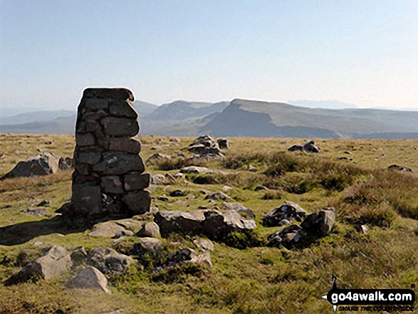
1. The Storr
719m (2,360ft)
The Storr is on interactive maps:
A downloadable go4awalk.com PDF Peak Bagging Map featuring The Storr will be available soon. |
![]()
2. Sithean Bhealaich Chumhaing
393m (1,289ft)
Send it in and we'll publish it here.
Sithean Bhealaich Chumhaing is on interactive maps:
A downloadable go4awalk.com PDF Peak Bagging Map featuring Sithean Bhealaich Chumhaing will be available soon. |

![]()
3. Sgurr nan Gillean (Knight's Peak)
964m (3,163ft)
Sgurr nan Gillean (Knight's Peak) is on interactive maps:
A downloadable go4awalk.com PDF Peak Bagging Map featuring Sgurr nan Gillean (Knight's Peak) will be available soon. |
![]()
4. Sgurr nan Caorach
281m (923ft)
Sgurr nan Caorach is on interactive maps:
A downloadable go4awalk.com PDF Peak Bagging Map featuring Sgurr nan Caorach will be available soon. |
![]()
5. Sgurr na Stri
497m (1,631ft)
Sgurr na Stri is on interactive maps:
A downloadable go4awalk.com PDF Peak Bagging Map featuring Sgurr na Stri will be available soon. |
![]()
6. Sgurr na h-Iolaire
292m (958ft)
Sgurr na h-Iolaire is on interactive maps:
A downloadable go4awalk.com PDF Peak Bagging Map featuring Sgurr na h-Iolaire will be available soon. |
![]()
7. Sgurr na Coinnich
739m (2,425ft)
Sgurr na Coinnich is on interactive maps:
A downloadable go4awalk.com PDF Peak Bagging Map featuring Sgurr na Coinnich will be available soon. |
![]()
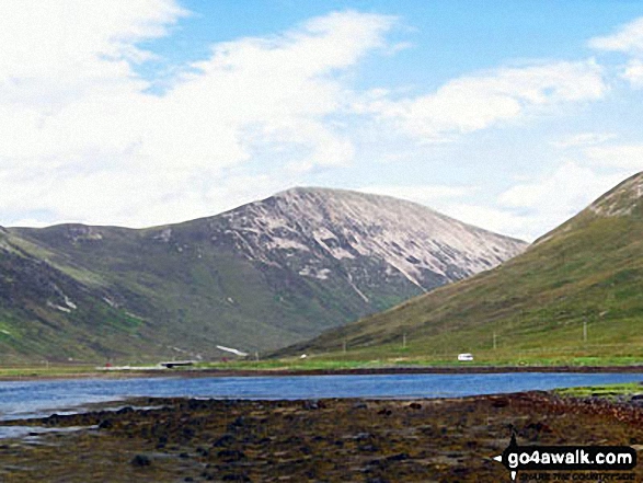
8. Sgurr Mhairi (Glamaig)
775m (2,544ft)
Send it in and we'll publish it here.
Sgurr Mhairi (Glamaig) is on interactive maps:
A downloadable go4awalk.com PDF Peak Bagging Map featuring Sgurr Mhairi (Glamaig) will be available soon. |
![]()
9. Sgurr Dearg (Inaccessible Pinnacle)
986m (3,236ft)
Sgurr Dearg (Inaccessible Pinnacle) is on interactive maps:
A downloadable go4awalk.com PDF Peak Bagging Map featuring Sgurr Dearg (Inaccessible Pinnacle) will be available soon. |
![]()
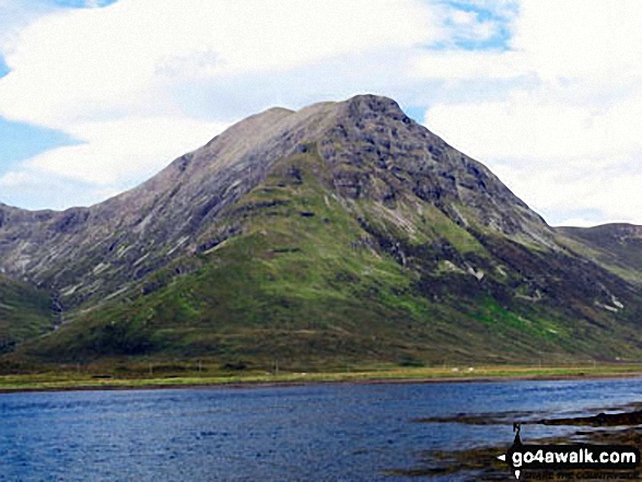
10. Sgurr Alasdair
992m (3,256ft)
Sgurr Alasdair is on interactive maps:
A downloadable go4awalk.com PDF Peak Bagging Map featuring Sgurr Alasdair will be available soon. |
![]()
11. Sgorach Breac
299m (981ft)
Sgorach Breac is on interactive maps:
A downloadable go4awalk.com PDF Peak Bagging Map featuring Sgorach Breac will be available soon. |
![]()
12. Ruadh Stac
493m (1,618ft)
Ruadh Stac is on interactive maps:
A downloadable go4awalk.com PDF Peak Bagging Map featuring Ruadh Stac will be available soon. |
![]()
13. Roineval (Skye)
439m (1,441ft)
Roineval (Skye) is on interactive maps:
A downloadable go4awalk.com PDF Peak Bagging Map featuring Roineval (Skye) will be available soon. |
![]()
14. Meall na Suiramach
543m (1,782ft)
Meall na Suiramach is on interactive maps:
A downloadable go4awalk.com PDF Peak Bagging Map featuring Meall na Suiramach will be available soon. |
![]()
15. Meall a' Mhaoil
284m (932ft)
Meall a' Mhaoil is on interactive maps:
A downloadable go4awalk.com PDF Peak Bagging Map featuring Meall a' Mhaoil will be available soon. |
![]()
16. Marsco
736m (2,416ft)
Marsco is on interactive maps:
A downloadable go4awalk.com PDF Peak Bagging Map featuring Marsco will be available soon. |
![]()
17. Hartaval
669m (2,196ft)
Hartaval is on interactive maps:
A downloadable go4awalk.com PDF Peak Bagging Map featuring Hartaval will be available soon. |
![]()
18. Glas Bheinn Mhor (Skye)
569m (1,867ft)
Glas Bheinn Mhor (Skye) is on interactive maps:
A downloadable go4awalk.com PDF Peak Bagging Map featuring Glas Bheinn Mhor (Skye) will be available soon. |
![]()
19. Garbh-bheinn (Skye)
808m (2,652ft)
Garbh-bheinn (Skye) is on interactive maps:
A downloadable go4awalk.com PDF Peak Bagging Map featuring Garbh-bheinn (Skye) will be available soon. |
![]()
20. Cruachan-Glen Vic Askill
296m (968ft)
Send it in and we'll publish it here.
Cruachan-Glen Vic Askill is on interactive maps:
A downloadable go4awalk.com PDF Peak Bagging Map featuring Cruachan-Glen Vic Askill will be available soon. |

![]()
21. Bruach na Frithe
958m (3,144ft)
Bruach na Frithe is on interactive maps:
A downloadable go4awalk.com PDF Peak Bagging Map featuring Bruach na Frithe will be available soon. |
![]()
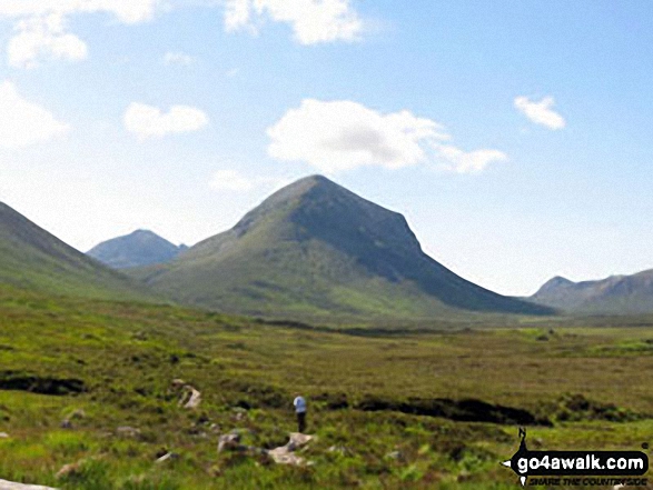
22. Bla Bheinn (Blaven)
928m (3,046ft)
Bla Bheinn (Blaven) is on interactive maps:
A downloadable go4awalk.com PDF Peak Bagging Map featuring Bla Bheinn (Blaven) will be available soon. |
![]()
23. Bioda Buidhe
466m (1,529ft)
Bioda Buidhe is on interactive maps:
A downloadable go4awalk.com PDF Peak Bagging Map featuring Bioda Buidhe will be available soon. |
![]()
24. Biod Mor
384m (1,260ft)
Biod Mor is on interactive maps:
A downloadable go4awalk.com PDF Peak Bagging Map featuring Biod Mor will be available soon. |
![]()
25. Biod an Athair
314m (1,030ft)
Biod an Athair is on interactive maps:
A downloadable go4awalk.com PDF Peak Bagging Map featuring Biod an Athair will be available soon. |
![]()
26. Ben Tianavaig
413m (1,355ft)
Ben Tianavaig is on interactive maps:
A downloadable go4awalk.com PDF Peak Bagging Map featuring Ben Tianavaig will be available soon. |
![]()
27. Ben Meabost
346m (1,136ft)
Ben Meabost is on interactive maps:
A downloadable go4awalk.com PDF Peak Bagging Map featuring Ben Meabost will be available soon. |
![]()
28. Ben Lee
445m (1,460ft)
Ben Lee is on interactive maps:
A downloadable go4awalk.com PDF Peak Bagging Map featuring Ben Lee will be available soon. |
![]()
29. Ben Geary
284m (932ft)
Ben Geary is on interactive maps:
A downloadable go4awalk.com PDF Peak Bagging Map featuring Ben Geary will be available soon. |
![]()
30. Ben Dearg
552m (1,812ft)
Ben Dearg is on interactive maps:
A downloadable go4awalk.com PDF Peak Bagging Map featuring Ben Dearg will be available soon. |
Page 1 of 2 Go to page: 1 2 |
View these 48 Mountains, Peaks, Tops and Hills:
- On an Interactive Google Map (loads faster)
- On an Interactive Google Map with a list of tops below it.
(makes it easier to locate a particular top) - On a Detailed List in:
Alphabetical Order | Height Order - On one page with 'yet-to-be-bagged' listed 1st & then 'already-bagged' tops listed 2nd in:
Alphabetical Order | Height Order - On one page with 'already-bagged' tops listed 1st & then 'yet-to-be-bagged' tops listed 2nd in:
Alphabetical Order | Height Order
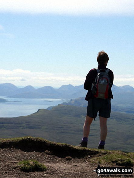
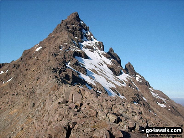
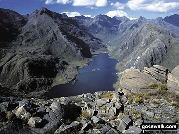
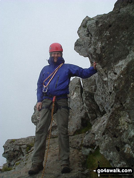
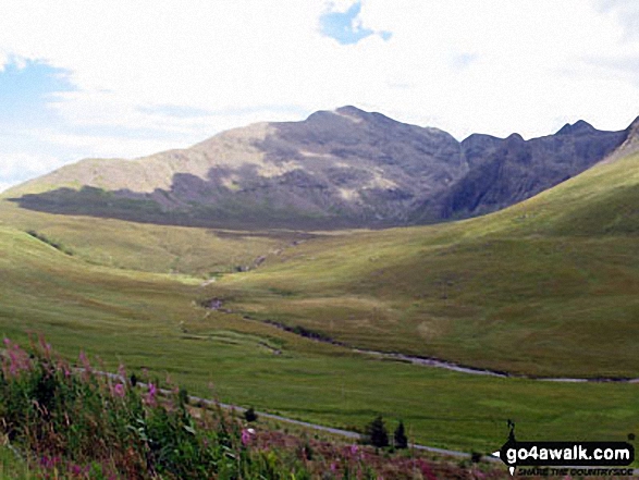
 Sgurr Alasdair in The Inner Hebrides (Western Isles)
Photo: Ronnie Clayes
Is there a Mountain, Peak, Top or Hill missing from the above google map or list?
Let us know an we will add it to our database.

To contribute to go4awalk.com or to contact us about anything at all - see Talk To Us.
For help see Help.
go4awalk.com and go4awalk.co.uk are registered trademarks of TMDH Limited.
Copyright © 2000-2026 TMDH Limited. All rights reserved.
Copyright Terms & Conditions Privacy Statement
A - Z Walks Home Log On/Accounts Photo Gallery Walk Ideas and Collections Fell Facts Hill Skills Walking Questions and Answers Your Stories News Competitions Product Reviews/Gear Tests Walking Gear Guides Peaks and Mountains Peak Bagging Find New Walking Friends Camping GPS Waypoints for Walking Contents Walk Search Talk To Us go4awalk.com Help Free Example Walks Newsletter


