The Glen Creran Hills area of Scottish Region 3: Loch Leven to Connel Bridge, Strath of Orchy and Glen Lochy - a fully detailed list of all the Mountains, Peaks, Tops and Hills
The Glen Creran Hills area of Scottish Region 3: Loch Leven to Connel Bridge, Strath of Orchy and Glen Lochy region is the area enclosed by an imaginary line connecting:
- Rubh' a' Bhaid Bheithe to Glencoe via Loch Linnhe, South Ballachulish & Loch Leven to the North
- Glencoe to Creagan via Gleann an Fhiodh, Glen Creran & Elleric to the South East
- Creagan to Loch Linnhe via Loch Creran to the South
- Loch Creran to Rubh' a' Bhaid Bheithe via Loch Linnhe to the North West
If you include all the Munros, the Corbetts, the Grahams, the Donalds, the Murdos, the Marilyns, the Bridgets (Hills), and all the Mountains, Tops, Peaks and Hills with a Trig Point on them there are 9 tops to climb, bag & conquer and the highest point is Sgorr Dhearg (Beinn a' Bheithir) at 1,024m (3,361ft).
To see these Mountains, Peaks, Tops and Hills displayed in different ways - see the options in the left-hand column and towards the bottom of this page.
![]() Your Personal Bagging Record for The Glen Creran Hills area of Scottish Region 3: Loch Leven to Connel Bridge, Strath of Orchy and Glen Lochy
Your Personal Bagging Record for The Glen Creran Hills area of Scottish Region 3: Loch Leven to Connel Bridge, Strath of Orchy and Glen Lochy
LOG ON and RELOAD this page to show which Mountains, Peaks, Tops and Hills you have already climbed, bagged & conquered [. . . more details]
See this list in: Alphabetical Order
| Height Order‡
To reverse the order select the link again.
Mountain, Peak, Top or Hill:
Bagged

![]()
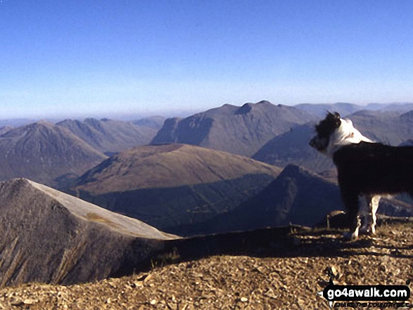
1. Sgorr Dhearg (Beinn a' Bheithir)
1,024m (3,361ft)
Sgorr Dhearg (Beinn a' Bheithir) is on interactive maps:
A downloadable go4awalk.com PDF Peak Bagging Map featuring Sgorr Dhearg (Beinn a' Bheithir) will be available soon. |

![]()
2. Sgorr Dhonuill (Beinn a' Bheithir)
1,001m (3,285ft)
Sgorr Dhonuill (Beinn a' Bheithir) is on interactive maps:
A downloadable go4awalk.com PDF Peak Bagging Map featuring Sgorr Dhonuill (Beinn a' Bheithir) will be available soon. |

![]()
3. Sgorr Bhan (Beinn a' Bheithir)
947m (3,108ft)
Send it in and we'll publish it here.
Sgorr Bhan (Beinn a' Bheithir) is on interactive maps:
A downloadable go4awalk.com PDF Peak Bagging Map featuring Sgorr Bhan (Beinn a' Bheithir) will be available soon. |

![]()
4. Fraochaidh
879m (2,885ft)
Fraochaidh is on interactive maps:
A downloadable go4awalk.com PDF Peak Bagging Map featuring Fraochaidh will be available soon. |

![]()
5. Beinn Churalain
549m (1,802ft)
Beinn Churalain is on interactive maps:
A downloadable go4awalk.com PDF Peak Bagging Map featuring Beinn Churalain will be available soon. |
![]()
6. Beinn Donn
473m (1,552ft)
Beinn Donn is on interactive maps:
A downloadable go4awalk.com PDF Peak Bagging Map featuring Beinn Donn will be available soon. |

![]()
7. Beinn Sgluich
466m (1,529ft)
Beinn Sgluich is on interactive maps:
A downloadable go4awalk.com PDF Peak Bagging Map featuring Beinn Sgluich will be available soon. |
![]()
8. Ardsheal Hill
263m (863ft)
Ardsheal Hill is on interactive maps:
A downloadable go4awalk.com PDF Peak Bagging Map featuring Ardsheal Hill will be available soon. |
![]()
9. Airds Hill
181m (594ft)
Airds Hill is on interactive maps:
A downloadable go4awalk.com PDF Peak Bagging Map featuring Airds Hill will be available soon. |
View these 9 tops:
- On an Interactive Google Map with a list of tops below it
- On a Detailed List
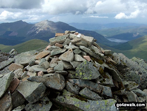 Sgorr Dhearg (Beinn a' Bheithir) in Loch Leven to Connel Bridge, Strath of Orchy and Glen Lochy
Photo: Ian Taylor
Is there a Mountain, Peak, Top or Hill missing from the above google map or list?
Let us know an we will add it to our database.

To contribute to go4awalk.com or to contact us about anything at all - see Talk To Us.
For help see Help.
go4awalk.com and go4awalk.co.uk are registered trademarks of TMDH Limited.
Copyright © 2000-2025 TMDH Limited. All rights reserved.
Copyright Terms & Conditions Privacy Statement
A - Z Walks Home Log On/Accounts Photo Gallery Walk Ideas and Collections Fell Facts Hill Skills Walking Questions and Answers Your Stories News Competitions Product Reviews/Gear Tests Walking Gear Guides Peaks and Mountains Peak Bagging Find New Walking Friends Camping GPS Waypoints for Walking Contents Walk Search Talk To Us go4awalk.com Help Free Example Walks Newsletter


